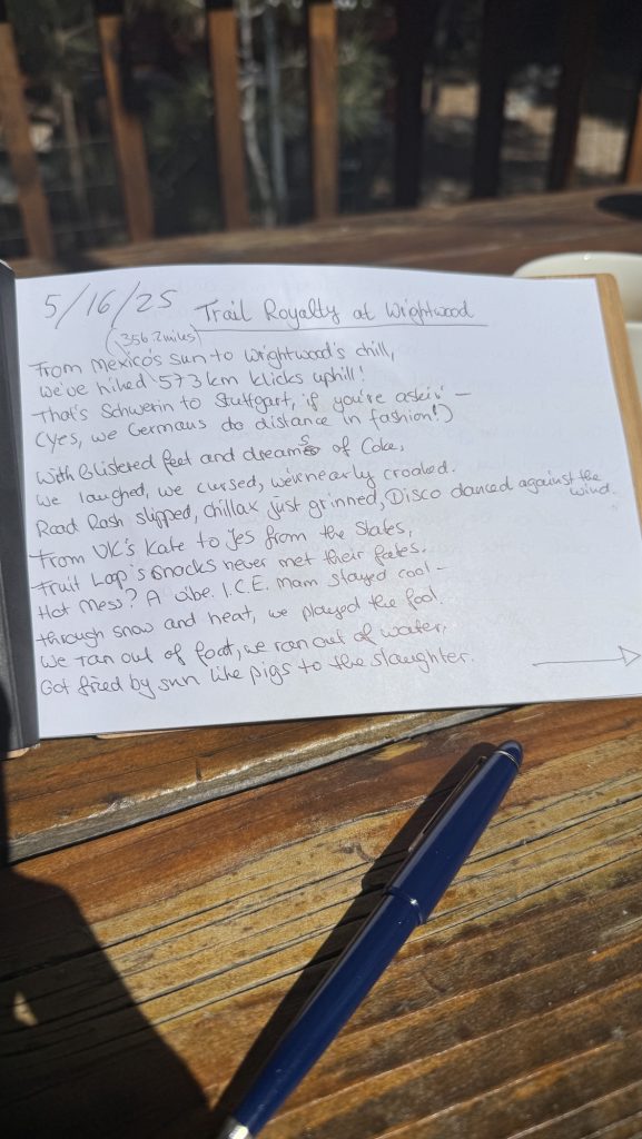
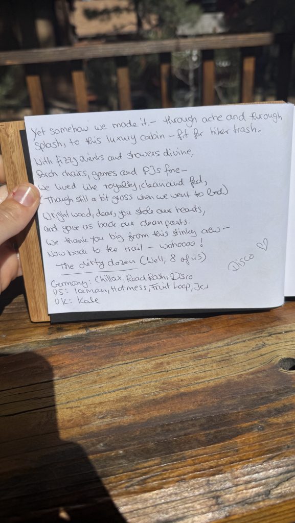
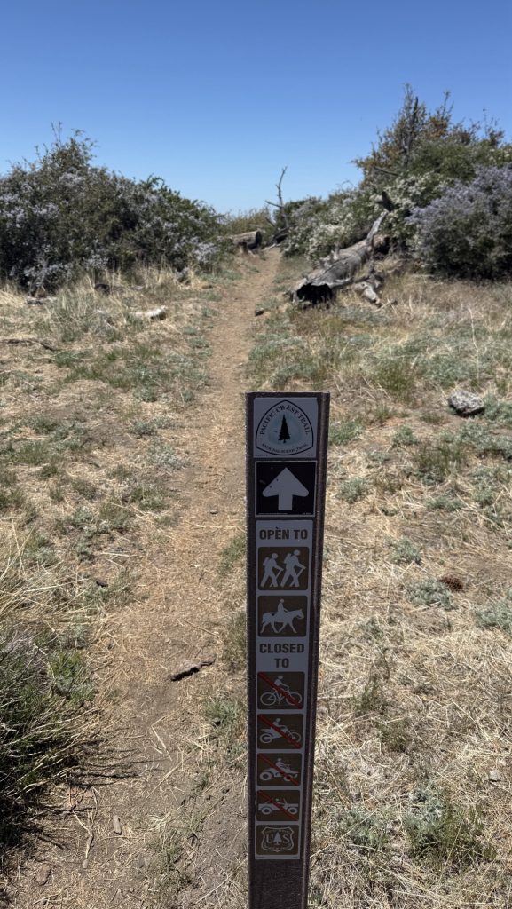
Days 32 – 37: Wrightwood to (374.0 – 452.9)
This is a longer post, covering multiple days, as I am changing the posting cycle to once a week roughly. Exciting news: we added a new feature: Now you can subscribe to get an email notification with each new post, more infos below. 🙂
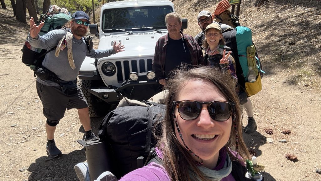
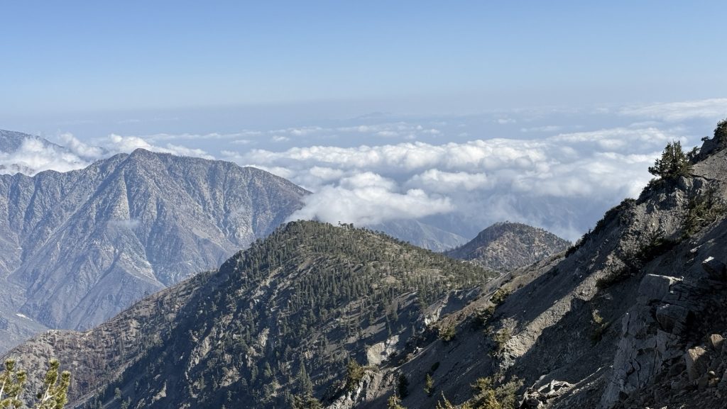
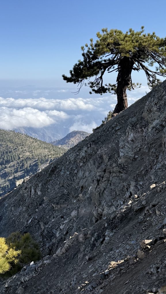
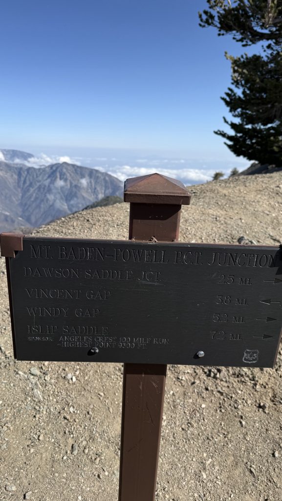
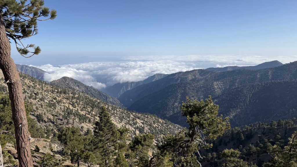
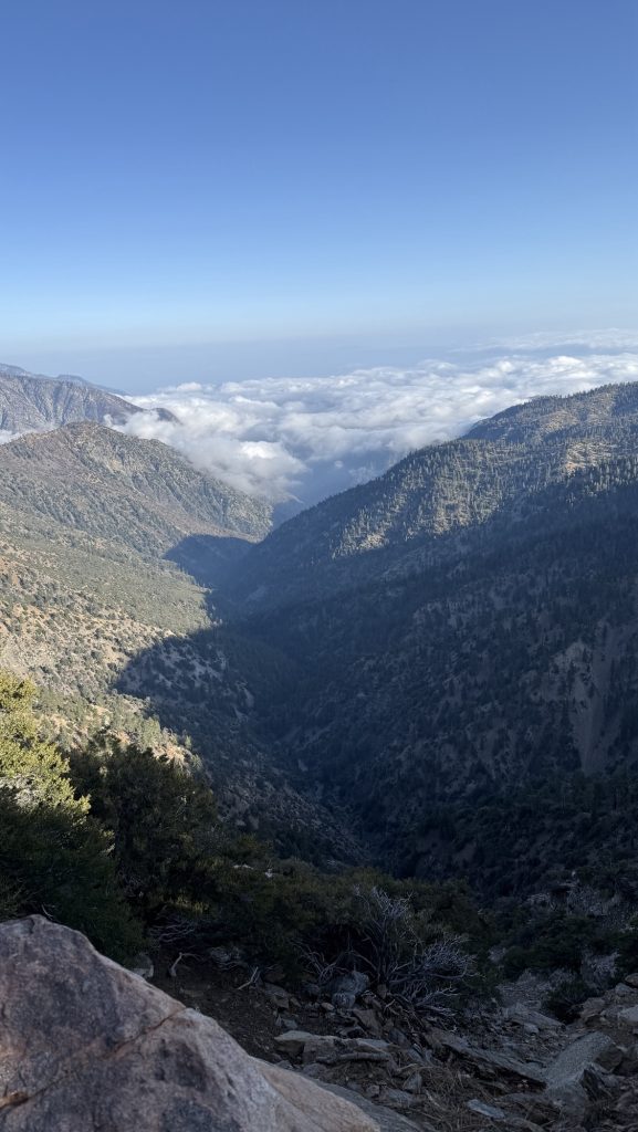
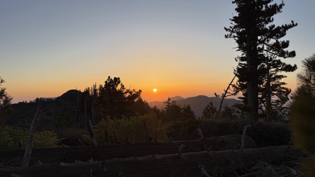
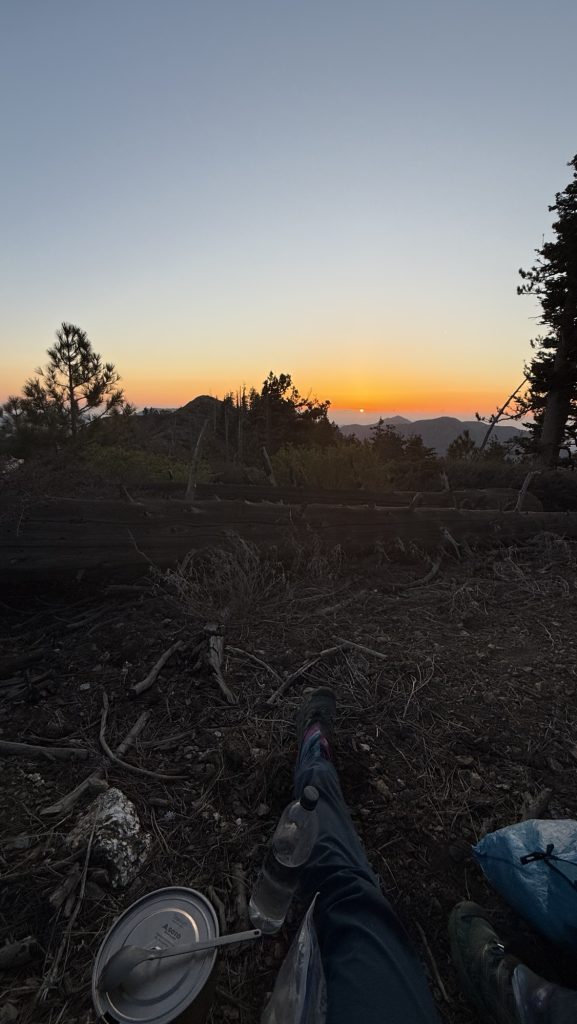
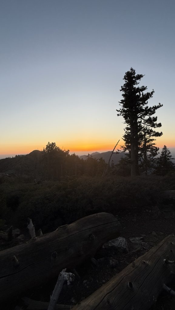
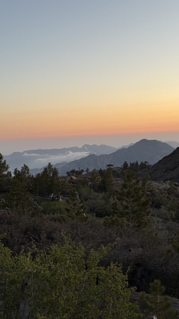
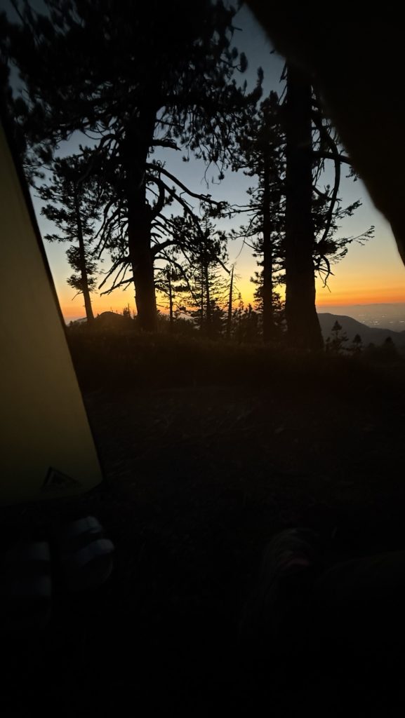
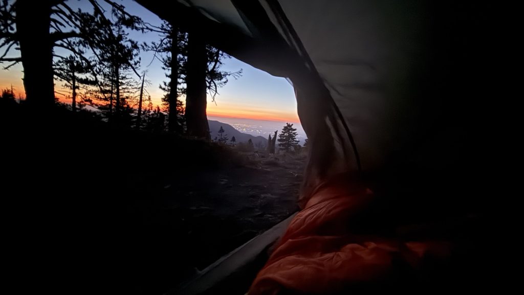
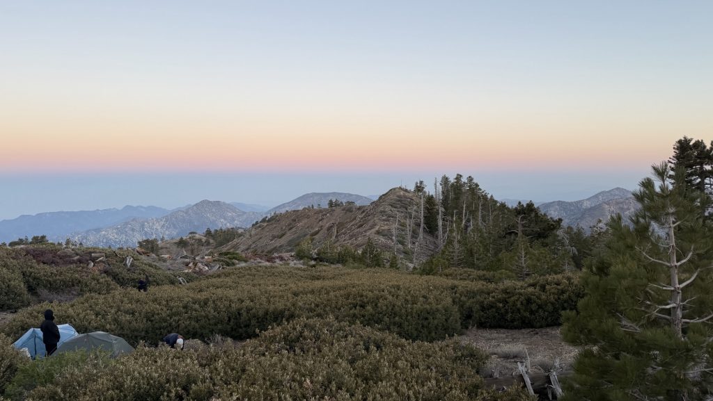
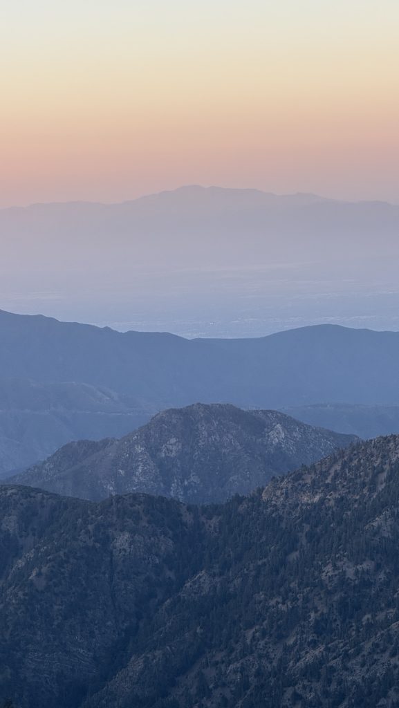
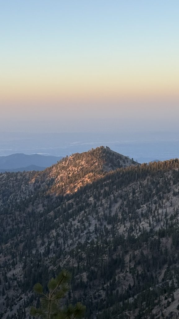
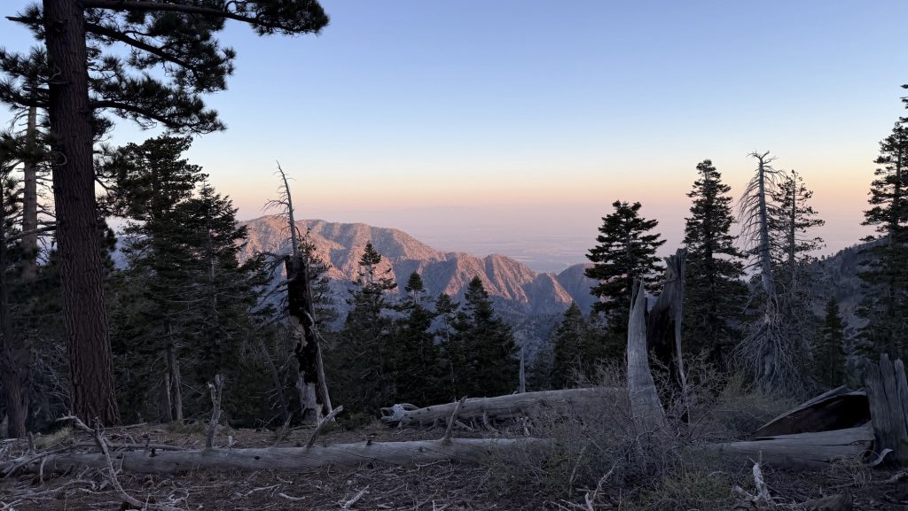
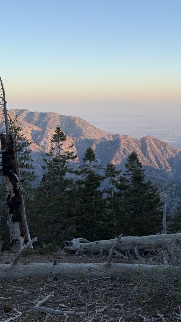
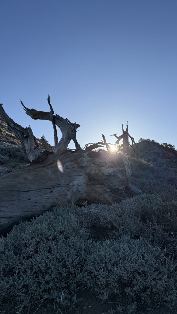
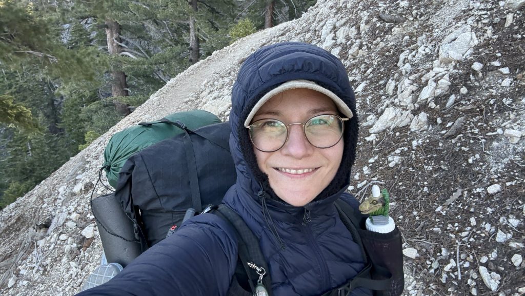
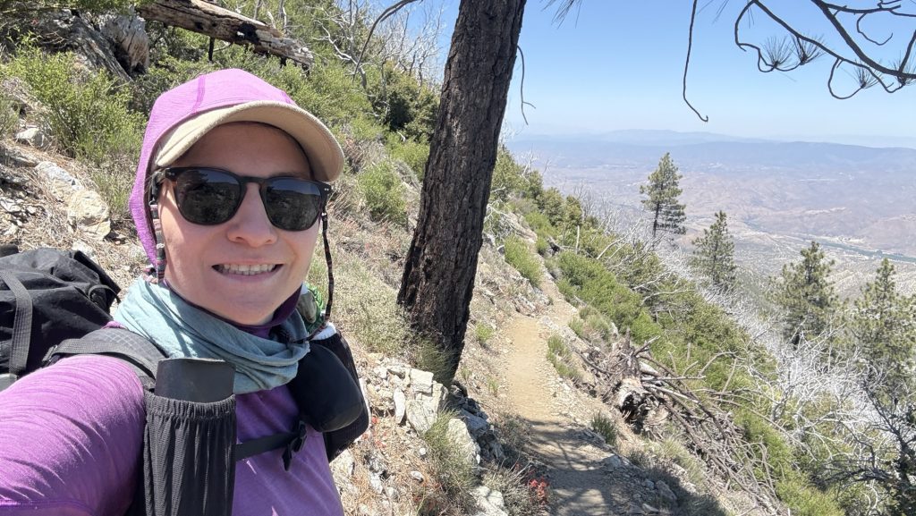
Day 32: Mt Baden Powell & Epic sunset (374.0 to 381.7)
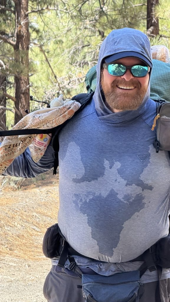
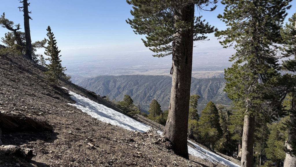
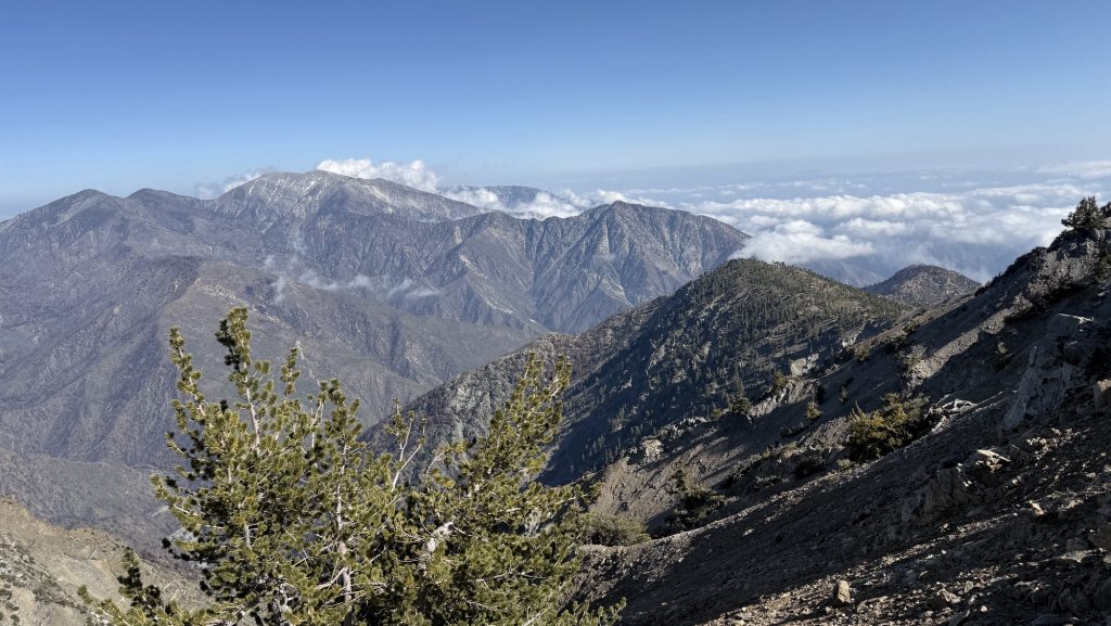
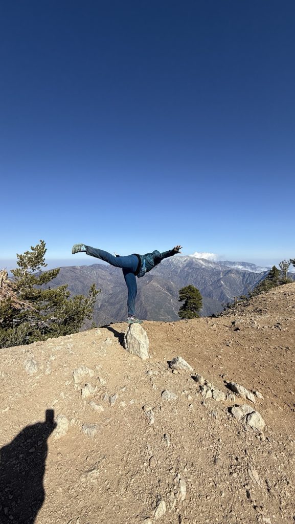
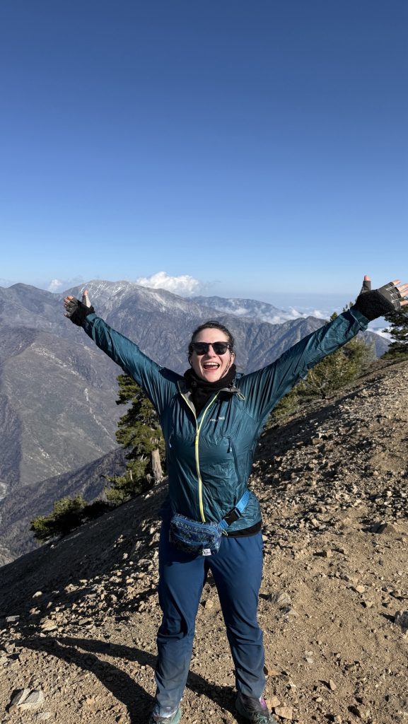
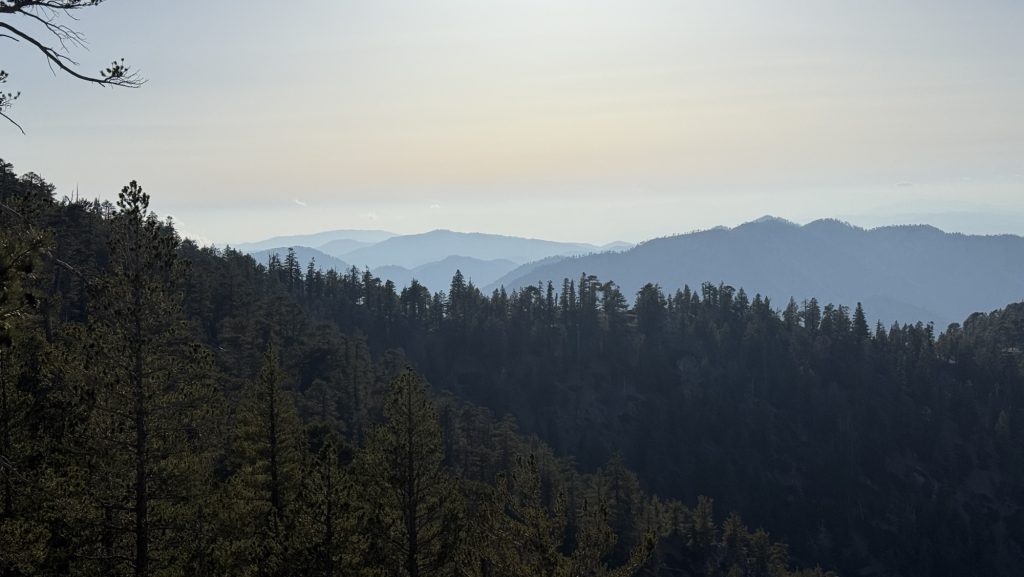
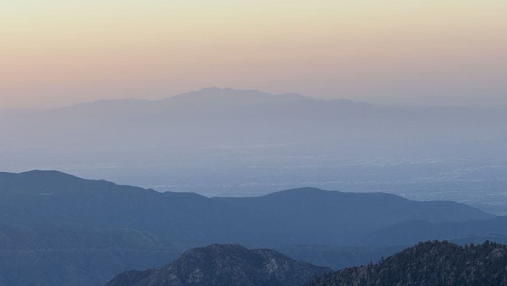
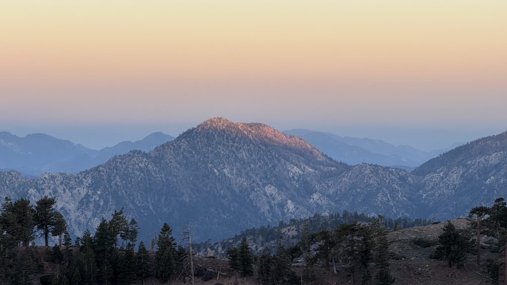
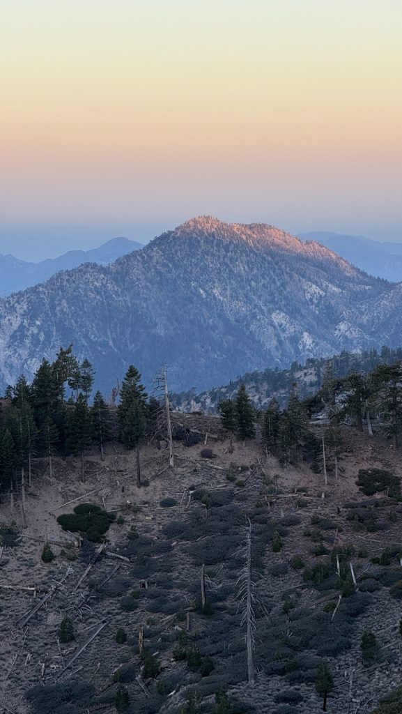
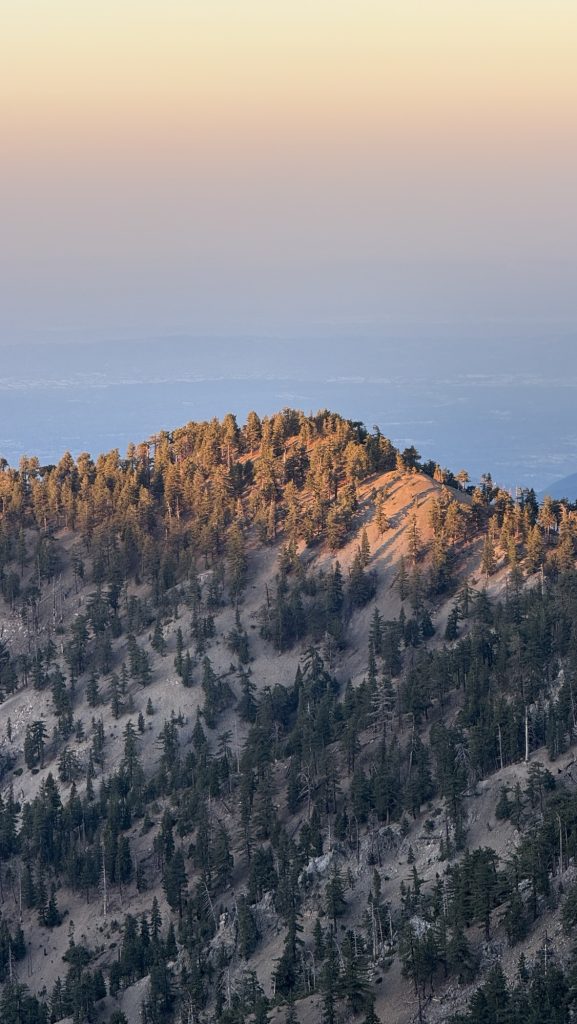
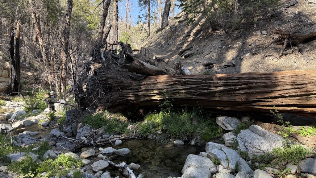
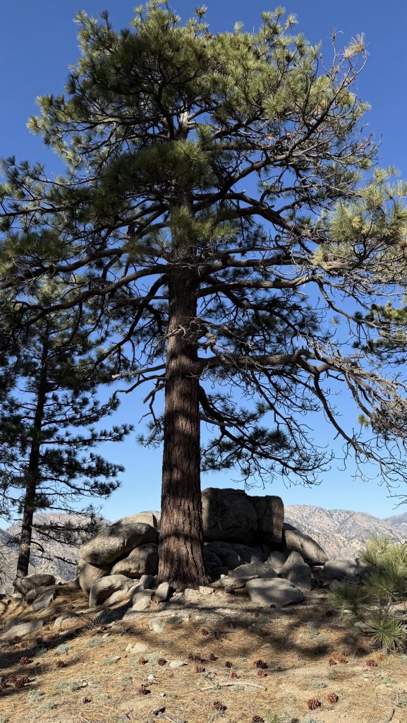
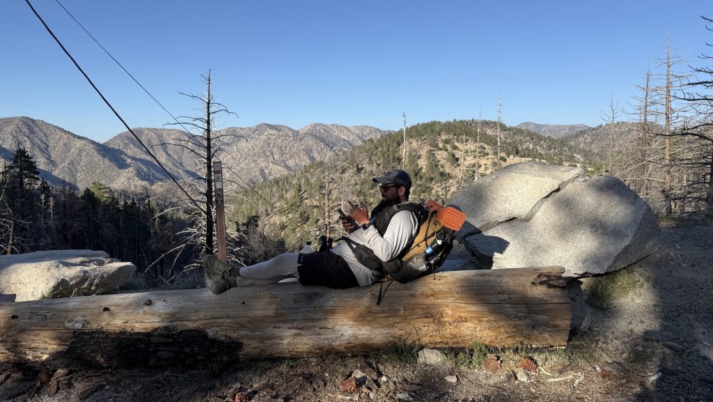
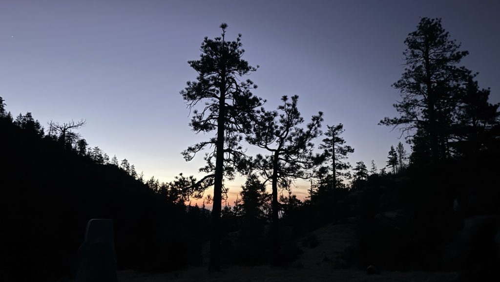
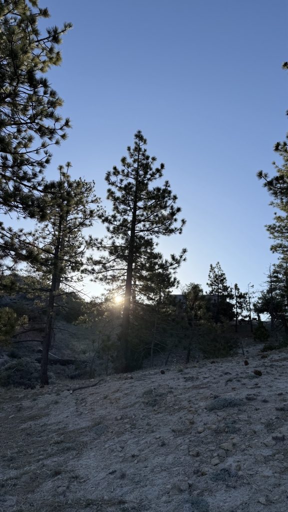
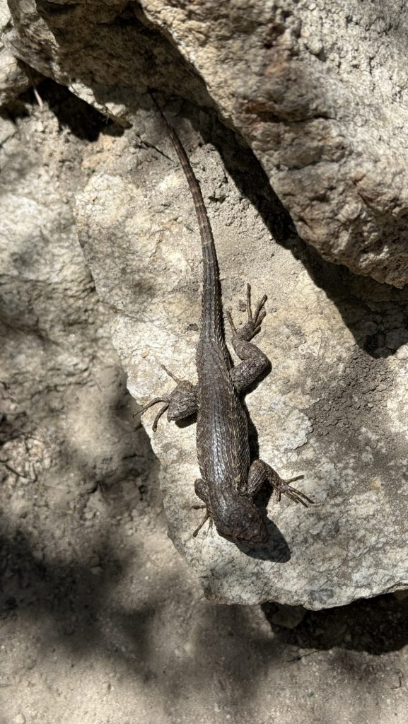
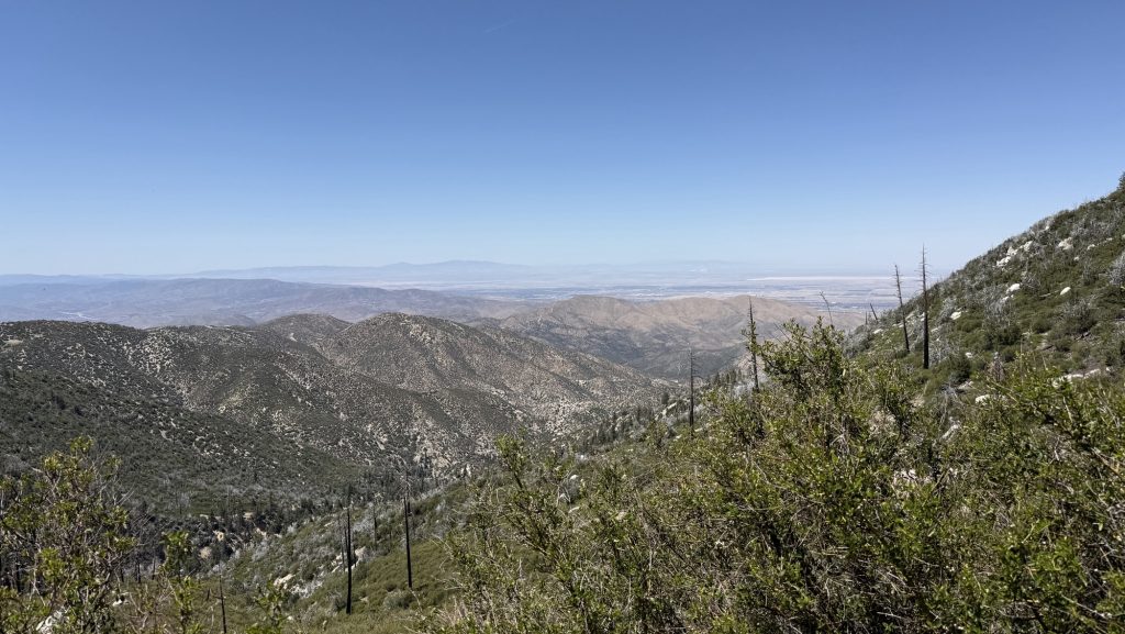
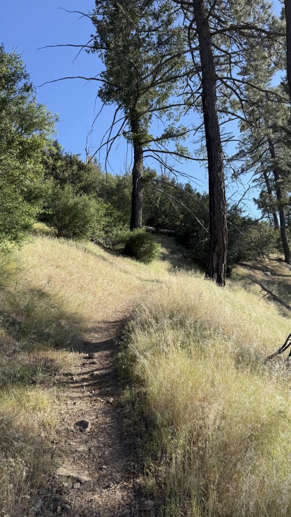
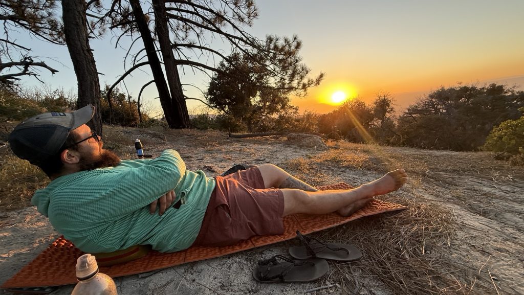
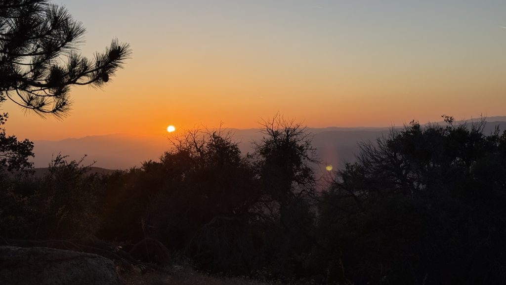
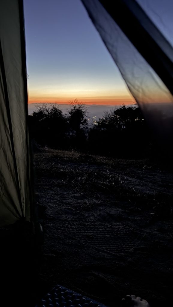
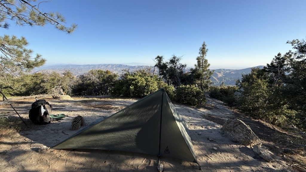
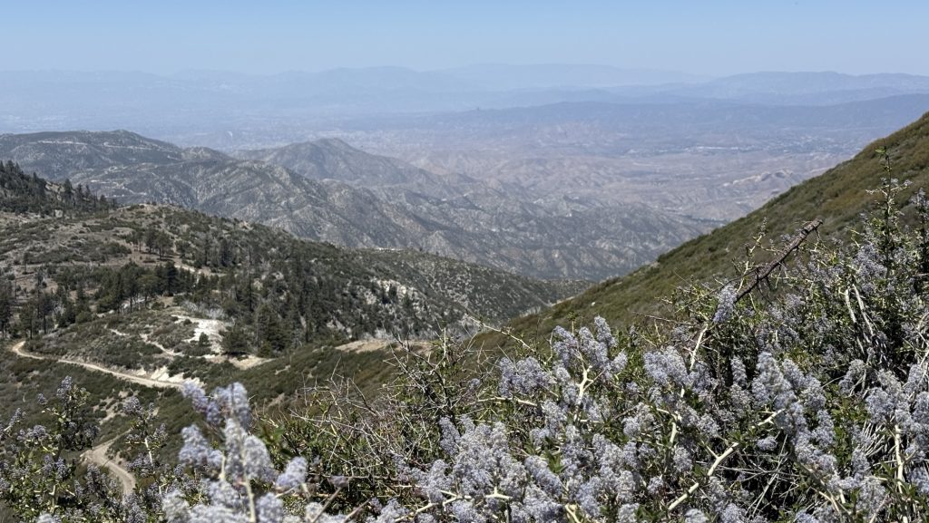
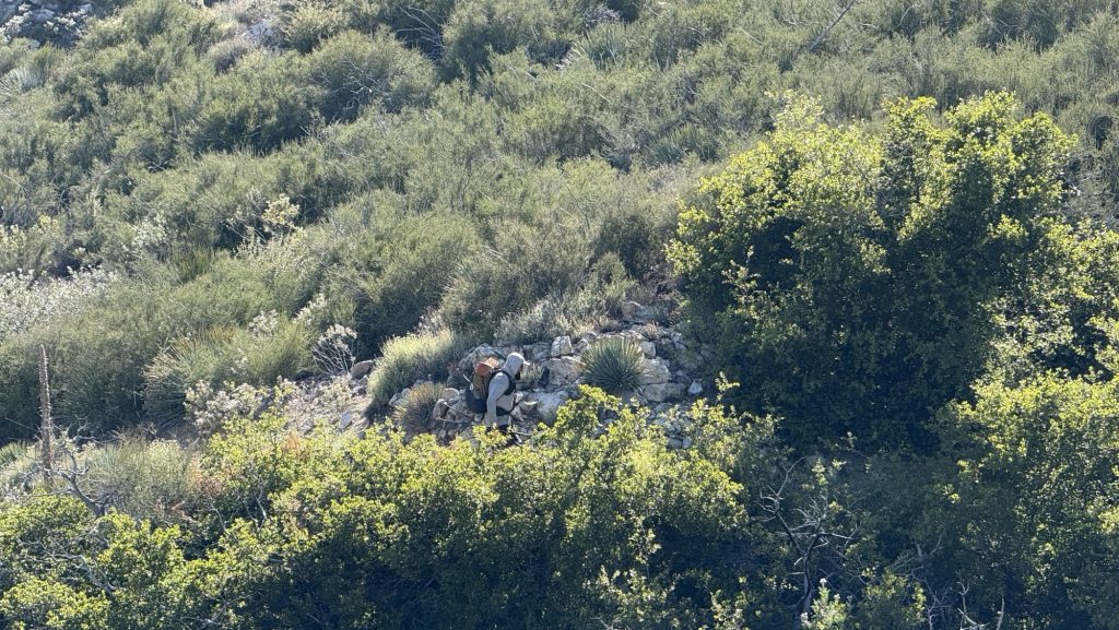
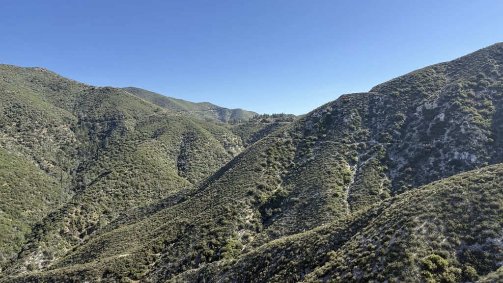
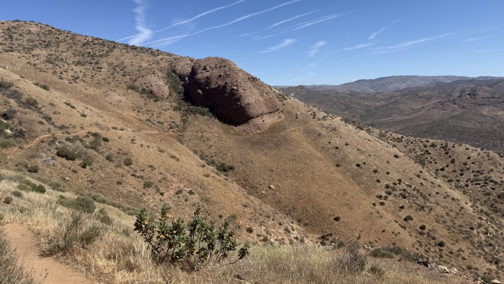
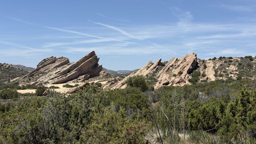
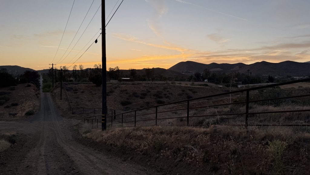
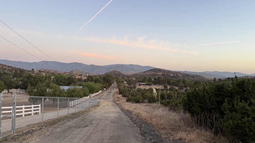
We had to skip miles 356.2 to 374.0 due to the Wrightwood Bridge Fire Closure. We got back on trail at Jackson Lake and hiked up a 5 mile fire road the parking lot and PCT just below Mt Baden Powell. It was an easy ascent and we had lunch on top. It’s at some 2867m. We hiked 13.5 miles and didn’t find a spot to camp till it was getting dark because it was super windy up there. We saw a beautiful sunset.
Stats:
Distance: 13.5 miles
Steps: 27084
Ascend: 1354m
Descend: 599
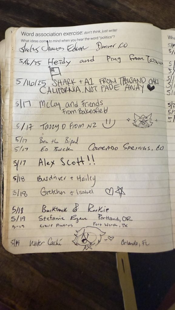
Wait… what are you doing? And how long is the trail? If you are new here and wondering what I am up to, have a look at this post: https://carbonaraontour.com/?p=2248.
Day 33: 381.7 to 400.7 (20.67 miles)
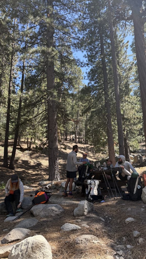
Hiked with Iceman all day, had several breaks and ran into Kate, Fruit Loop, Jess and Road Rash. But we had been resting for half an hour when they got there and stayed more to hang out with them, making it breaks too long and arriving at camp too late at night.
We are cowboy camping, which saves time setting up camp. The stars were amazing and I saw the Big Dipper right above me but was too tired to take a picture. It was beatiful and there was little light pollution.

Distance: 20.64miles
Seps: 46849
Descend: 1809m
Ascend: 1067m
3600 calories
Day 34: 400.7 – 420.8 (20.1 miles)
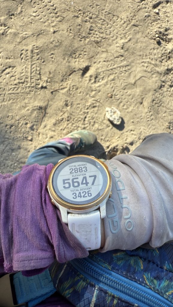
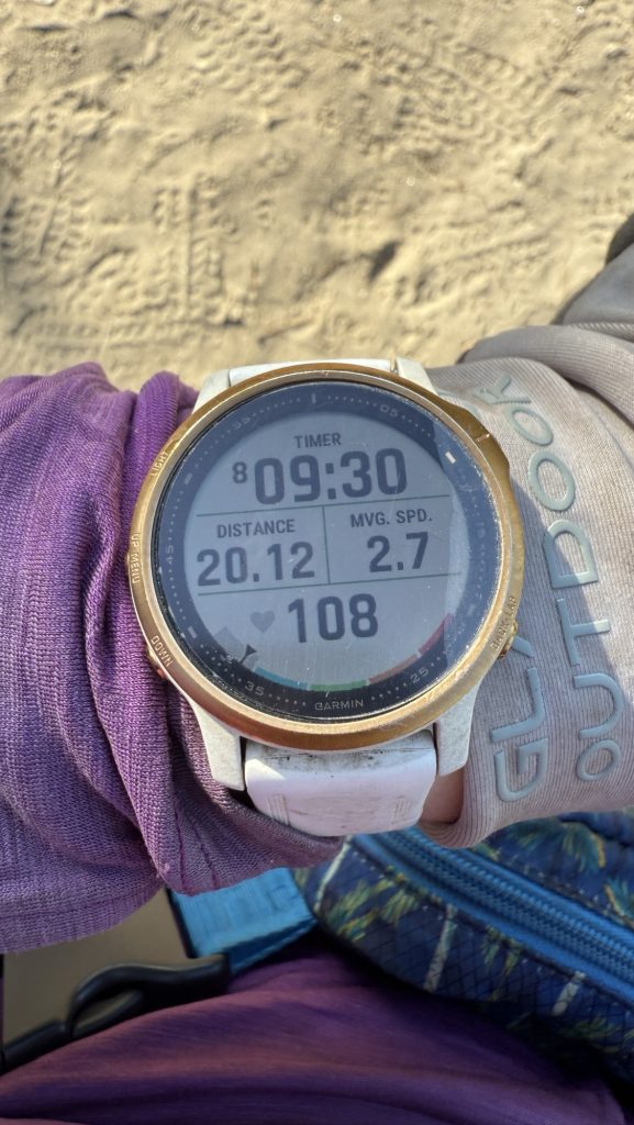
Stats:
Distance: 20.12 miles
Steps: 44998
Ascend: 879m
Descend: 1044m
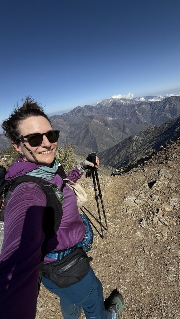
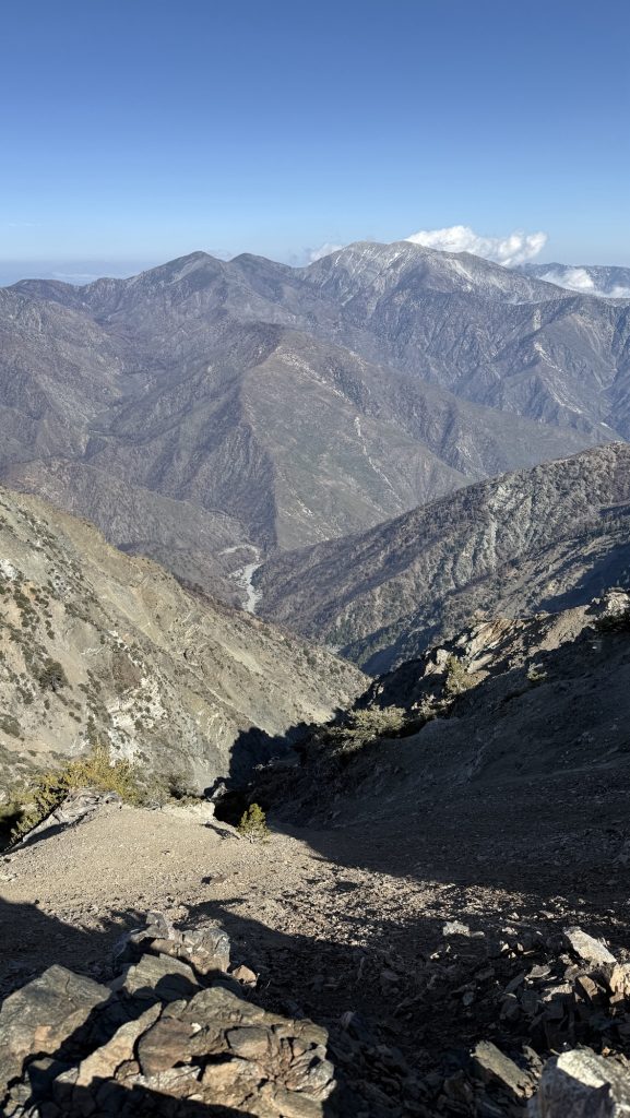
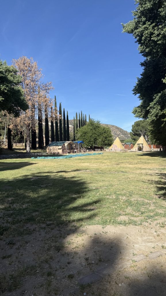
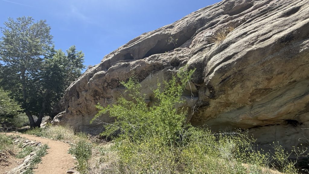
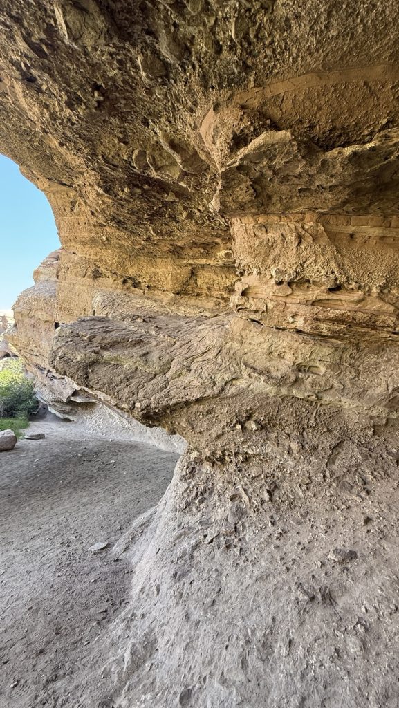
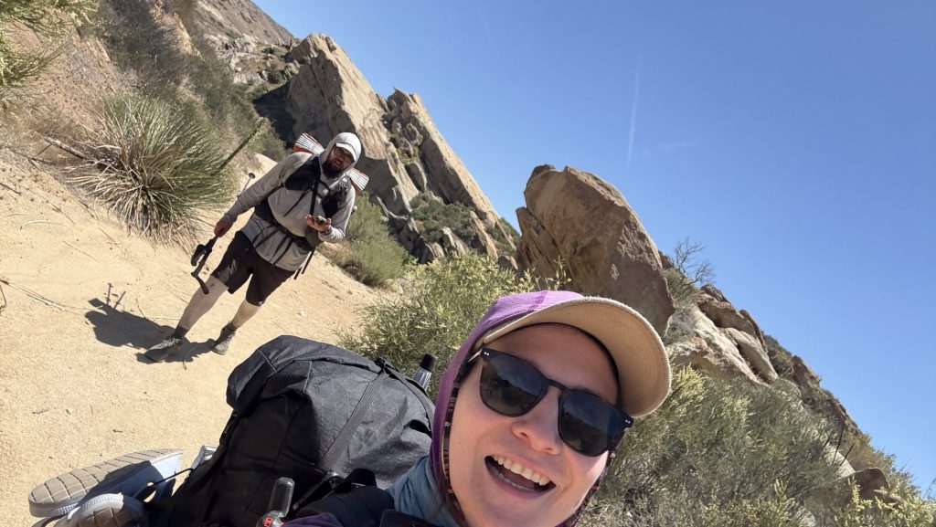
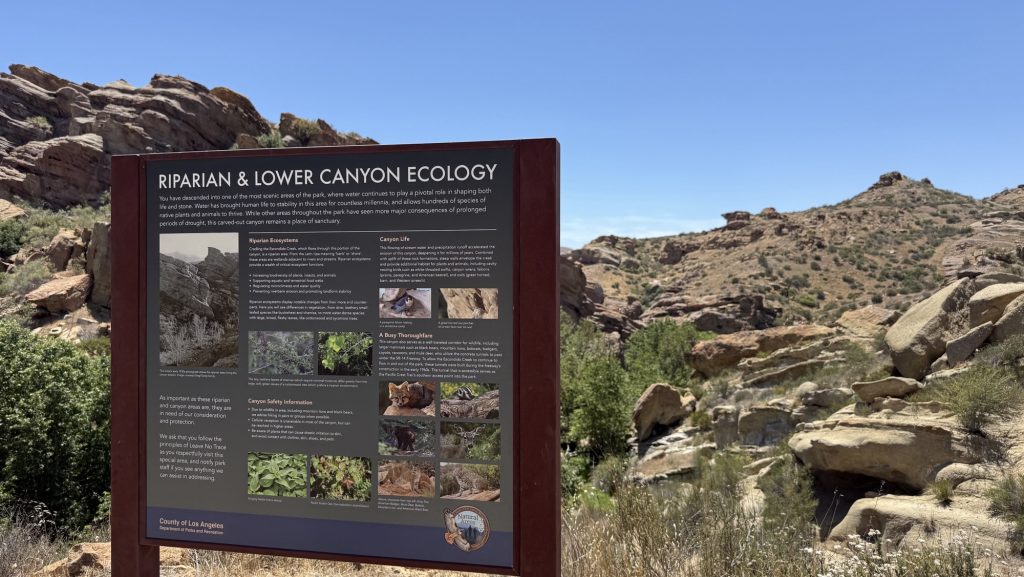
Day 35: 420.8 to 444.3 Acton (23.5 miles)
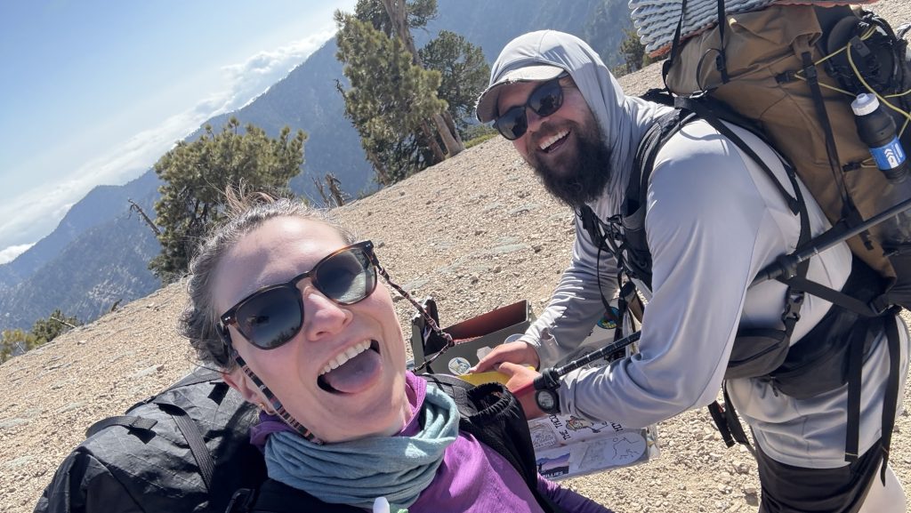
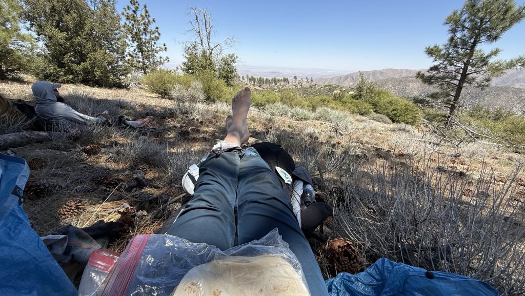
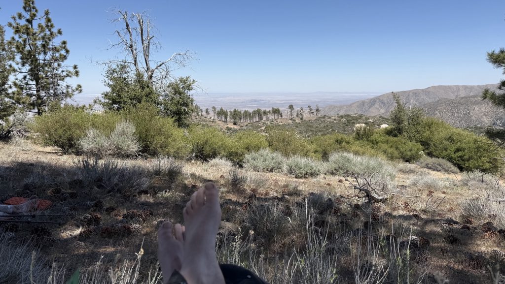
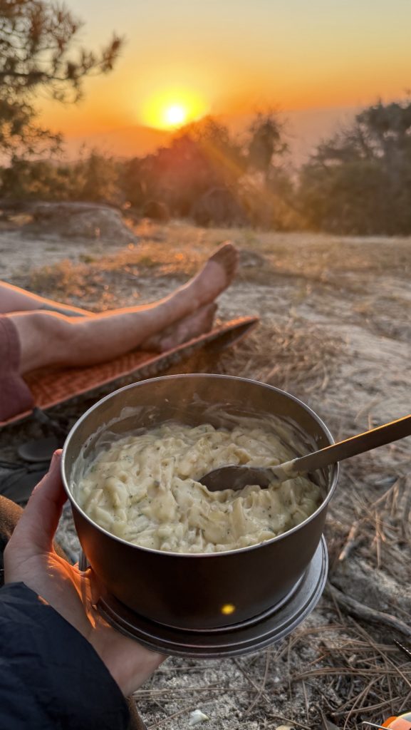
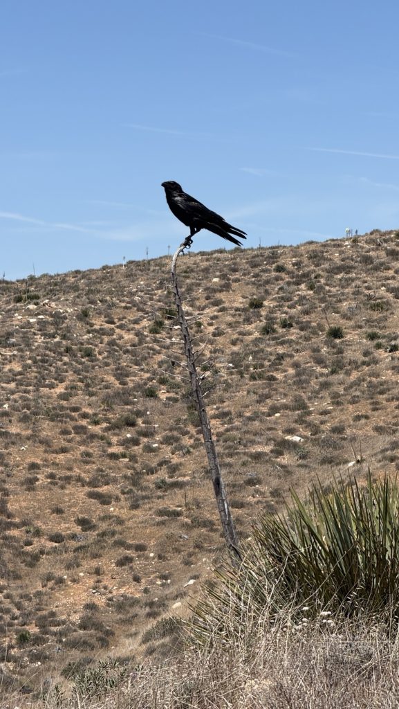
We started slow and I hiked 5 miles without coffee or food and bunked. I felt really weak and I sat down on trail and ate and had coffee. Then Iceman showed up and we took a long break in the shade, I had another coffee with chocolate powder. I put peanut butter in my cereal and I was super strong up the hills. I was flying and the scenery was beautiful.
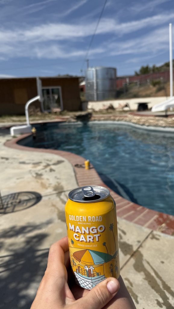
Today I got my period and that’s tough on trail. Luckily, we passed a ranger’s station and there is an outhouse so I hurried there 😂🤪. While we took rest in the shade, Todd, the care taker saw us and went into his cabin. He came out with IPAs and cokes. 🤭🥲🍺😍 Ice cold. We had ice cold IPAs (my favorite beers) on trail. 3 days after we last saw a town. What a lovely surprise. Trail Magic!! Everything is so much more delicious after you’ve hiked without running water for a few days.
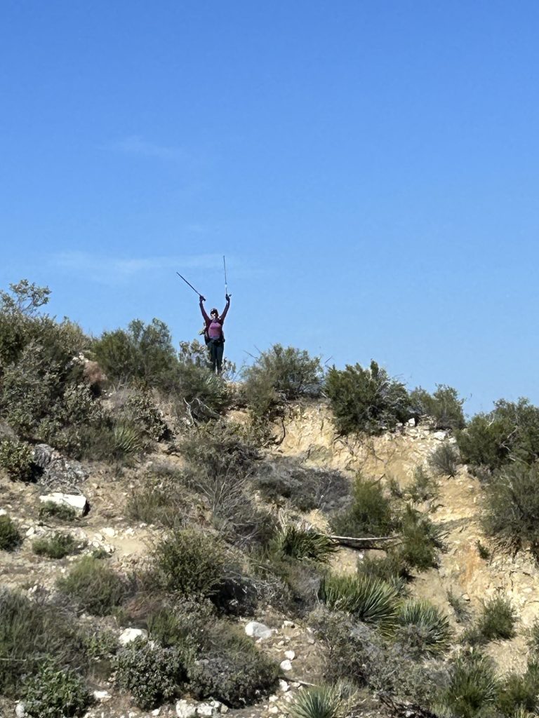
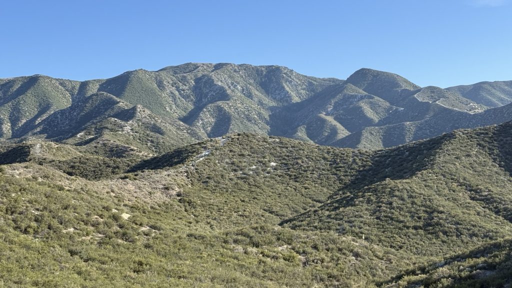
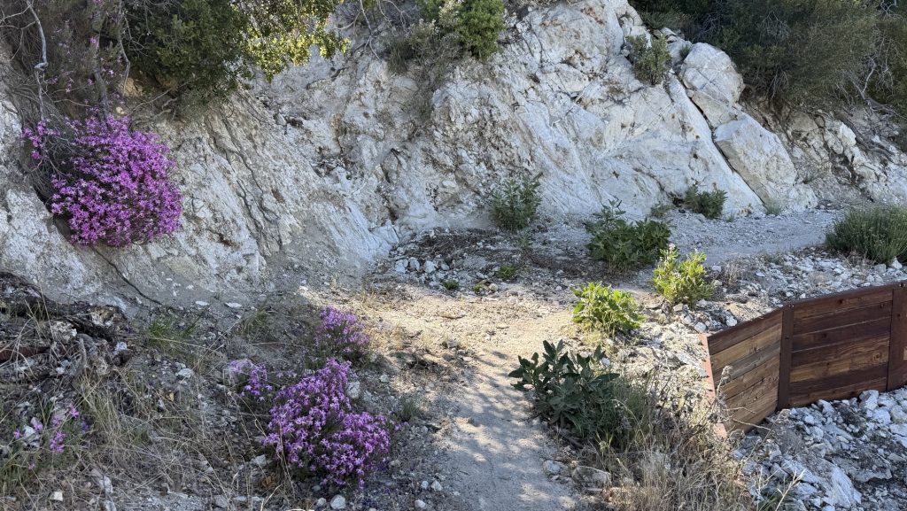
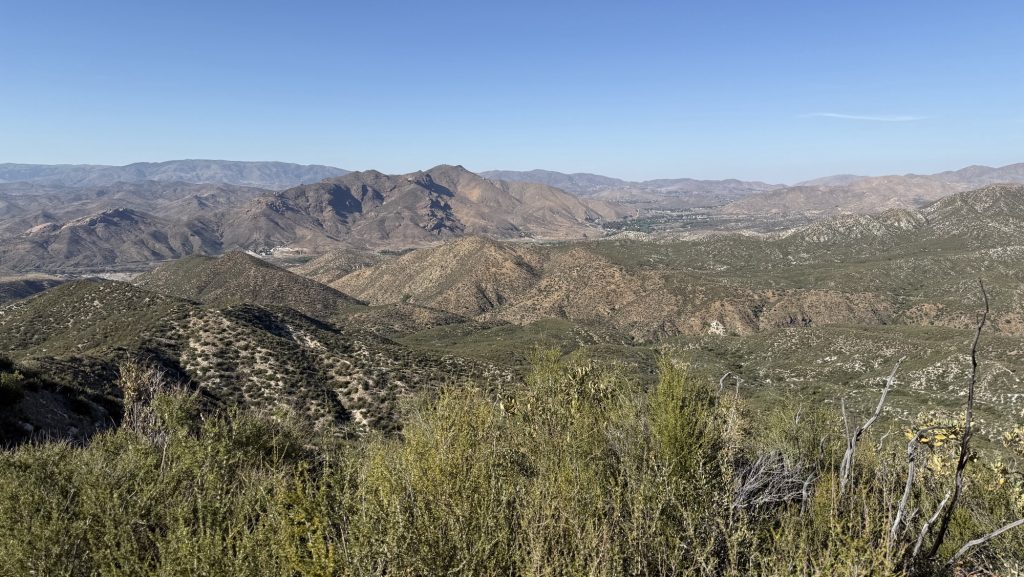
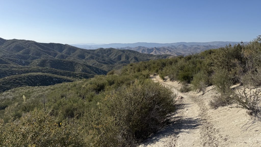
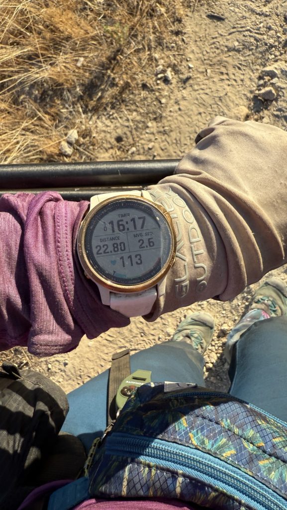
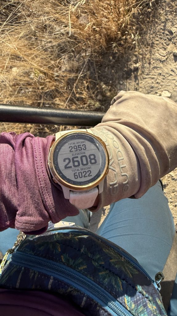
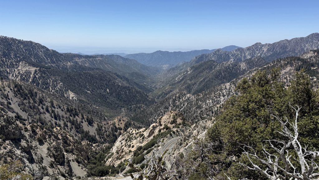
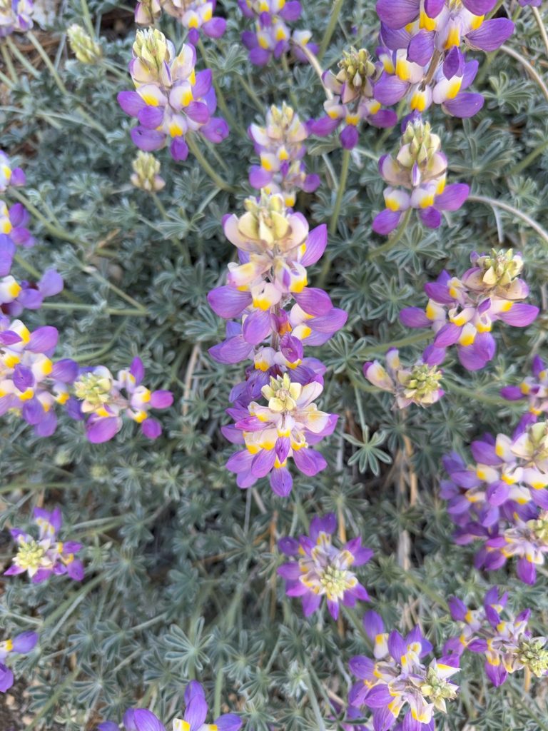
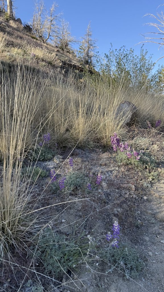
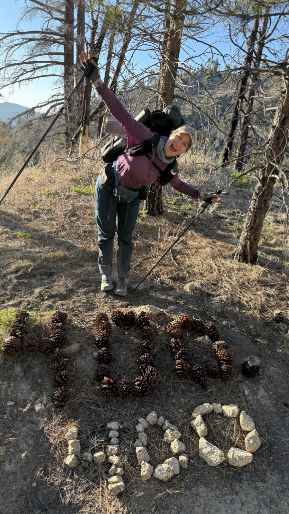
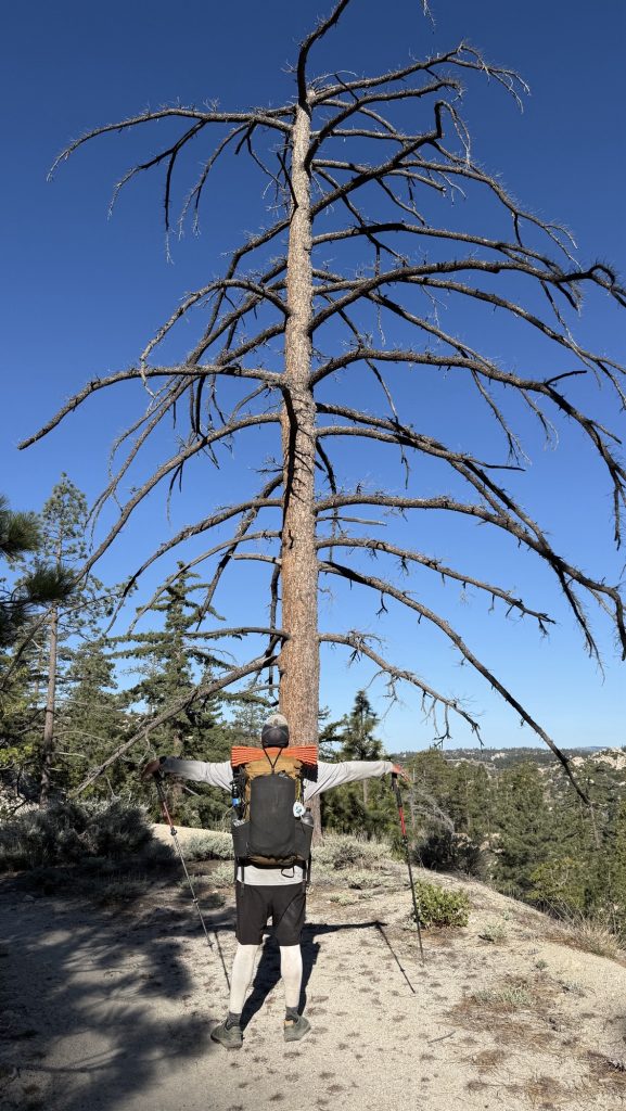
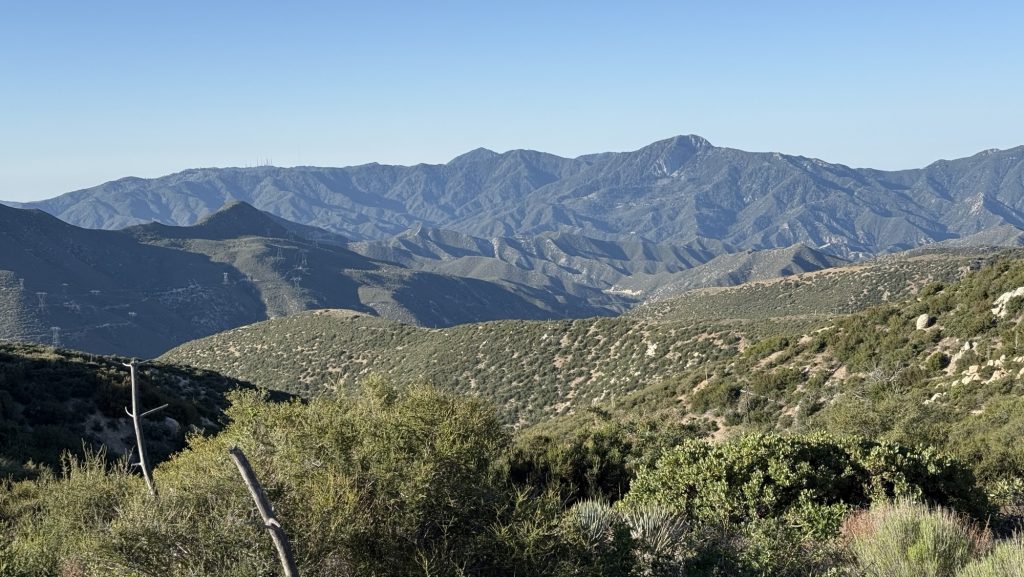
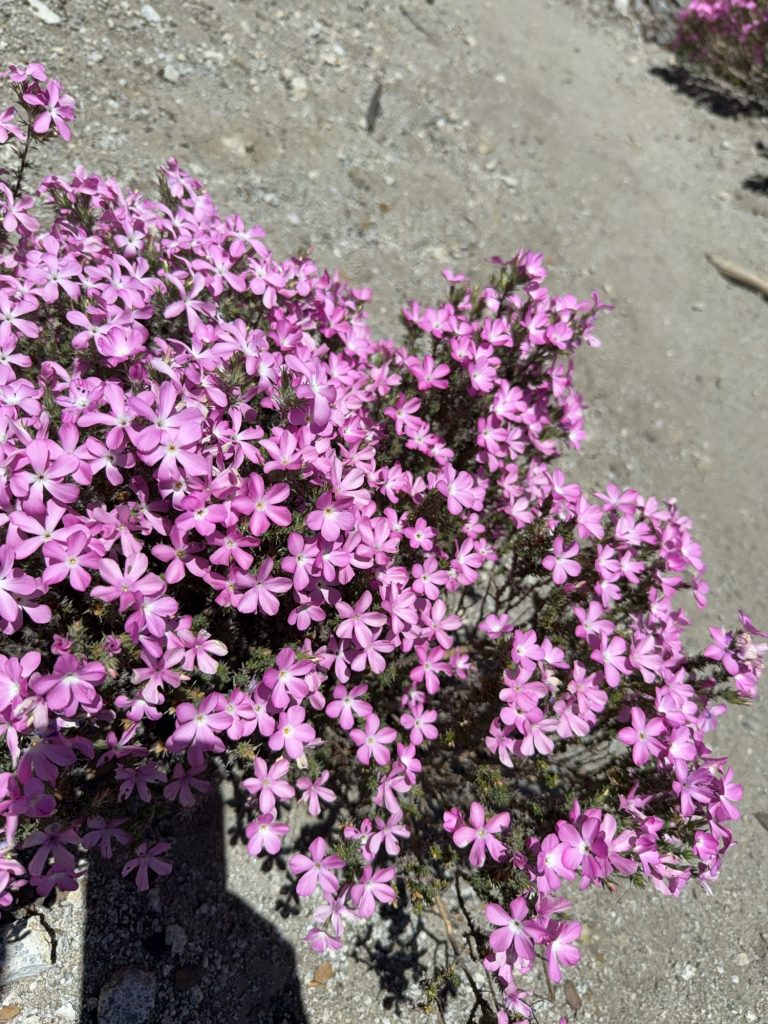
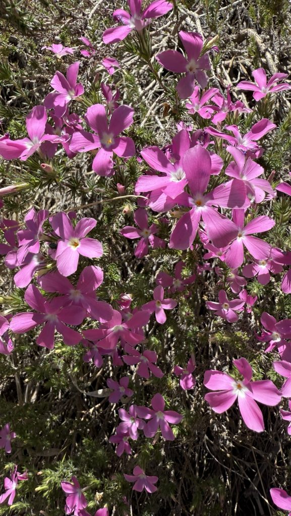
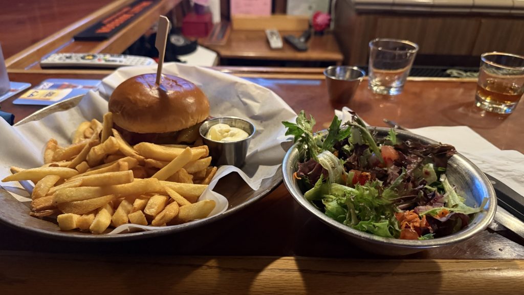
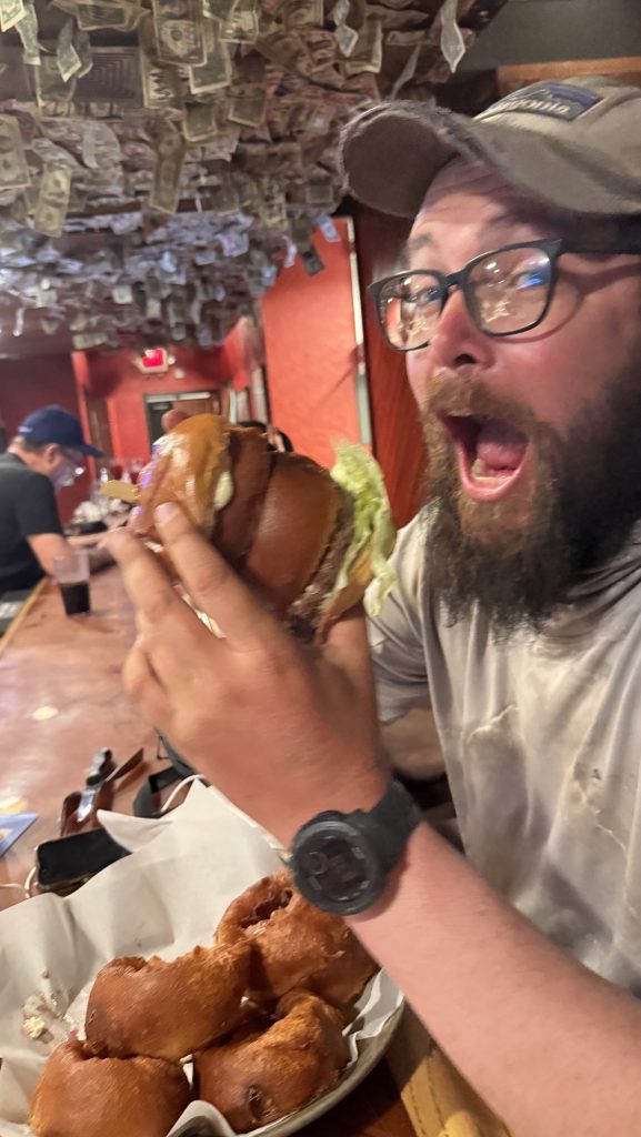
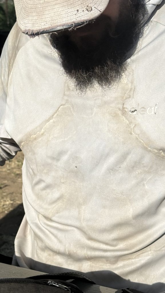
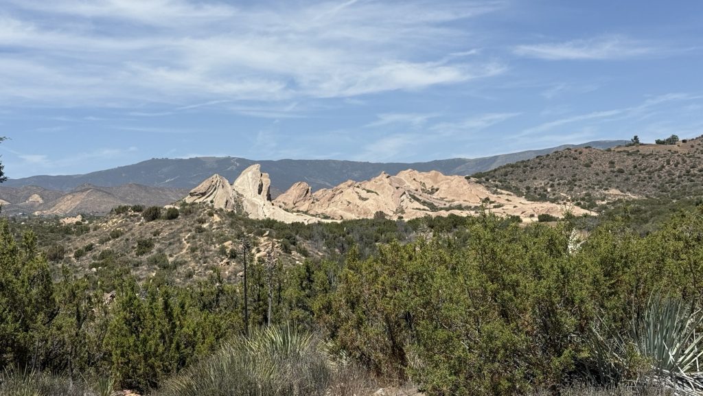
Today was my longest day yet with 24 miles over 10h of hiking and a lot of elevation. Holy shit. Beautiful white sand, pine forests and pink phlox and red flowers too. Really beautiful section. I definitely pushed myself physically. But if I want to finish the trail before snow starts falling in Washington State, I have to hike 20 miles / 30km pretty much every day from now on (except the Sierra Nevada because of elevation). We also pushed big miles today because we wanted to hitch into a town called Acton that lets hikers camp for free and has a Saloon that sells burgers. We made it.
Longest day yet!!
Stats:
Distance: 23.53 miles
Steps: 52132 ‼️
Ascend: 902m
Descend: 1939m ‼️
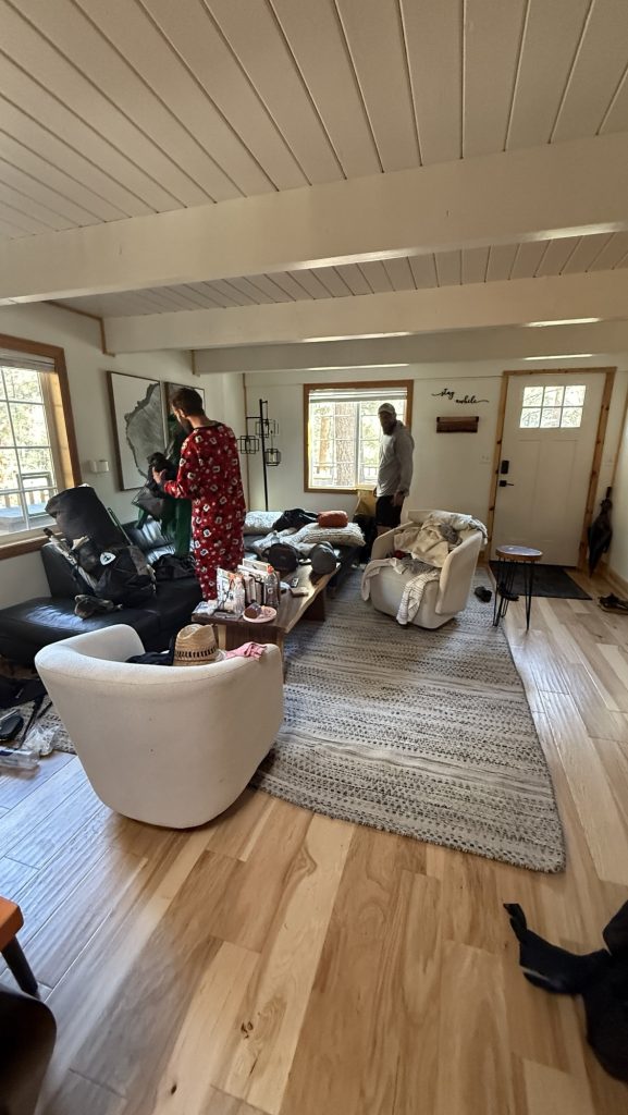
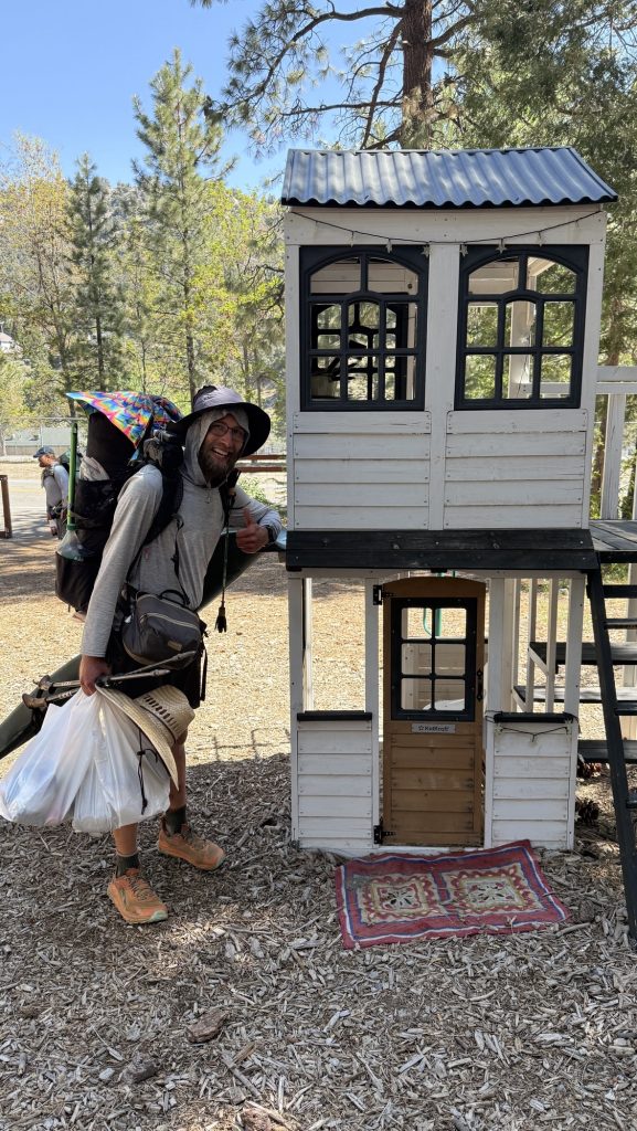
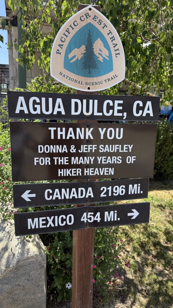
Day 36: Nero – 444.3 to 452.9 Agua Dulce
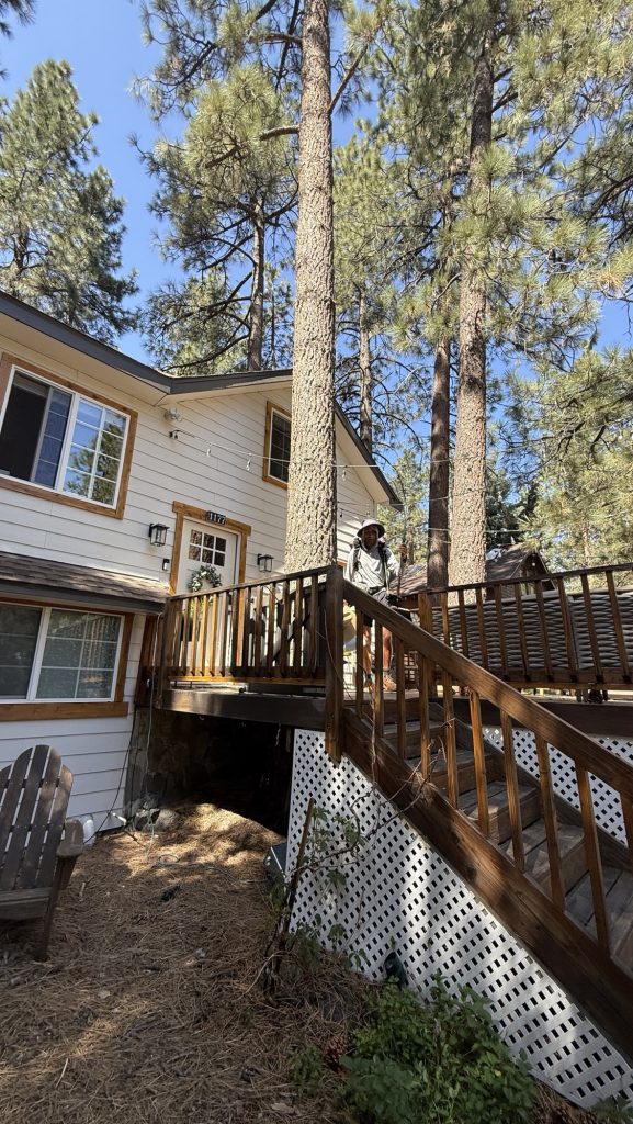
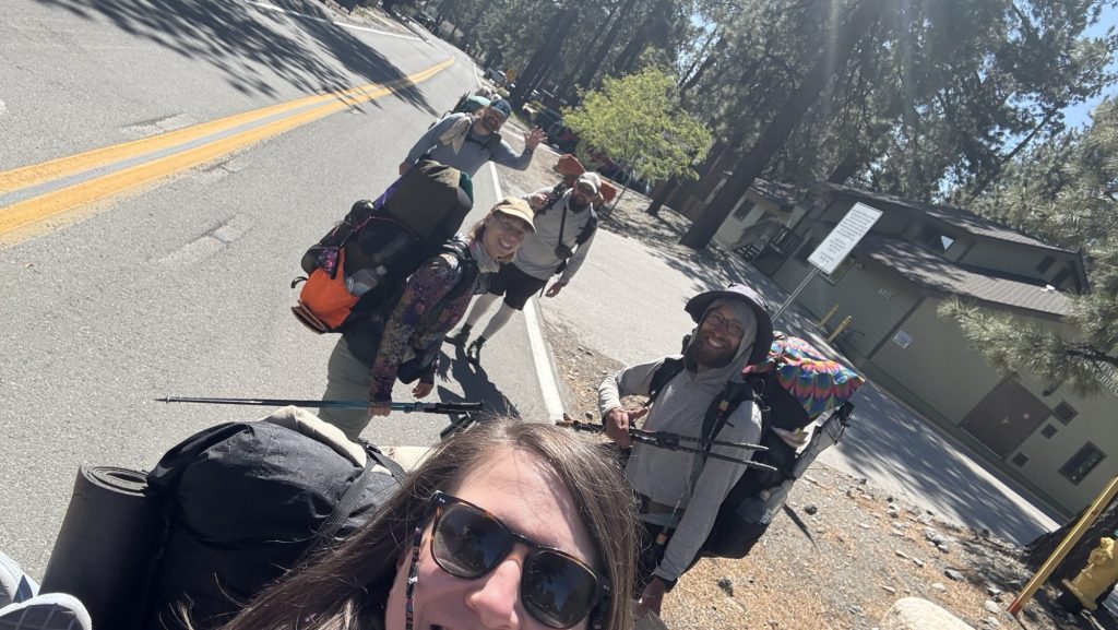
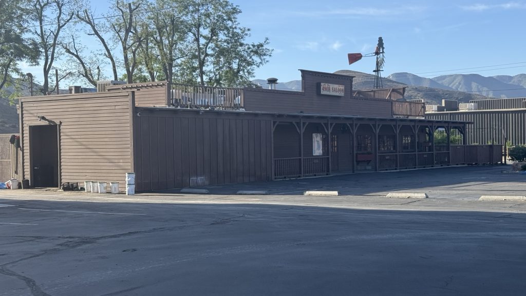
It wasn’t a calm night at 49ers because there is a loading Dock, Fire Trucks going by and a Train – plus a spot light on our tents all night 😂 but I slept ok. We got up late – around 7am and the other 15+ hikers had already left. Even Webcutter had left – I was hoping to hike with him today. I went to the store to buy coffee and muffins, and afterwards we left to hitch to the trail head and KOA RV park, where I had to retrieve a package.
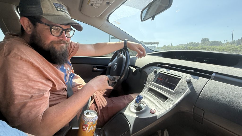
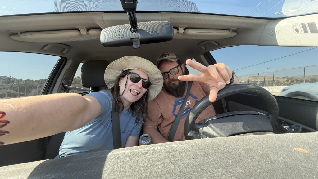
As we were standing on the only road in Acton with our thumbs out to hitch, a man next to the 49ers saloon waved us over to offer a ride. He wasn’t a fan of the saloon, and mentioned a few concerning things, like the fact that the ground we slept on and that our tents touched was sprayed with roundup, a carcinogenic anti weed chemical currently being sued in the US. 😳 Too late, our tents touched it but I guess one night won’t kill us. But if you’re a campground owner, hosting thousands of hikers a year, you shouldn’t use that stuff. I also do not know how a burger and a few drinks ended up being 75$. They don’t list drinks prices… next time I would stay at the KOA Rv park right next to the trail, with a pool and much more peace and quiet. But someone left a lot of negative reviews on FarOut about that place.. I wonder who did that?!


Stats:
Distance: 9.2 miles
Steps: 20.548
Ascend: 509m
Descend: 445m
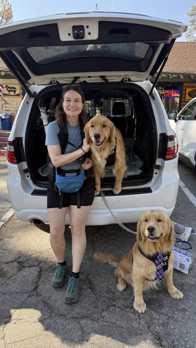
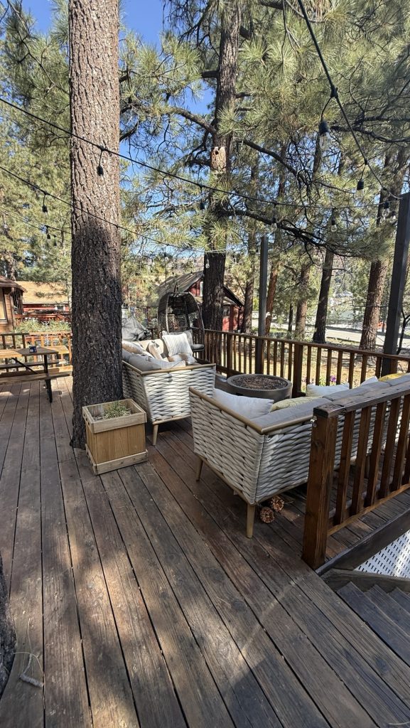
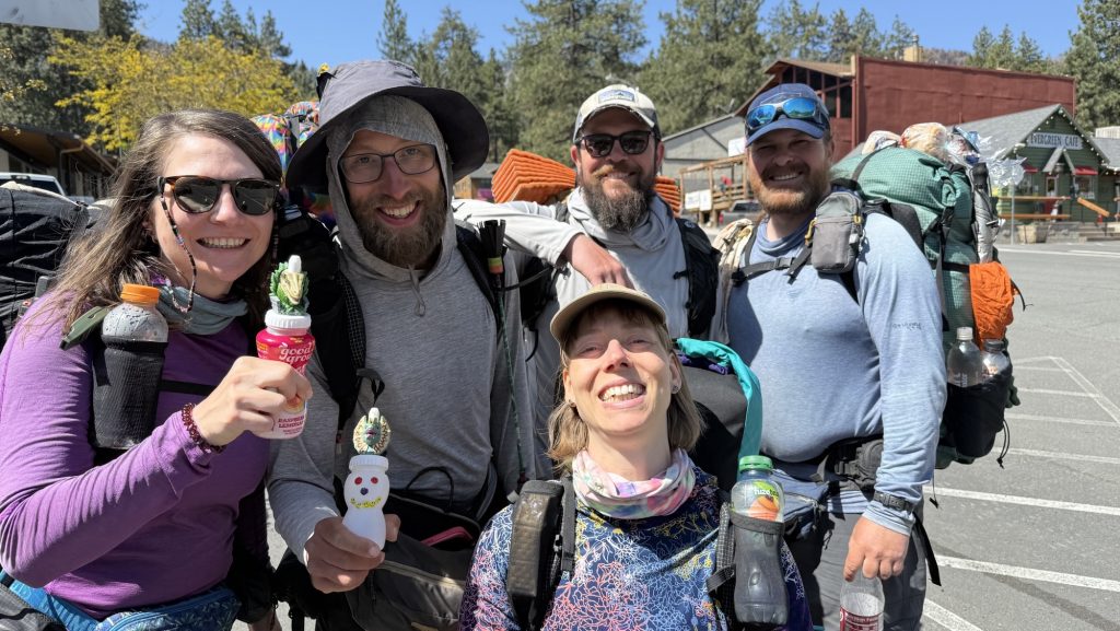
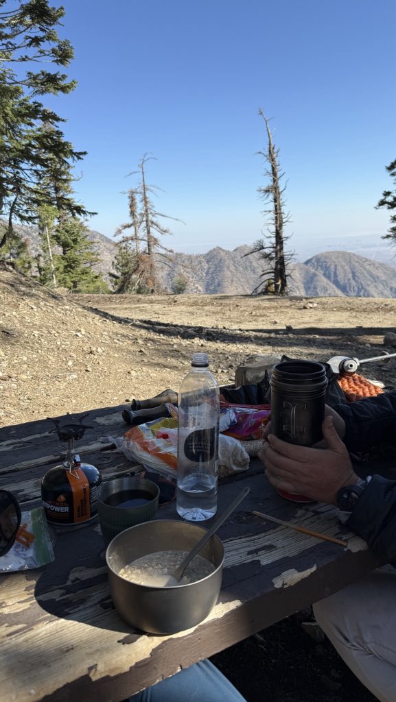
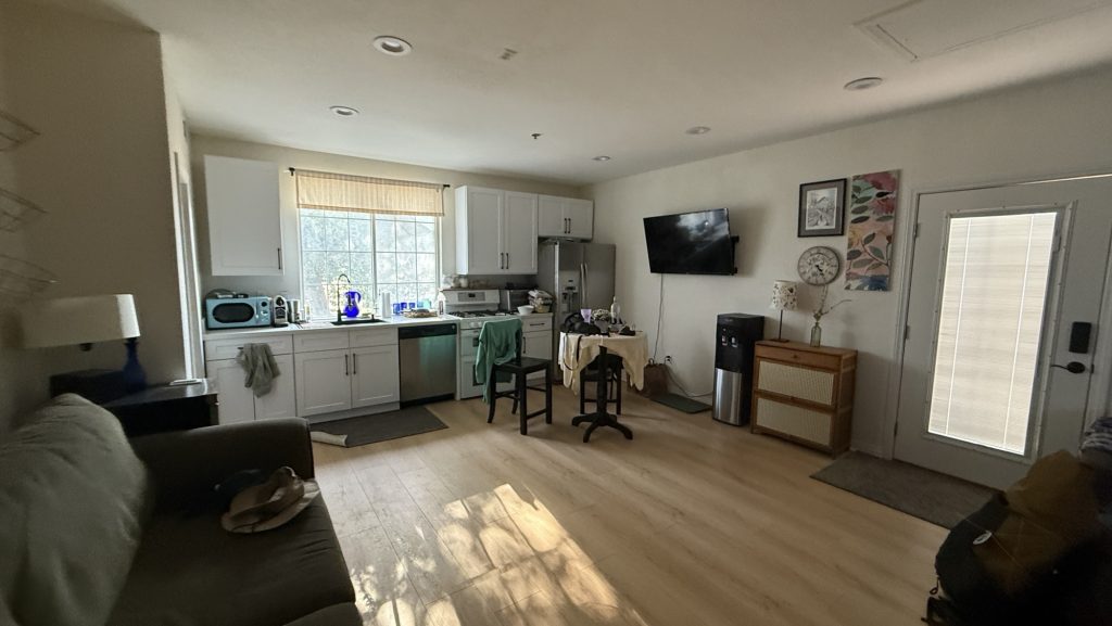
Day 37: Zero in Agua Dulce at Roni and Amy’s
I woke up with the best night of sleep 😎 almost got my garmin back to a normal HRV status but not quite. My training status is still “Strained”, like the last 6 weeks 🤪.
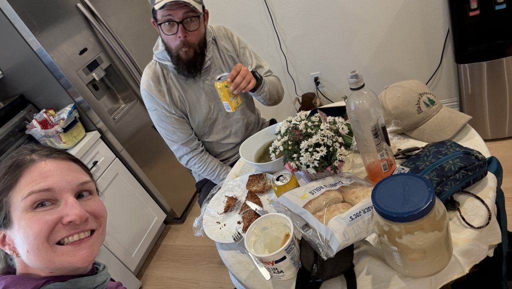
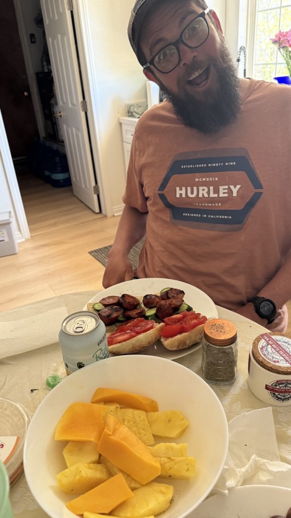
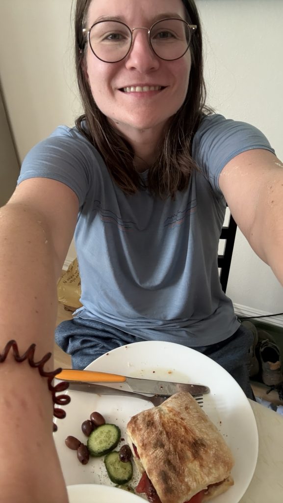
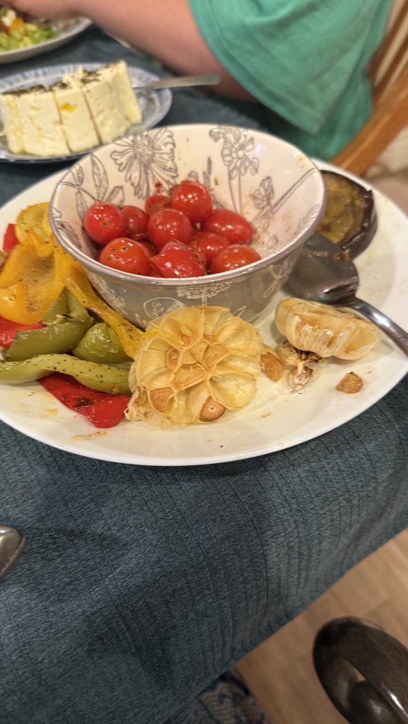
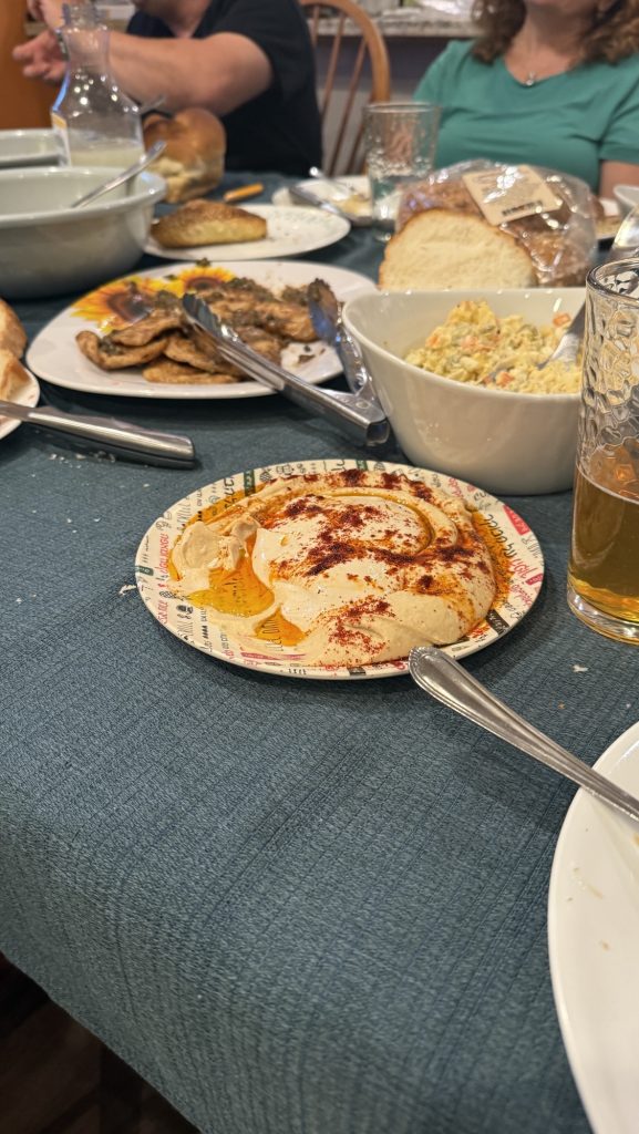
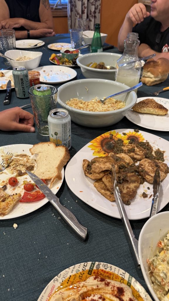
Roni made an amazing home made breakfast for us:
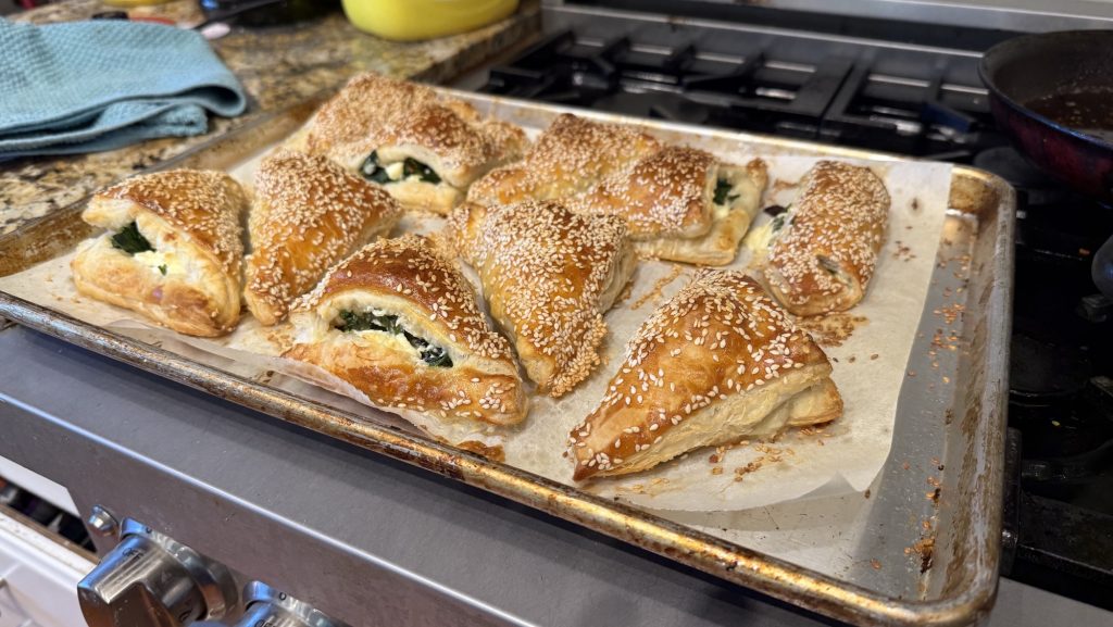
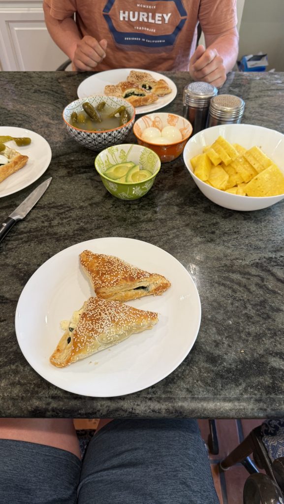
We initially only intended to stay one night but Roni and Amy were so sweet and spoiled us and so we decided to take zero here and stay another night.
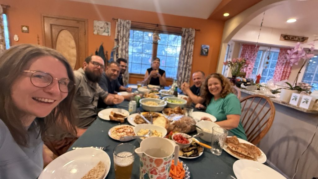
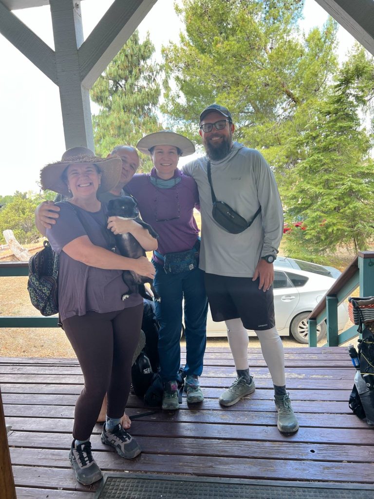
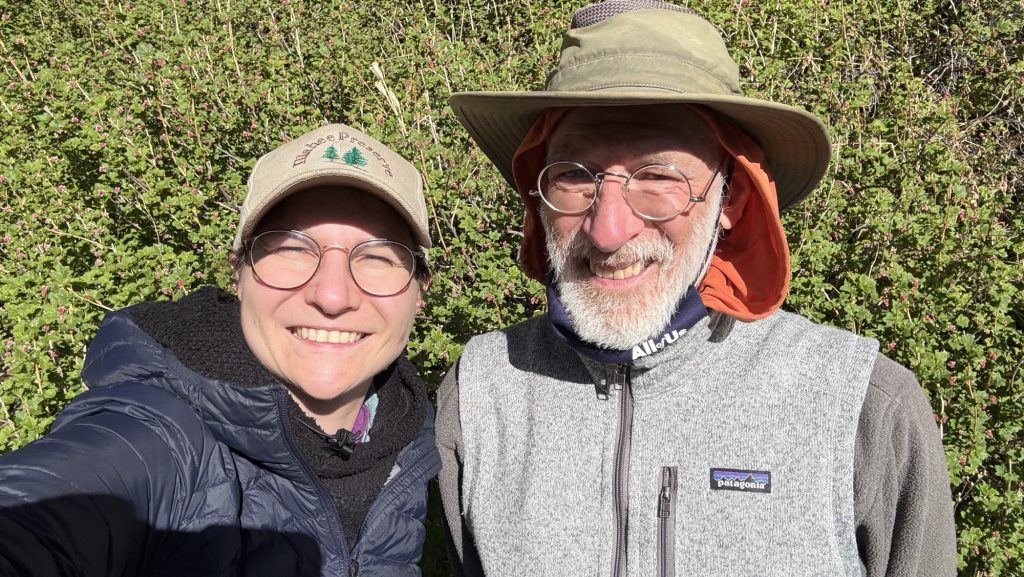
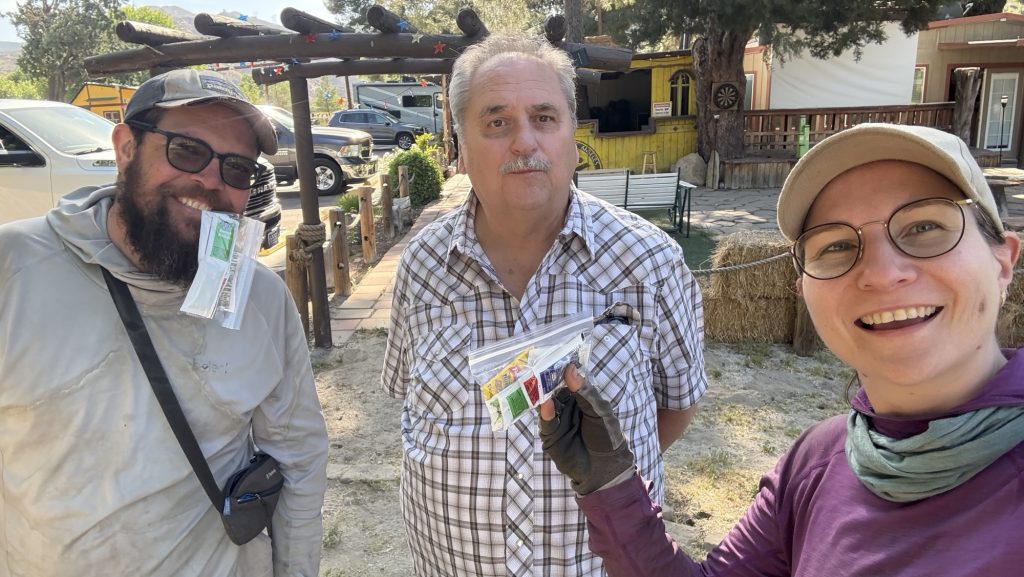
After this picture, Amy came to hike a few miles with us on the PCT and we saw Roni pass us two hours later up the trail, giving hikers a ride 😂
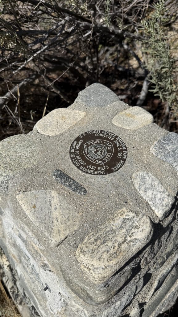
I feel truly blessed to have met Amy and Roni and getting showered in their kindness. Going back to the trail will be tough after soo much unexpected luxury and treats. 🥲 but I’m ready for the big push to Tehachapie, the next town we will hike through some 6 days from now and 110 miles away roughly. This is also the place I will send more resupply boxes from, to the Sierra Nevada and where the first FarOut map ends. So a big milestone again.
Freshly showered, clean clothes, well fed and rested, off we go into the wild Wild West again.

Days 130 – 134: Snoqualmie to mile 2501.3 (2396.3 – 2501.3)
Read Article
Day 100: Deer Lake mile 1791.9 (18 miles)
Read Article