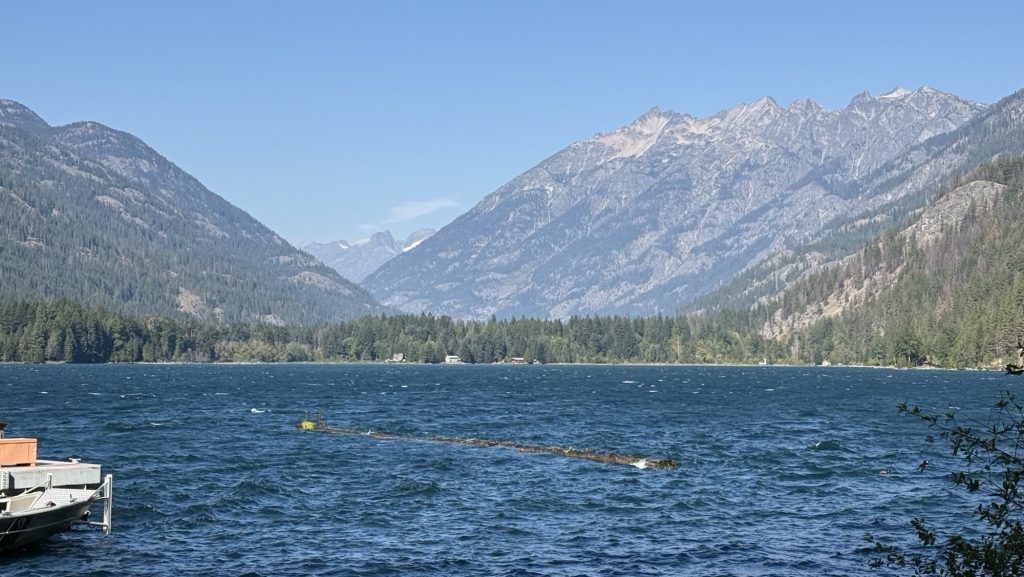
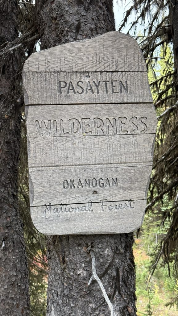
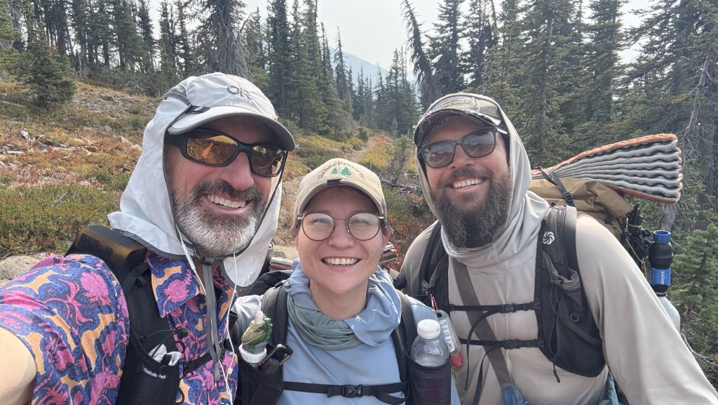
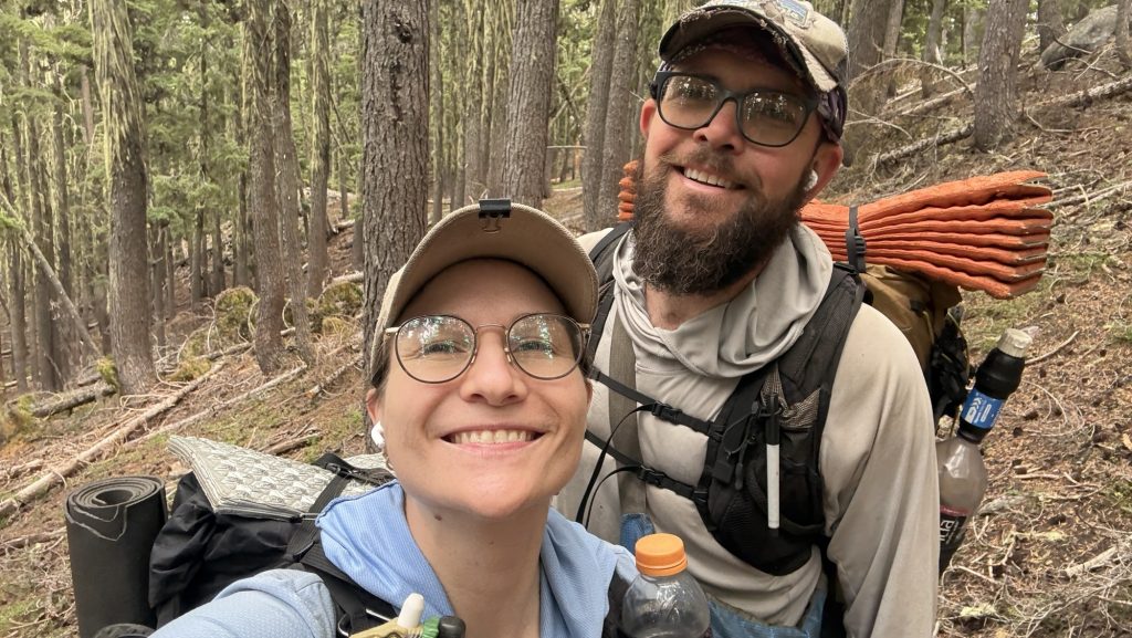
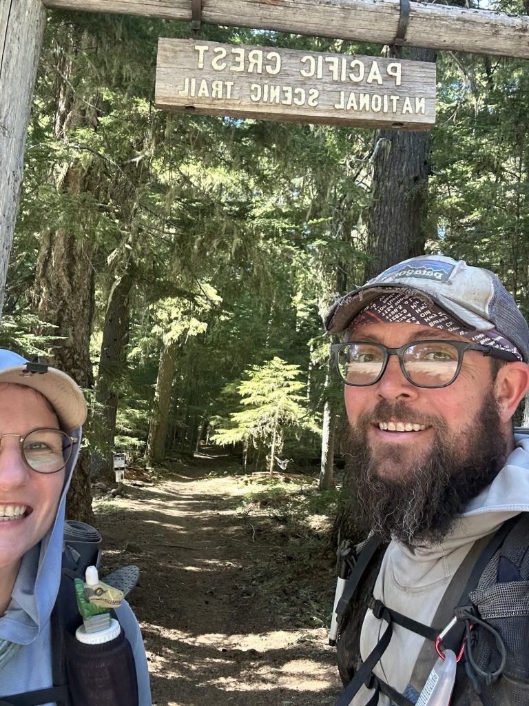
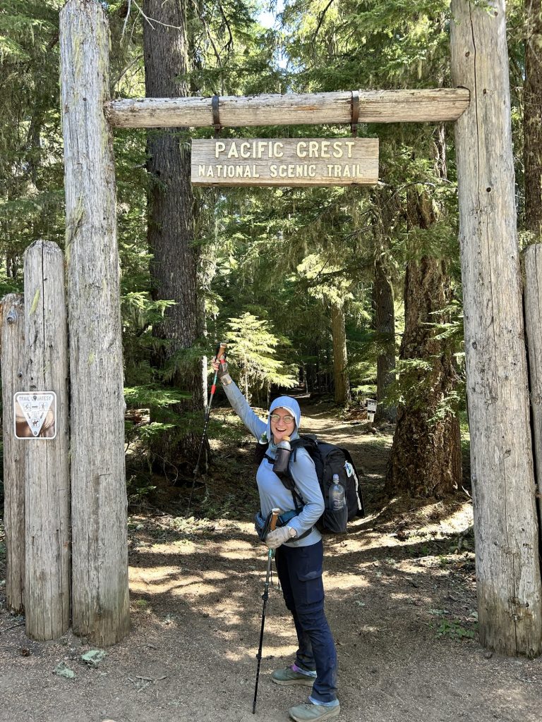
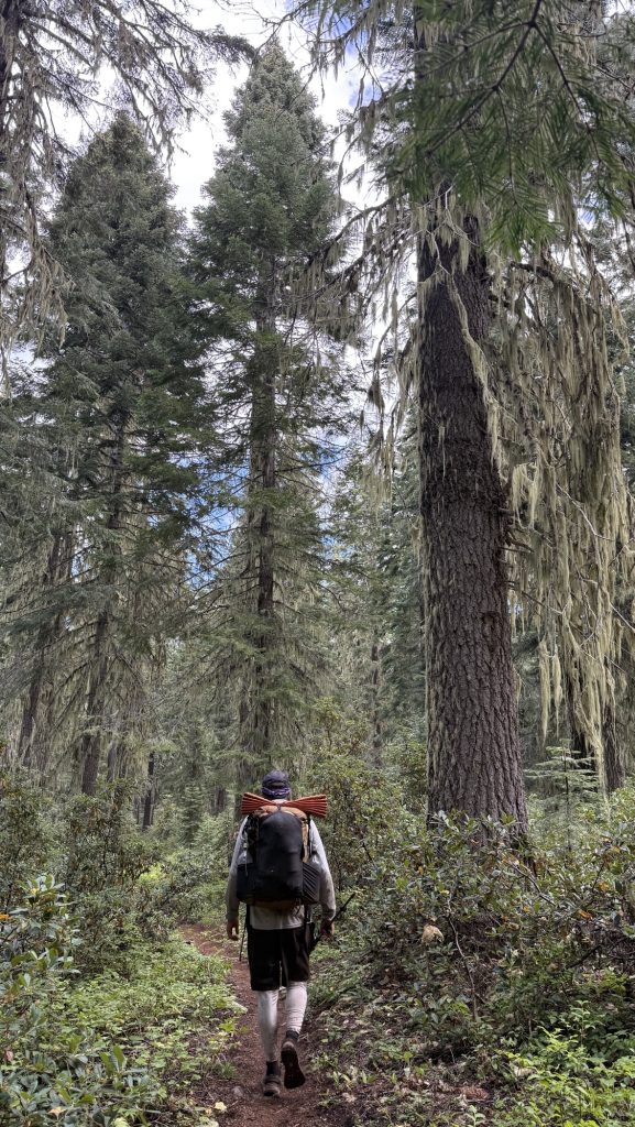
Days 138 – 142: Canada!! (2575.1 – 2655.5 + 30)
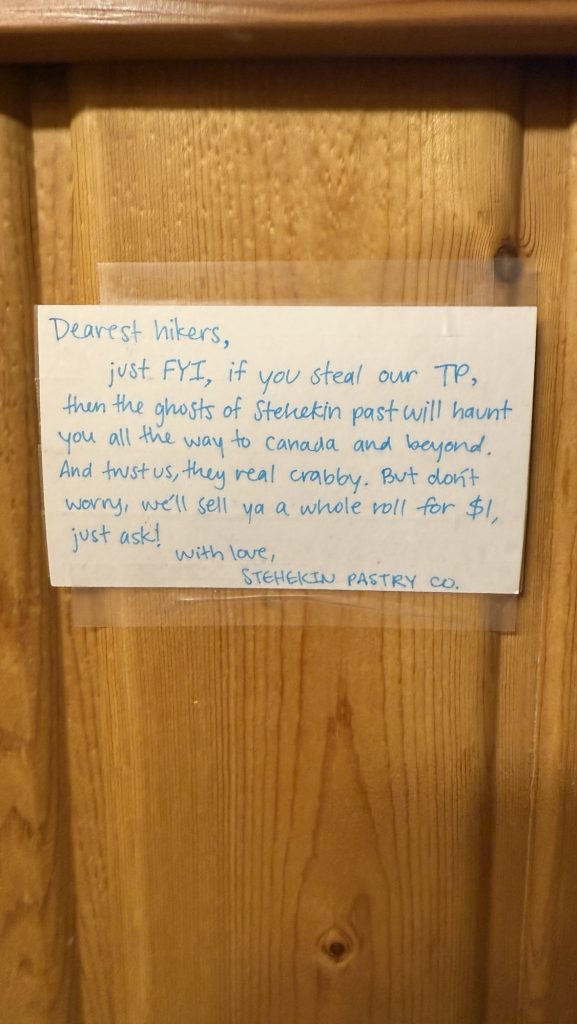
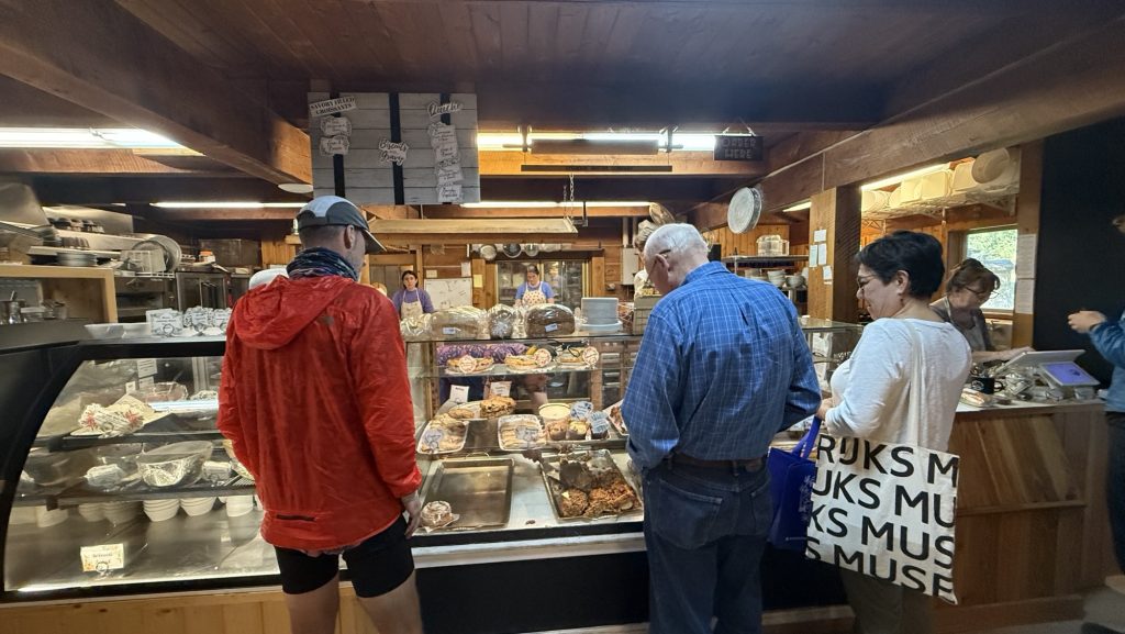
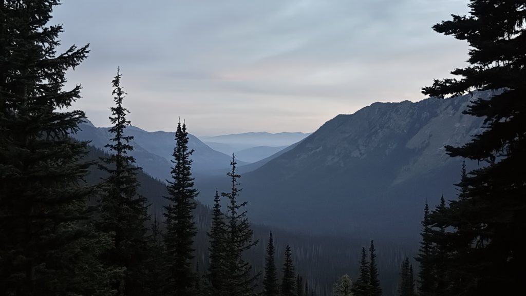
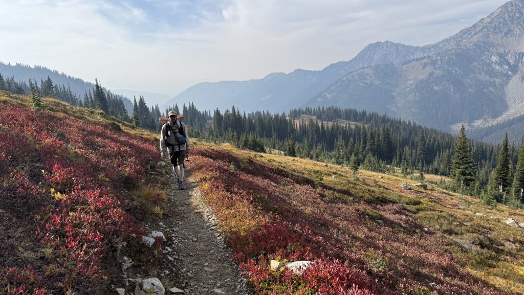
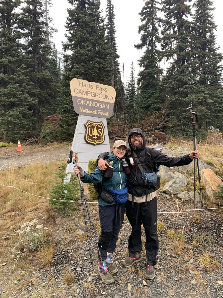
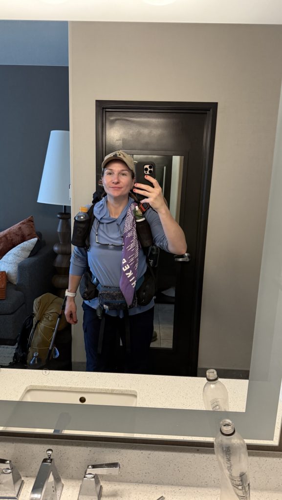
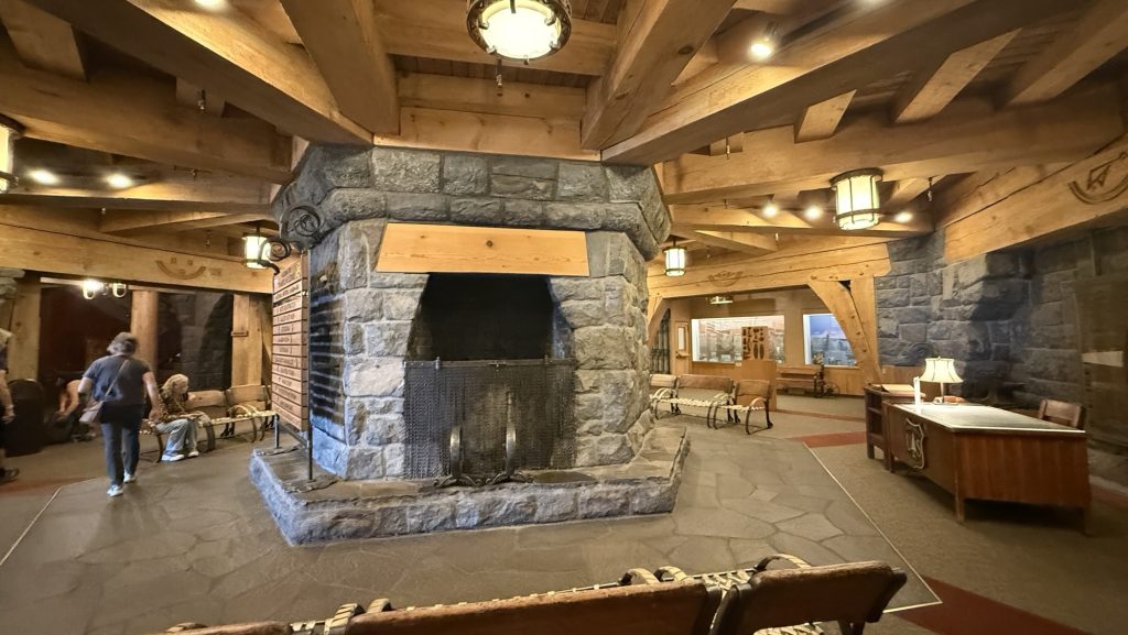
Day 138: Stehekin Valley Ranch – Last Resupply Before the Final Stretch (PCT Mile 2588.5)
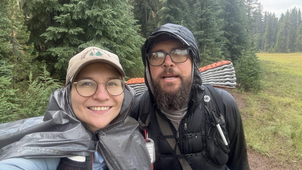
I woke up at 6:00 a.m. without my alarm — nature’s way of reminding me I’m still human, I guess. Unfortunately, I also woke up with the unmistakable signs of a Urinary Tract Infection. Not surprising after months on trail, but it’s a bit alarming when you’re in one of the most remote corners of Washington. I couldn’t help but wonder — can I even find medicine out here in Stehekin?
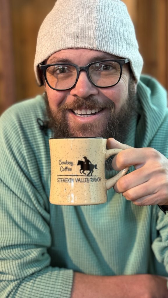
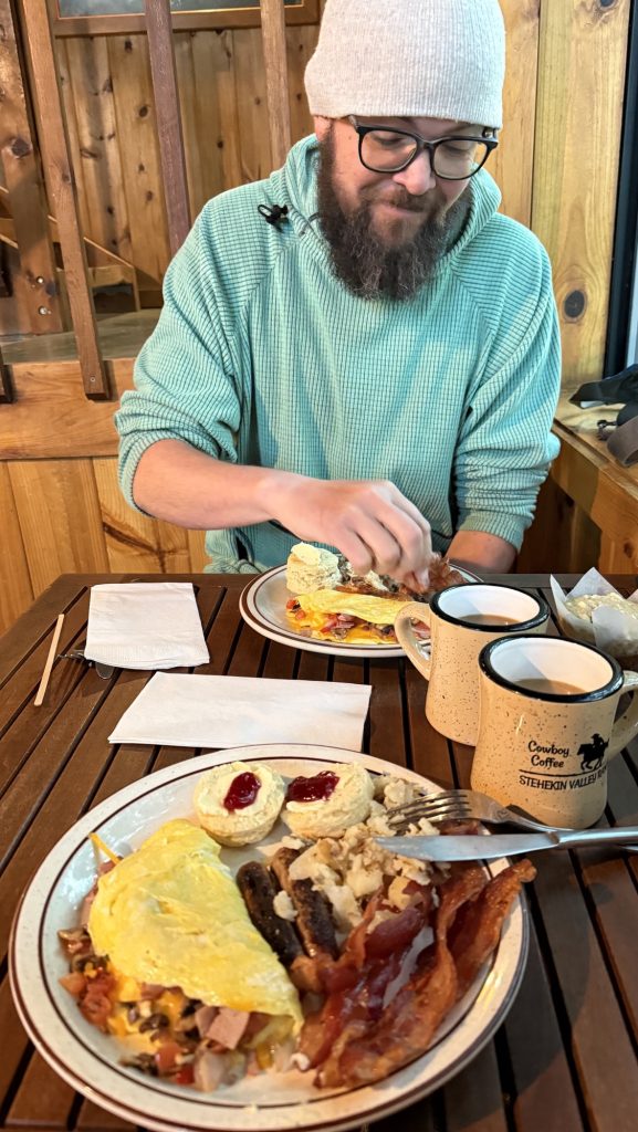
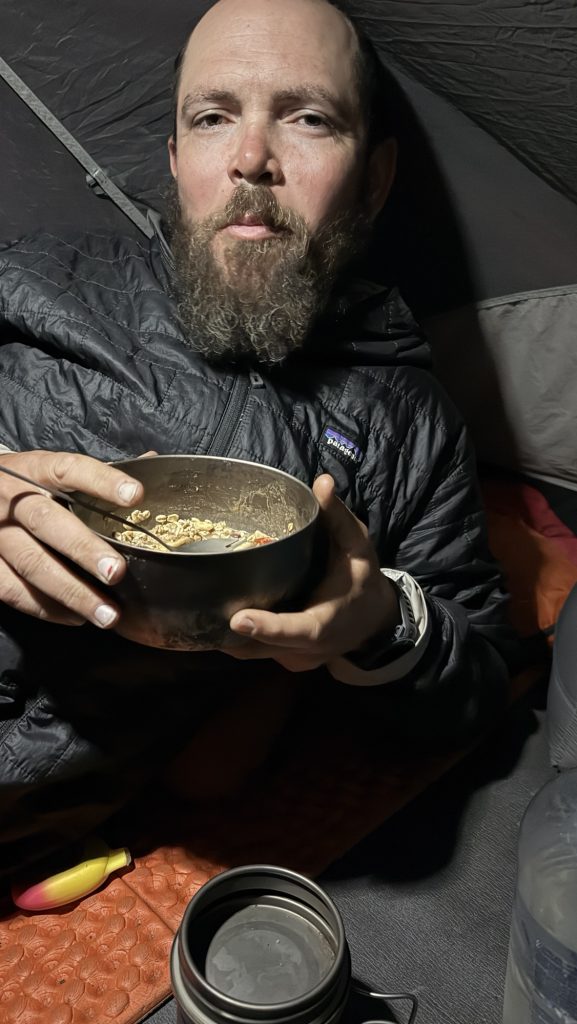
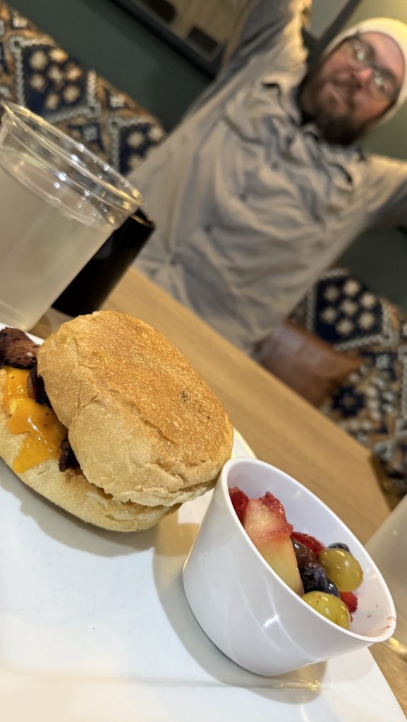
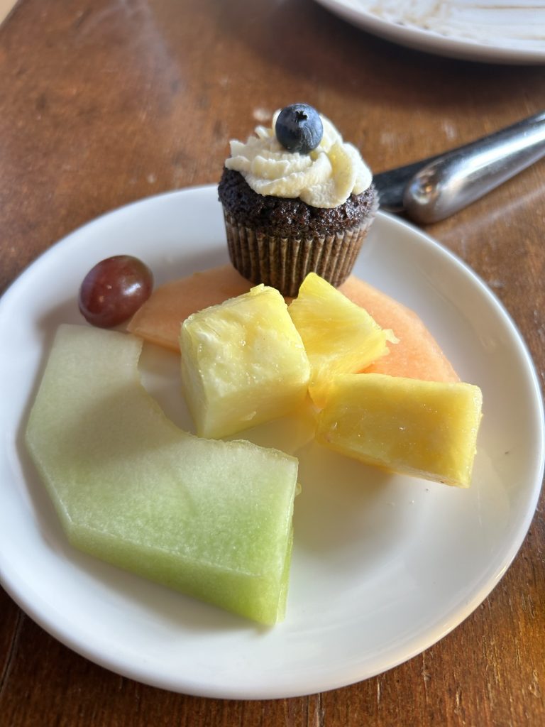
Iceman slept in until 7:15, and by then I was more than ready for breakfast. The big kitchen cabin at Stehekin Valley Ranch served up a hiker’s dream: crispy bacon, a full omelette, and a sandwich bar that doubled as our lunch prep station. We packed hefty sandwiches and snacks, knowing it would be a long day ahead.
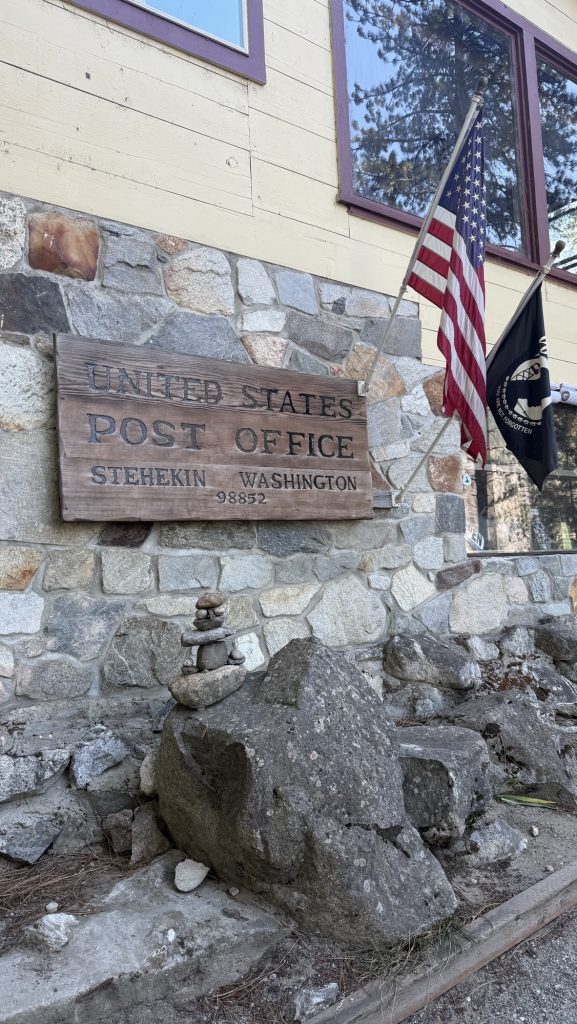
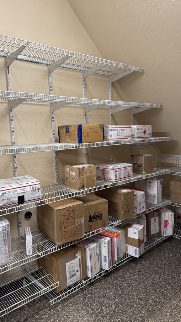
After breakfast, we plugged in every electronic device we owned — batteries might not be essential for survival, but out here, they’re close. Once everything was fully charged, we caught the iconic blue bus to Stehekin Landing to fetch our final resupply box. It hit me then: this was the last box of the journey. The last taste of home-packed supplies before the finish line.
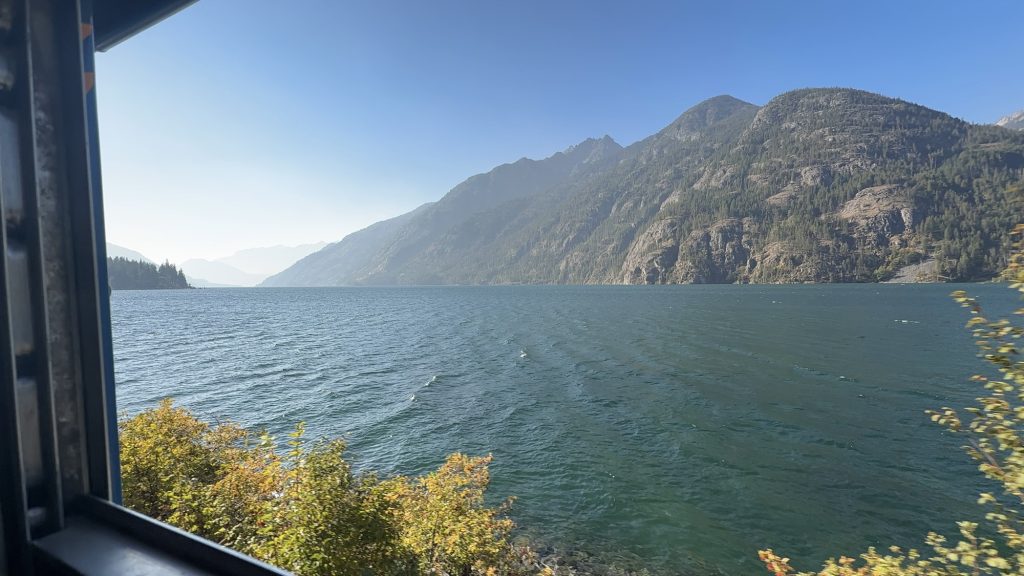
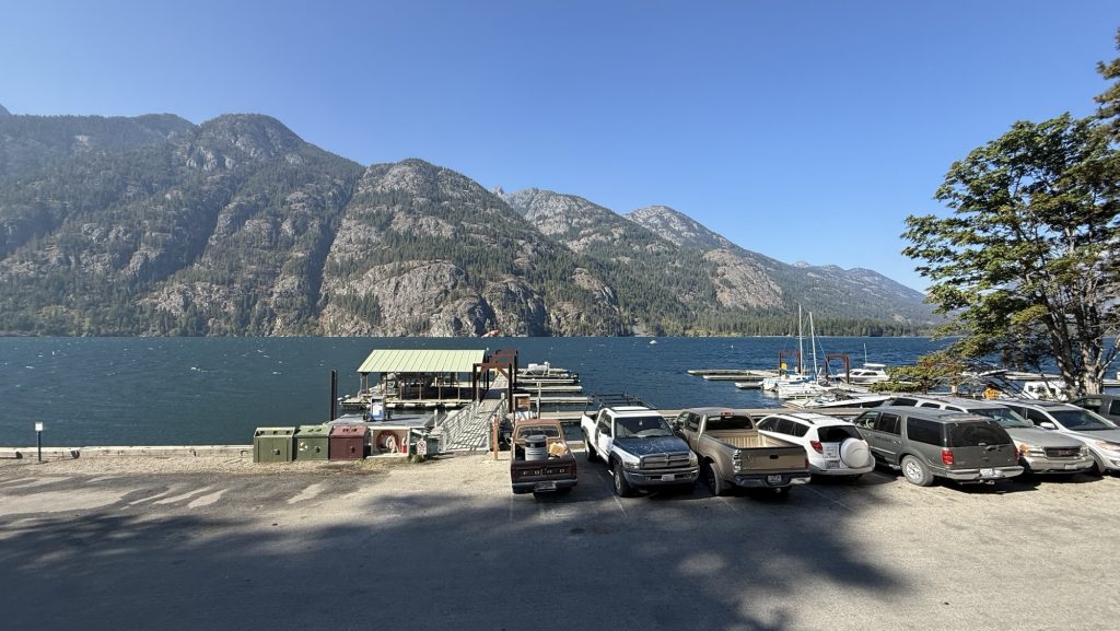
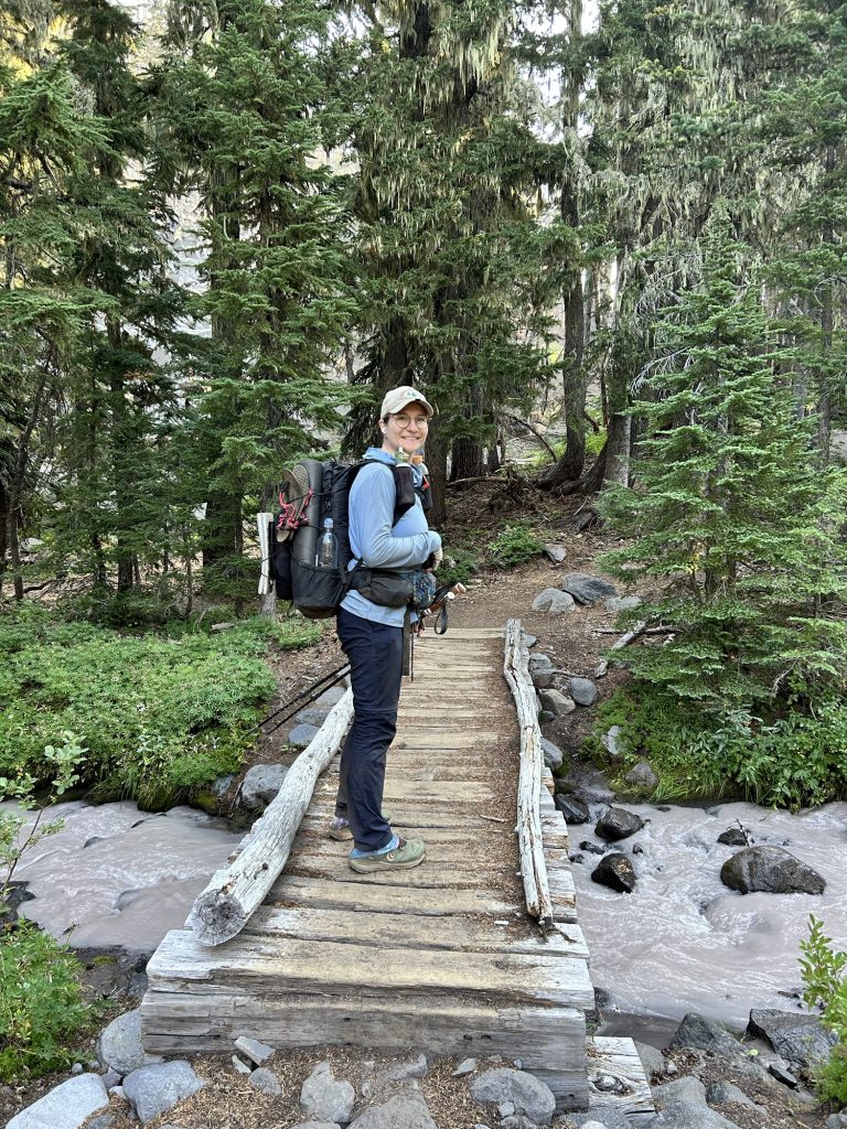
We squeezed in laundry before heading back, clothes draped over our packs and the bus railing to dry in the mountain breeze. Lunch was devoured during the ride — a picnic on wheels as we bounced our way back toward the trailhead. At 1:30 p.m., we shouldered our freshly replenished packs and stepped back onto the Pacific Crest Trail.
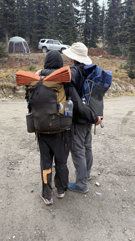
Almost immediately, exhaustion hit me. My legs felt heavy, and my body refused to find a rhythm. Symptoms of a UTI? I eventually gave Iceman some of my gear to lighten my pack, grateful (again) for a partner who doesn’t hesitate to help. The effort was worth it, though — by 7:00 p.m., we had covered 14 miles, climbing 3,399 feet and descending 1,597. My watch later logged 34,662 steps.
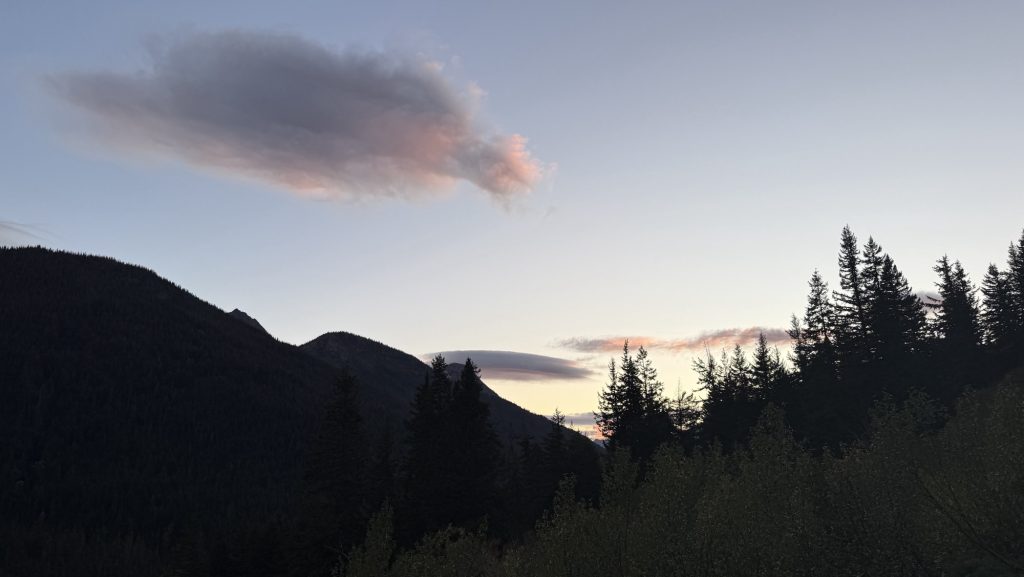
As twilight settled over the forest, I felt a strange mix of fatigue and fulfillment. The last resupply is more than just logistics — it’s a milestone, a turning point. Ahead lies the final stretch of the PCT, and though my body’s fraying at the edges, my spirit’s holding strong. Stehekin’s calm valley faded behind us, and the mountains ahead whispered one message: almost at the end. 🥲
Miles hiked: 14.01
Ascent: 3399 ft
Descent: 1597 ft
Steps: 34662
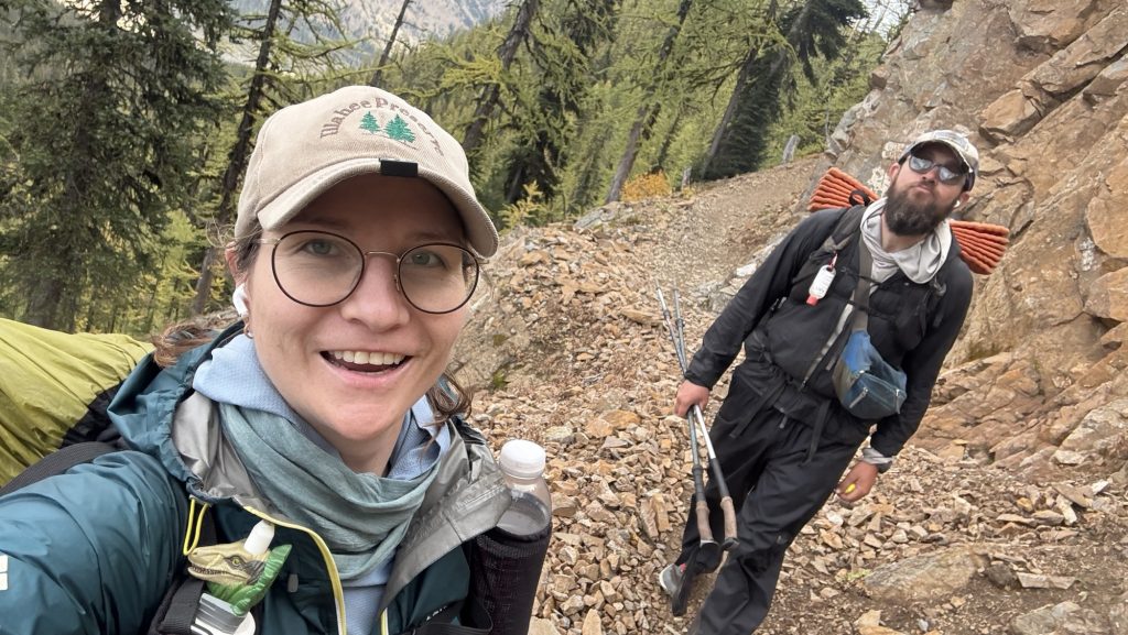
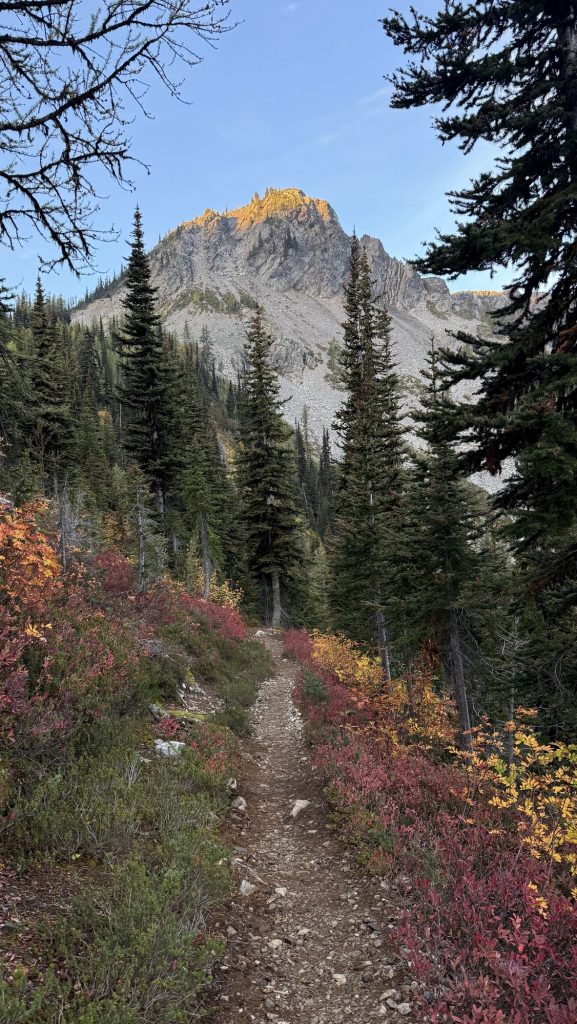
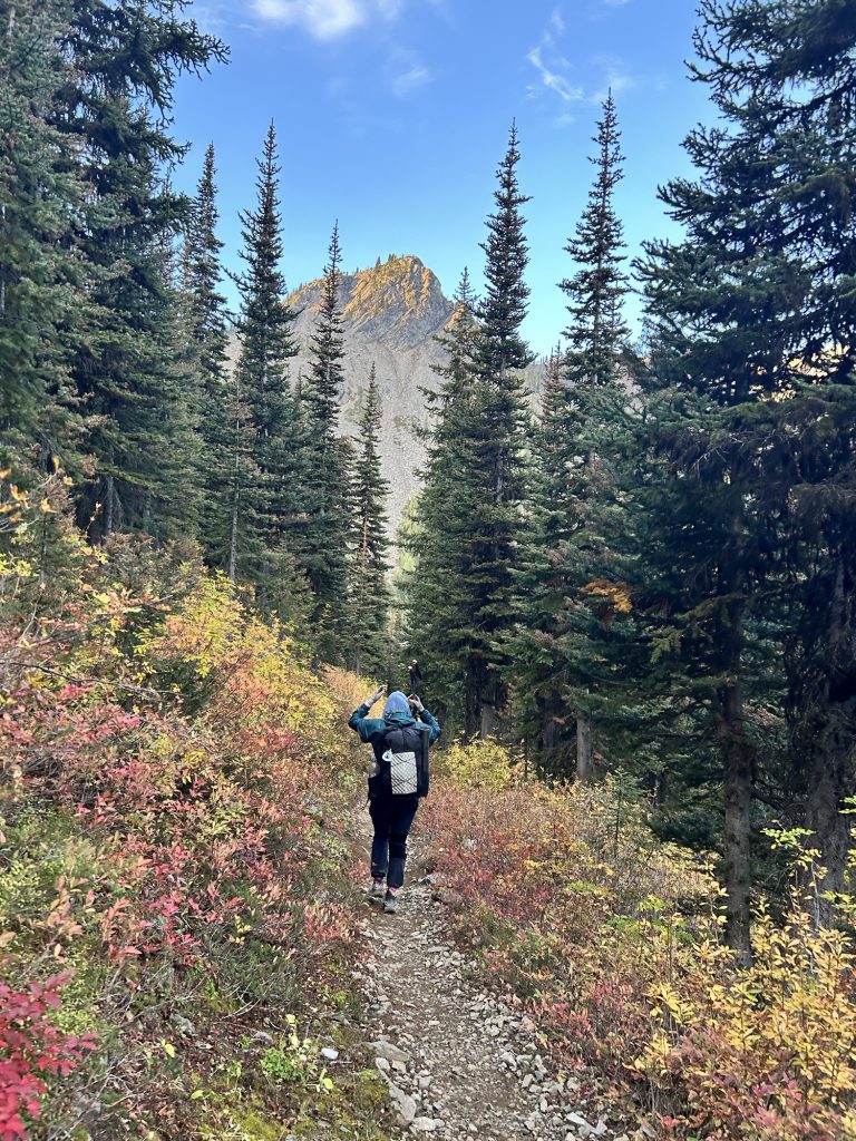
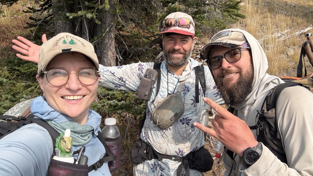
Day 139: Winthrop Detour, Trail Pain, and a 22-Mile Push (PCT Mile 2609.7)
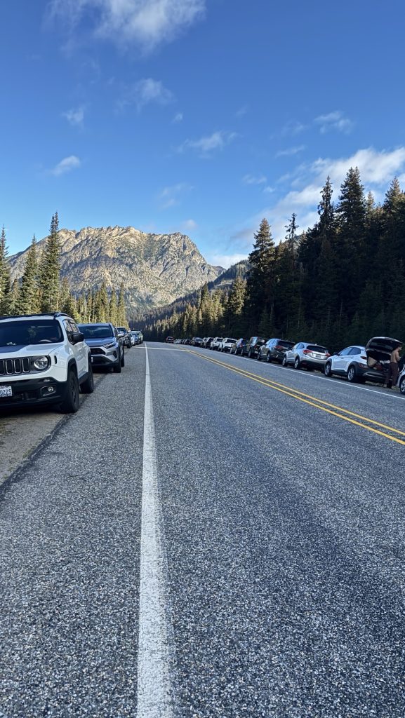
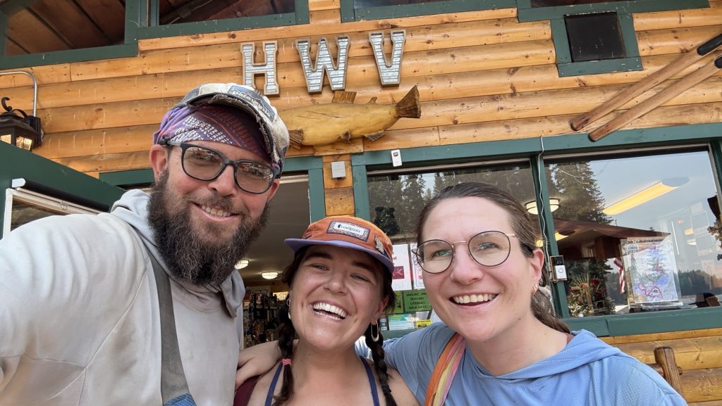
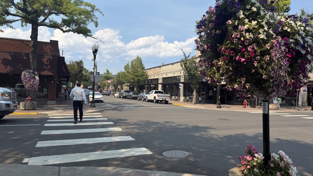
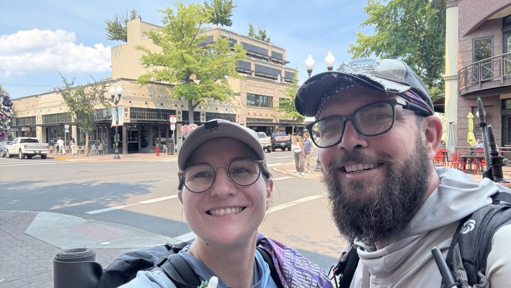
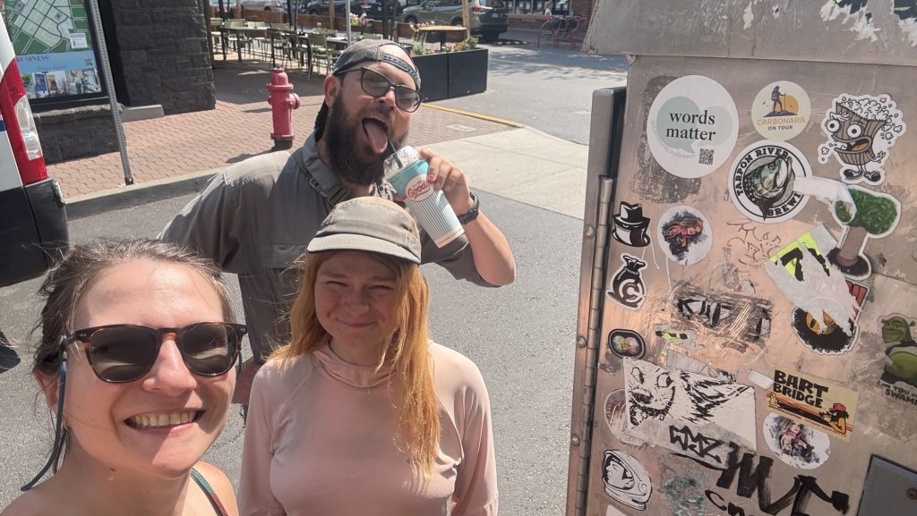
We were back on trail early, starting our hike at 7:00 a.m. under a cool, overcast sky. It was supposed to be a steady climbing day, but things rarely go as planned out here. By 9:30, we had caught a ride into Winthrop with Doug — an unexpected side trip that turned into one of the best little adventures of the trail.
Winthrop turned out to be an incredible town — rustic, welcoming, and full of life, with its old Western storefronts and friendly locals. The main goal, though, was medical: I needed to figure out what was going on with some uncomfortable symptoms that had been creeping up. The folks at Confluence clinic treated me right away, and thankfully, the result came back negative — no white blood cells, no infection. It was a relief just to rule out anything serious. Iceman’s legend Brother in law, Mike, an MD from Baltimore was incredibly supportive, talking me through the result and confirming that I was indeed fine.
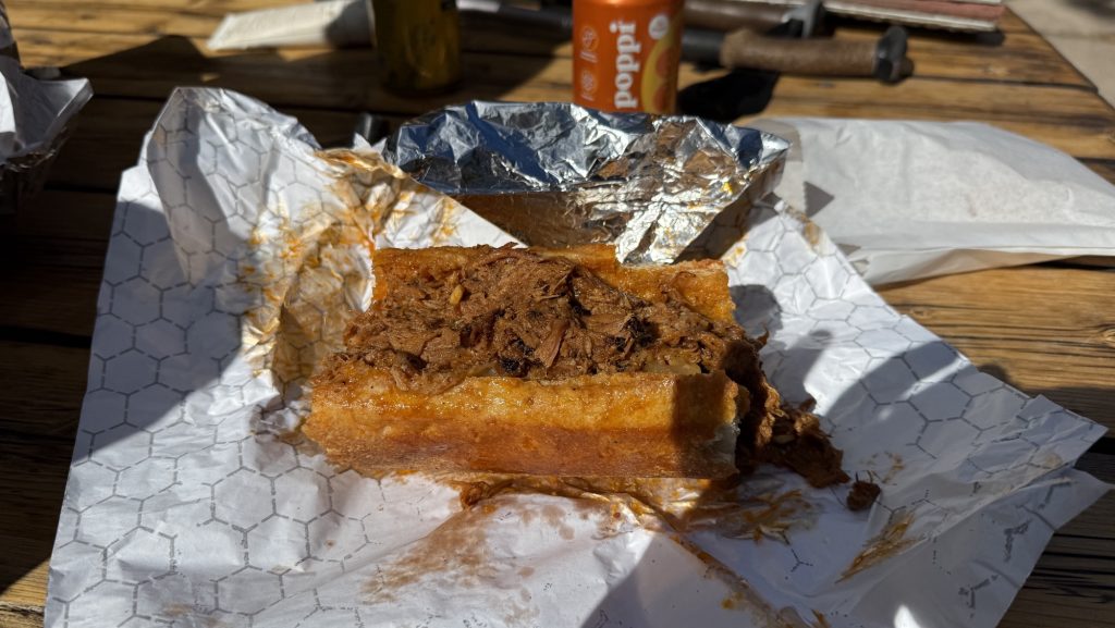
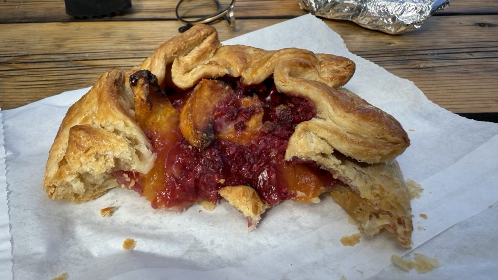
After that, we hitched a ride to the Mazama Store with Gary and refueled properly — an incredible pulled pork sandwich that instantly lifted our spirits and energy. Few meals on trail compare to that one. Fully recharged, we caught another ride back to the trailhead with an ex-lawyer whose trail stories and wisdom kept us smiling the whole way.
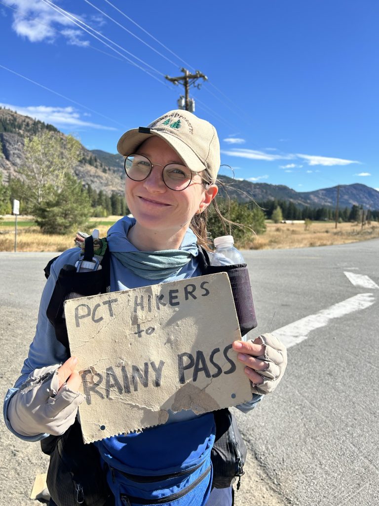
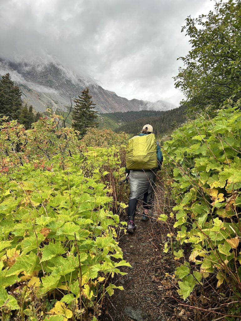
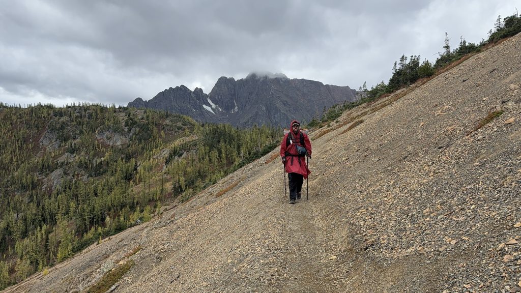
We started hiking again at 1:30 p.m., determined to make up for the morning detour. Despite the late start and the side quest into town, we crushed 22 miles by the time night fell. The trail wound through quiet forest and open slopes, and even though our bodies complained, our momentum carried us forward. By sunset, though, we were feeling every step — a strong pain in my tailbone had grown worse through the day, tender to the touch and marked by sharp pain every time I moved. Whatever it is, it made hiking painful, and I had to rely on ibuprofen just to push through.
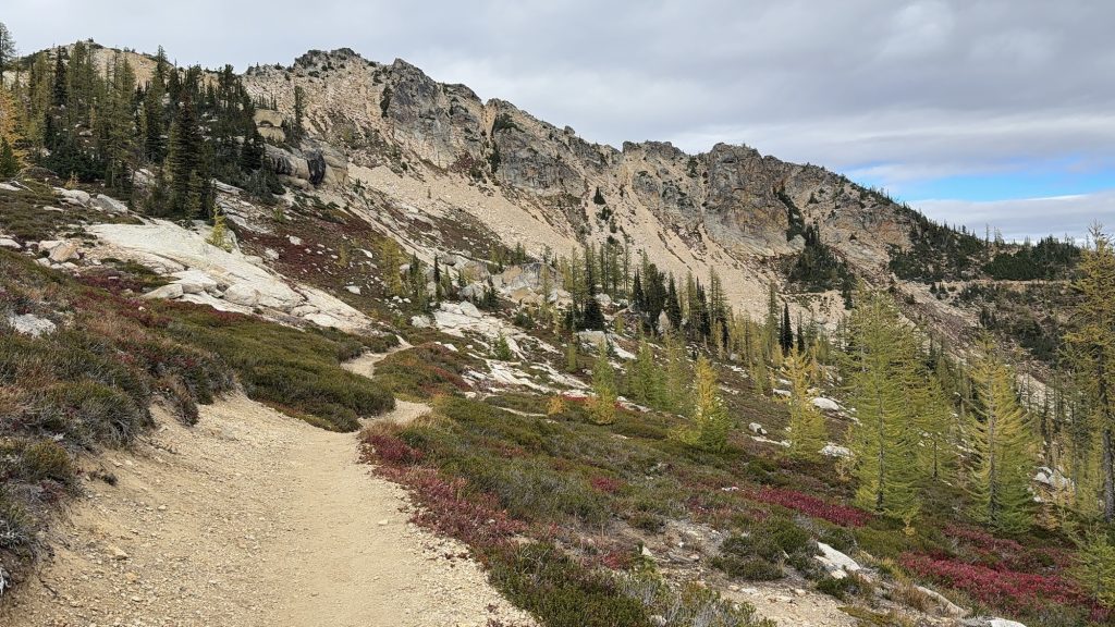
Only three long days remain: two around twenty-seven miles and a final twenty-one to reach the northern terminus. The pain is real, but so is the motivation. With every mile now, we can feel the end drawing closer, the promise of Canada just ahead. Scary. I don’t know if I want this adventure to be over. But we have a deadline to reach!!
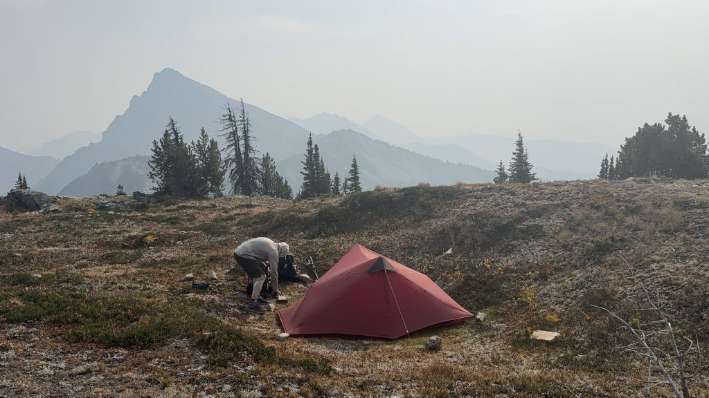
Day 140 – PCT Mile 2632.2
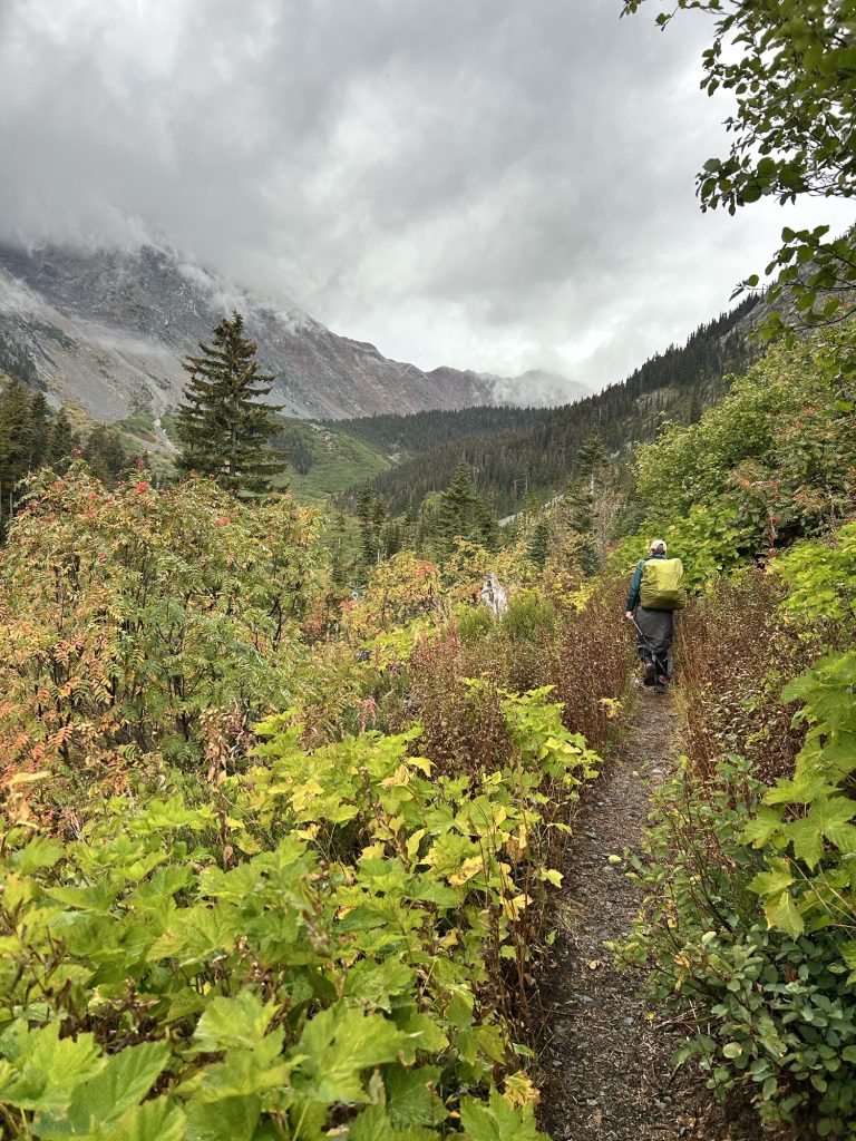
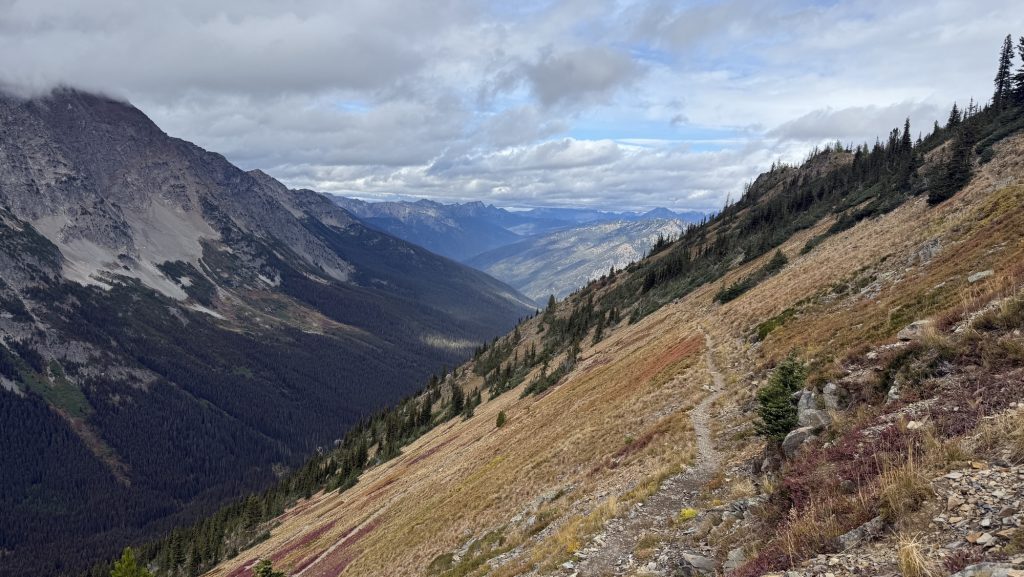
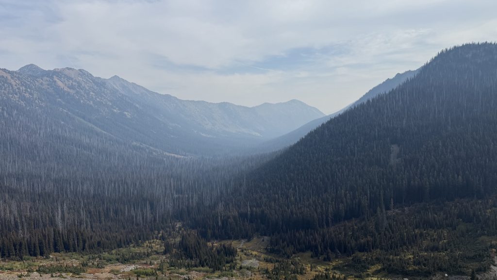
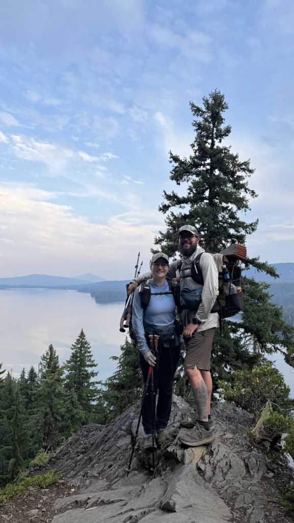
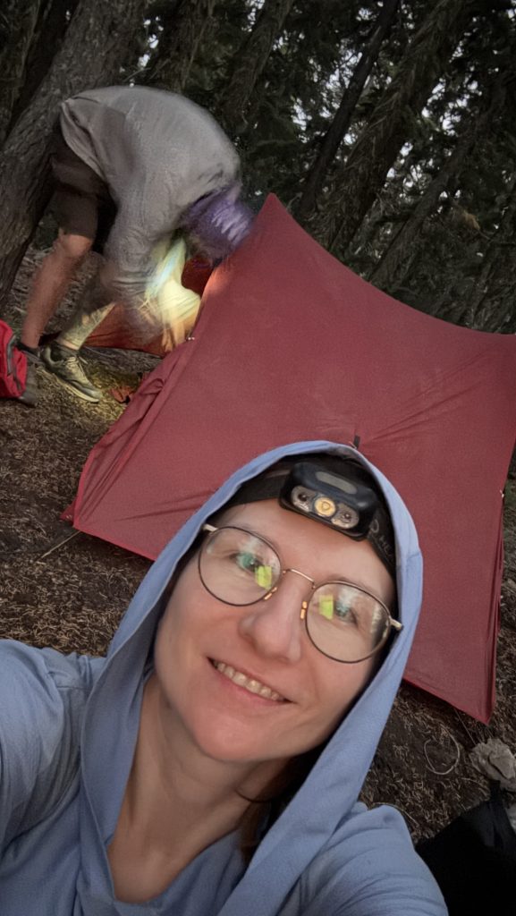
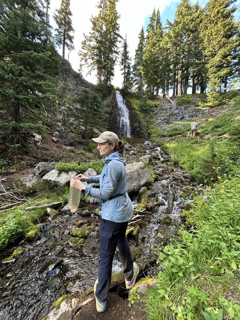
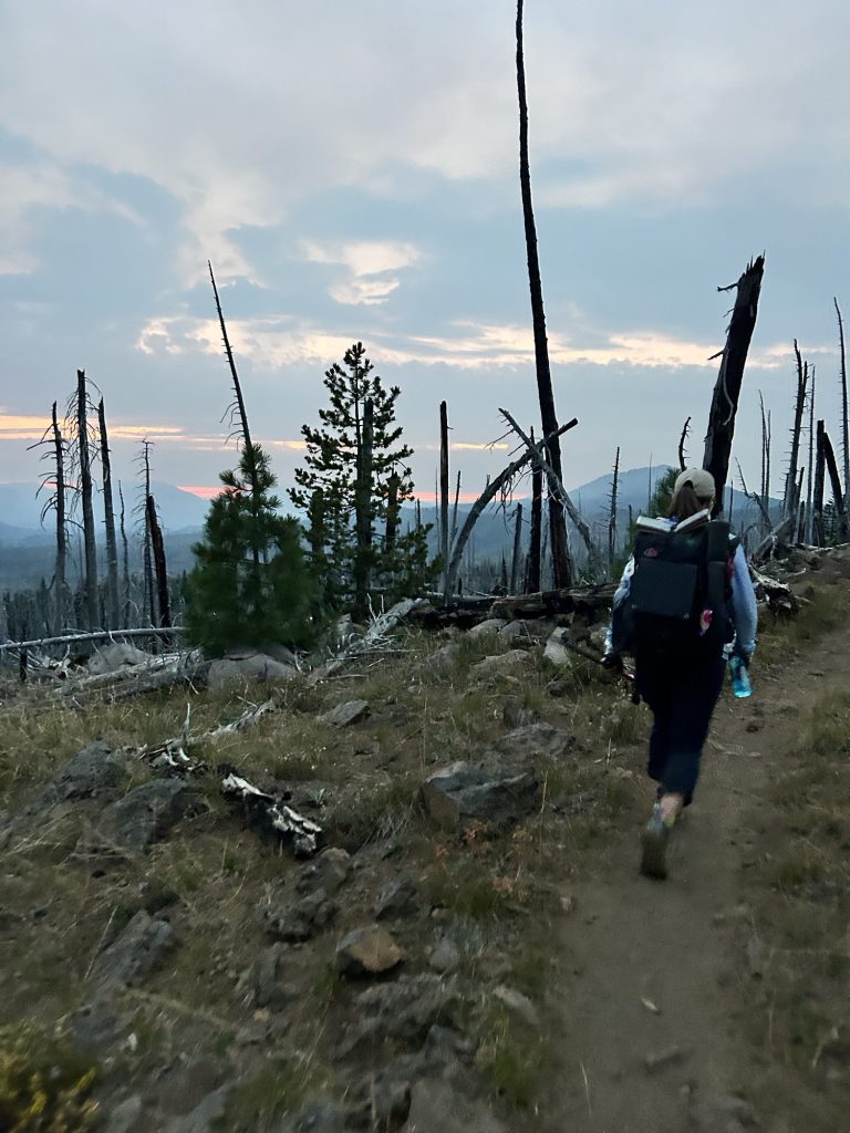
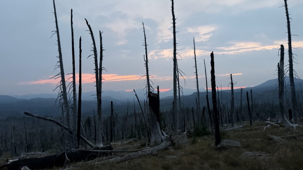
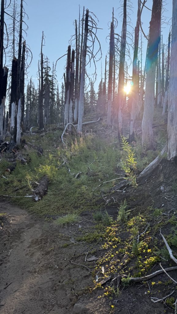
We crawled out of our tents at 7:40 am to a world wrapped in rain and cold. The forest was dripping, mist curling around the tree trunks as we trudged the first 3 miles to a water source. Hands numb, hoods tight, everything smelled like wet pine.
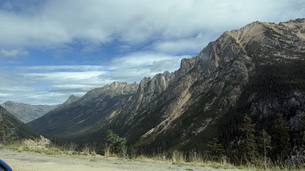
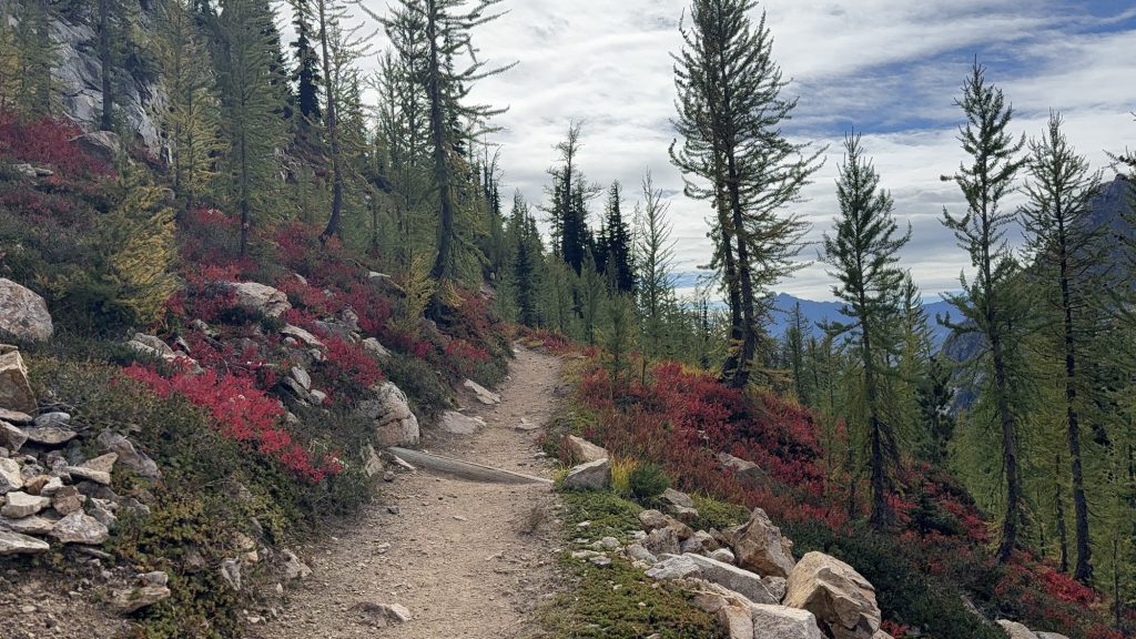
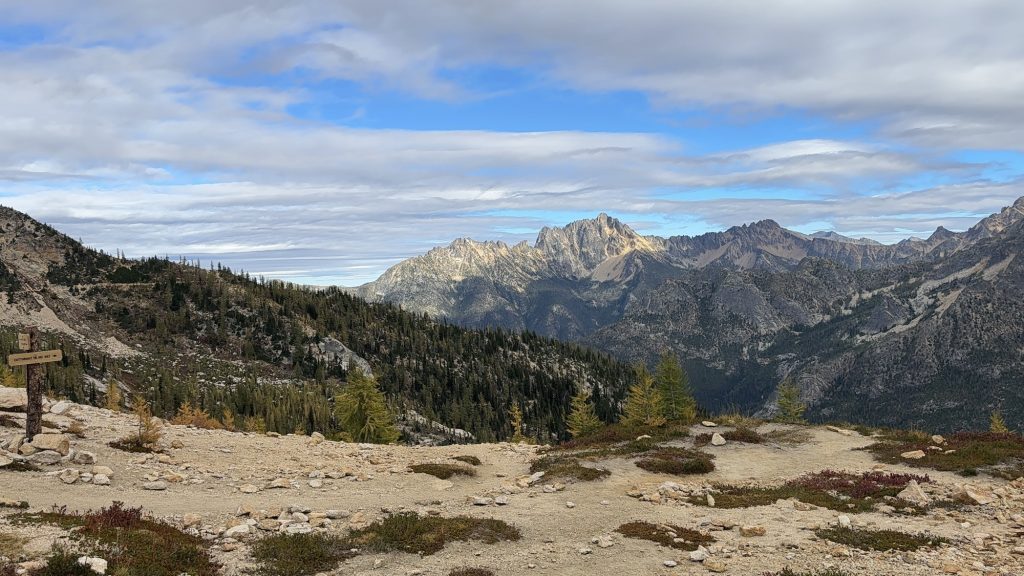
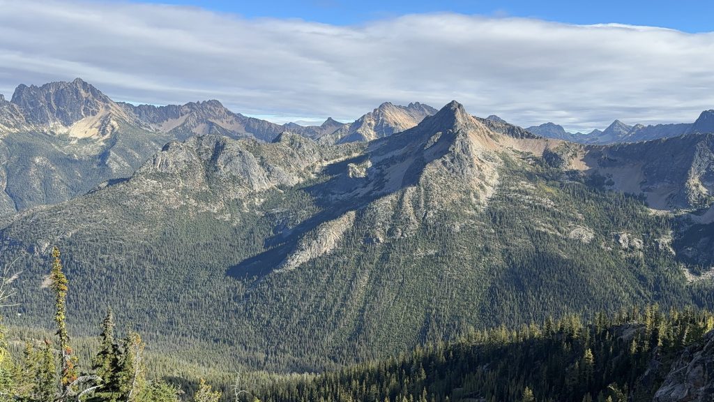
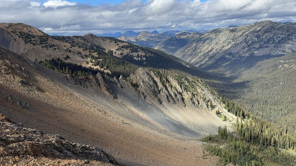
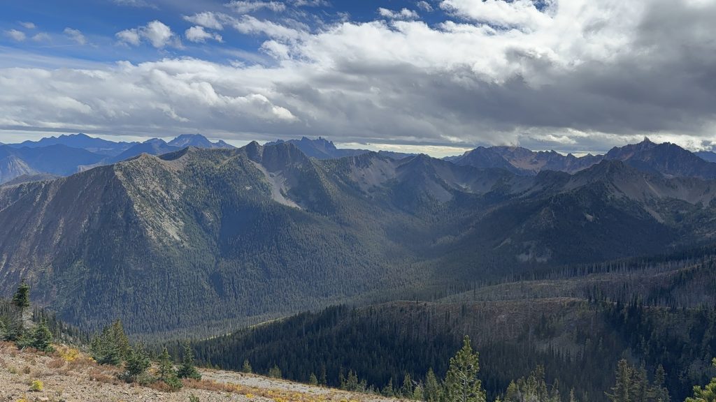
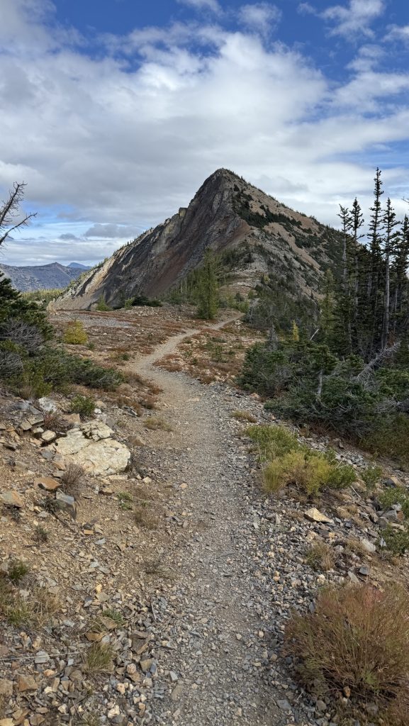
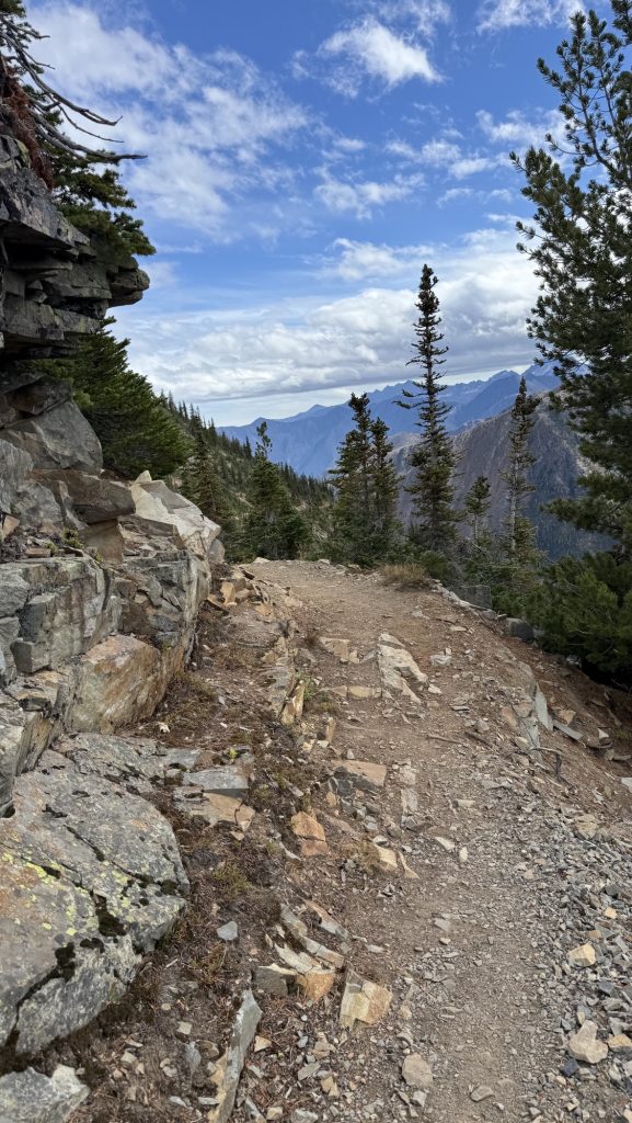
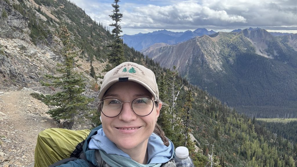
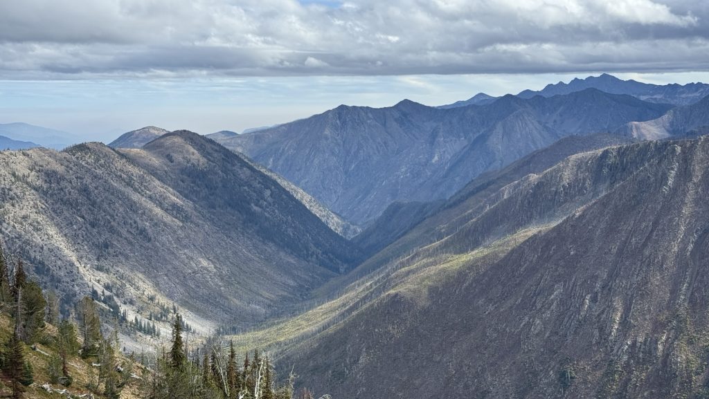
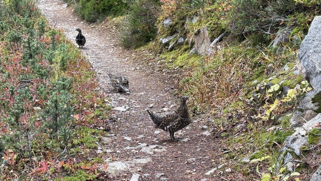
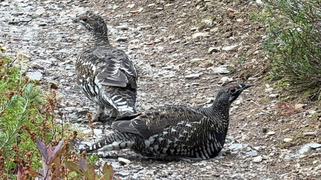
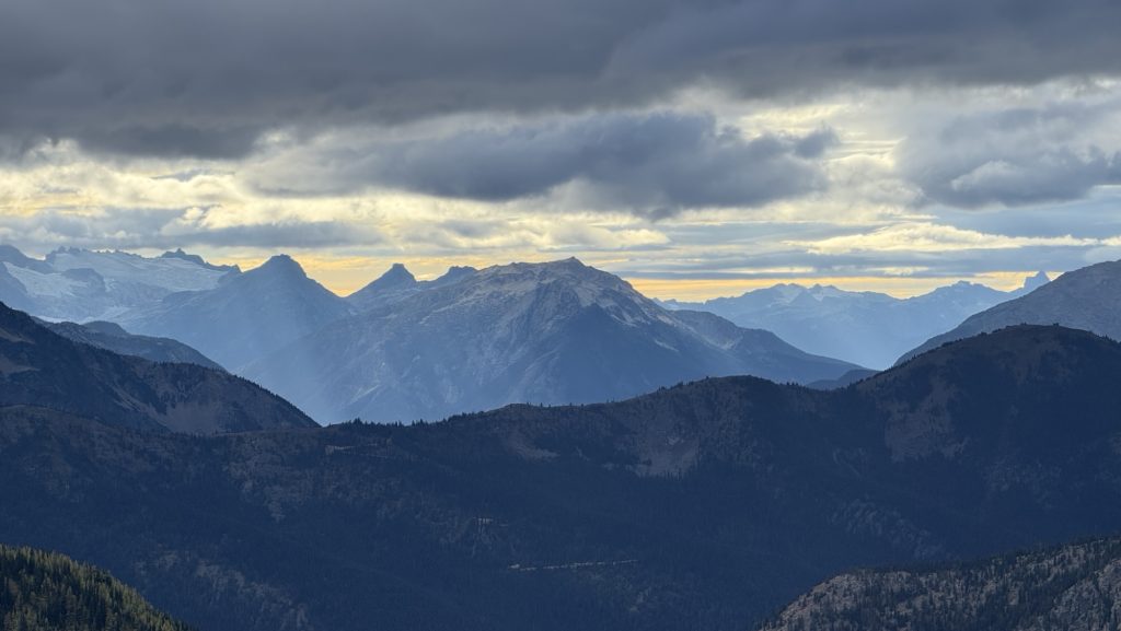
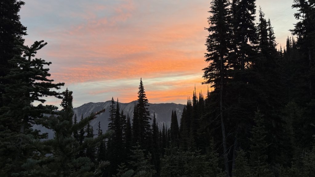
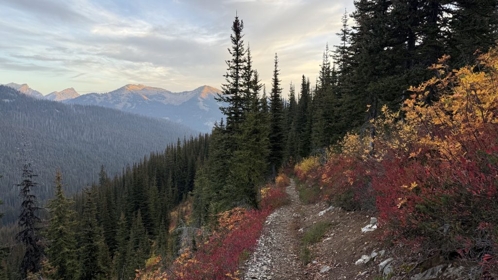
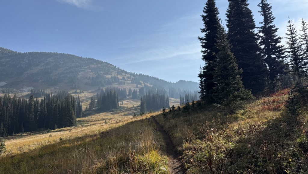
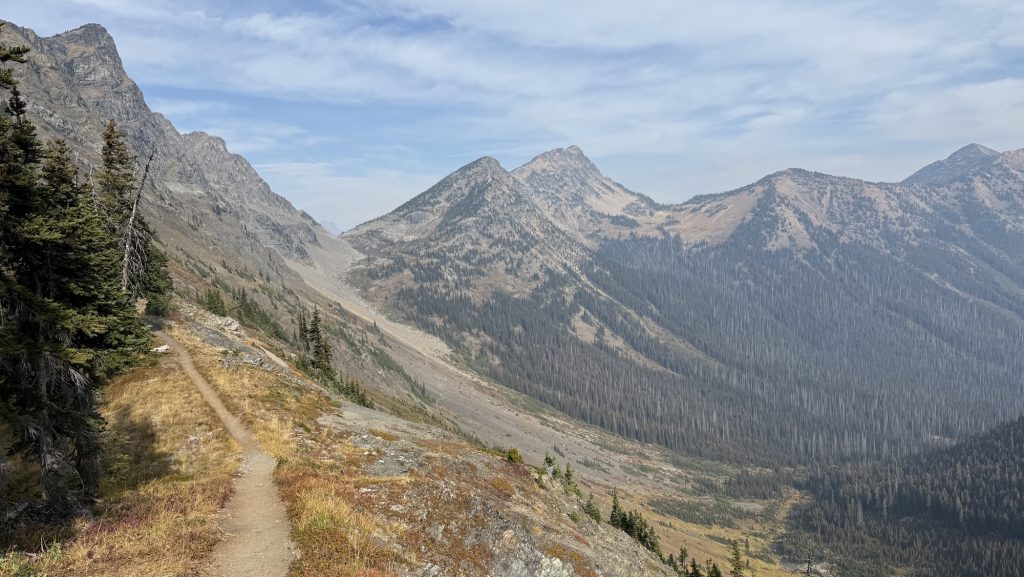
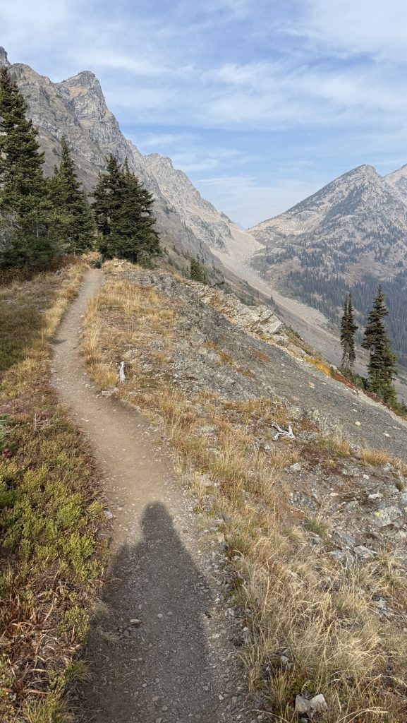
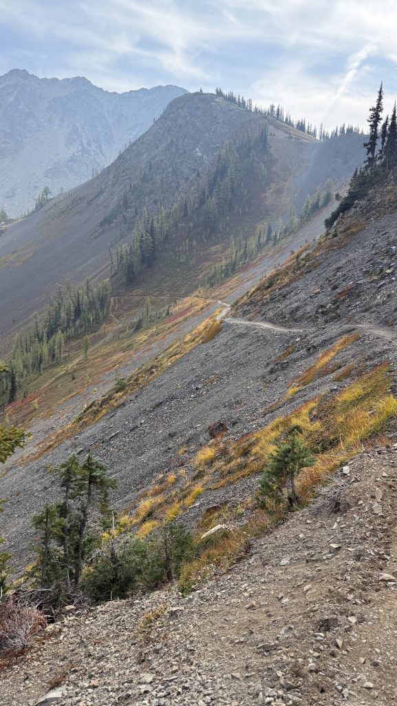
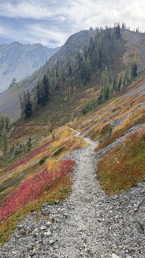
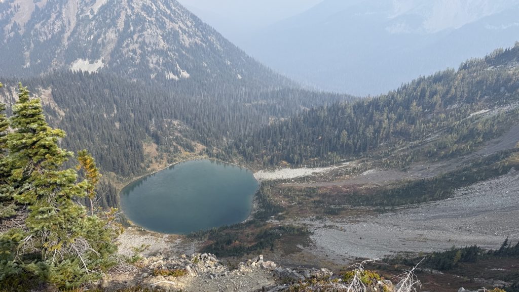
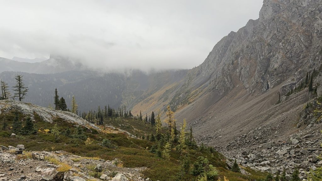
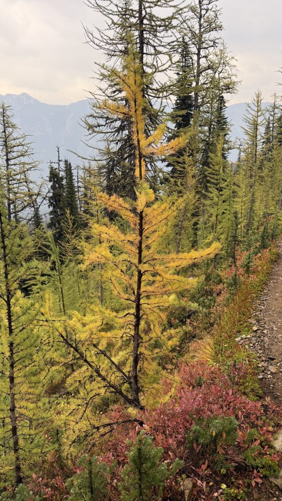
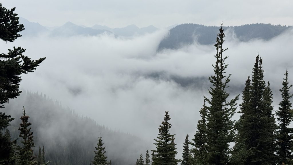
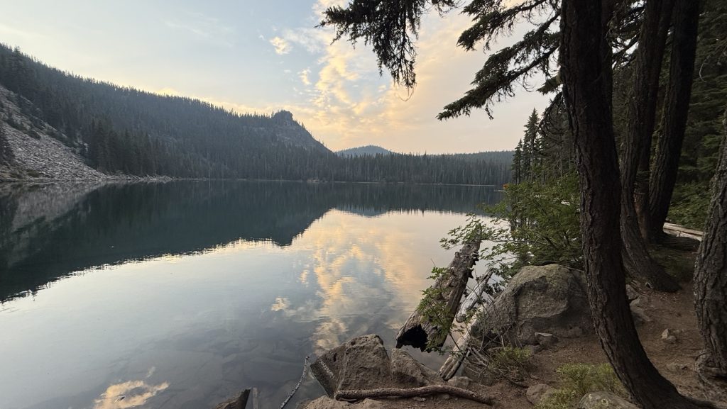
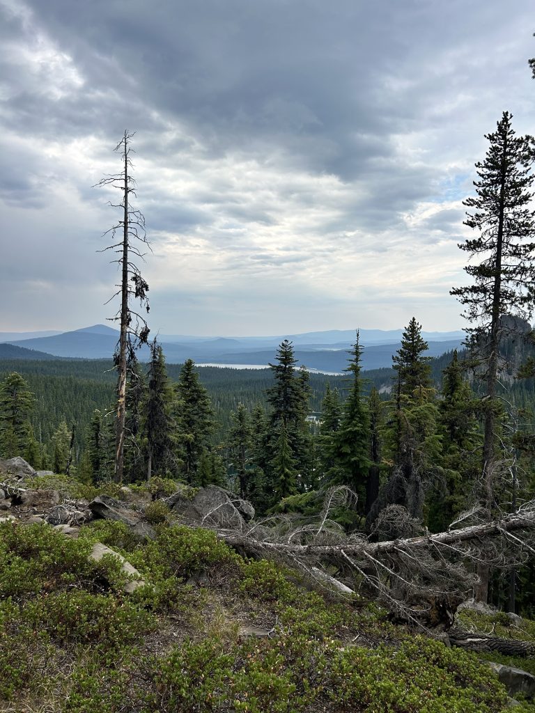
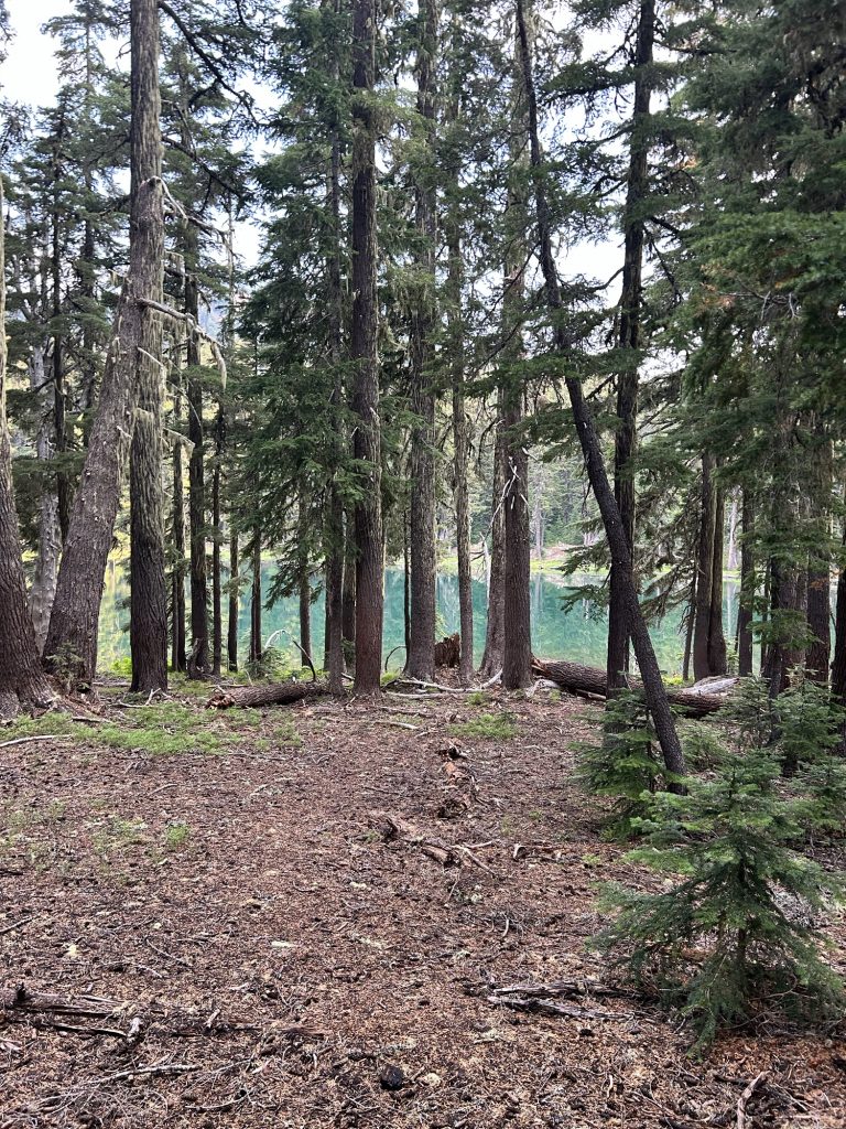
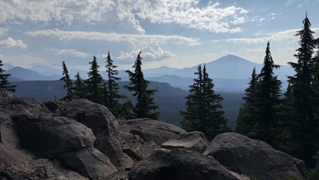
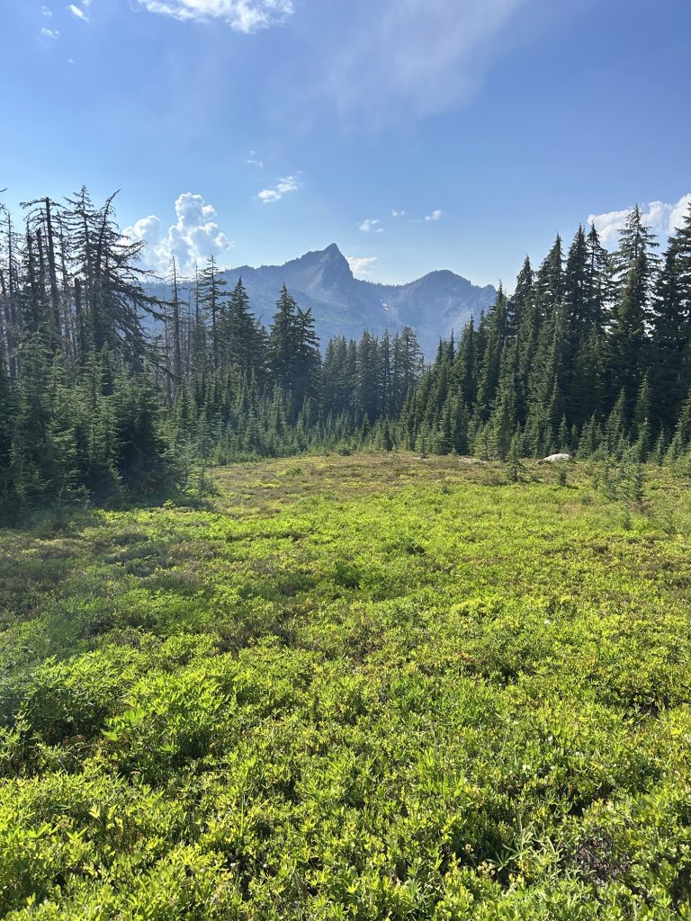
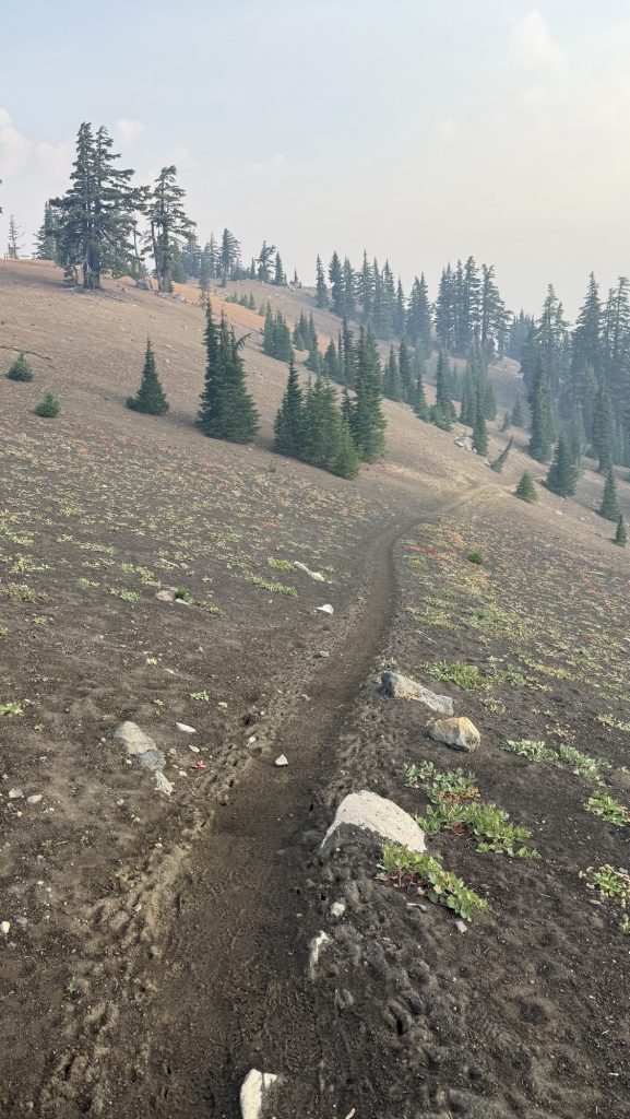
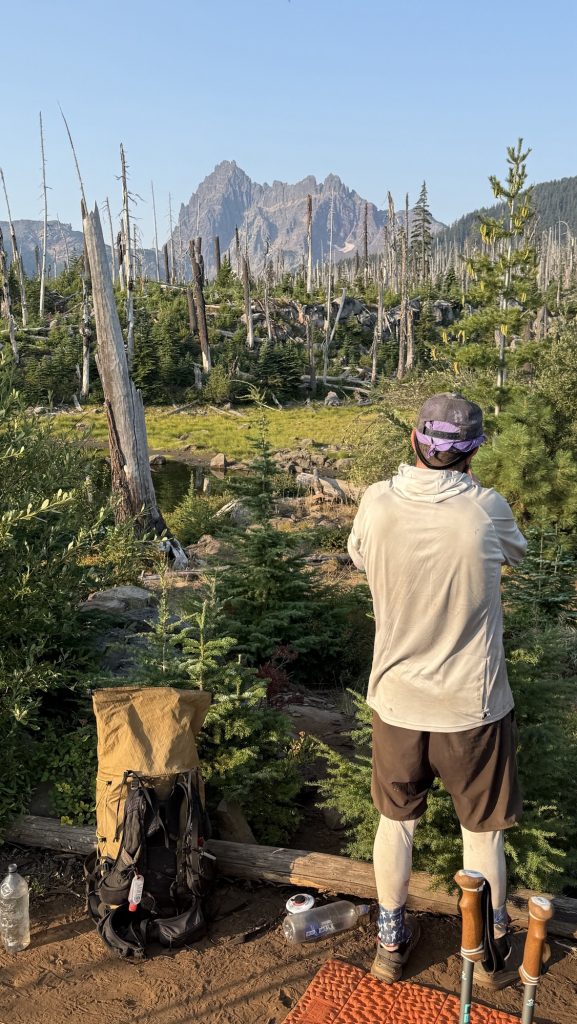
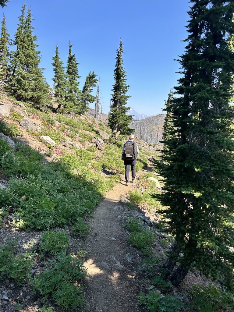
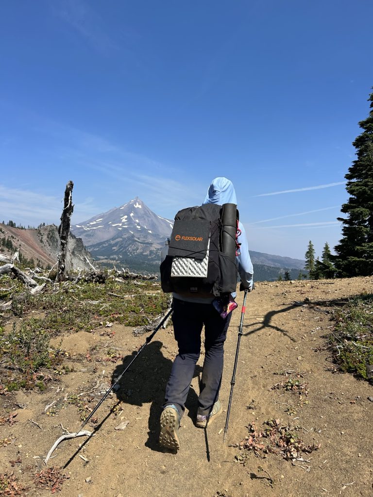
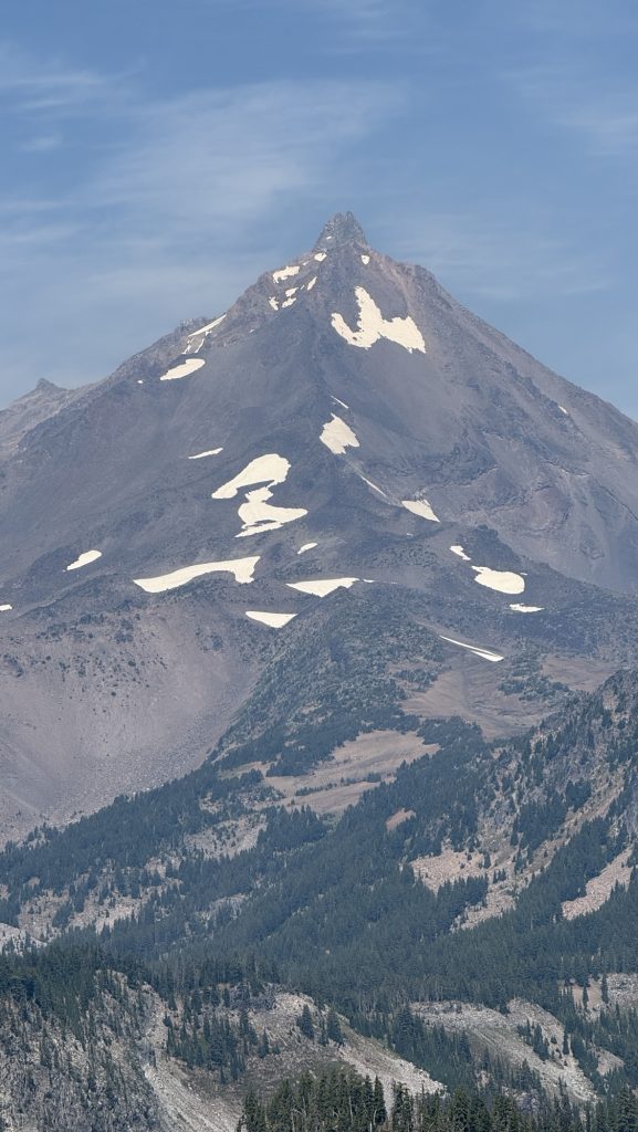
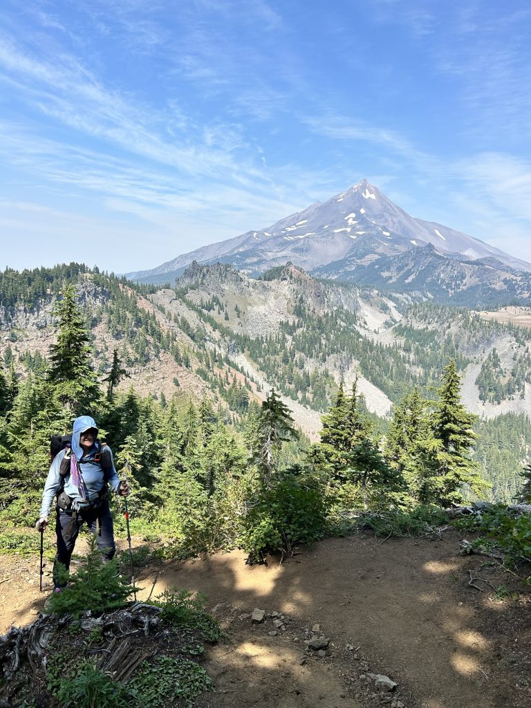
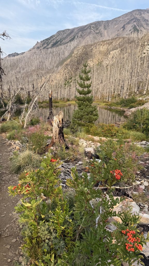
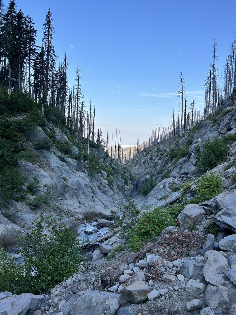
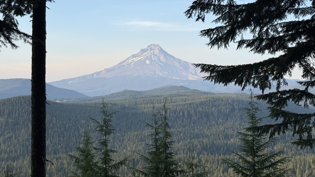
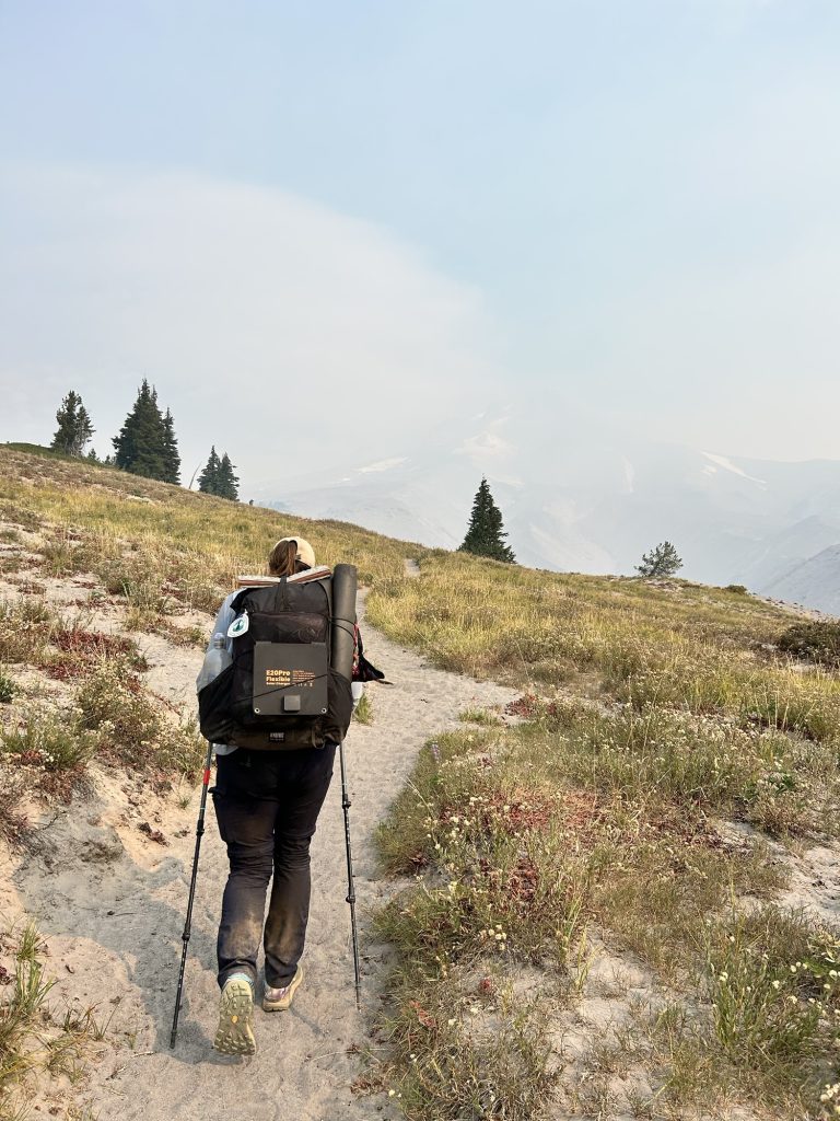
From there, the trail climbed—four miles of steady uphill—to Grasshopper Pass. The wet chill gave way to wind, and then… views. The kind of sweeping ridgelines where you forget you’re cold, just staring, every muscle telling you to stop and take it in. We did exactly that—lunch on the very top, looking out at endless green folds and distant peaks.
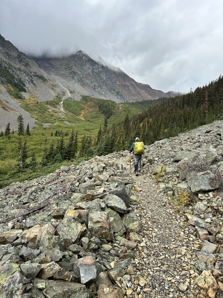
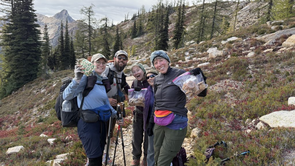
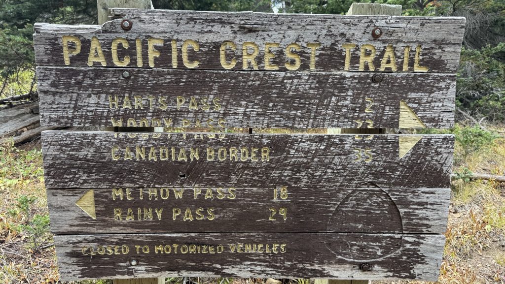
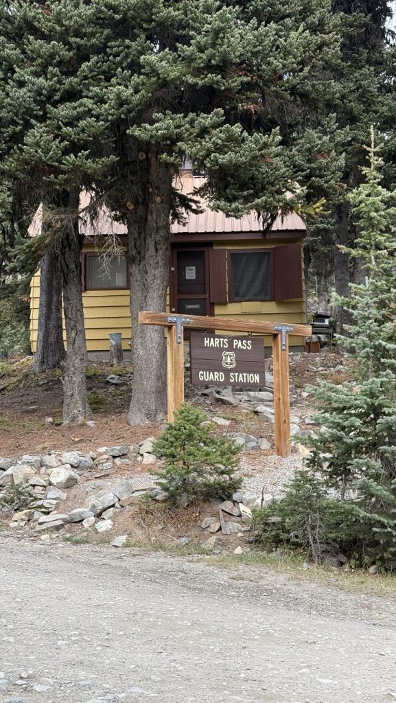
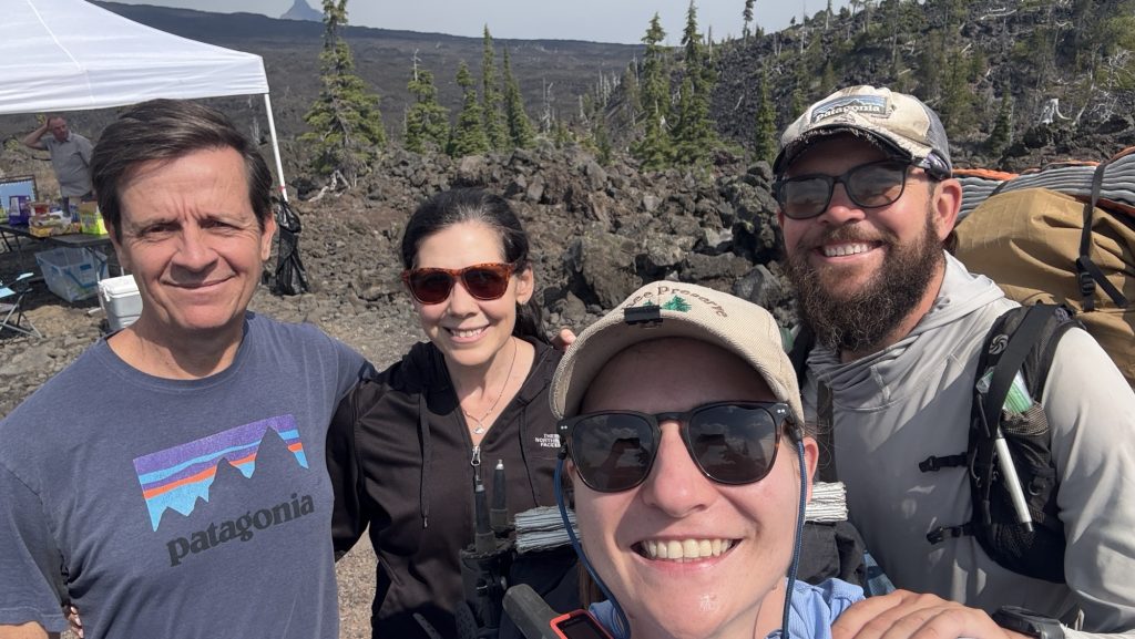
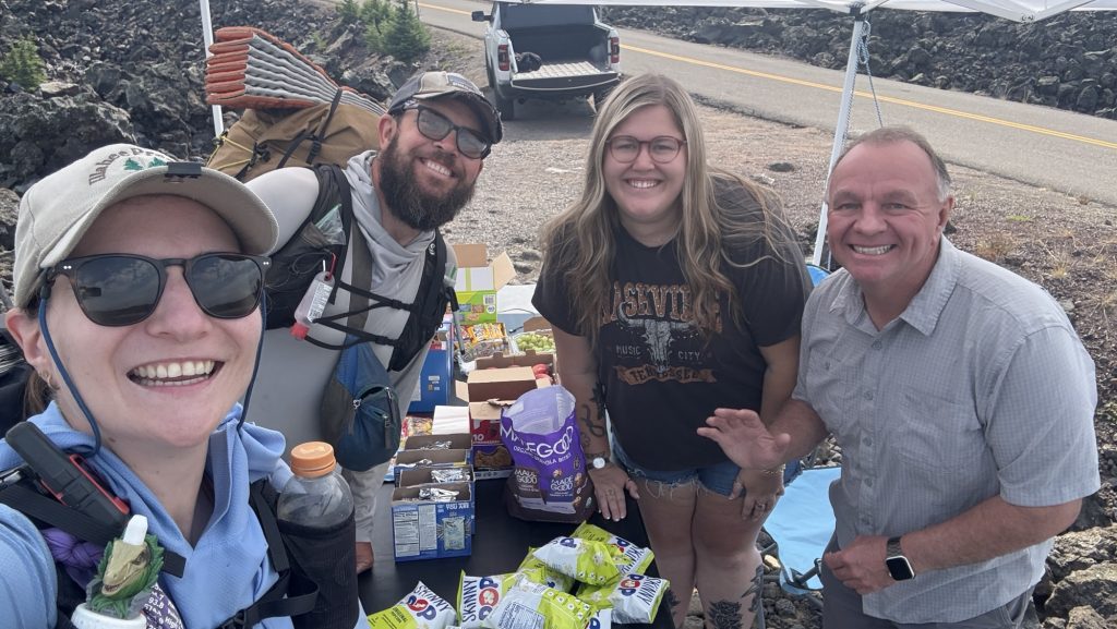
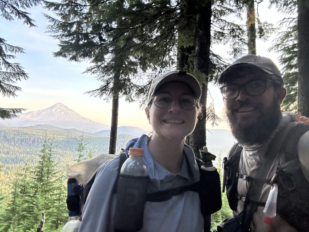
By 4:15 pm we rolled into Harts Pass. And there they were—Noah and Rambo—freshly done with the Pacific Crest Trail. It was surreal. They were grinning, handing out donuts like some magical trail angels of victory. Four other hikers milled around, all freshly finished. The air felt electric, like the trail itself was humming. This is where Iceman’s dad will pick us up in two days. Suddenly that fact was more real than ever.
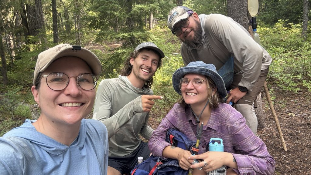
Leaving the pass, we didn’t get far before bumping into Meatbrick—more hugs, congrats, and incredulous laughter. Then came Bubbles, bounding down the trail, and everything dissolved into chaos: hugging, filming, tearing up. It’s happening—this is it. We’re watching our trail friends one by one cross that invisible finish line.

We only did around 23.5 miles today, stopping before dark at 7:00 pm. Tomorrow is going to be huge: over thirty miles.
Tomorrow, we finish the PCT.
Crazy.
Unreal.
I can feel the lump in my throat already.
Day 141: PCT Mile 2647.9: Canada! And 8 Miles Back South
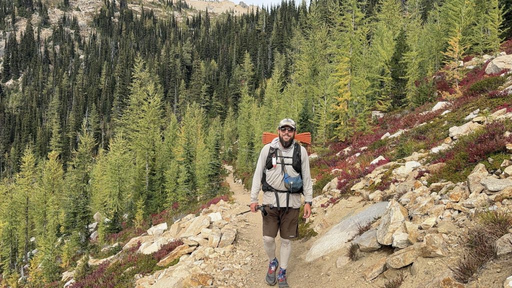
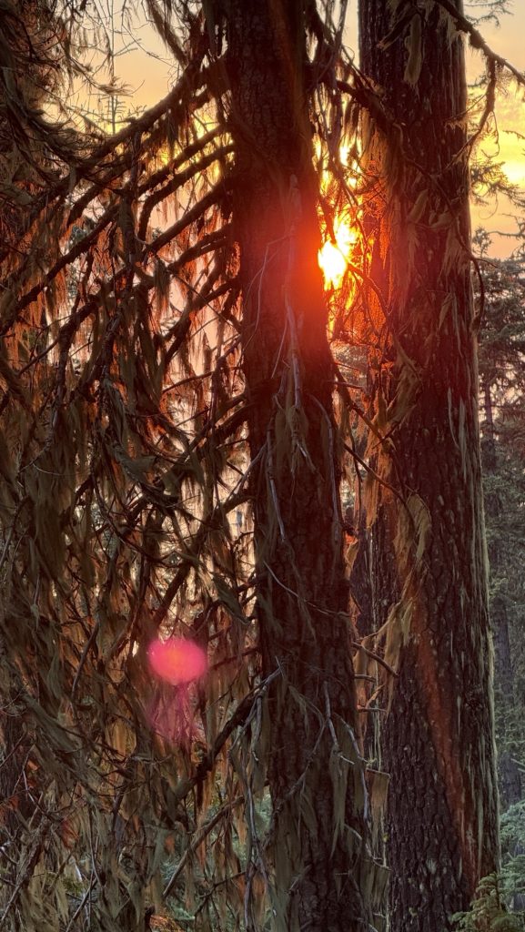
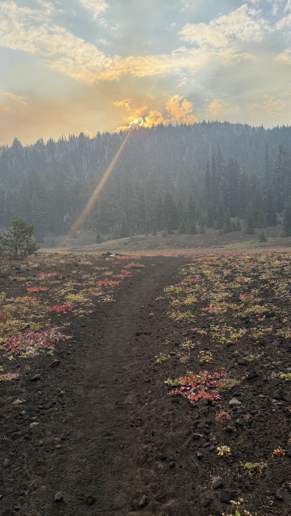
The alarm shrilled at 5:00 am. One last early start. One last day. We were out by 6:22 am, packs snug, shoes laced, determination buzzing in the morning stillness. This might be our longest day yet. Luckily the skies were kind—no rain, and the tent was blessedly dry. No frozen fingers today. We whispered a wish for sun, but waited for the horizon to catch its first light.
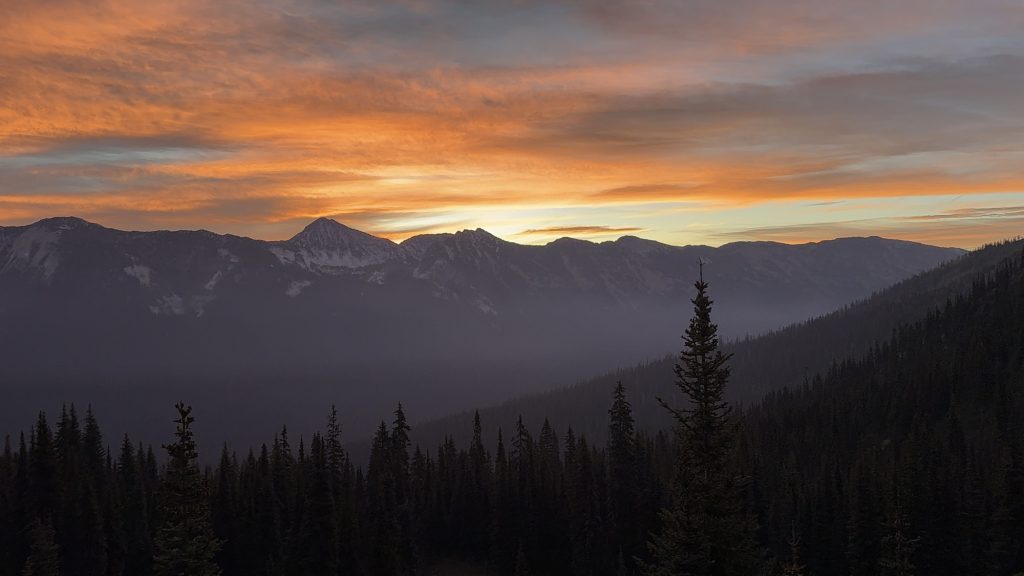
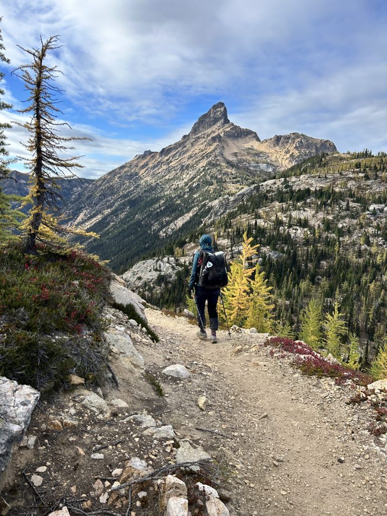
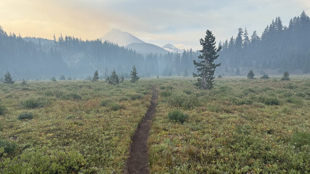
When it came, the day was flawless—bright blue skies, golden warmth spilling over the peaks. A day as perfect as the journey itself. The last trail magic wasn’t donuts, it was high-fives. We passed 37 hikers heading south from the Northern Terminus, each grinning, each congratulating us, and each reminder sending our excitement skyrocketing.
Still, reality kept us moving—today wasn’t just about reaching the border. We had to go big: big miles, big climbs. Tomorrow we need to make it back to Harts Pass to meet Iceman’s dad, so the two of them can fly halfway across the world to Everest Base Camp. The elevation gain was relentless. I wasn’t sure we had it in us… but the pull of the deadline is stronger than doubt.
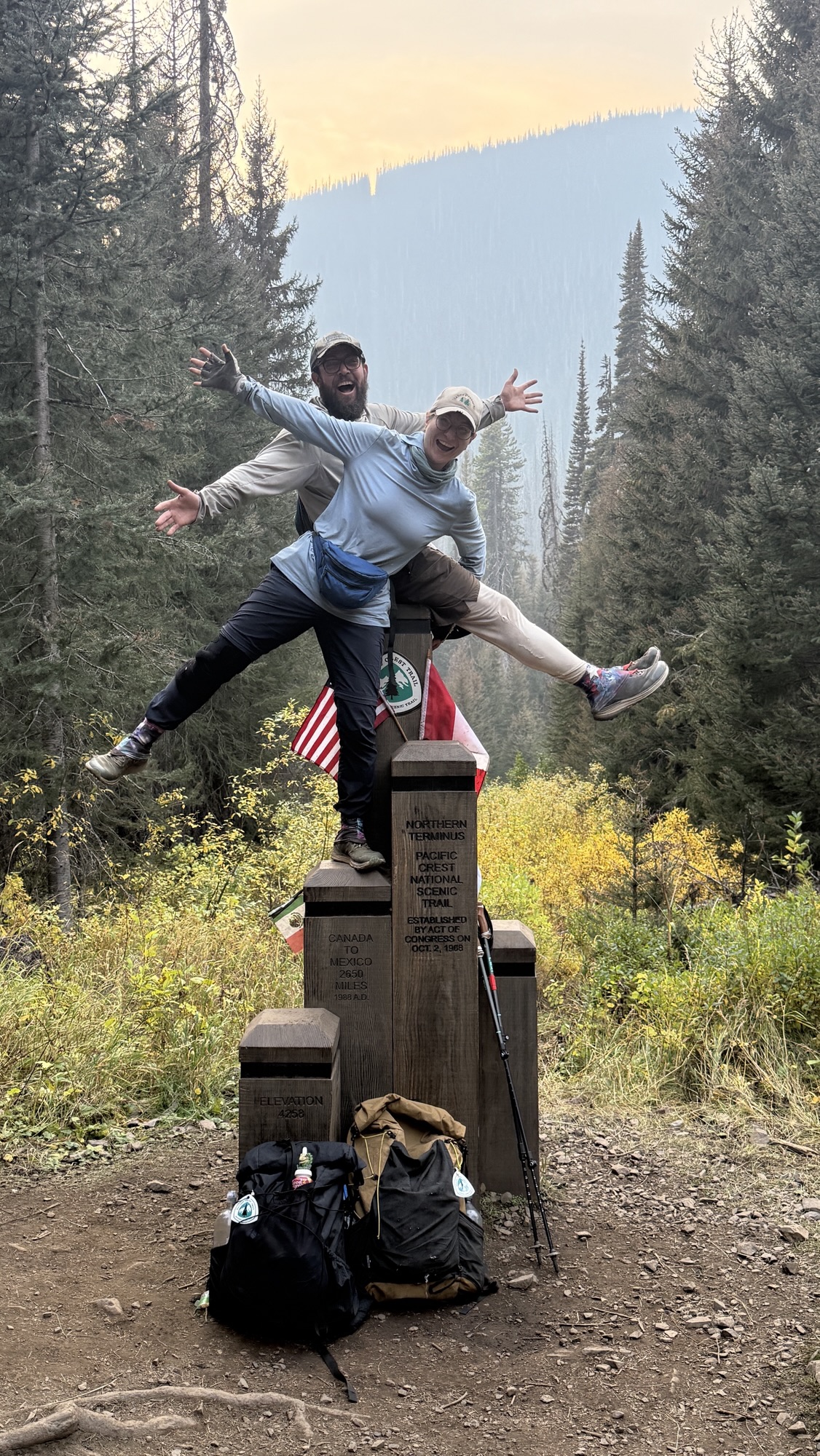
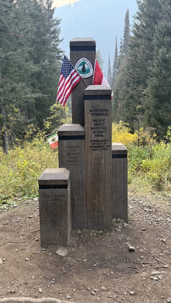
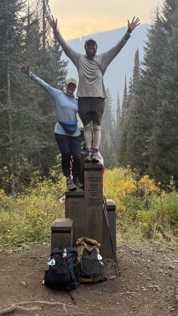
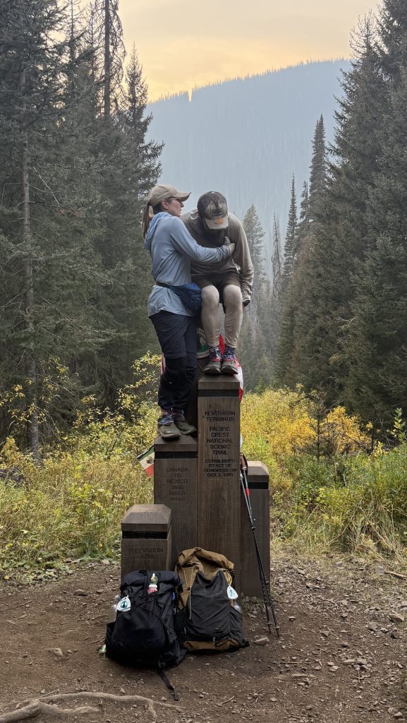
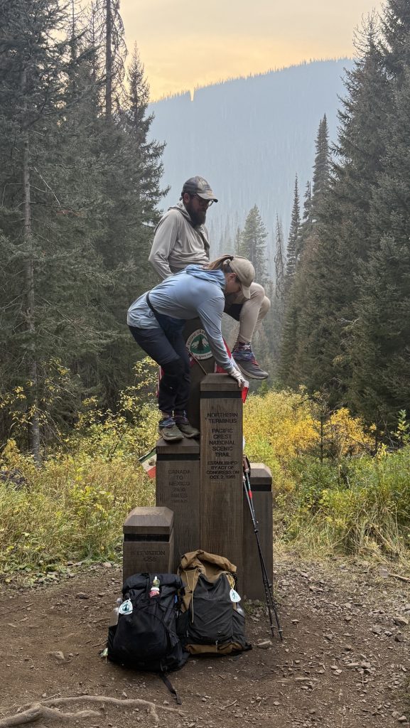
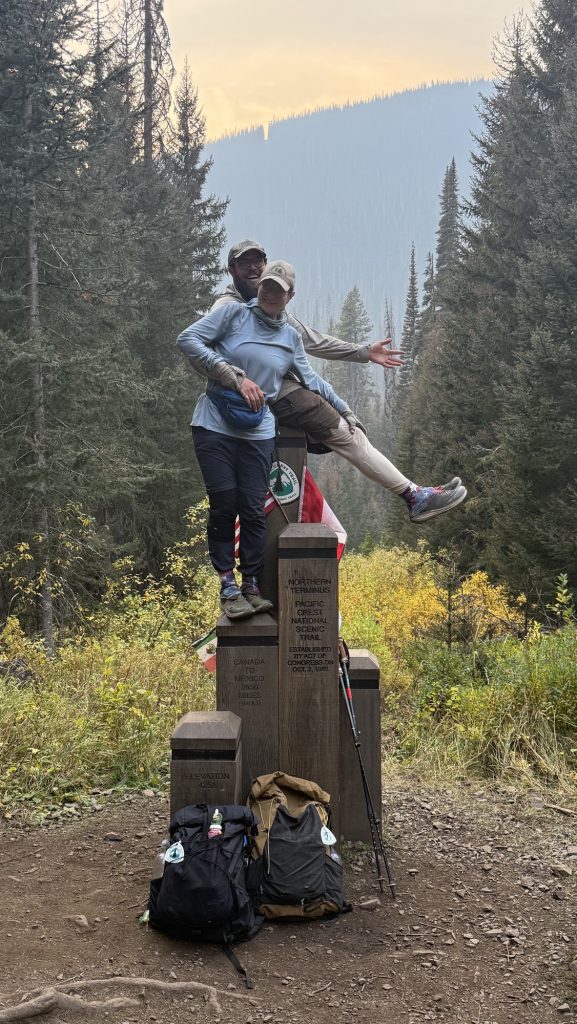
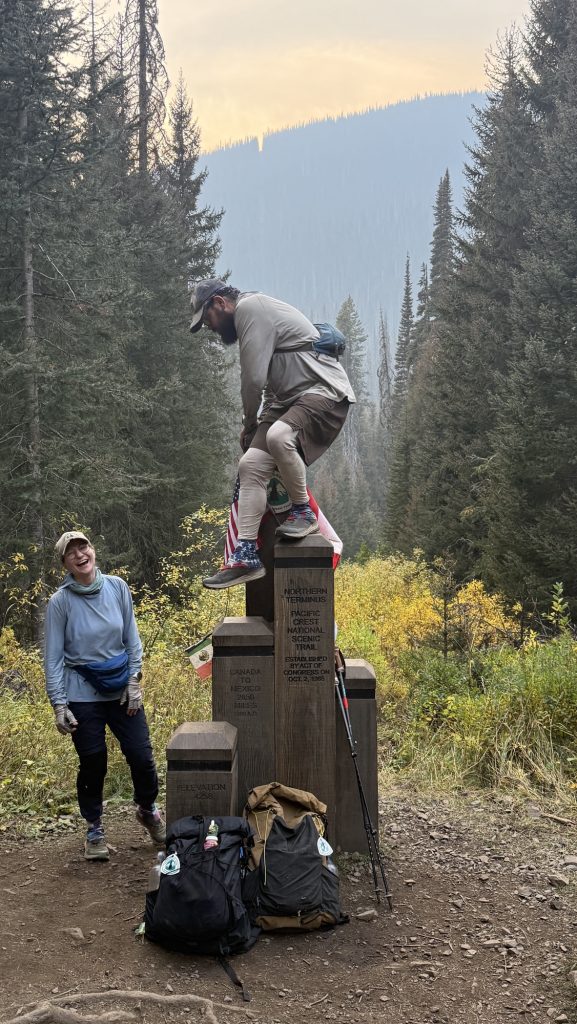
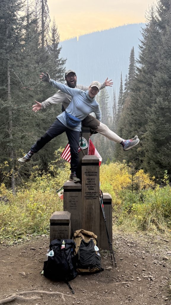
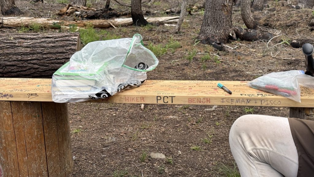
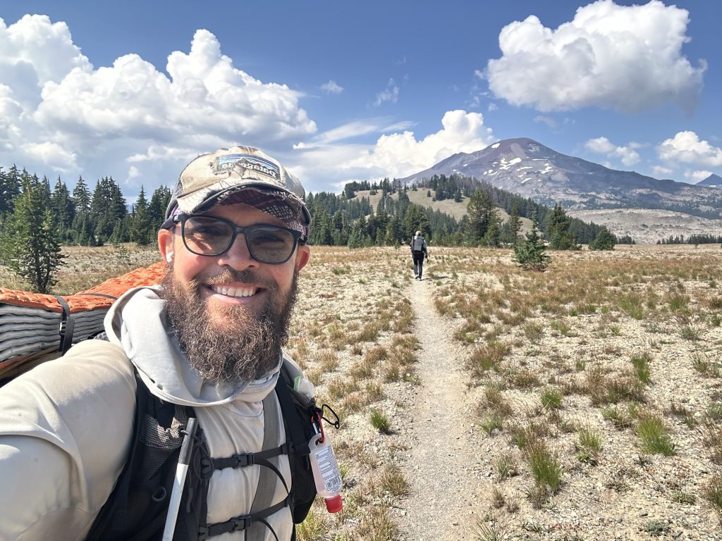
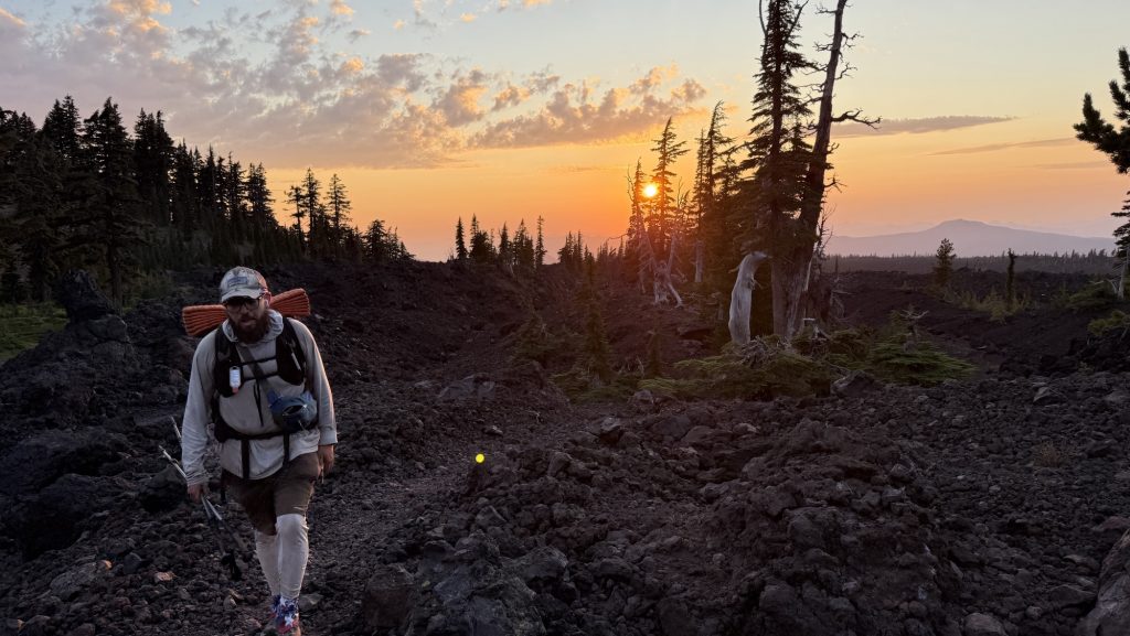
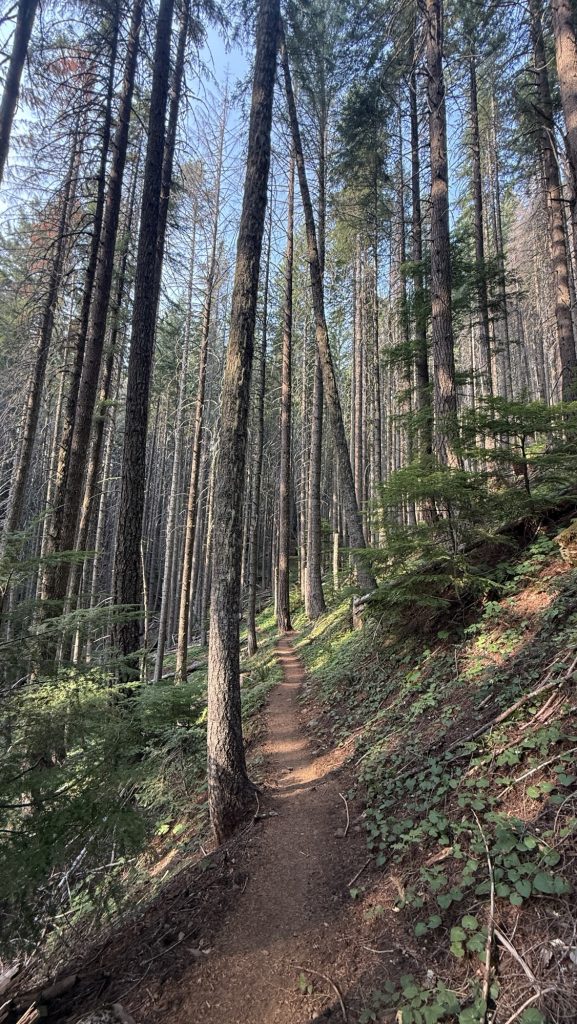
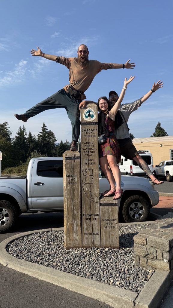
The last 8 miles northbound of the PCT are downhill—a gentle, beautiful roll into the border. The catch? We can’t cross. As of this year, hikers aren’t allowed to walk into Canada and simply exit to the nearest trailhead. Instead, the finish comes with a twist: you tag the monument, take it all in… and then you turn around. Thirty miles back south to Harts Pass is how the journey ends now.
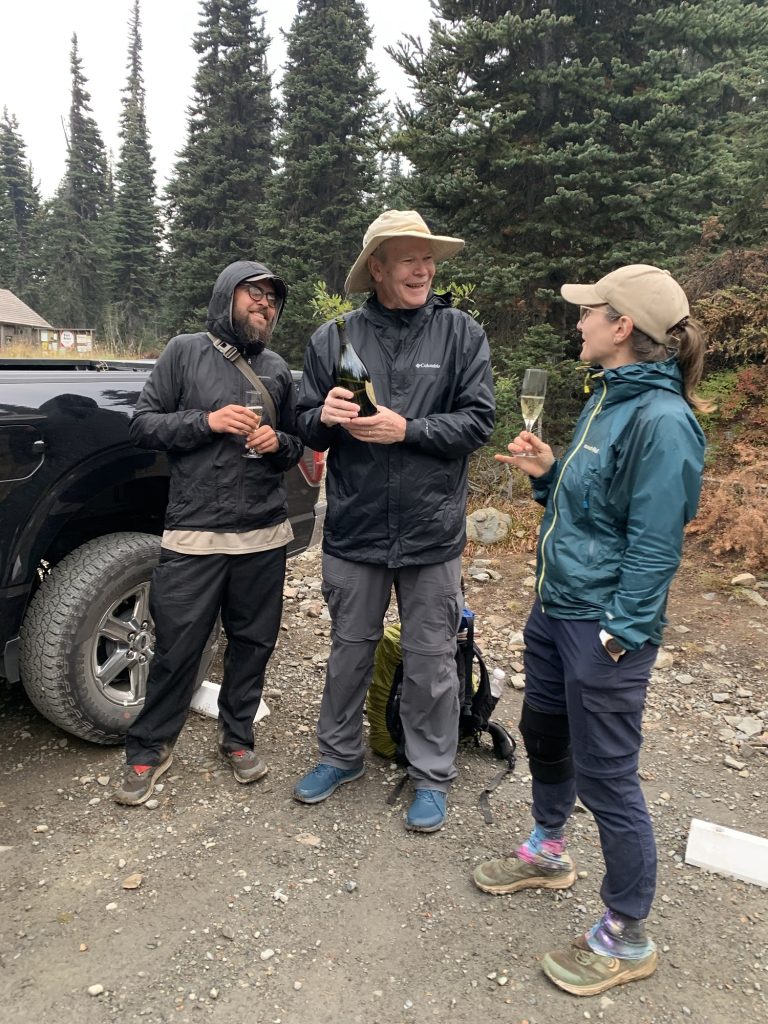
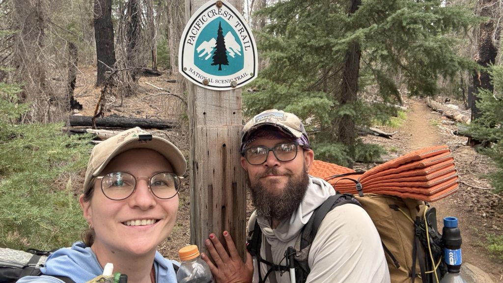
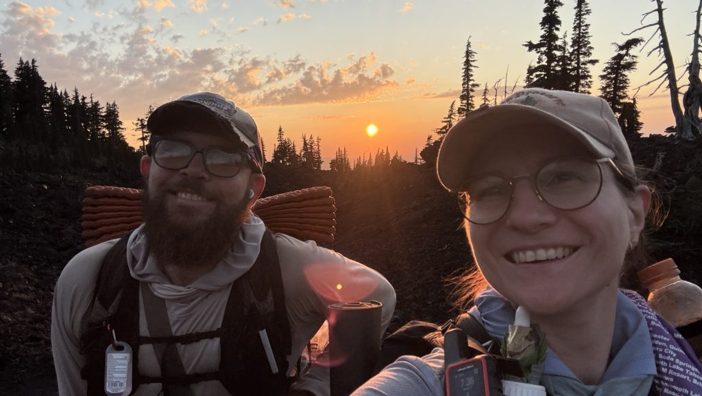
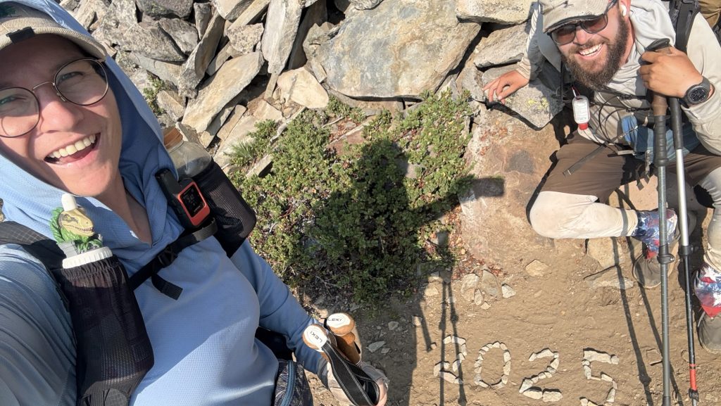
When the wooden Monument finally came into view, the air caught in my throat. Canada was a whisper away. We hugged and danced. We drank wine and took pictures. We ate German chocolate. We touched the monument, leaned against it, climbed it and almost fell off, hugged friends, and laughed, and then the tears came—quiet, heavy, sharp with joy. Five and a half months, one month off trail, some 2000 miles of the PCT northbound. This was never the moment we’d been chasing – it was always about the journey, never about finishing or Canada. But this moment was incredible nonetheless because it meant ‘the end’, the end of my biggest adventure yet. It also meant the beginning of the rest of my life. I was as excited as I was sad. The whole thing was overwhelming.
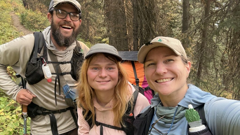
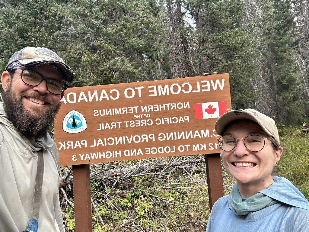
And then… we turned around.
We hiked 8 miles back into the afternoon light, climbing the entire time, breathing hard, watching the shadows grow. By the time we stopped, it was dark, 10pm, cold and the numbers felt colossal:
Miles: 32.06 / 51km!!!!
Ascent: 6,472 ft
Descent: 5,680 ft
Steps: 72,846 – what?
My legs are destroyed. My heart is full. Tomorrow, we will walk back into Harts Pass and this chapter will close. The PCT is behind us.
It’s over. For now.
Day 142: In the end we’re all SOBOs / Victory Lap back to Harts Pass – The Last Steps of a long Adventure
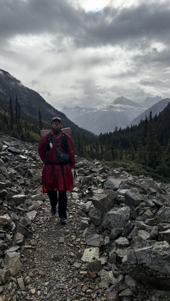
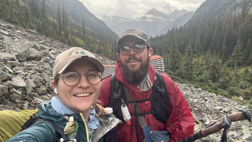
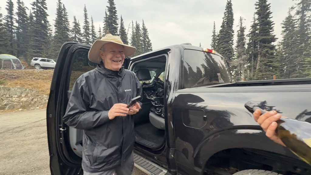
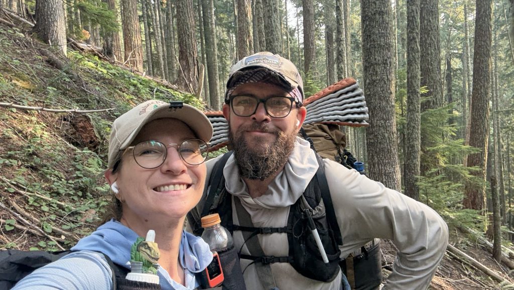
Our last morning on trail. It rained through the night, and when we crawled out of the tent, the sky was heavy and the air sharp. We knew Iceman’s dad would meet us between five and six at Harts Pass, so we planned to be there by four—no way were we going to make him wait. It felt fitting, really. Iceman got all his love for hiking from his dad—an Appalachian trail thru-hiker himself—so having him there at the very end of the PCT felt poetic. Iceman was sure his dad would want to hike the final few miles with us, to finish the journey side by side. I can’t imagine anyone better to meet us at Harts Pass. Exiting for me to finally meet the legend that is Icemana dad, having heard countless adventure stories over the last 5 months.

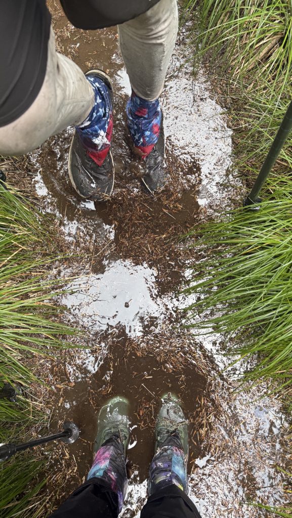
Twelve miles in, with about ten left to go, I started scanning the misty ridgelines for a tall man in a wide-brimmed hat and a blue rain jacket, just as Iceman had described his dad, trail name: Tin Man. But there was no sign of him. The world was gray and quiet, fog swallowing everything beyond a few meters. The rain came in sheets, cold and unforgiving. We were soaked but grateful—grateful for this incredible adventure, grateful we didn’t have to do this again tomorrow. It could have snowed any minute. We were exhausted but happy.
When we finally reached the trailhead and stumbled into a parking lot, relief washed over us—until we realized we were in the wrong place. Not Harts Pass. One wrong turn. My heart sank. I told Iceman we had to get back on the PCT quickly. His dad didn’t have a satellite phone, and there was zero reception out here. If we missed him, he could’ve hiked for hours looking for us, completely off-grid.
We pushed our way back through dripping trees and tangled brush, shouting his name into the fog. Then, through the rain, a figure appeared—a tall man, wide-brimmed hat, black jacket. We yelled again, louder this time. And then came a cheerful call back through the mist:
“I’ve got an Uber Eats delivery for Iceman and Disco!”
There he was. The legend himself—Iceman’s dad, Tin Man. We laughed, shouted, hugged, the tension melting away. For the last fifteen minutes of trail, we walked together through the rain toward Harts Pass. A proper ending.
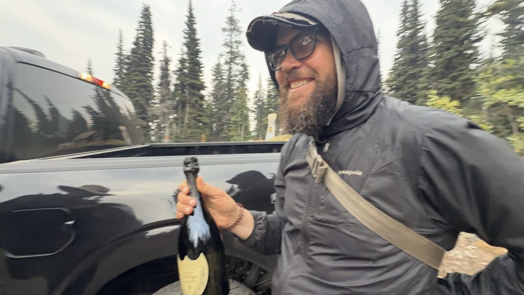
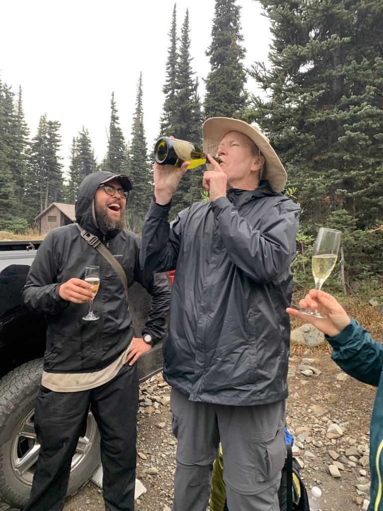
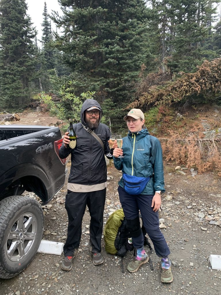
At the parking lot, Tin Man pulled out a white towel. Inside: a bag of ice and a bottle of 2015 Dom Pérignon Champagne. Two crystal glasses followed. He handed them over, grinning ear to ear. We popped the cork—loud and triumphant—and picked it up – leave no trace. Champagne foamed into the glasses, and we all took turns sipping, even pouring a taste for a nearby ranger who wandered over to check what the commotion was about. There we stood in the drizzle, drinking champagne at a remote trailhead, laughing, buzzing, completely alive. 🥰
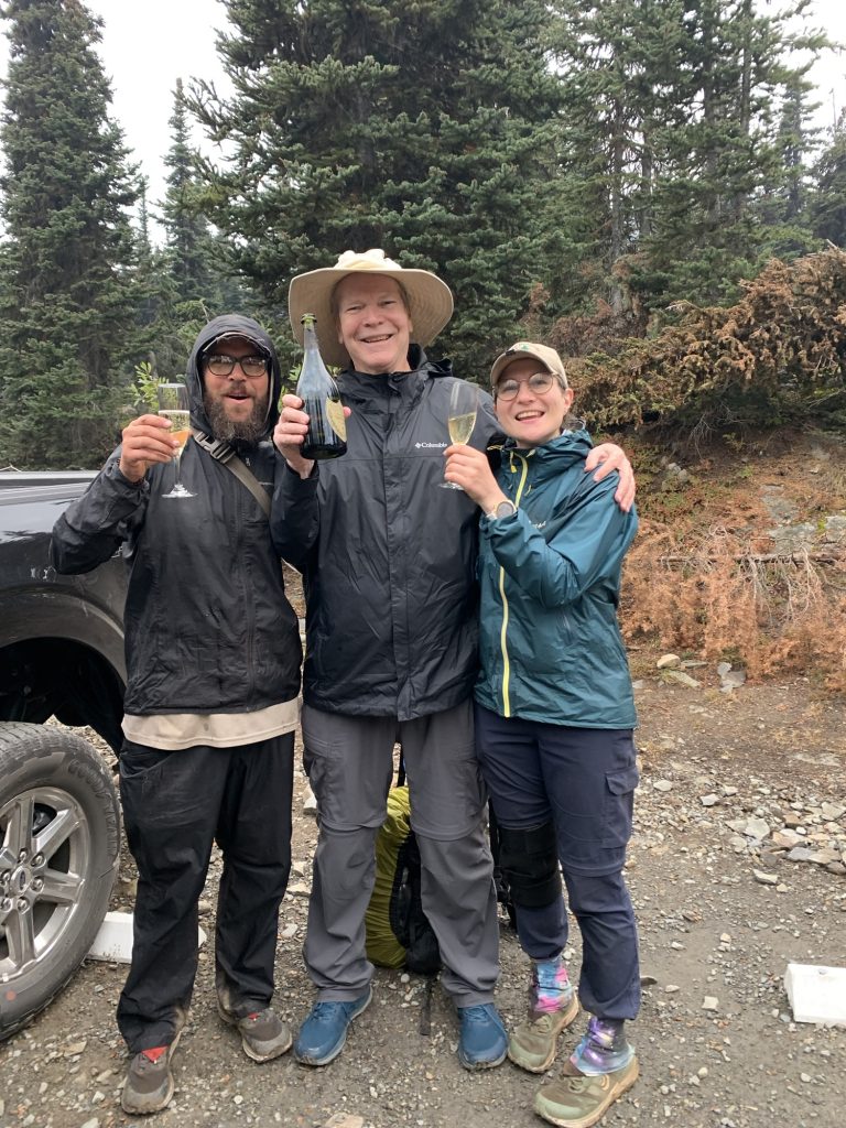
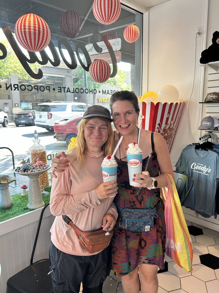
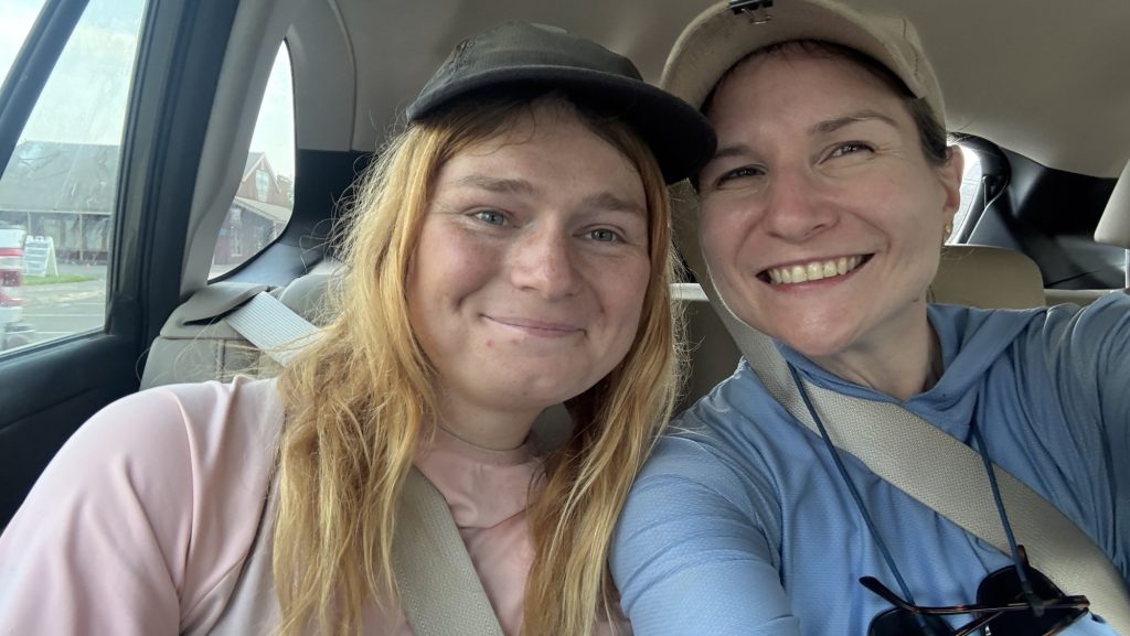
We stayed there for nearly an hour, time flying away in a trance, basking in the joy and disbelief of finishing the Pacific Crest Trail—five and a half months of mountains, deserts, snow, rain, and everything in between. Then we piled into the car and wound our way down the forest road toward Mazama, where our friend Kate waited for us at the bakery. One last reunion, one last round of hugs, one last familiar face from this strange and wonderful world.
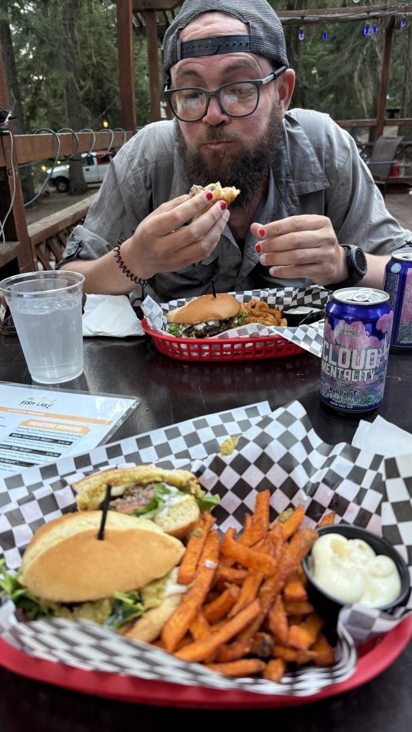
The drive to Seattle took us through 5h of dark forest and quiet roads. We stopped for burgers on the way—nothing has ever tasted so good—and rolled into the city around 11 pm.
Kate wanted to catch an early flight back to the UK the next day. We said our goodbyes in the hotel lobby, sleepy but smiling. Then finally—soft beds, clean sheets, silence.
The PCT was over. And the rest of our life’s began. And Iceman and I had made a lot of plans in the last 5 months. 🤩
And for the first time in 142 days, we didn’t have to walk anywhere.
The End
After 2,198 miles / 3398 km and more blisters than I care to count, and plenty of trail dust in places it shouldn’t be, I’ve reached the end of the Pacific Crest Trail. It’s hard to put into words how it feels to be done, but here we are.
I want to thank everyone who made this journey so special — the hikers I met along the way, the incredible trail angels, the drivers who scooped up us dirty, tired wanderers, and every single person who supported us from near or far. Your kindness made the miles lighter and reminded me how much good there is in the world.
This isn’t goodbye for the blog. More adventures are on the horizon, and maybe a few reflections once my head and feet have caught up with the fact that we’re no longer walking.
Thank you, truly. It wouldn’t have been the same without you.
🫶🫶🫶
Disco
Statistics overall
Miles hiked:
• April: 177.4 (start April 17th and low mileage 1st 4 weeks)
• May: 458.9
• June: 345.2
• July: 66.8 (mostly in Germany not hiking)
• August: 503.8
• September: 646.7
Total: 2,198.8 mi
Ascent:
• April: 24,259
• May: 76,510
• June: 70,792
• July: 8,944
• August: 73,640
• September: 117,938
Total: 372,083 ft
Steps:
- April: 557,100 (start April 17th and low mileage 1st 4 weeks)
- May: 1,098,962
- June: 850,719 (Sierra Nevada, high elevation)
- July: 309,951 (mostly in Germany not hiking)
- August: 1,126,373
- September: 1,408,273 (killing it)
Total steps = 5,351,378 steps
Time (hh:mm:ss)
• April: 82:45:27
• May: 211:07:54
• June: 173:28:06
• July: 30:50:08
• August: 205:14:13
• September: 272:44:54
Total: 976:10:42
Calories
• April: 22,716
• May: 56,107
• June: 46,025
• July: 7,252
• August: 47,205
• September: 60,499
Total: 239,804 Cal
Numbers in perspective / Scope / for fun:
Here are some comparisons for those ridiculously large numbers:
Calories Burned: 239,804 Cal
- A 155-lb person burns roughly 300 calories in 30 minutes of brisk walking or 360–420 calories in 30 minutes of running at 6 mph (10-min mile).
- To burn 239,804 calories would take about 666–800 hours of brisk walking or 285–333 hours of running at 6 mph—this would require years of regular exercise for most people.
Hiking Distance: 2,198.8 miles
- Average hiking speed is 2–4 miles per hour.
- At 3 mph, it would take around 733 hours to hike this distance, or nearly 30 straight days of non-stop hiking.
- The distance is similar to hiking from New York City to Salt Lake City, Utah.
Total Ascent: 372,083 ft
- Mount Everest is 29,032 feet high.
- Your ascent is equivalent to climbing Mount Everest about 12.8 times (372,083 / 29,032 ≈ 12.8).
Total Time: 976 hours 10 minutes (976.18 hours)
- A standard full-time work year is 2,080 hours (40 hours per week × 52 weeks).
- 976 hours of hiking is equivalent to roughly 24.4 work weeks, or about 6 months of full-time work.
Days 105 – 118: 1912 – 2150 / End of Oregon
Day 105: Bingham Lakes (18.9 Miles)
We started hiking at 9.30am. We were tired. Haven’t done a zero since Ashland.
We took alternate route to cut 10 miles and some elevation to Shelter Cove. We will reach it tomorrow, 15 miles instead of 25.
I am very tired and will go to bed now (8:44pm)
Stats
Distance: 18.9 miles
Steps: 39.799
Ascent: 2124 ft
Descent: 2621 ft
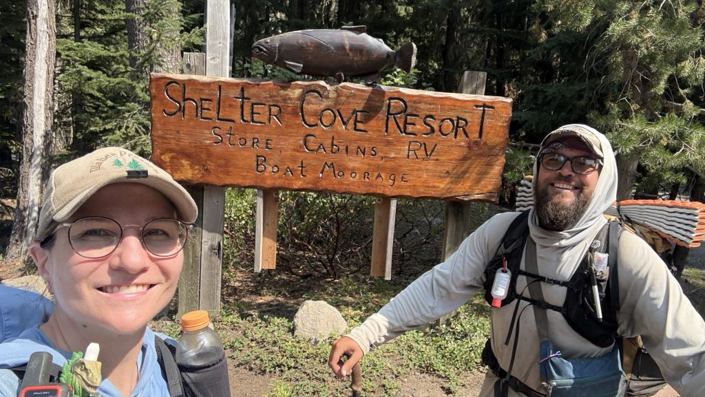
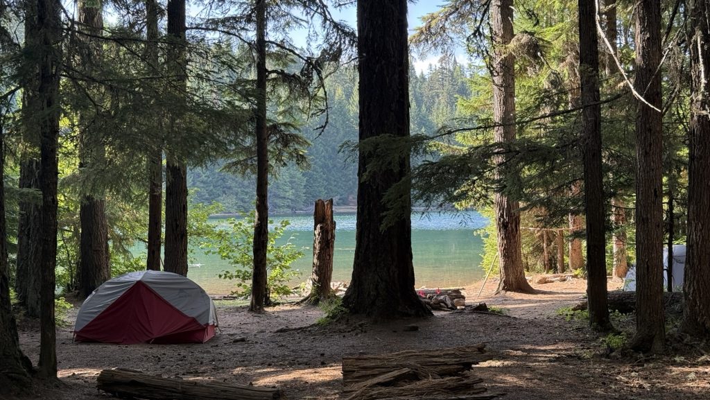
Day 106: Shelter Cove & Lower Rosary Lake mile 1912.2 (21.94)
Breakfast at 7.30am by a beautiful lake. It’s completely quiet except for birds and the noises we make.
Granola and trail mix and coffee. 15 miles to Shelter Cove Resort where we can shower and eat a burger.
We haven’t had a day off in a while so we’re both feeling tired. Won’t have a bed for another 5 days till we reach the city of Bend.
We hiked through forest all day and it rained a little bit for the first time in a long time.
We made it by 2.30pm and had a burger – the burger was really good.

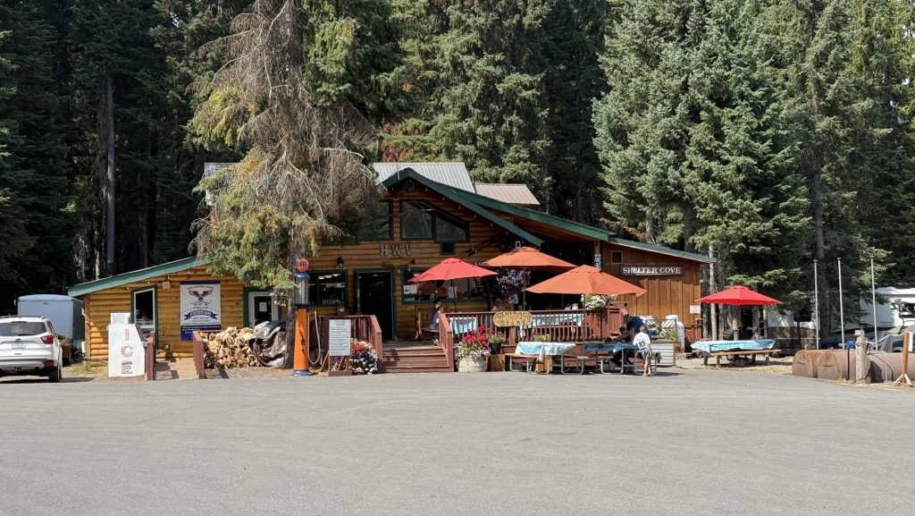
We took a shower and bought two dinners for trail and some snacks.
We ran into Fruit Loop and she told us Roadrash skipped to Washington. She also said Kate is ahead of us. We must catch her haha we thought she’s behind us!
We hiked out until it was almost dark and camped at Lower Rosary lake.
Miles hiked: 21.94
Steps: 49.985
Ascent: 2247 ft
Descent: 2020 ft
Day 107: 1912.2 Lower Rosary Lake to Jezebel Lake 1935.8 (longest day yet: 24.06 miles)
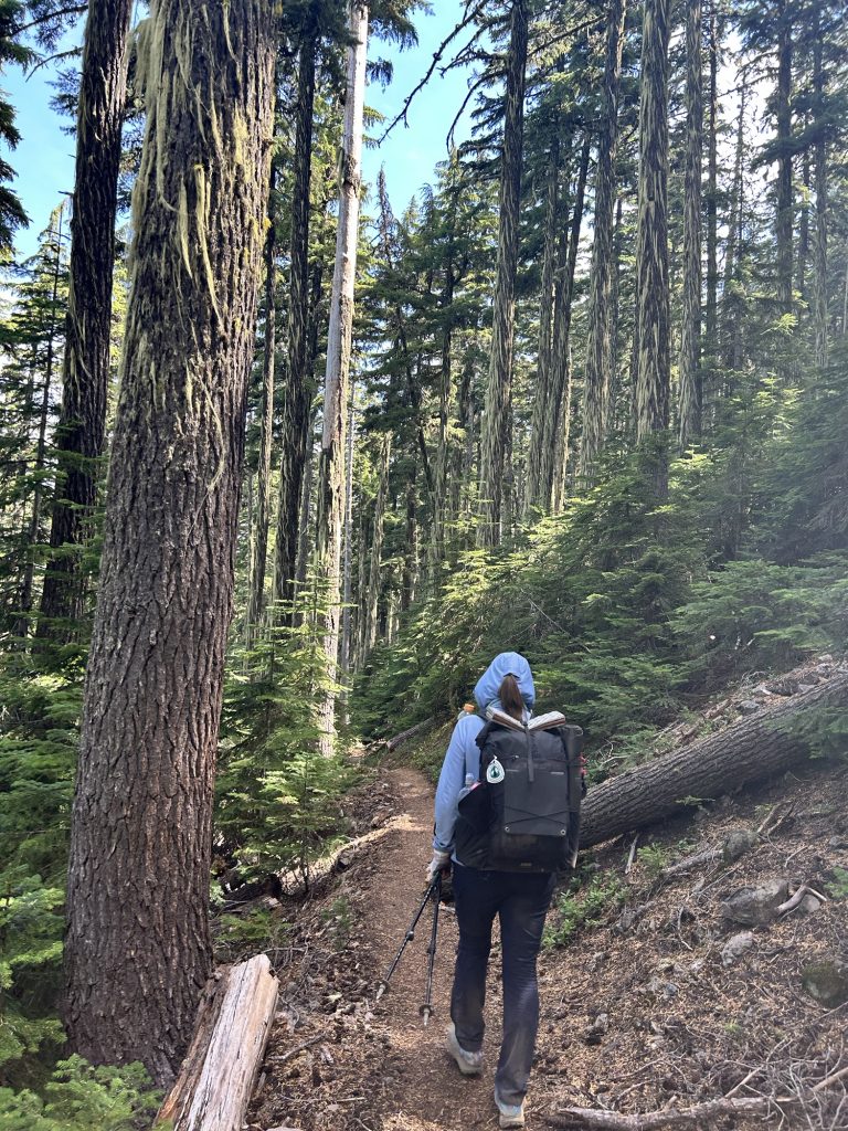
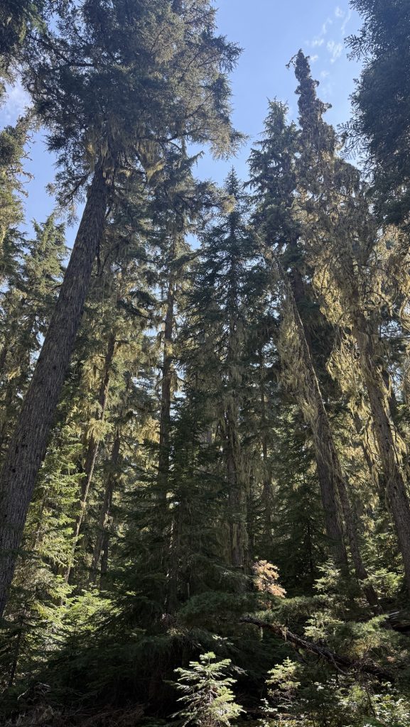
We left at 8.15am and hiked 7 miles to water. We continued hiking through beautiful forests.
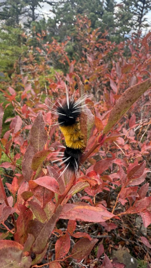
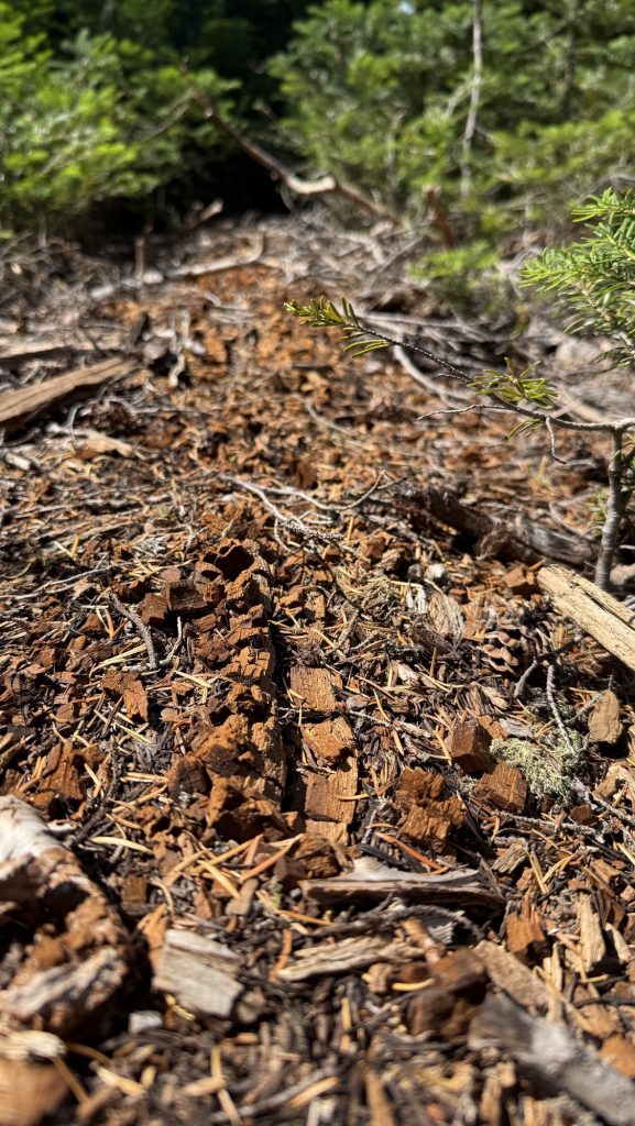
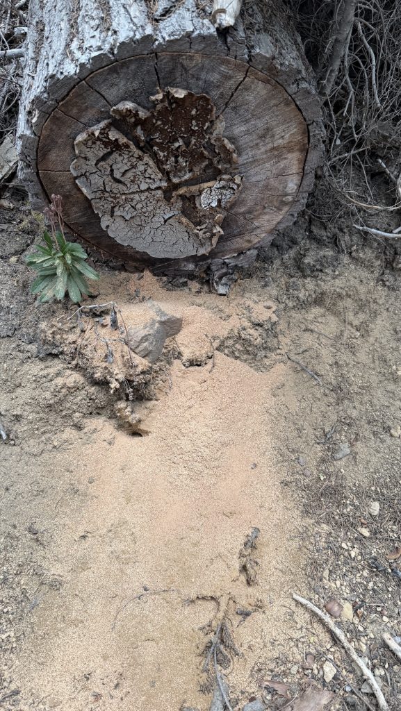
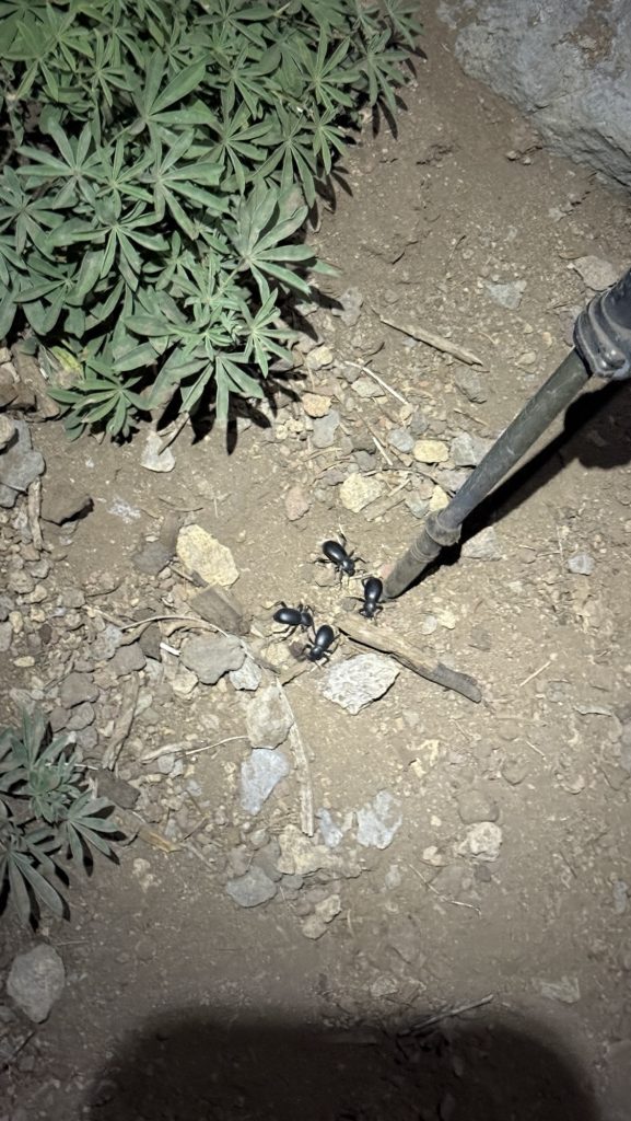
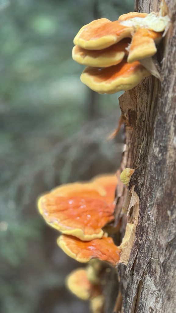
We saw carpenter ants eating through a dead tree and throwing out sawdust (took a video) in a very efficient way. Nature is showing us fascinating things every single day!
Had lunch on some rocks – after finishing our “climb” for today. We have to ration lunch food a bit because we have a lot of snacks but only 6 tortillas and 5 chicken packets for 3 days – we would need 12 tortillas and 12 chicken packets. We have trail mix, and beef jerky to supplement with so it ll be fine.
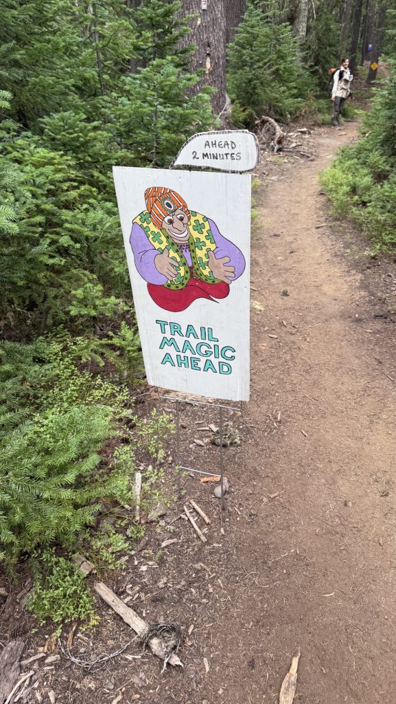
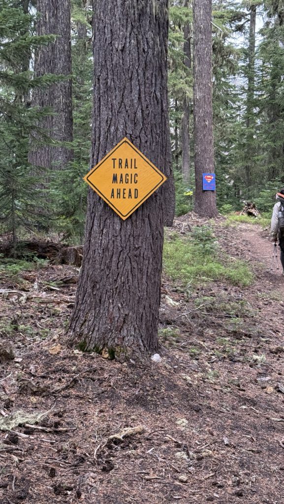
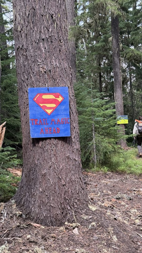
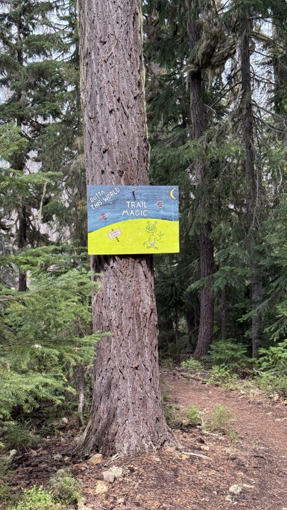
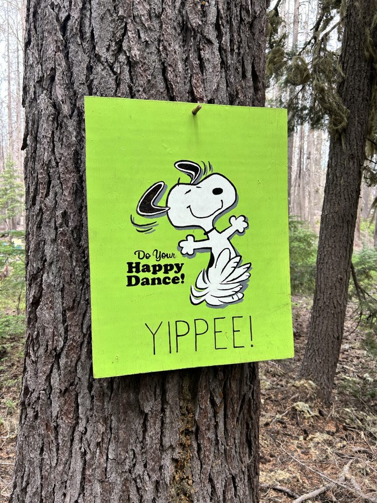
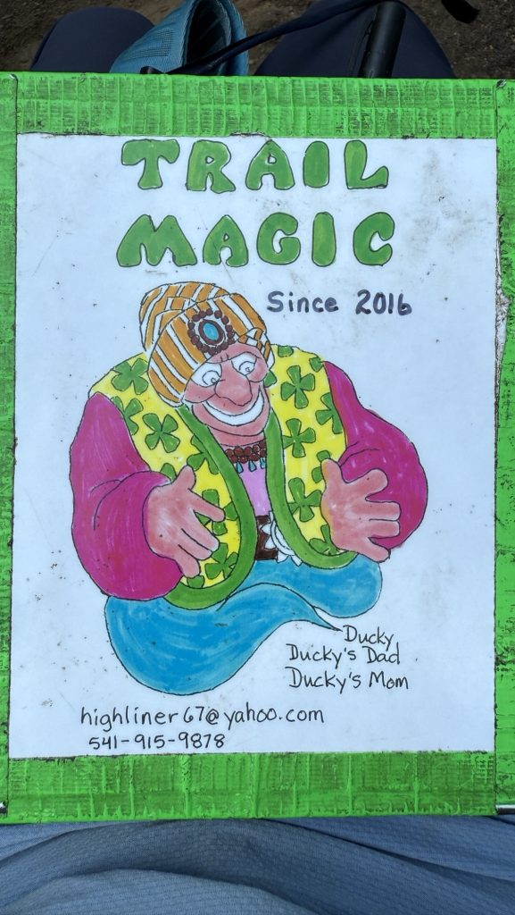
Just as we were talking about rationing food, these beautiful colorful signs started showing up every 10 m. We thought we were hallucinating but it was real! trail Magic!!
Stats:
Miles hiked: 24.06
Ascent: 2929 ft
Descent: 2834 ft
Day 108: 1955.5 Elk Lake Resort (22.28 miles)
Alarm went off at 6am, we hiked out at 7.11am. I actually left without iceman for the first time because I was ready to go and the moskitos were so bad. We met at the next water.
It was hard today and we both felt sluggish. Time and miles weren’t passing. We talked a lot and eventually it started raining really hard and we got totally wet. But it was so much fun!! We jumped in the puddles and walked right through them, with water up to our ankles as the trail turned into a river. A kid again at last! We became a trail maintenance crew and wherever pine needles and other debris clogged up the flow of water we’d use both of our poles, dug them into the ground forcefully and destroyed the dams to build little canals for the water to flow off trail.
We did this as many times as necessary; until the water gained momentum and carried the remaining debris off trail. Sometimes raging rivers would form as the huge and deep puddles on trail were finally liberated to flow off trail down the hill. This activity slowed us down immensely but we didn’t care, it took a few hours, we were having the best time. Iceman was in front of me and kept looking back, shaking his head and laughing but eventually he joined in and we broke down dams together.
We got to Elk lake Resort around 5pm and everything hurt. We haven’t had a zero since Ashland- 10 days or so? We’re looking forward to reaching Bend in 1.5 days – 29 miles.
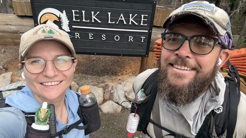
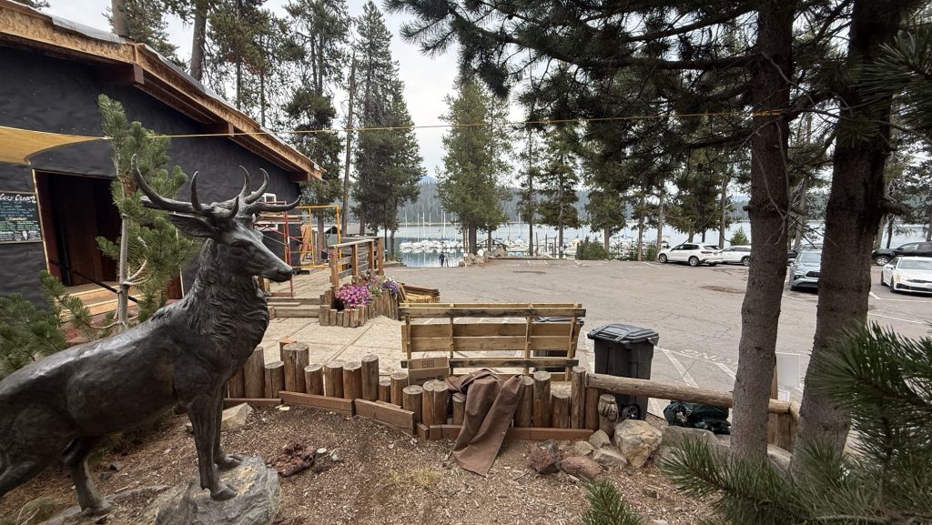
We had a good pizza there and some drinks and got back on trail – 1.8 miles back to the PCT.
We found camp just when the sun was setting at 7.57pm. Right next to the trail. But for free (not 20$/person like at Elk Lake Resort) and not 1.8 miles from trail but on trail! Yay!
21:15pm – exhausted but happy
Miles hiked: 22.25 miles
Steps: 46.523
Ascent: 2063 ft
Descent: 2683 ft
Day 109: Minnie Scott Spring 1977.7 (22.4 miles)
Left at 9.15am – took it slow. We hiked through beautiful forests and met “Grey Salamandar” – a section hiker – a few times who shared his snacks with us.
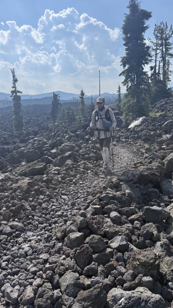
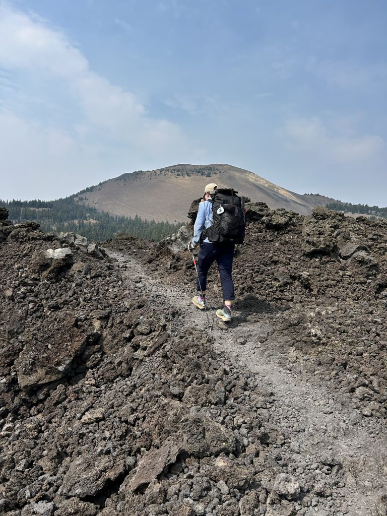
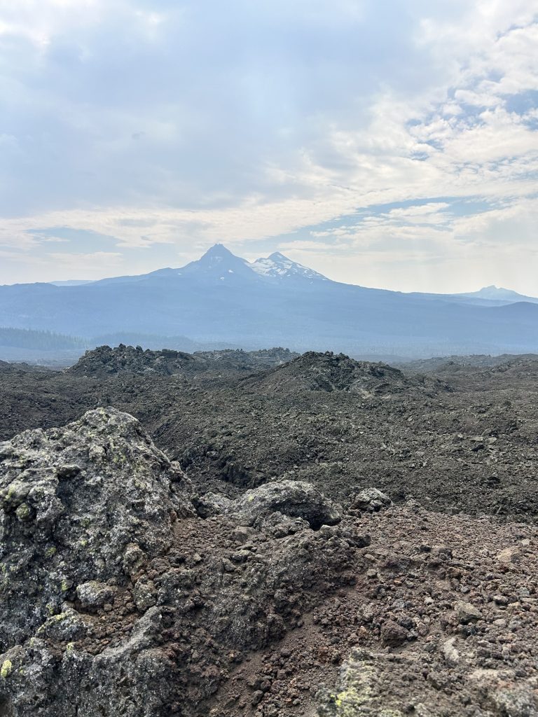
We had late lunch at 13.30 and after that hiked along the Three Sisters the rest of the day. It was rough on the feet – lots of volcanic rocks but really beautiful. We hiked into the evening and had the most amazing sunset.
Miles hiked: 22.4
Steps: 47.496
Ascent: 4014 ft
Descent: 2786 ft
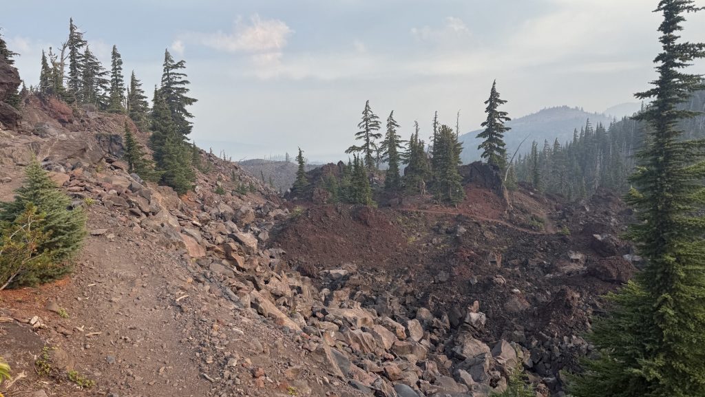
Day 110: 1985.3 Bend! (7.5 miles)
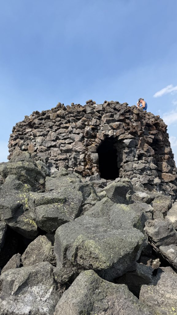
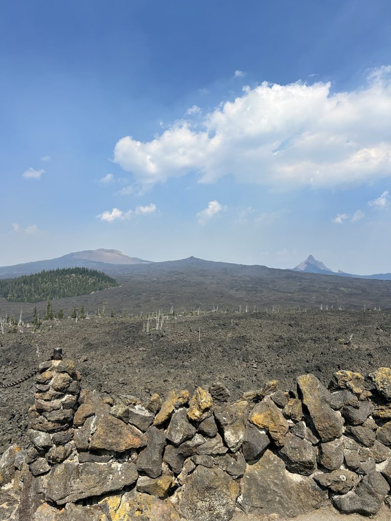
Got up at 6am, left at 7am. It was really smoky. We hiked 7.5 miles through beautiful volcanic rocks and got to McKenzie Pass/Dee Wright Observatory at 11.00am.
A nice lady called Katie gave us a ride to Sisters and en route offered to bring us all the way to Bend.
We got to the hotel at 1pm. Iceman’s parents had booked a really nice hotel for us so we were in for a treat: right in downtown with a hot tub and pool
We took a shower and went to the post office and wallmart, to resupply for Washington, we bought 4 weeks of food so filled both our empty backpacks with food.
Day 111: Zero in Bend!
We sent our packages and then met Kate for lunch! it was so good catching up with her. We hadn’t seen her since Kennedy Meadows South as well, over 1200 miles ago but we kept in touch and almost saw each other almost, like in Ashland when she hitched a ride to the hotel with the lady that dropped us of at trail 5 min before.
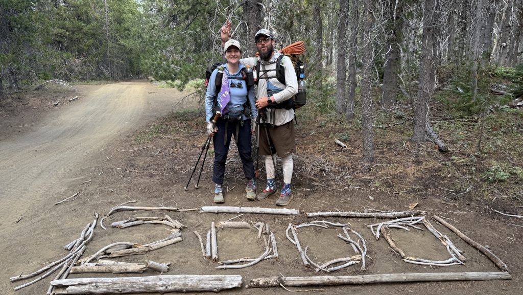
Day 112: 2012.5 27 Miles out of Bend & 2000 miles marker (longest day yet)
We got up at 7am, packed and had breakfast at the hotel. We arranged a ride to McKenzie pass with trail angels Angelique and Adrian at 10.15 from Thump coffee downtown Bend. Kate met us there. We dropped her at Sisters where she planned to hitch a ride to Santiam pass, 17 miles up trail.
We got to the trailhead around 11.00 and there was trail Magic by Tracy and Caroline. We had a soda and a quick chat and hiked off, 11.30ish.
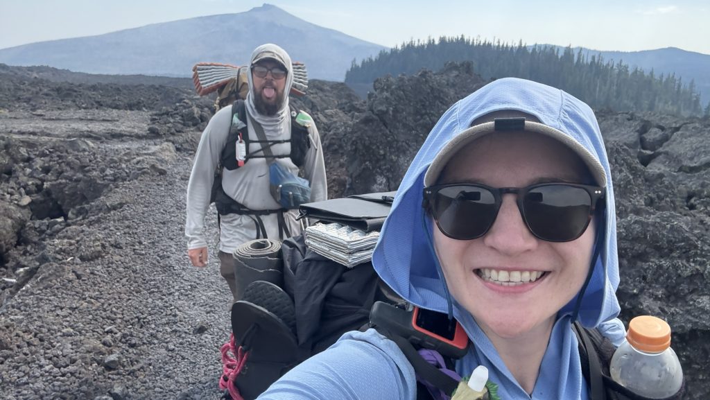
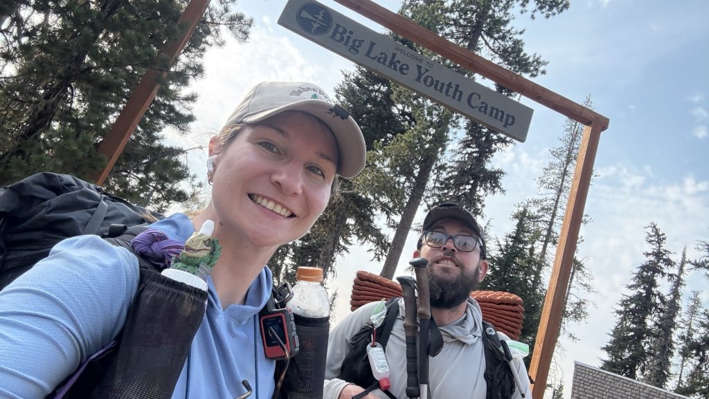
We hiked through burn areas and beautiful scenery and felt strong. Our goal was to hike 30 miles but with such a late start that meant hiking until 11.00pm. We had a warm lunch at the Big Lake Youth Camp, which has a great PCT building with an electric cattle, and I made 4 tortillas with cheese and pepperoni for dinner.
Shortly after leaving BLYC, we passed the 2000 mile marker. Wohoooo

We hiked till it was dark and some more. We ate the tortillas while hiking around 9.00pm and stopped hiking at a lake around 10.30pm at mile 2012.5.
Stats
Miles hiked: 27.01
Steps: 57.945 phew
Ascent: 3812 ft (lots of elevation for such a long day)
Descent: 3667 ft
Day 113: Mile 2031.7 (19.38)
We left at 8.15am and hiked through beautiful sceneries.
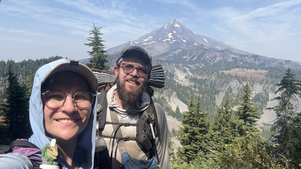
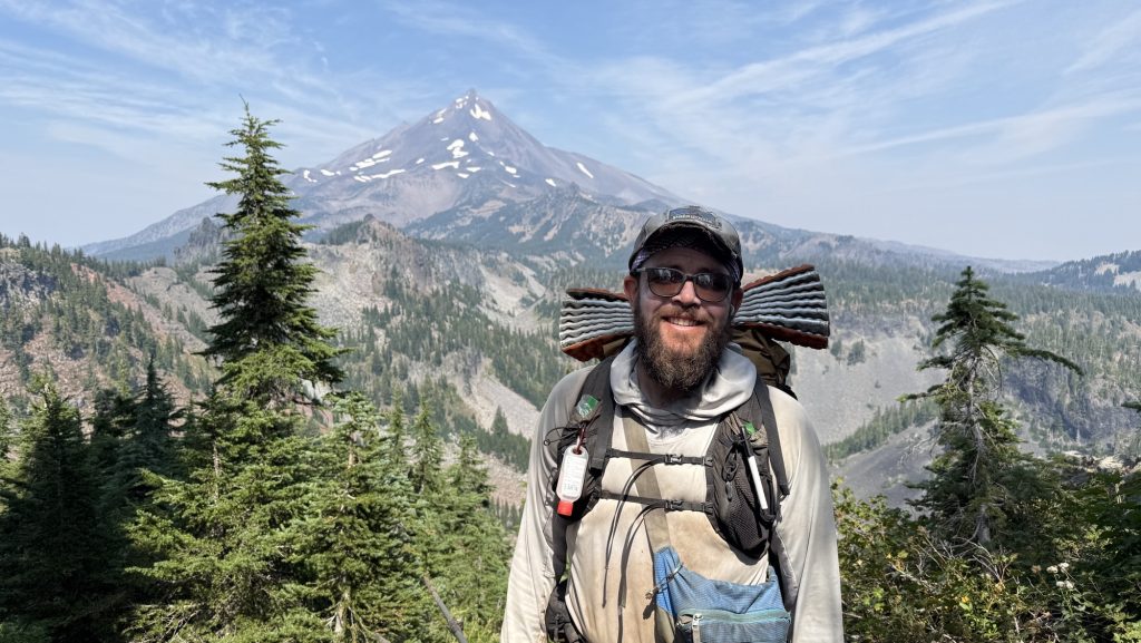
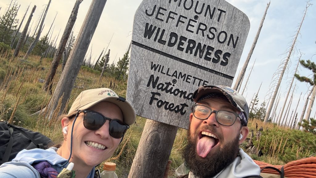
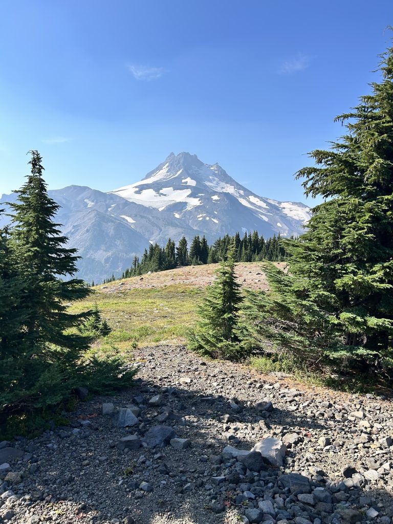
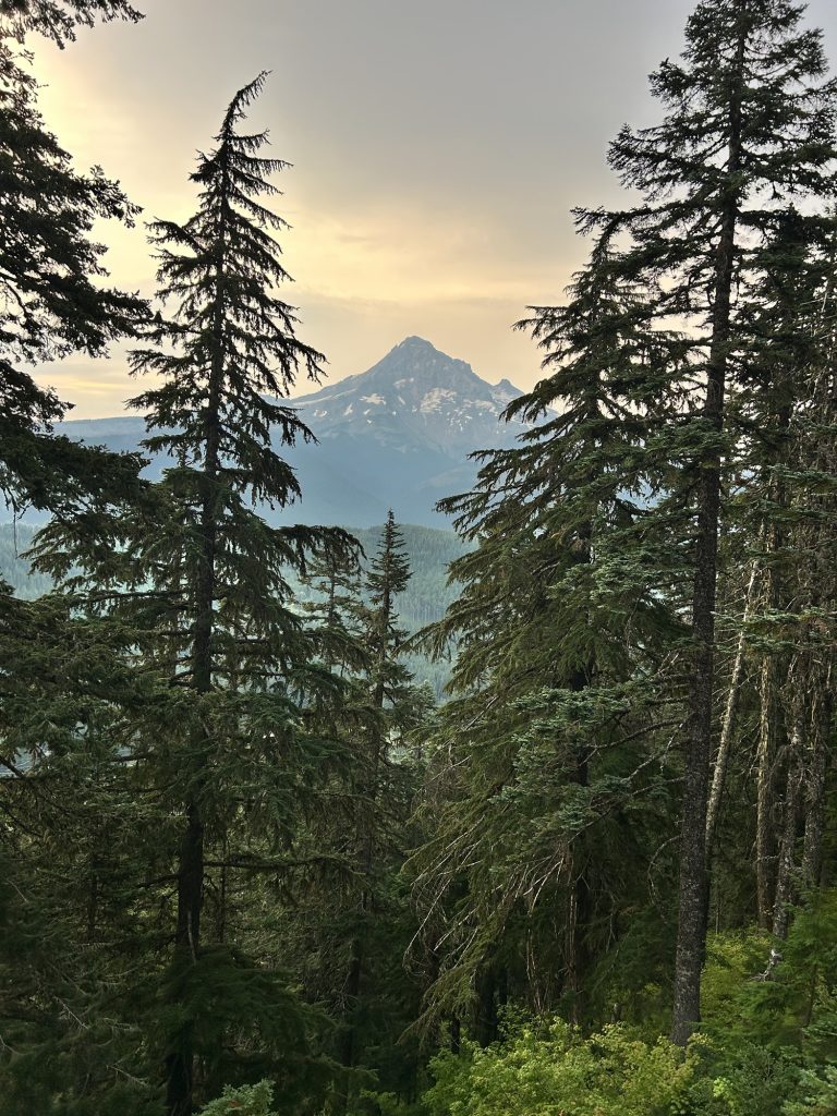
Got to Shae Lake at 14.45 with Great views of Mt Jefferson. It’s a beautiful pointy mountain, listening to Player of Games, a sci fi book.
We got to camp at 6.30pm, a bit early, as all campsites the next 10 miles are in dead fall zones, so we decided to camp here. Because we were also tired from the previous 27-mile day.
Stats
Miles hiked: 19.38
Steps: 40.333
Ascent: 2785 ft
Descent: 3369 ft
Day 114: 2061.4 First 30 mile day (29.81)
We hiked through Mt Jefferson Wilderness area which is really beautiful – I love it. Since it was a long weekend, there were many day hikers and even hunters here
Camped on top of hill, got there when it was dark.
Miles hiked: 29.81
Steps: 60.864
Ascent: 4468 ft
Descent: 4363 ft
Day 115: 2089.7 Frog Lake (29.65 miles)
Left at 6.42am. We hiked 15 miles before 1pm. Good to get half the days miles out of the way before lunch.
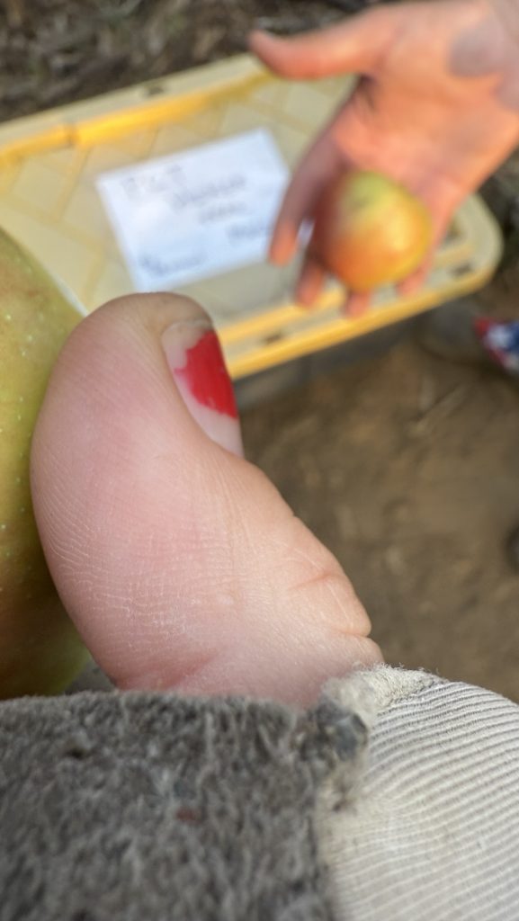
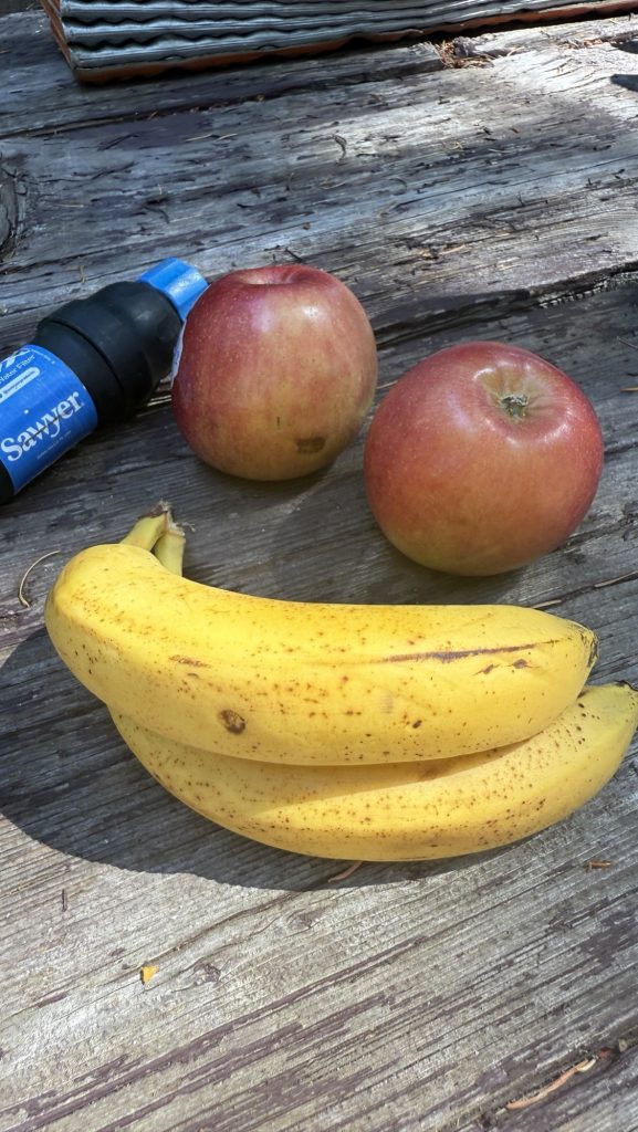
A lovely lady at the horse camp gave us 2 apples and three bananas – fresh fruit on trail is always a highlight since we’re eating only dehydrated or processed foods.
Second day doing 30 miles. Saw Mount Hood for the first time. Beautiful! Since we needed water, we had to camp at a campground. We got there in the dark. Price is 26$ per site. Wowsy! Some section hikers offered us to stay at their site for free which was really nice but we prefer to camp away from other hikers to get a good night of sleep. We didn’t pay.
Had dinner with “Meat Brick”, a nice guy from Olympia, WA we’ve been running into the last few days.
My feet really hurt today.
Excited for the iconic Timberline Lodge tomorrow.
29.65 Miles hiked
61.375 steps
Ascent 2845 ft
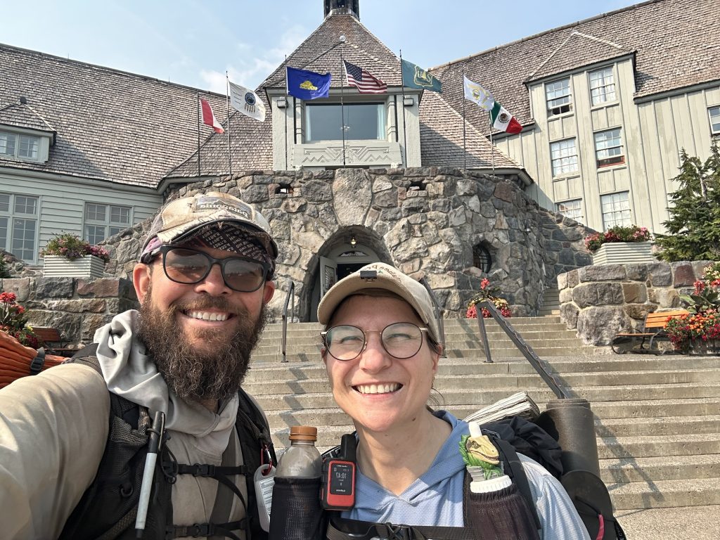
Day 116: 2117.3 Lolo pass (29 miles)
Left at 6.30am today. Got to Timberline Lodge at 10.45, just to learn the famous Buffett is closed from 11-12. We waited an hour to get the lunch buffet and it was well worth the wait.


Got to camp at 21.00, very tired. It was dark.
Did 28.97 miles
65242 steps
Ascent 5673 ft
Descent 6138 ft
Loooong steeeeeeep day. not sure how long I can keep this mileage up! But we have to get to Canada!! Ahh!!
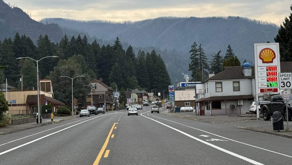
Day 117: Tunnel Falls / Cascade Locks / End of Oregon 2150 (27.3 miles)
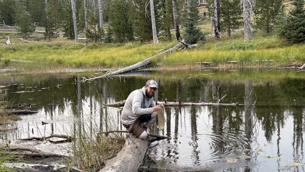
Alarm at 5, woke up very tired, didn’t sleep well. Since we dry camped, we packed up and left at 6.30am without breakfast. Hiked 0.4 miles to the next water, filtered 4l and had breakfast there.
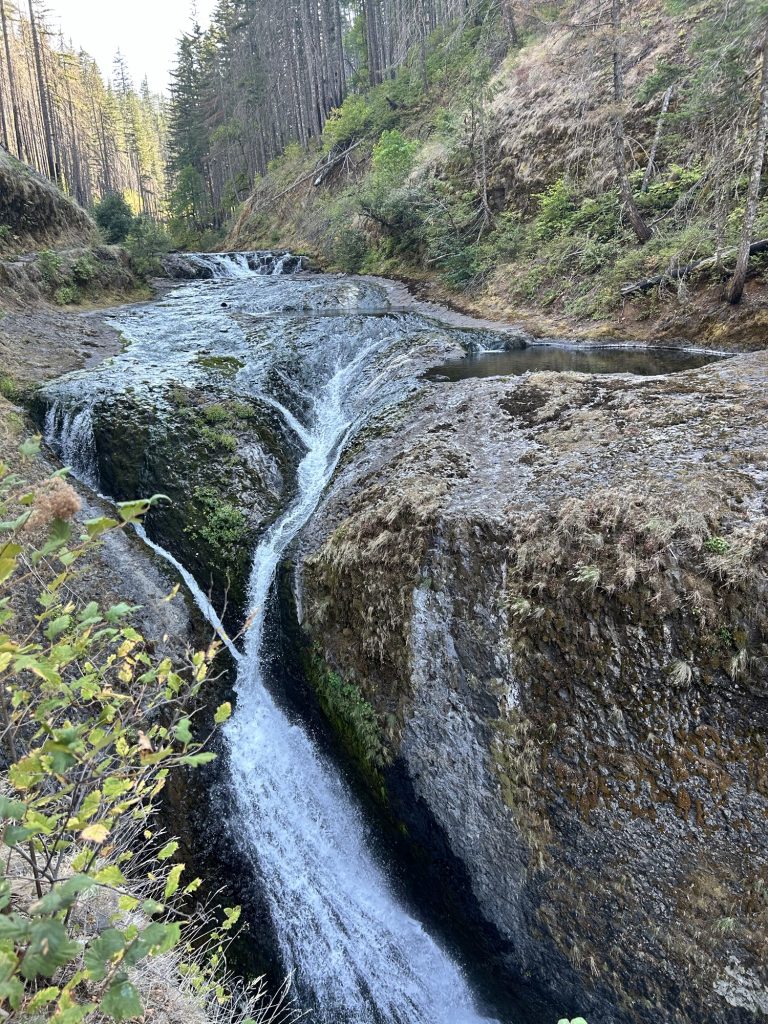
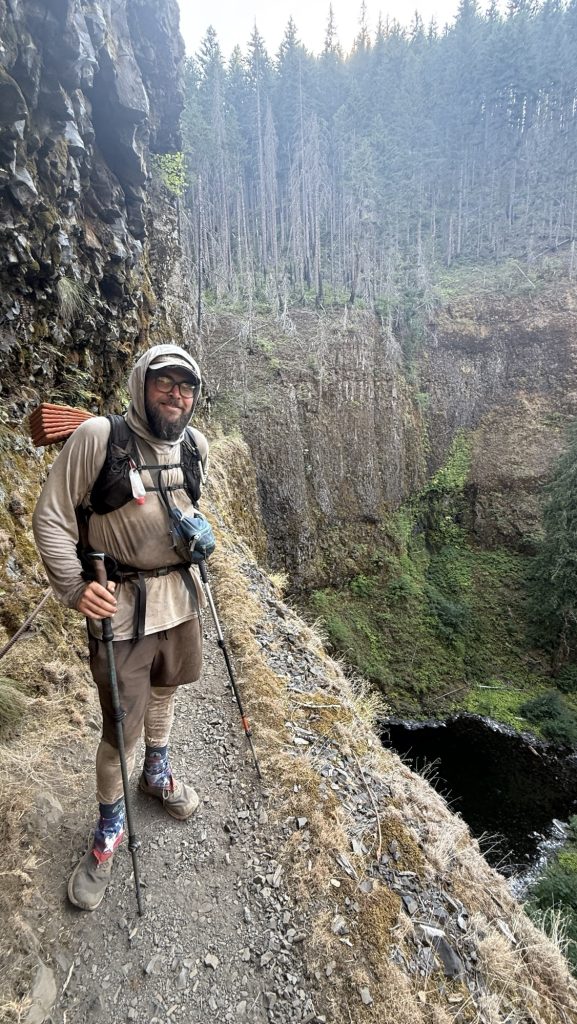
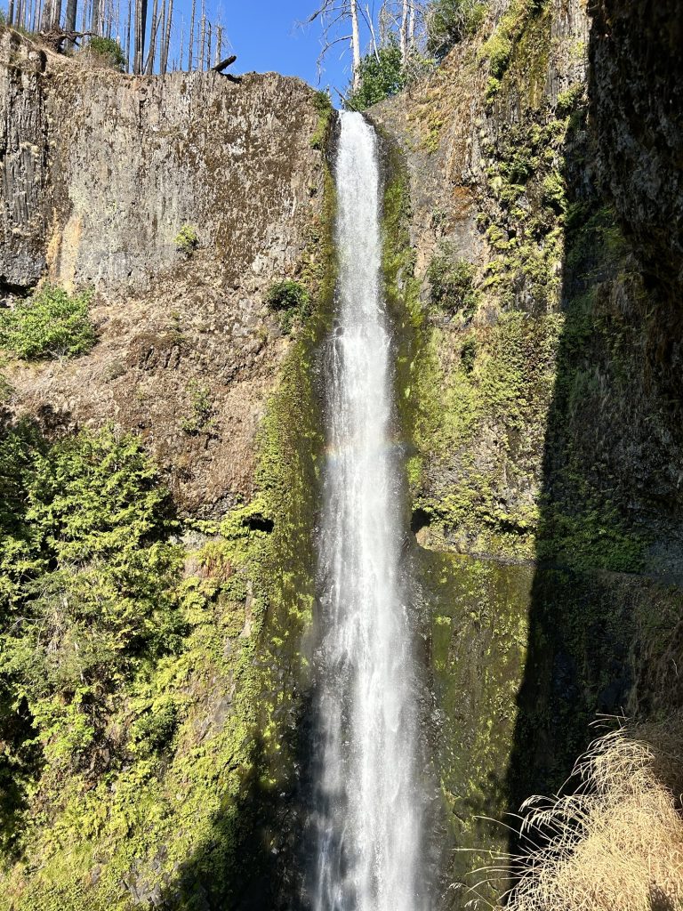
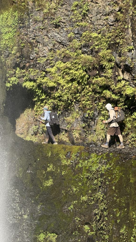
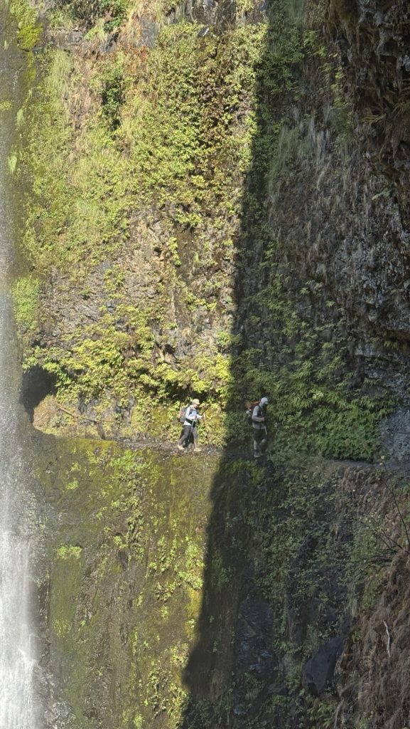
Took Eagle Creek alternate route to see Tunnel Falls. It was extremely steep at the top but it was worth it – we hiked behind a waterfall. Next to the trail a steep cliff – if you slip and fall it would surely be the end.
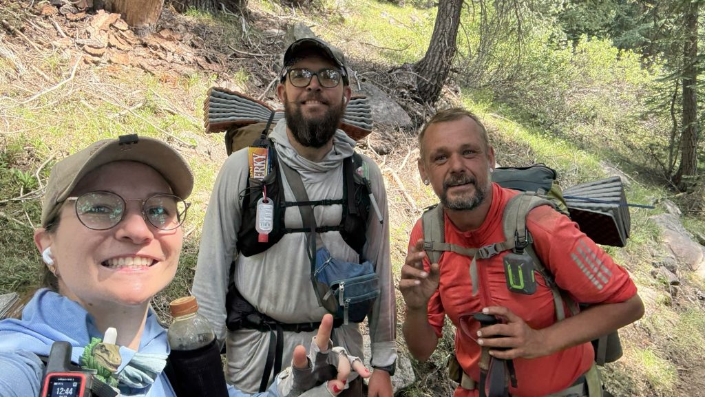
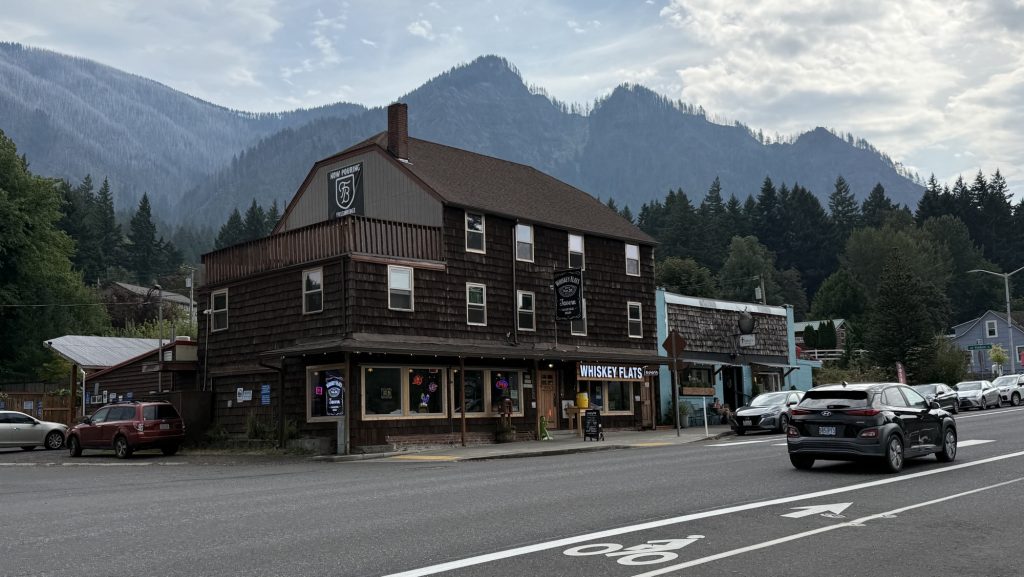
Made it to Cascade Locks around 6.30 and went straight to Whiskey Flats Tavern pub to get dinner, even though we usually like to shower and change first due to how filthy we are after 6h on trail. Kate had made it to Cascade Earlier that day and met us for dinner. Yay!!
Miles hiked: 26.44
Steps: 55001
Ascent: 2420 ft
Descent: 5716 ft (yup, we felt this)
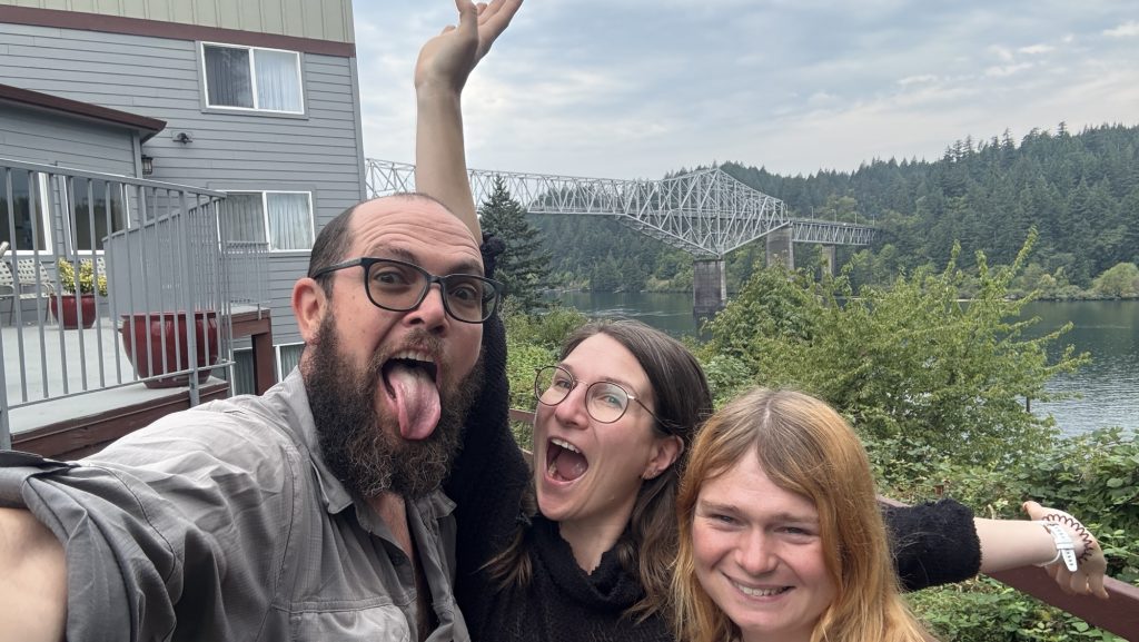
Cascade Locks is the lowest point on the PCT with 120 ft of elevation. This also means we gotta climb back up after crossing the infamous Bridge of the Gods and crossing into Washington state.
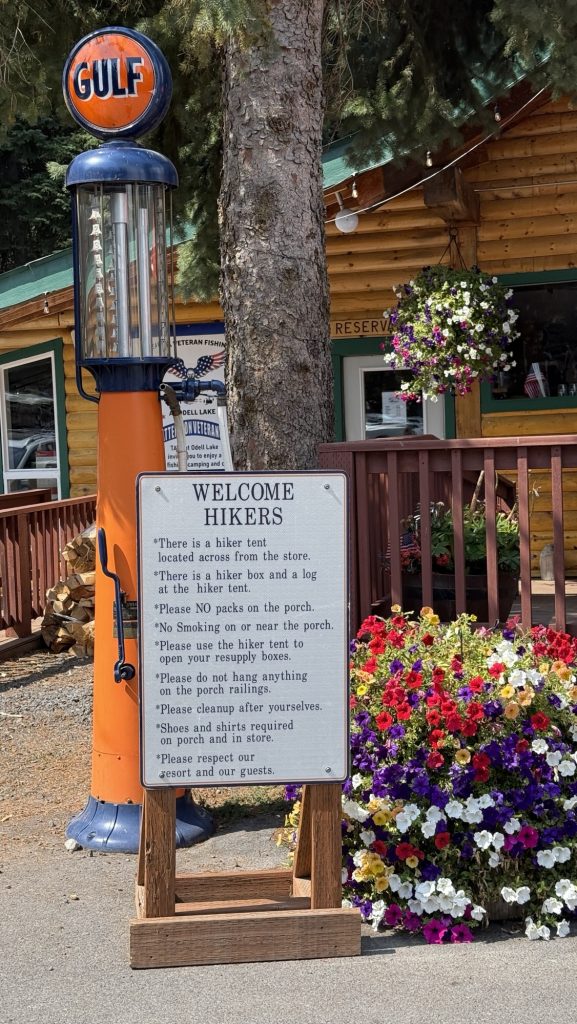
Day 118: Zero in Cascade Locks
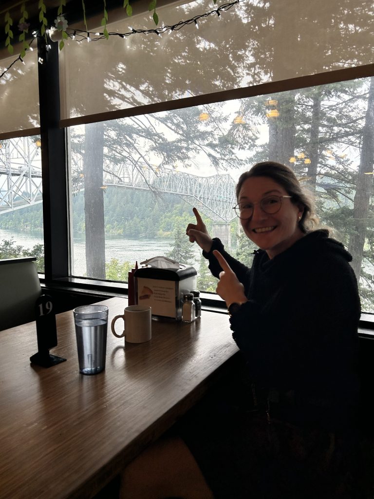
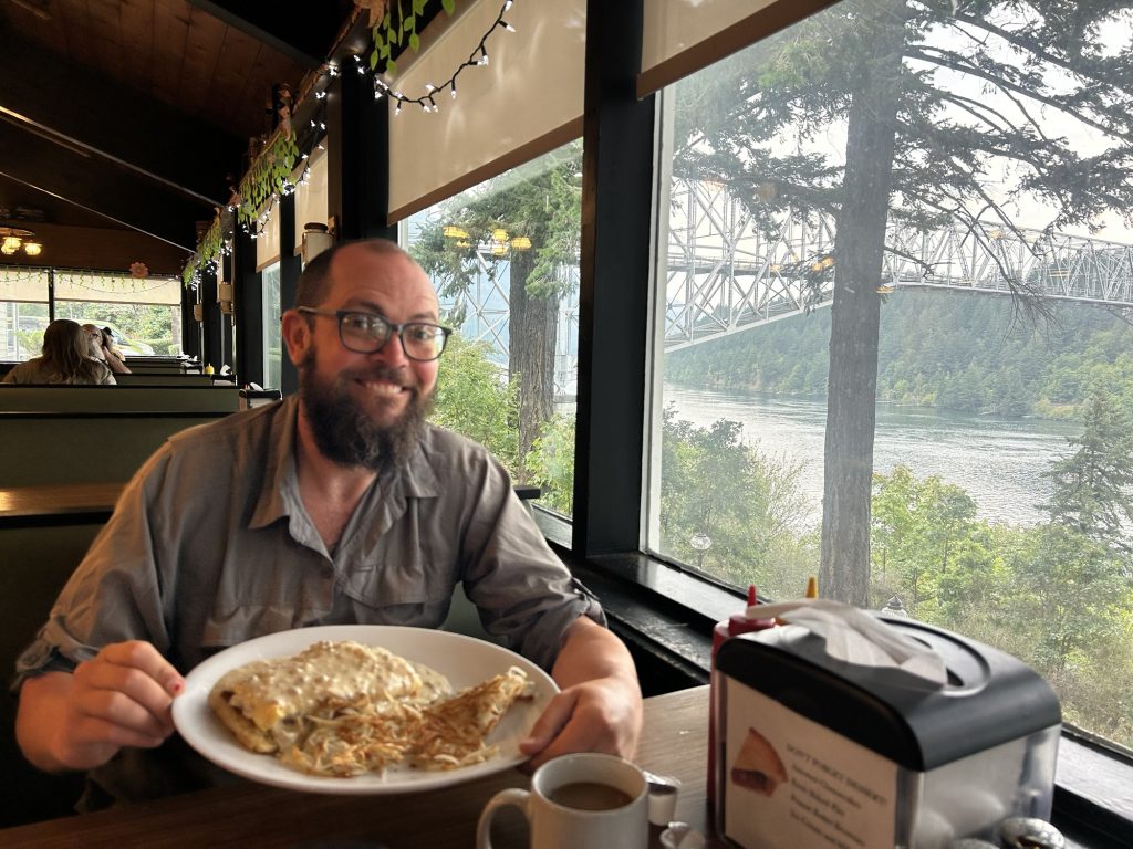
We slept in, which is 7am nowadays and met Kate for breakfast at the wonderful Bridgeside cafe, overlooking the iconic Bridge of the Gods, the border to Washington State. We were planning to hike it today but decided to take a zero as we felt so beat. Our bodies needed a rest after 5 dates of 30 miles a day.
After breakfast, we went to the room to relax and fix some gear. We got a burger and milk shake for lunch across the street at Eastwind Drive in
Thanks for stopping by and happy trails,
Disco
- Days 138 – 142: Canada!! (2575.1 – 2655.5 + 30)
- Days 135 – 137: PCT Miles 2500.73 – 2575.1
- Days 130 – 134: Snoqualmie to mile 2501.3 (2396.3 – 2501.3)
- Days 119 – 129: Miles 2150.3 – 2396.3 / Cascade Locks to Snoqualmie Pass
- Days 105 – 118: 1912 – 2150 / End of Oregon
Day 99: Fish Lake Resort 1774.9 (23 miles)
Longest day yet?
Left at 7.30am.
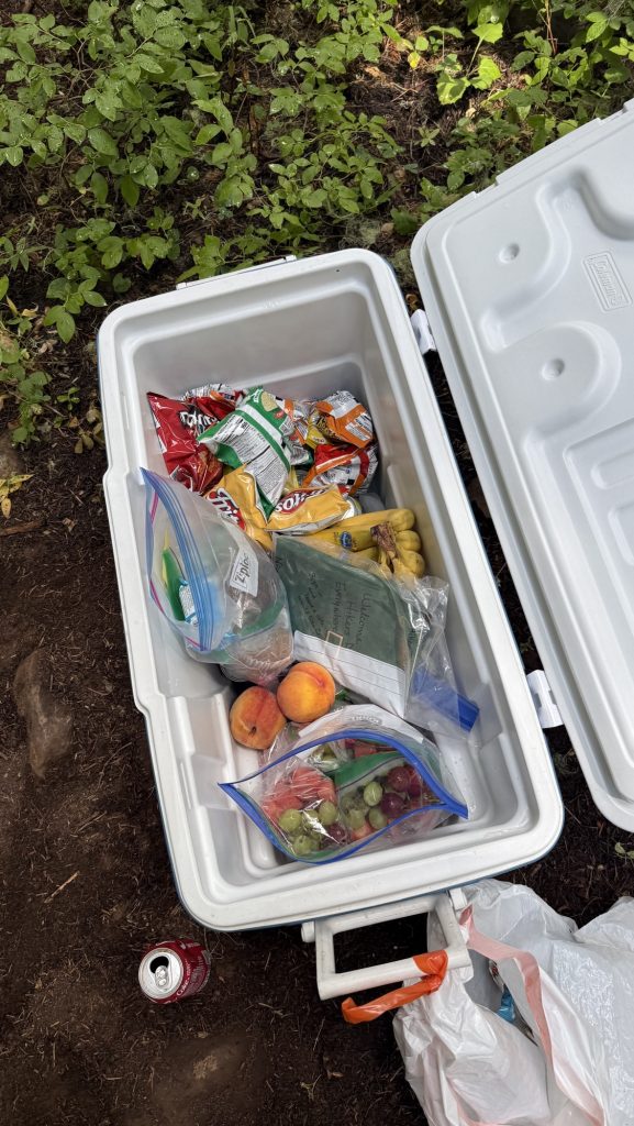
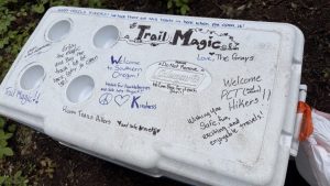
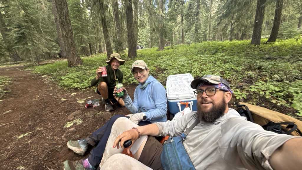
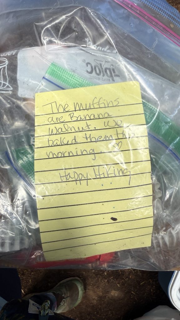
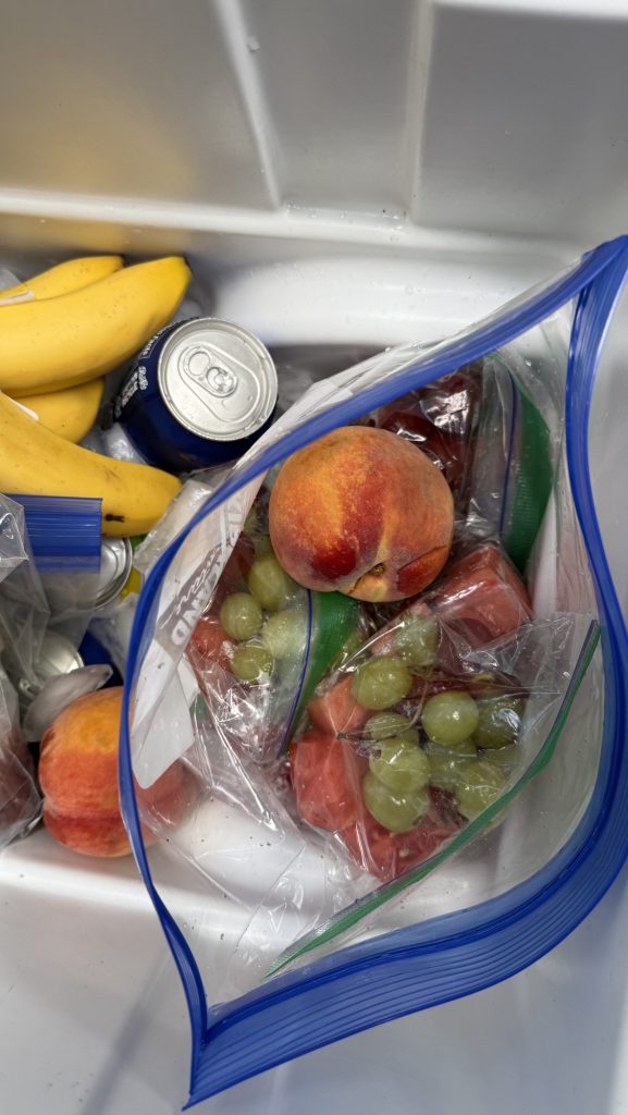
Was still wet, mostly in clouds and forest, had lunch at brown cabin and dried our things, met lovely couple from France hiking South Bound and exchanged best places to eat and stay up and down the trail, hiked around vulcano and then got really lucky with trail magic: someone just dropped off an ice chest filled with fruit and homemade muffins and soda and we just sat down right next to it with another hiker – it was wonderful! Fruit tastes so good after hiking for days and not having fresh produce!
At night, we got a hitch from trail to resort from Idaho couple and had shower and meal at Fish Lake Resort. Also took shower and camped there.
Days 32 – 37: Wrightwood to (374.0 – 452.9)
This is a longer post, covering multiple days, as I am changing the posting cycle to once a week roughly. Exciting news: we added a new feature: Now you can subscribe to get an email notification with each new post, more infos below. 🙂