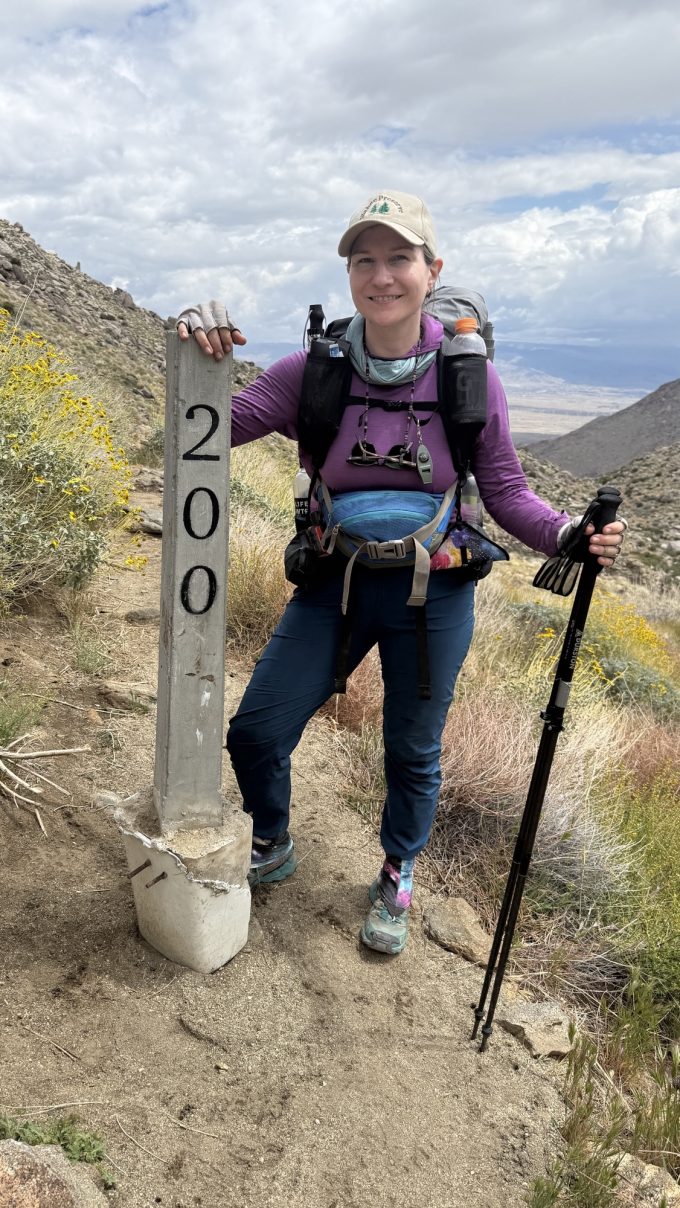
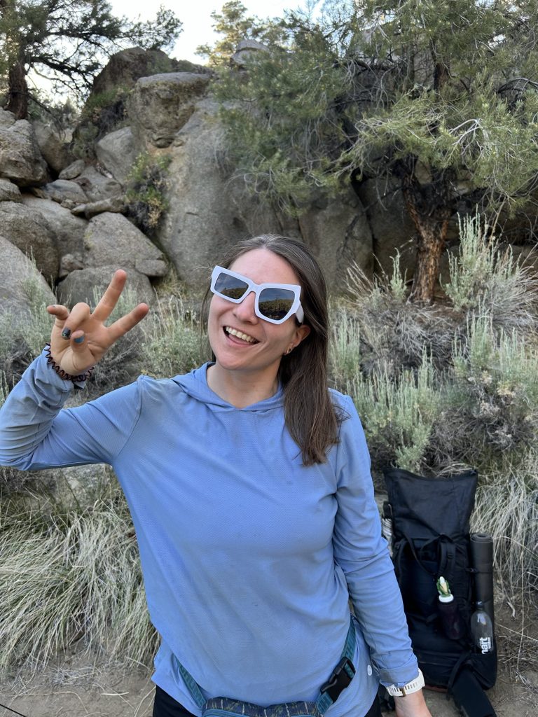
Day 56: Cinnamon & meadows (Miles 707.8 to 727.0)(19.2 miles)
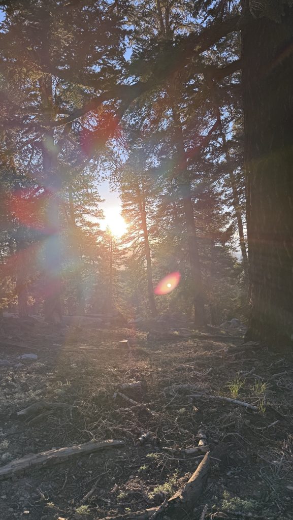
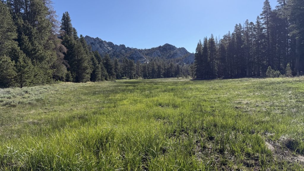
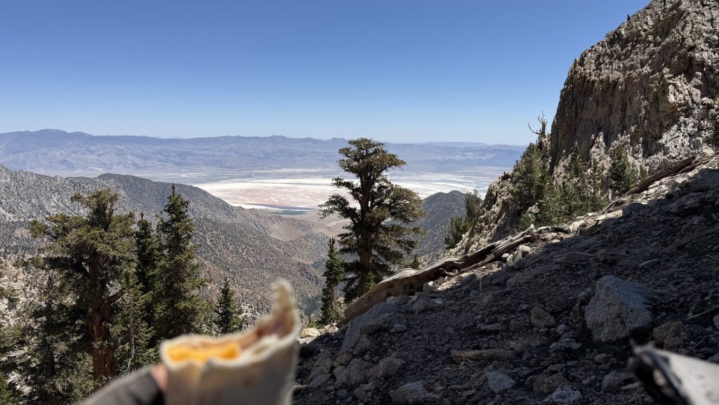
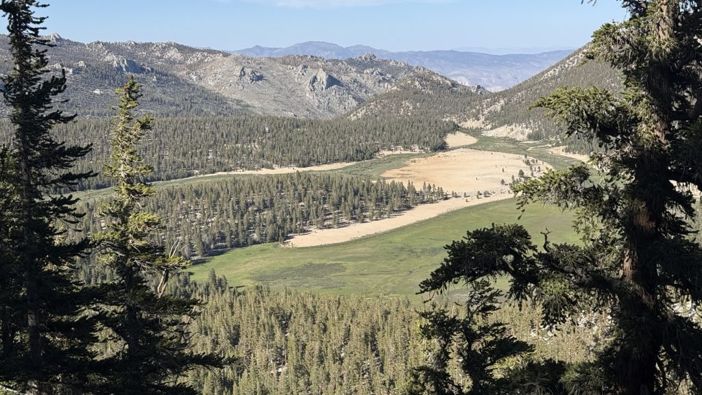
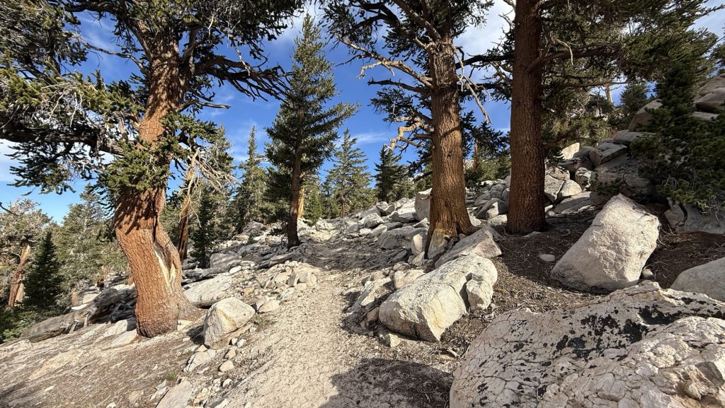
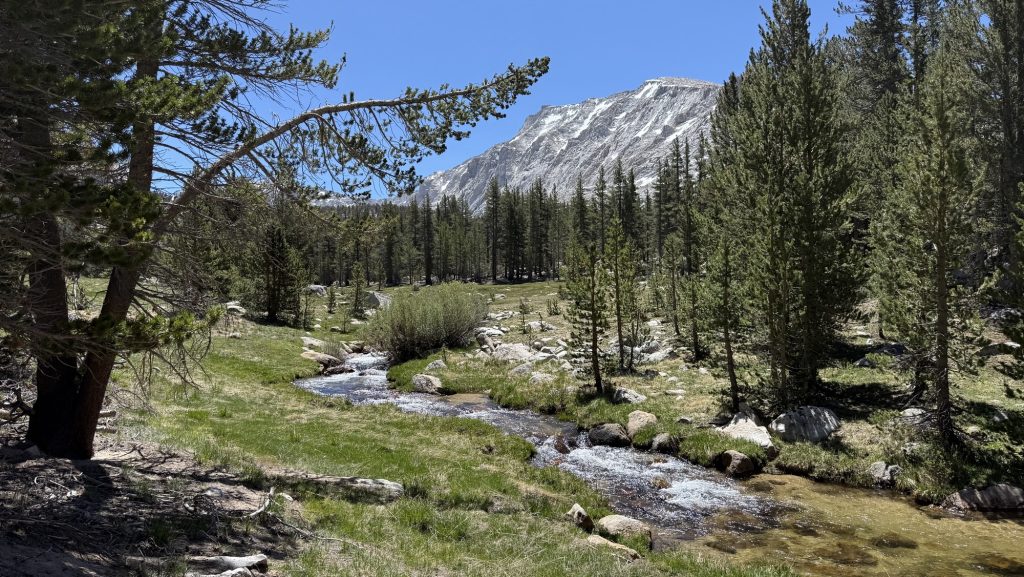
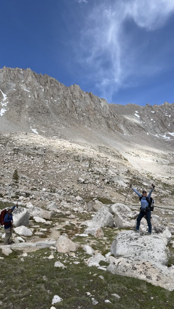
We hiked through a burn zone until 11 and it smelled like cinnamon and wood. Then we came into a big and glorious meadow of green grass and mountains in the back.
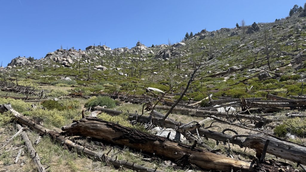
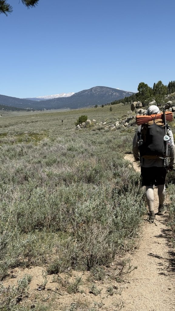
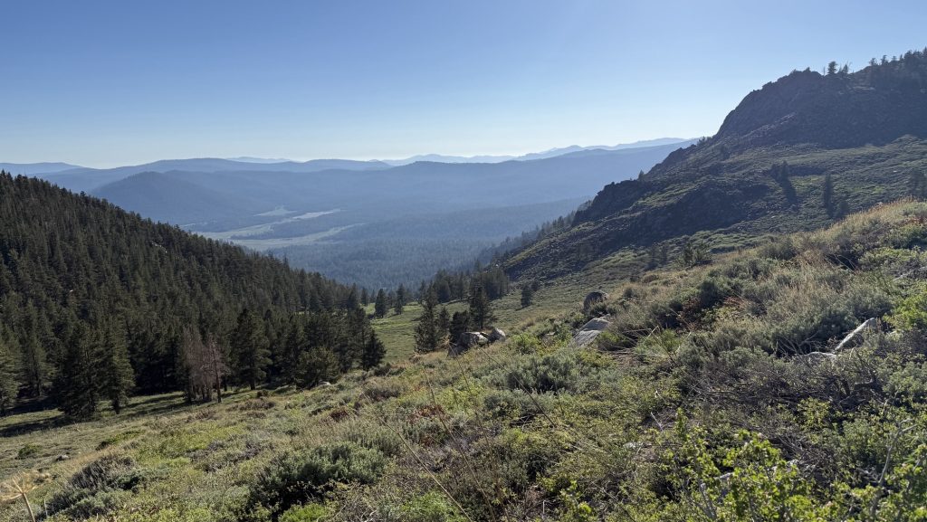
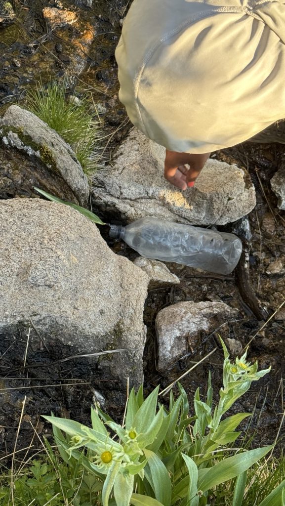
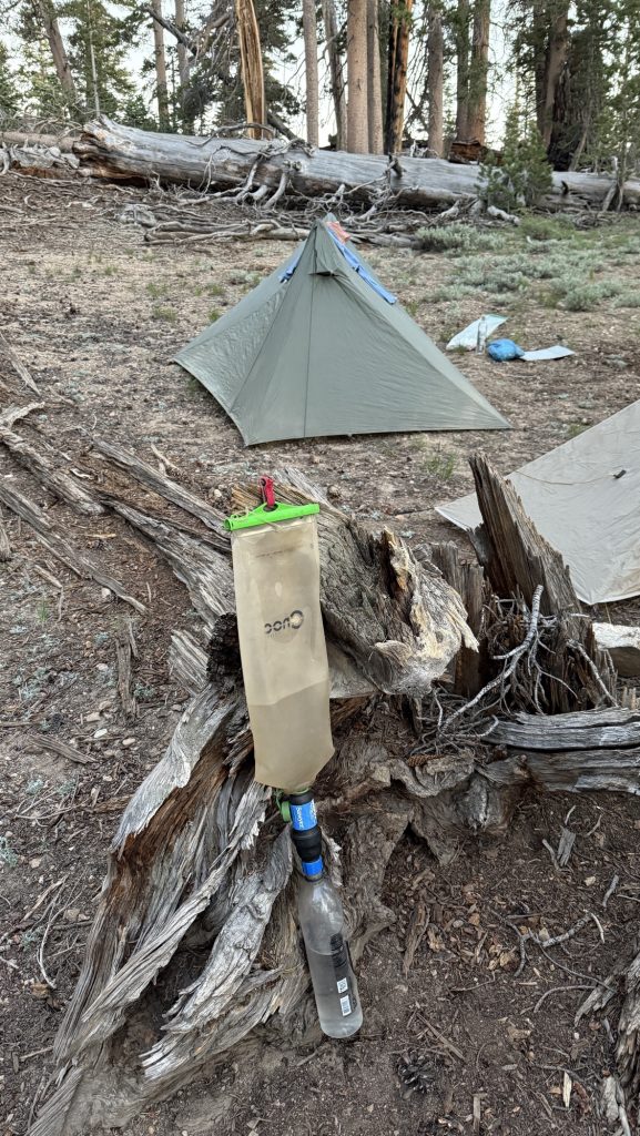
We had quite a climb and basically climbed up from 3pm to 7pm. We got to camp late because we didn’t bring enough water so had to keep hiking till the next water source and it was quite exhausting.
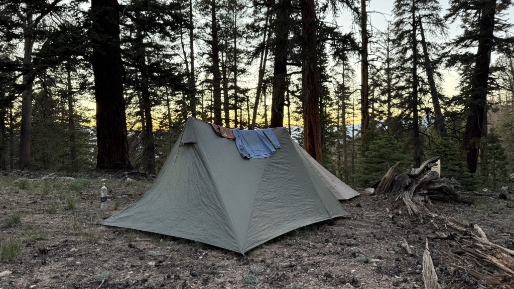
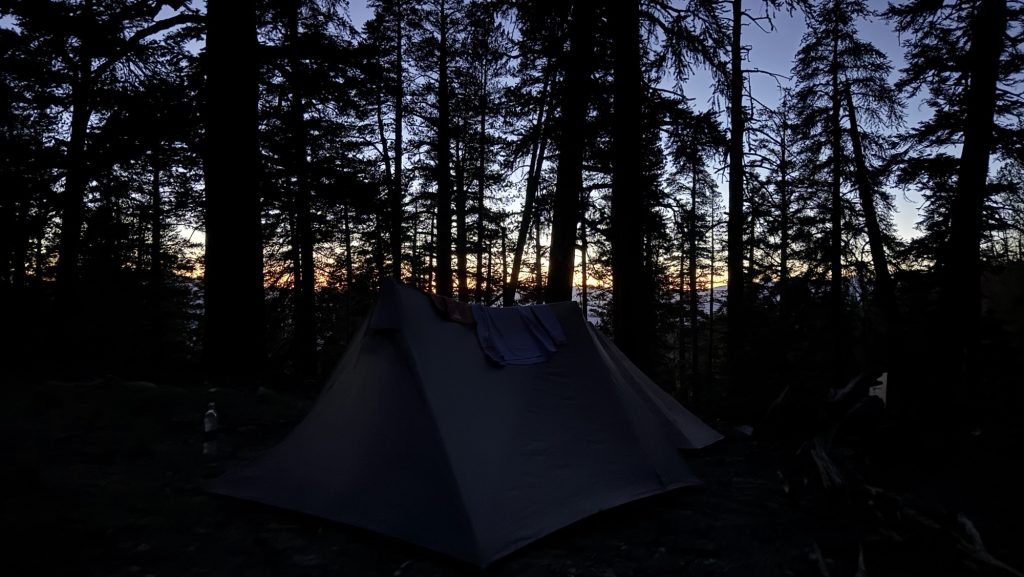
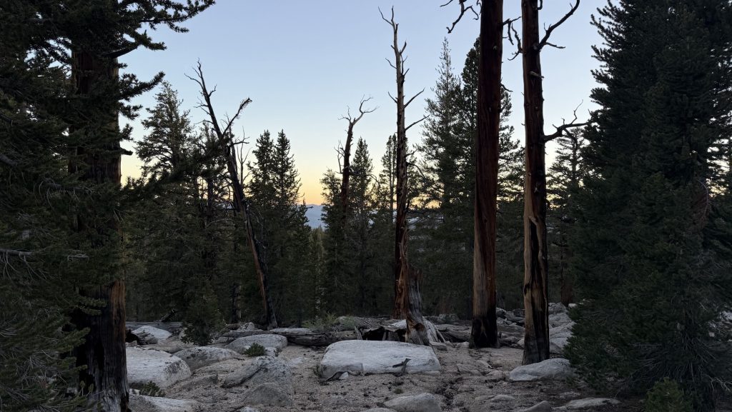
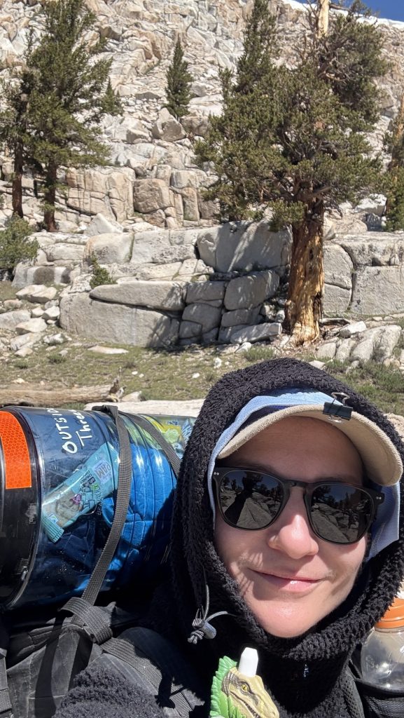
We’re at 10000 feet and there were so many mosquitos, but we had a beautiful sunset through the trees.
It was an incredibly beautiful day. Probably the most climbing we’ve done on the PCT yet. We were exhausted.
Ascent: 5200 feet
Steps: 47814
Miles: 20.9 miles
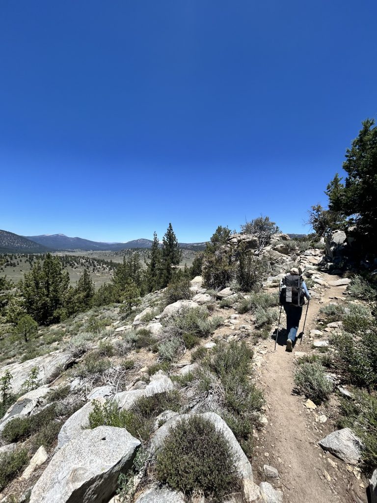
Day 57: Glorious hike to Cottonwood Campground and hitch to Lone Pine (Miles 727. to 745.7) (21.77 miles)
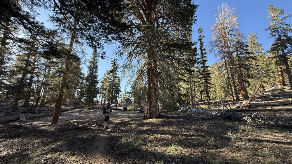
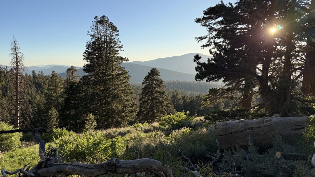
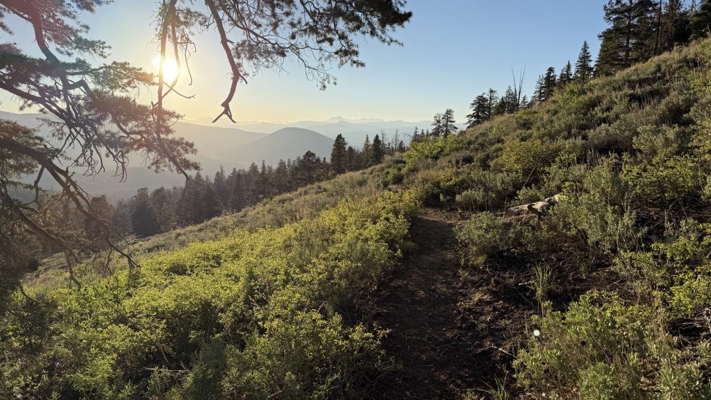
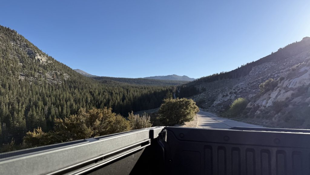
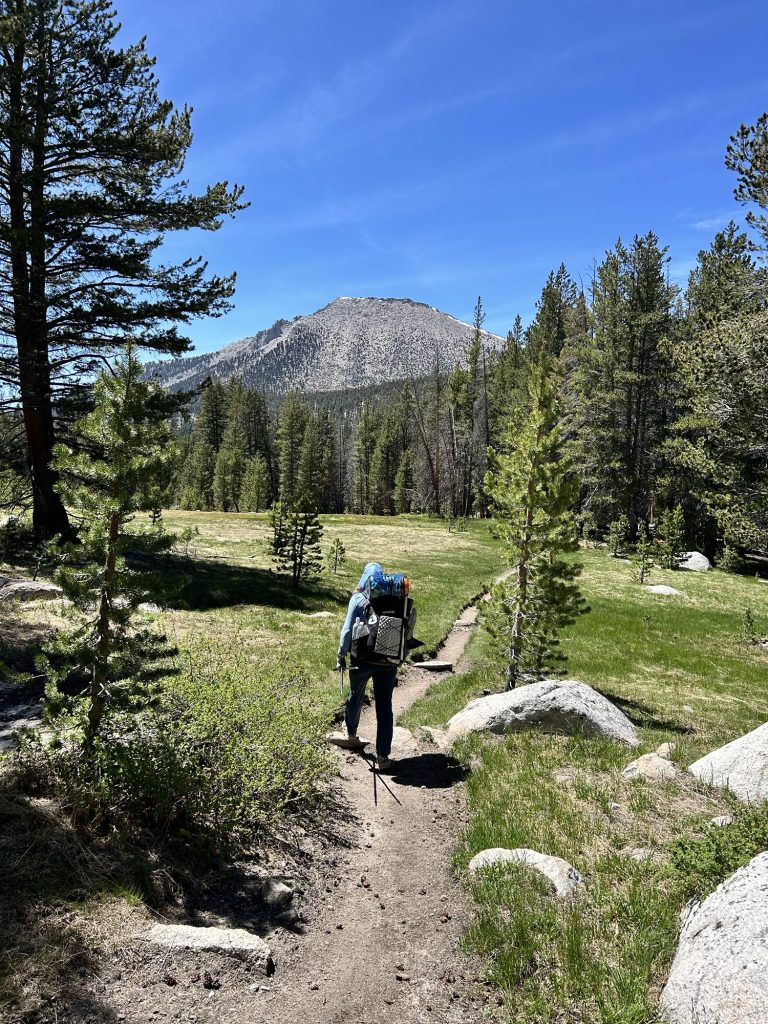
We started hiking at 8am and hiked all day together. The scenery was incredibly pretty all day long.
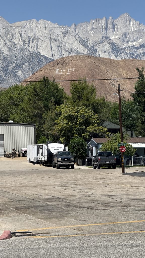
We got to Cottonwood Canpground (in the middle of nowhere) at 6.00pm and tried to find a hitch to the closest town Lone Pine.
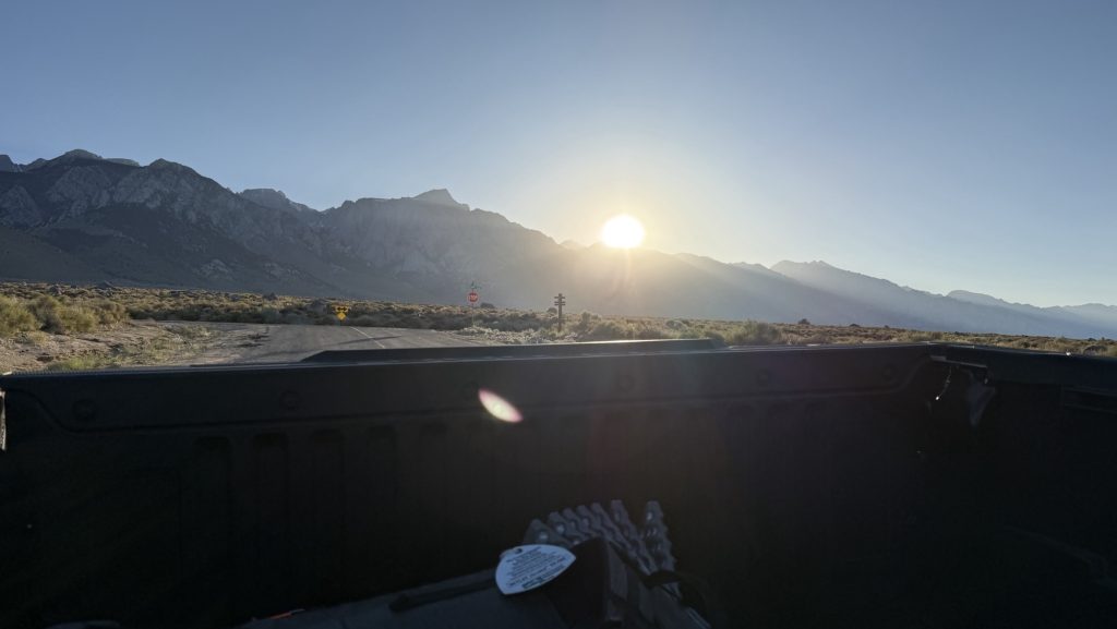
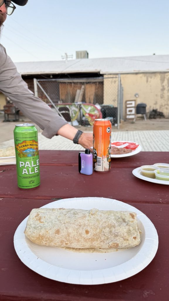
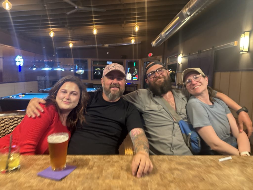
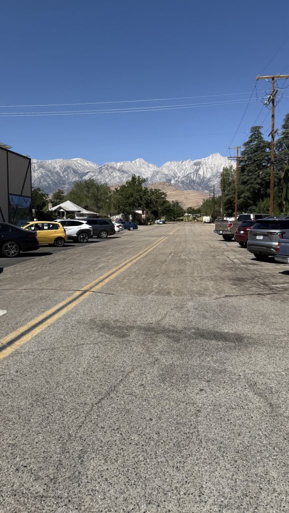
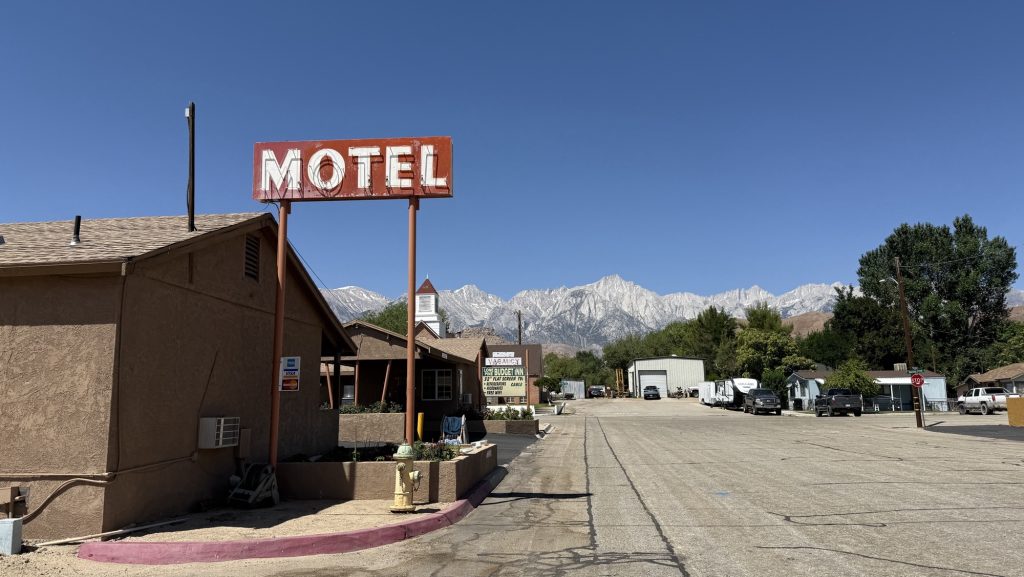
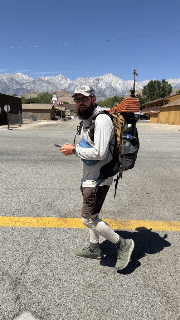
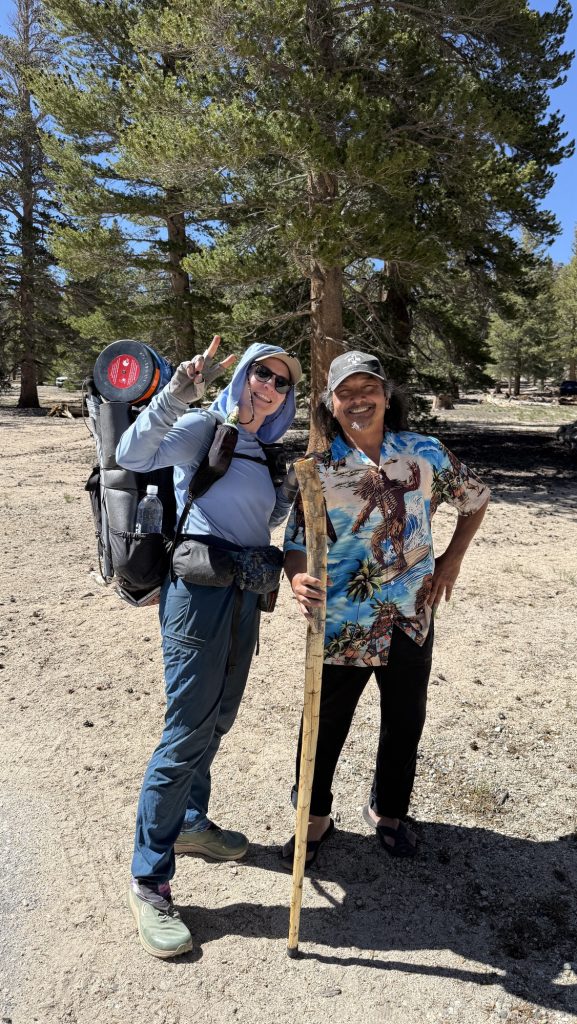
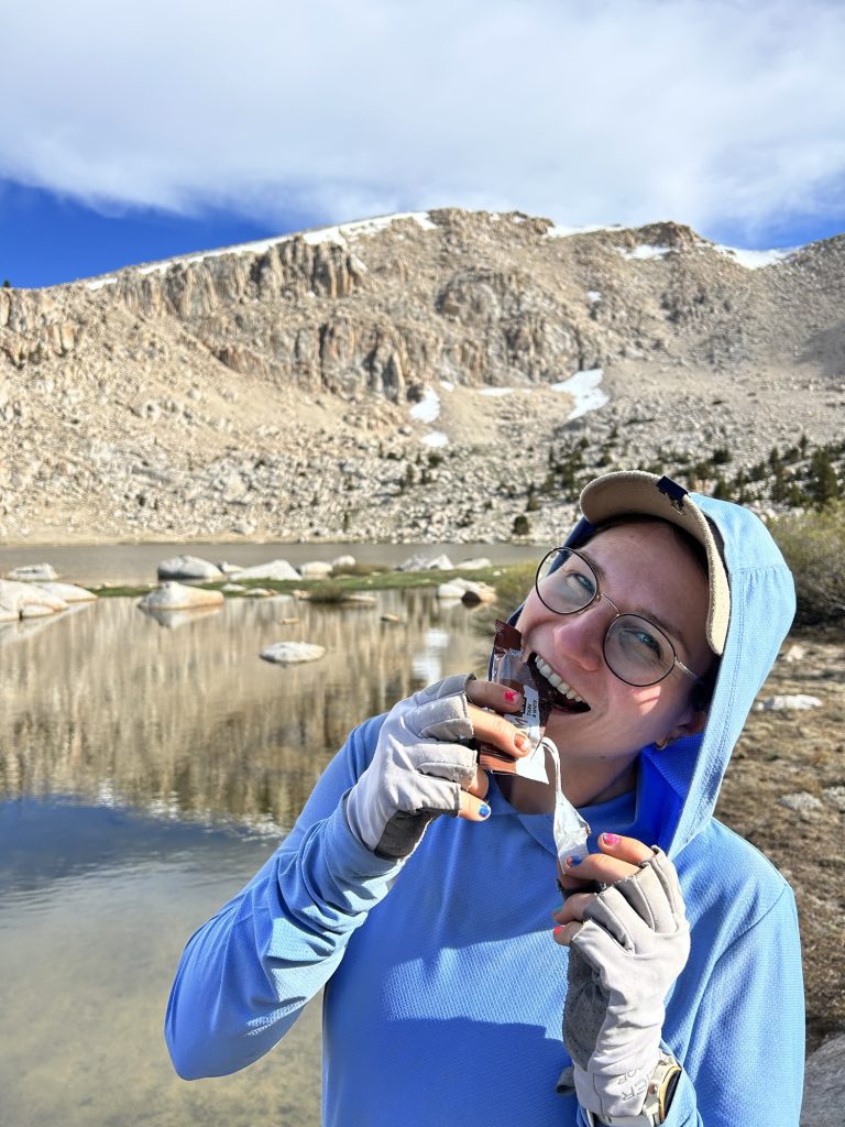
We sat down under a tree at 6.00pm and put our thumbs out, not confident we would get a hitch that late at night. Some Israeli hikers stopped driving into the campground and asked if we’re alright and we said we ran out of food so they parked and gave us a bunch of backpacker food in ziplock bags. So nice!! Just in that moment, a white truck drove by and stopped: we jumped in the back of the truck and rode an hour to Lone Pine through the most beautiful sceneries. Othello picked us up at 6.45pm – shortly after that, we stopped again and it was our friend Shredded, whom we had been hiking with. we drove to a motel and took Othello out for dinner and drinks at a Mexican place.
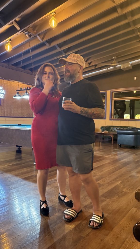
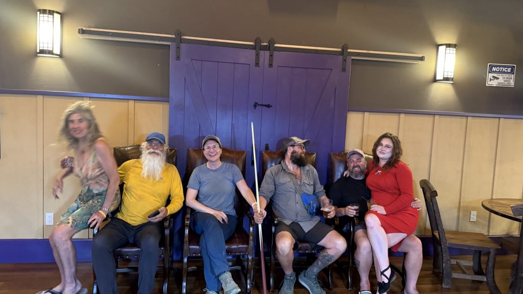
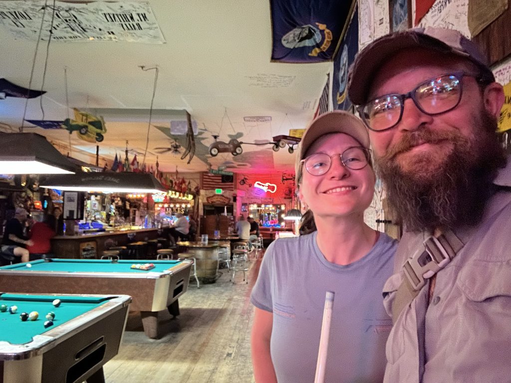
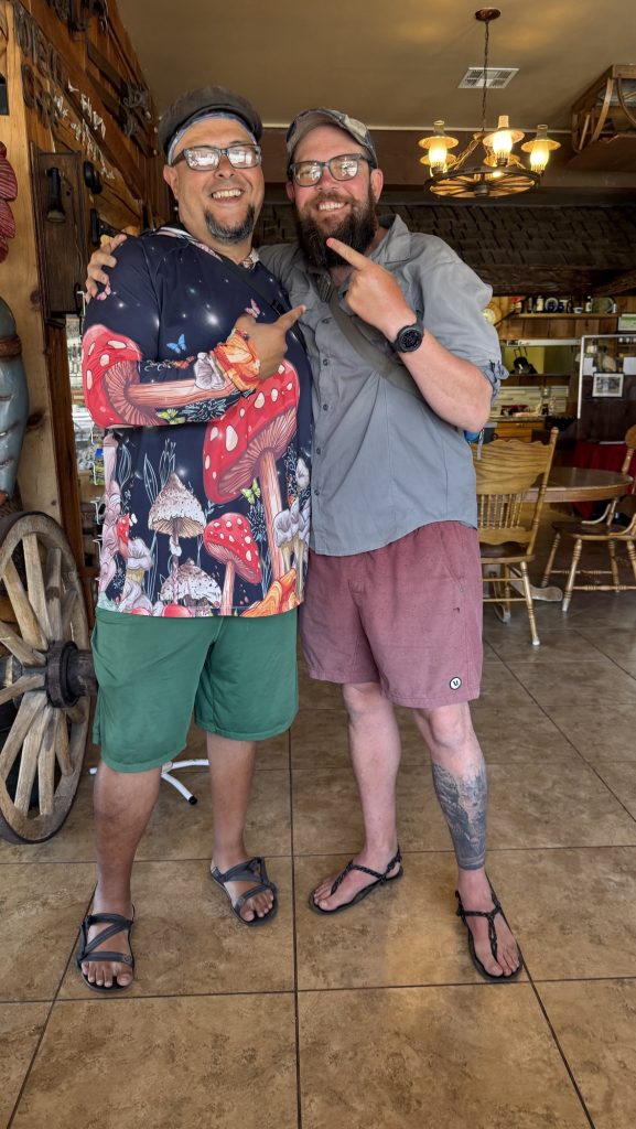
Afterwards we went to Jake’s saloon and played pool, like in every town we find a pool table and we thought we were the only hikers there when a man approached us and asked if we’re PCT hikers? He recognized our shoes – Topos – which is a popular through hiker brand. His name is HelloKitty and he is a hiker too but we didn’t recognize him and he too was wearing his clean town clothes and was with a beautiful lady in a red dress that no thru-hiker would carry. We went to another bar together and decided to continue hiking together the next day.
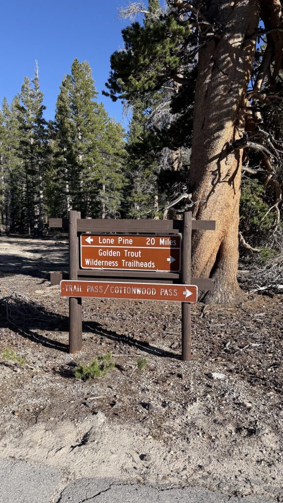
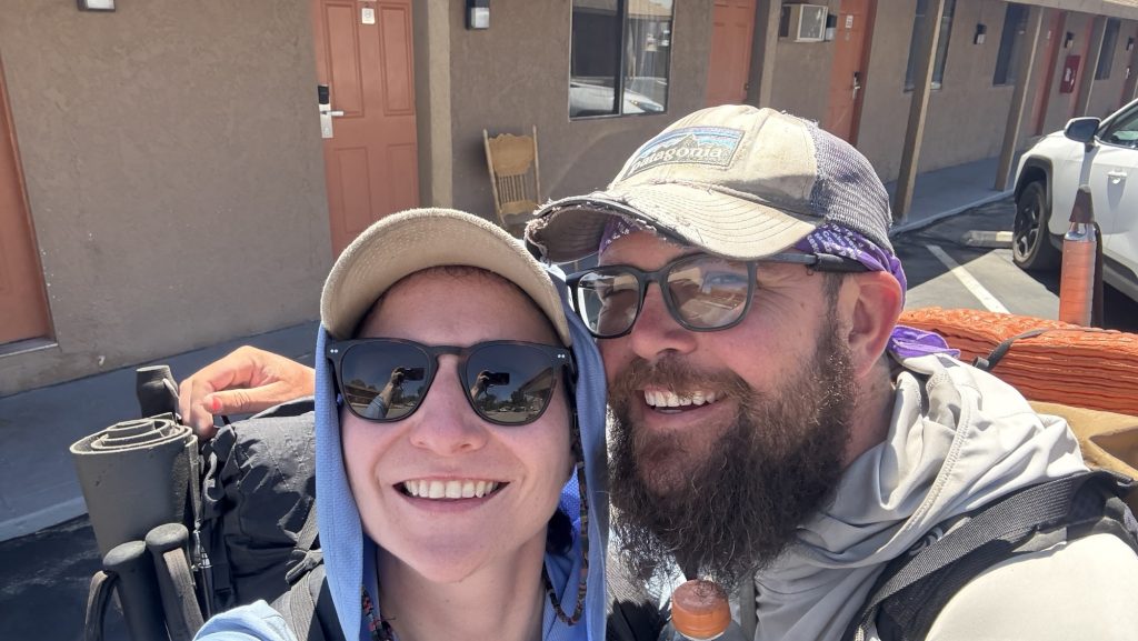
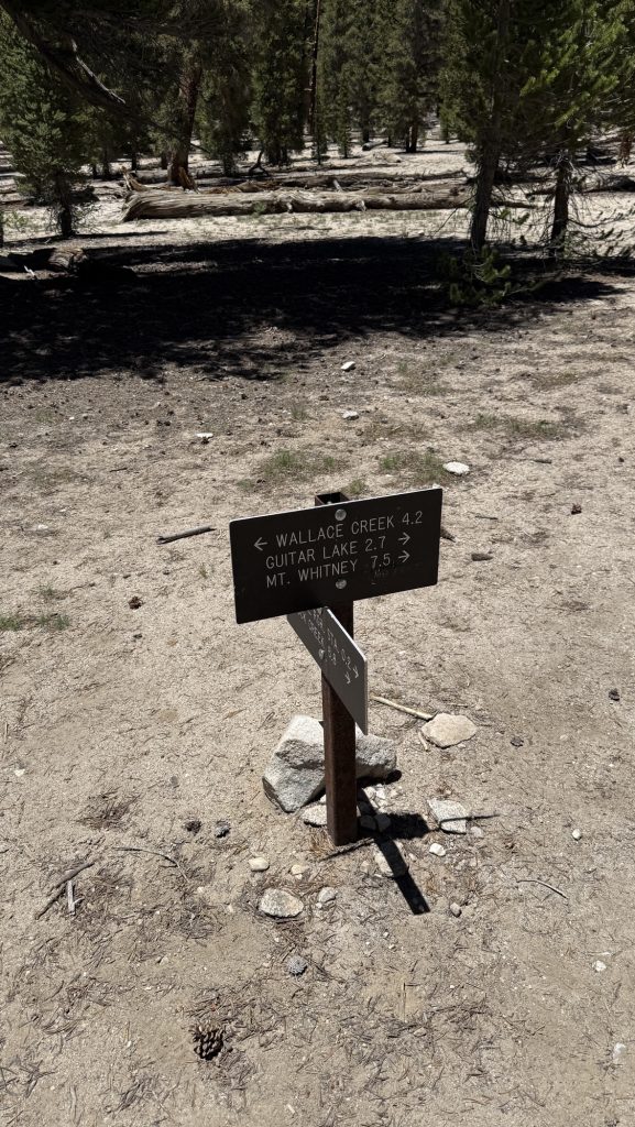
Day 58: Resupply in Lone Pine and nero back to trail (Miles 745.7 – 749.5) (5.38 miles)
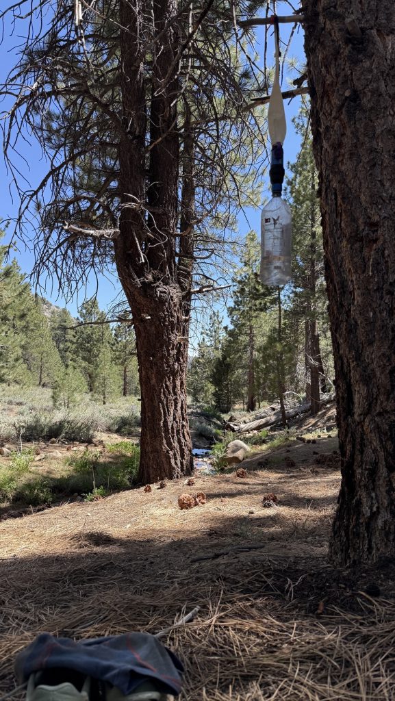
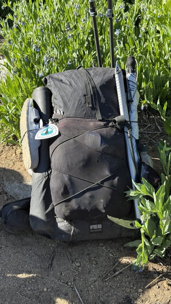
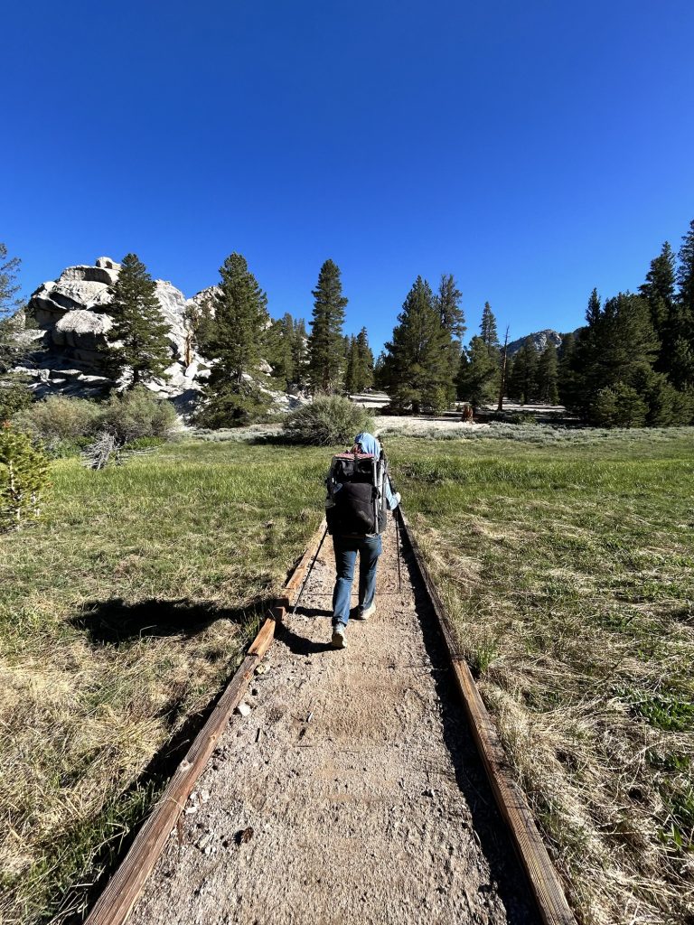
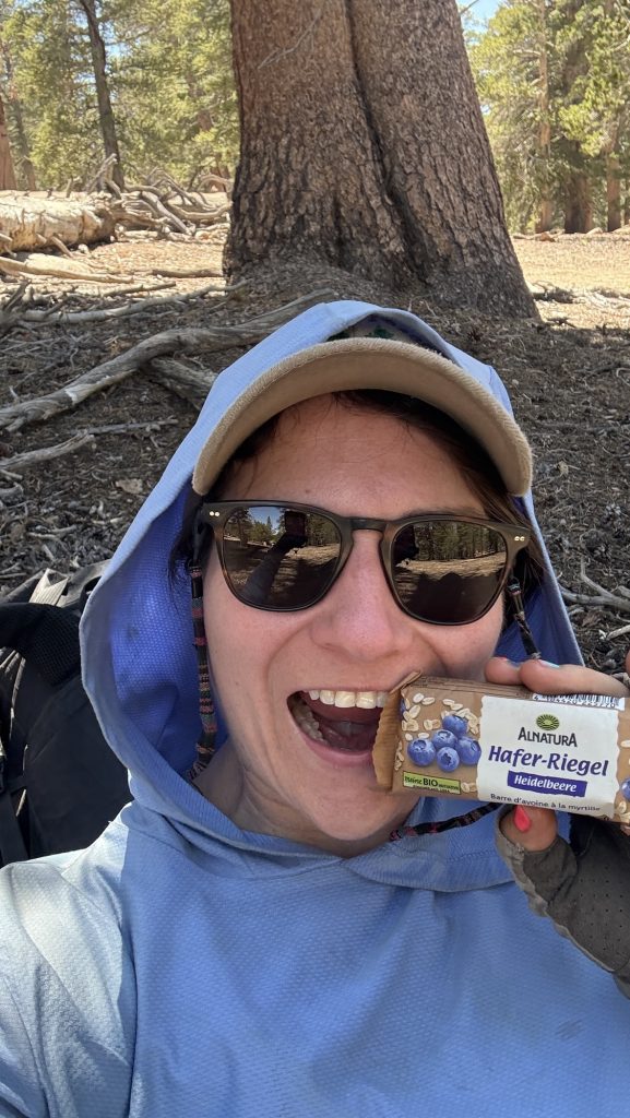
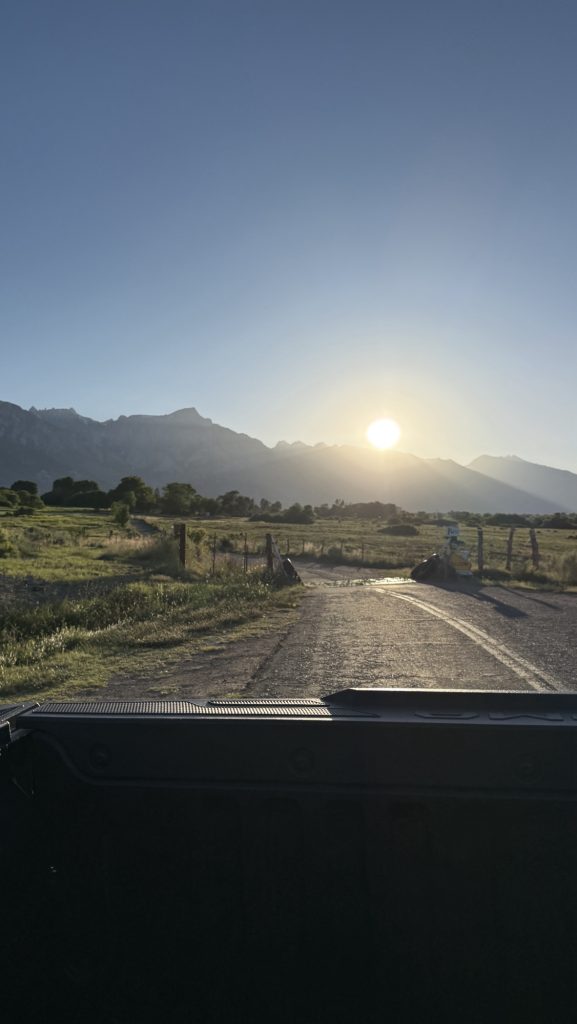
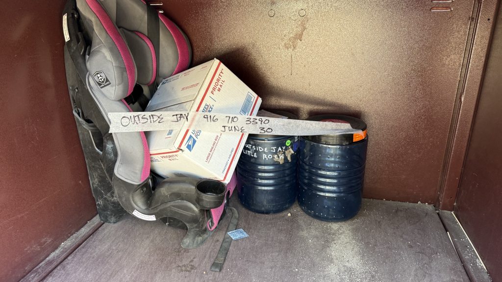
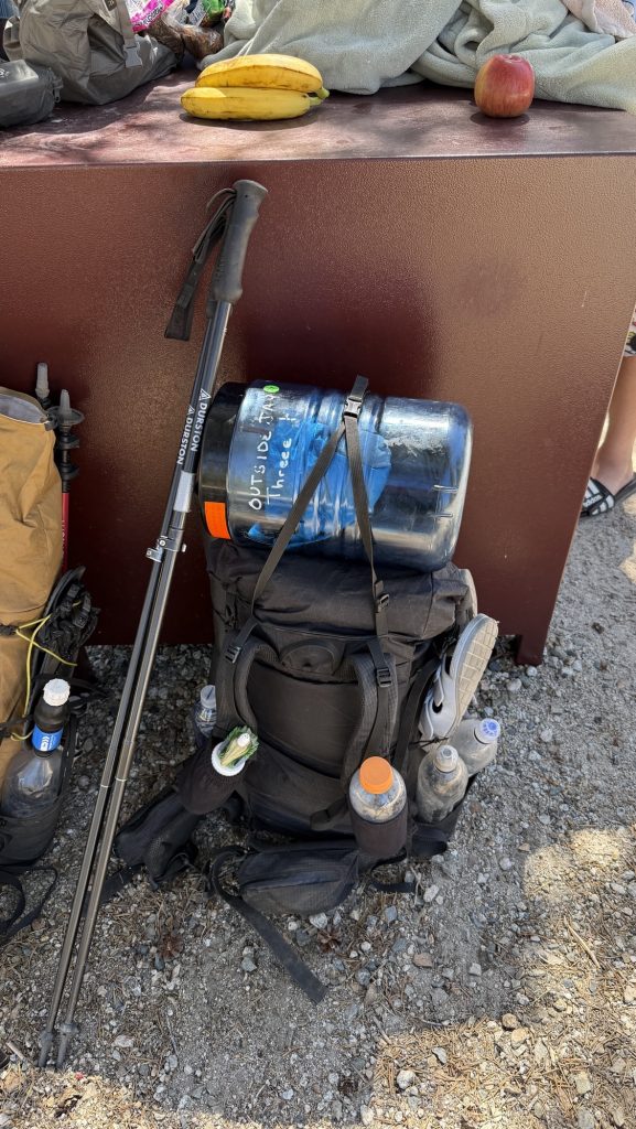
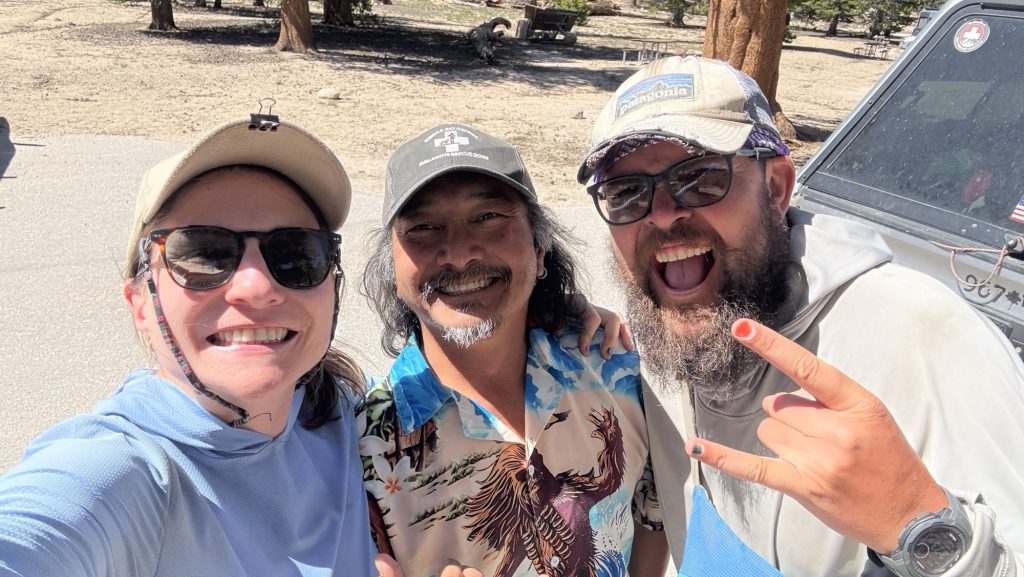
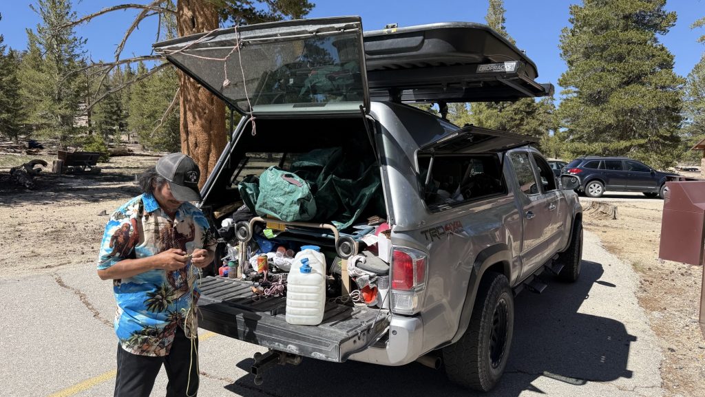
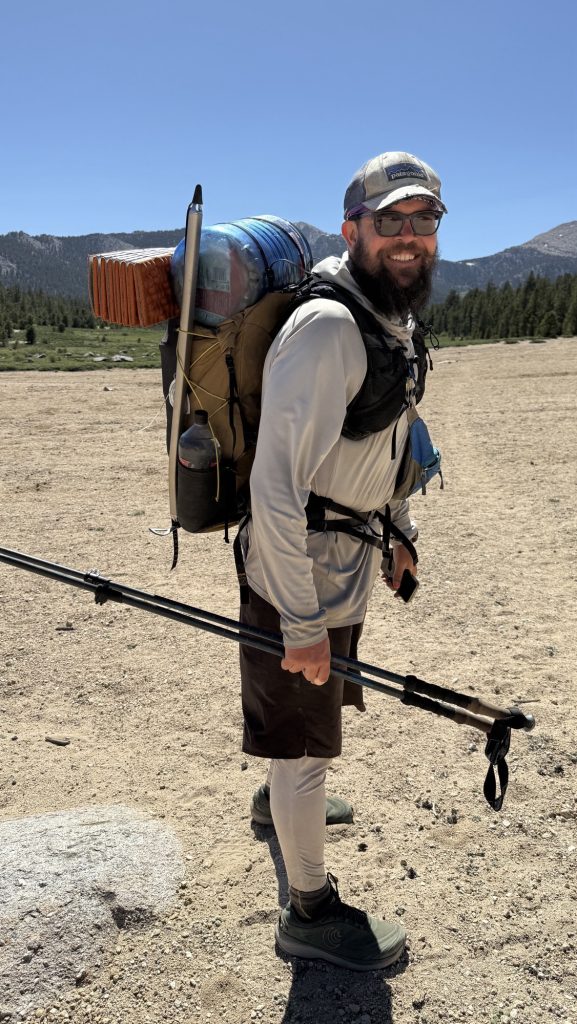
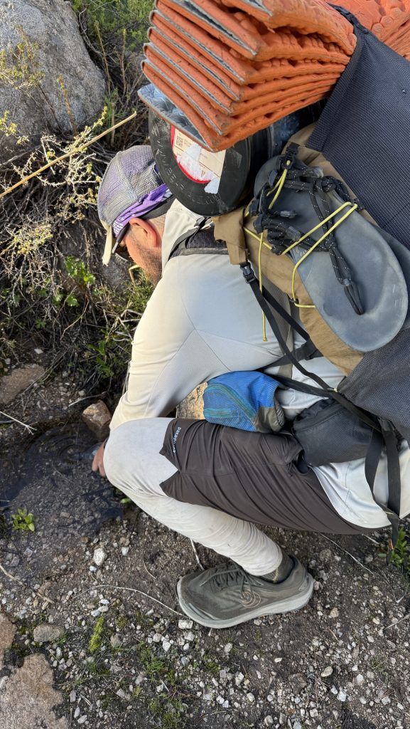
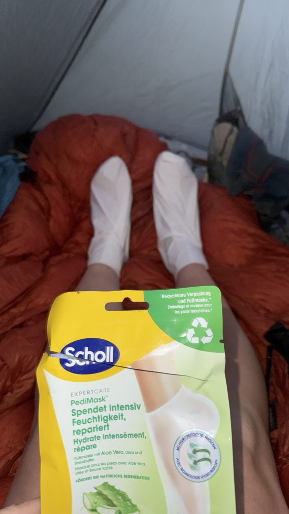
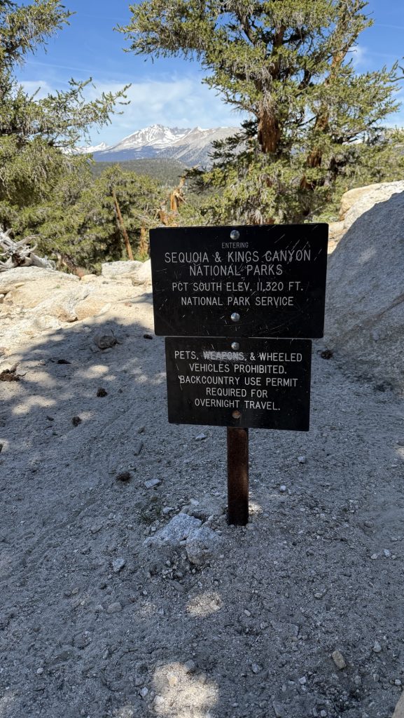
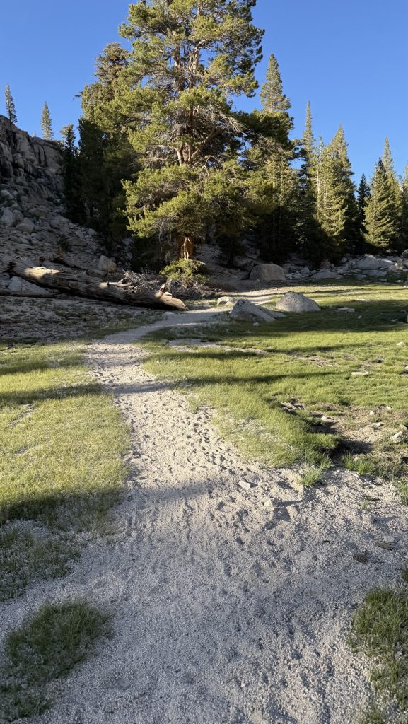
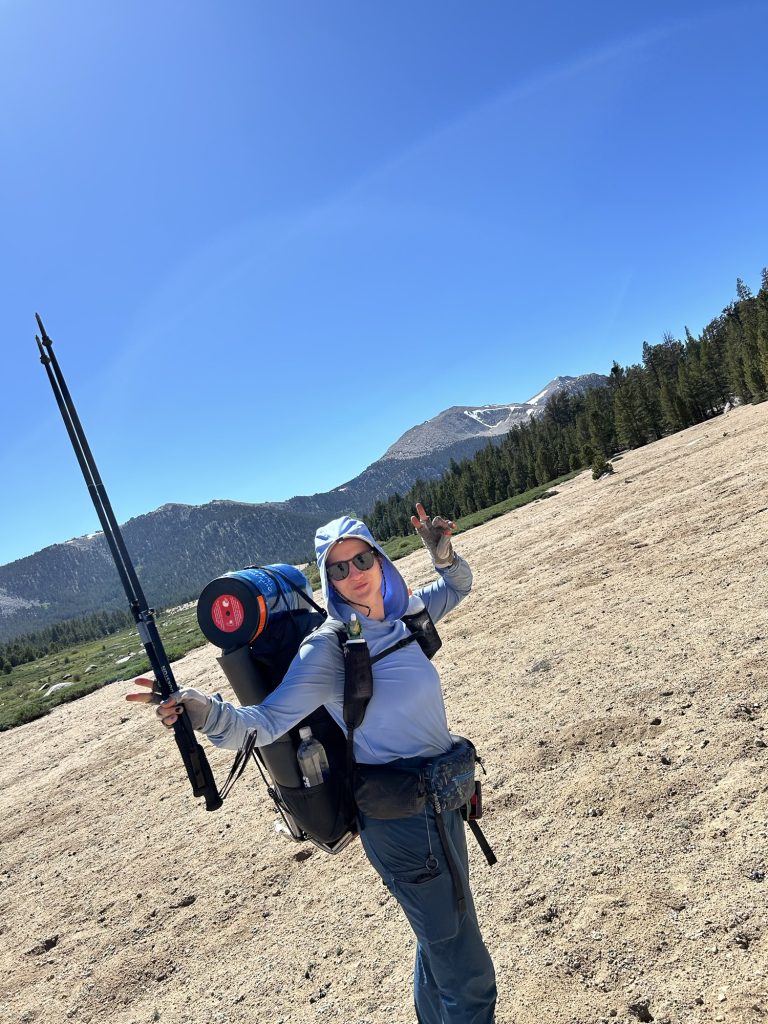
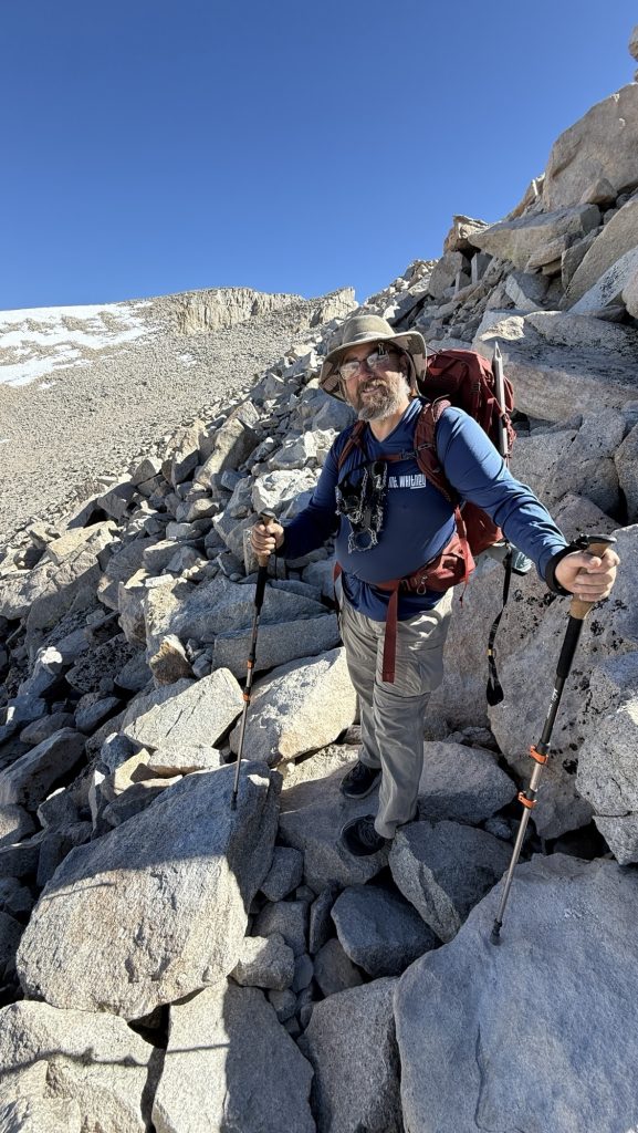
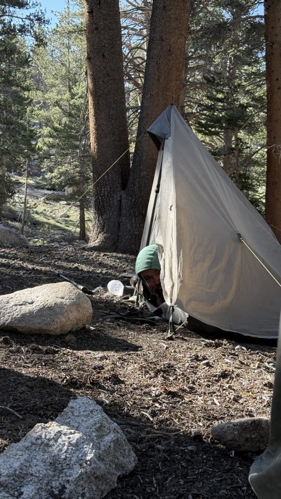
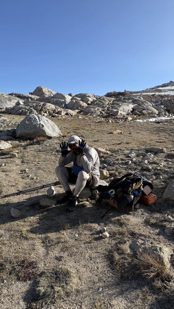
We got breakfast and did resupply. It was not a good selection and really expensive. We needed 6 days to the next resupply in bishop. We left our backpacks at elevation, the gear shop. They also had a great hiker box. We then had McDonald’s to eat because it’s cheap and then hello kitty and Ashley picked us up. We drove an hour back to cottonwood campground, and got our bear boxes out of the bear vault where Jay Go had stashed them for us. Just as I texted him, that we had picked them up, I saw his car in the campground parking lot and waved at him. We chatted, he gave us food and Ice got new trekking poles, jay go took our sun umbrellas and said he would stash them somewhere up the trail for us. What a legend. I put some clothes in my bear can, put it on top of my backpack and we bushwhacked to the blue blaze and bald to the PCT, crossing the glorious meadow we came in the day before. It was heavy with the bear cans. We hiked 5 miles and stopped at 10916 feet elevation. Tomorrow at midnight we will start climbing Mt Whitney.
Steps: 17.717
Distance: 5.38 miles
Max elevation: 10916 feet
Ascent: 1308 feet
Descent: 341 feet
Sleeping at 10916 feet
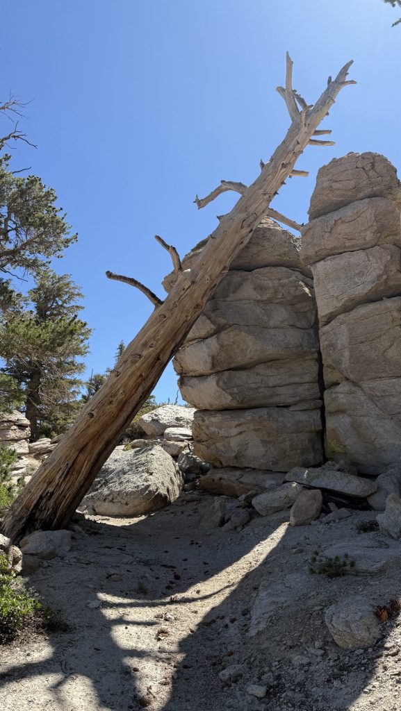
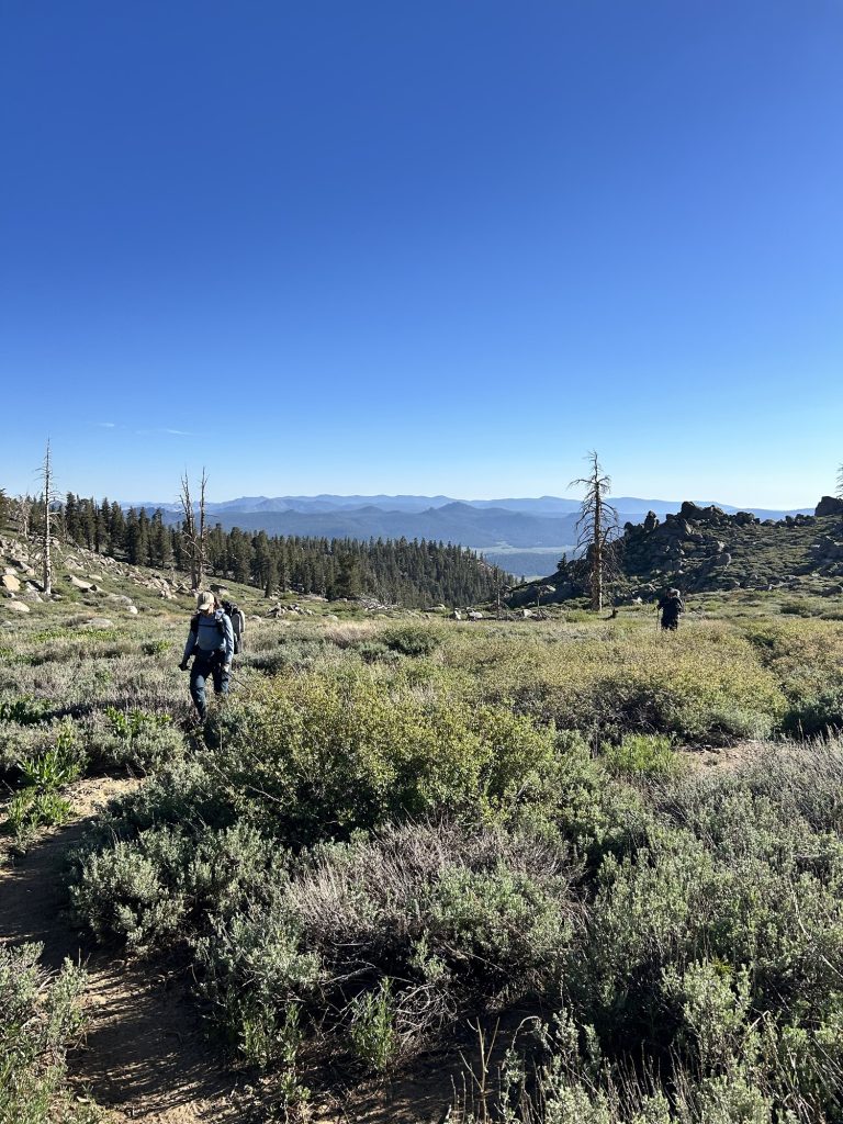
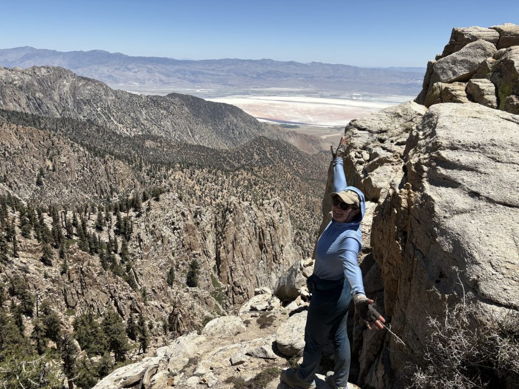
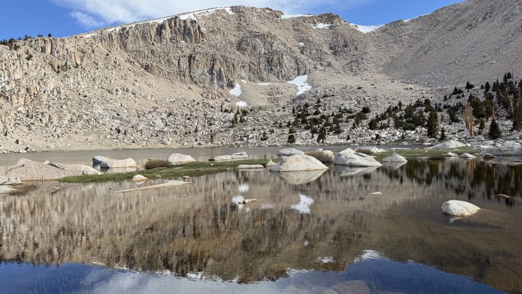
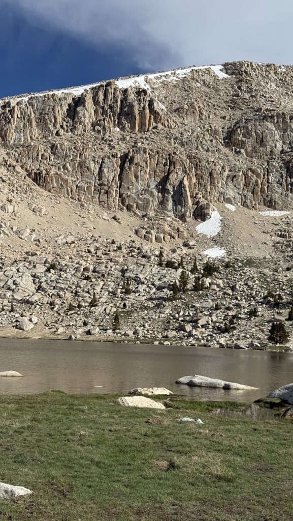
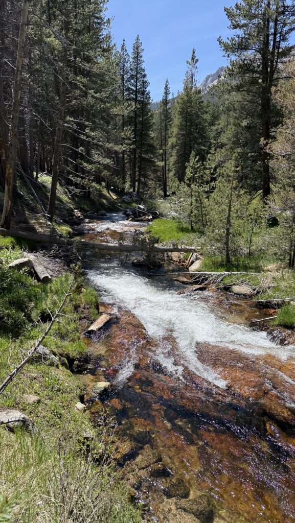
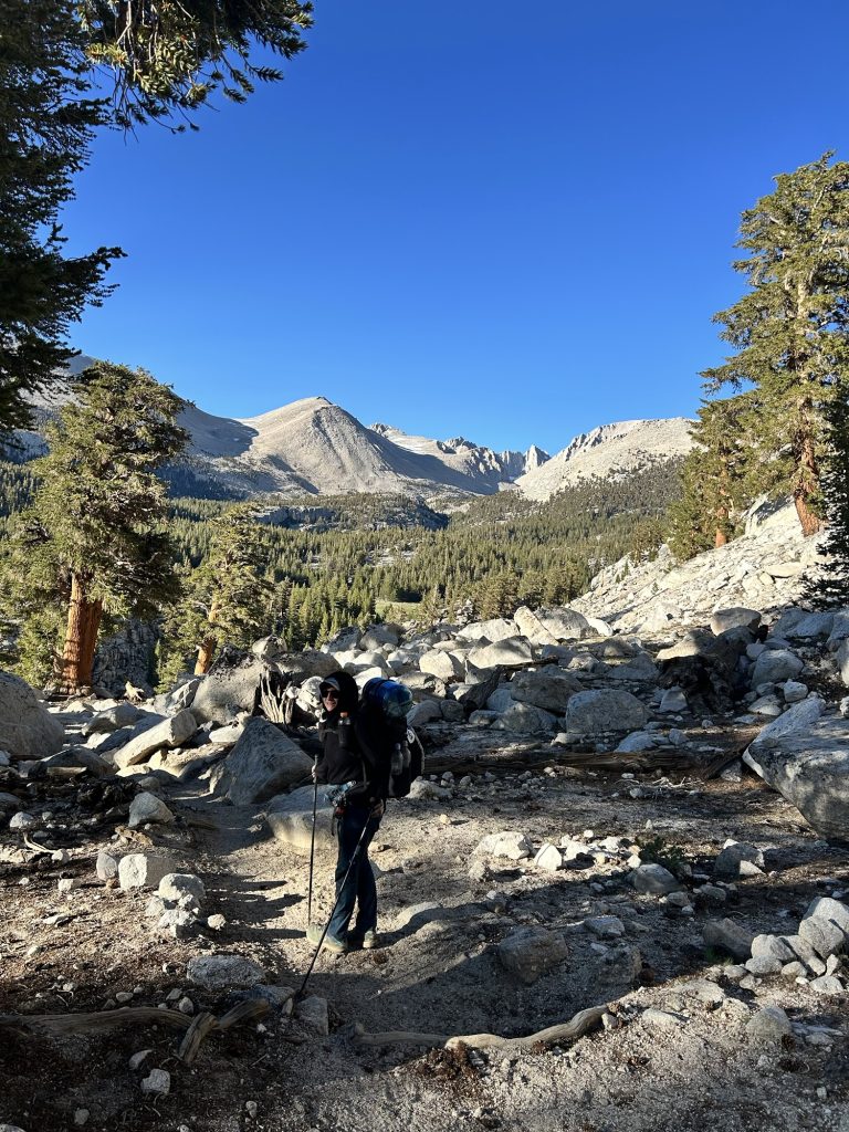
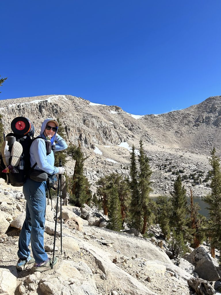
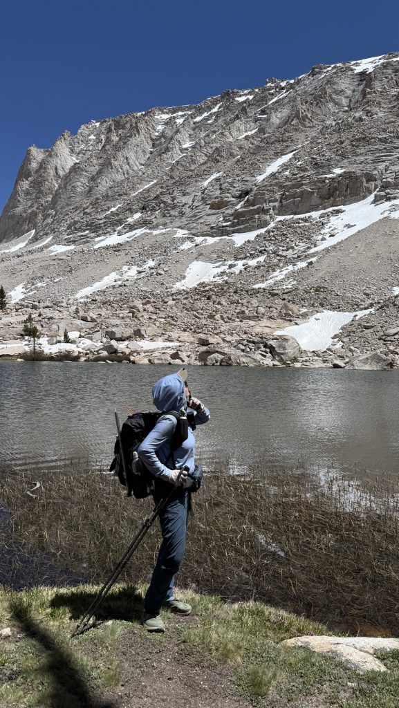
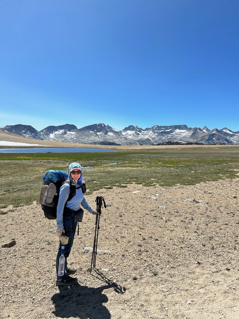
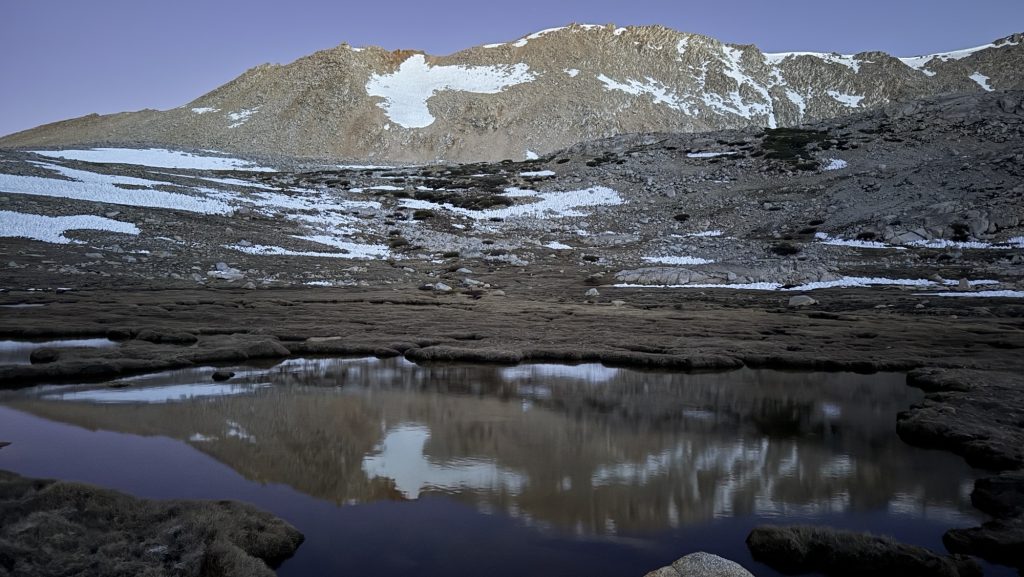
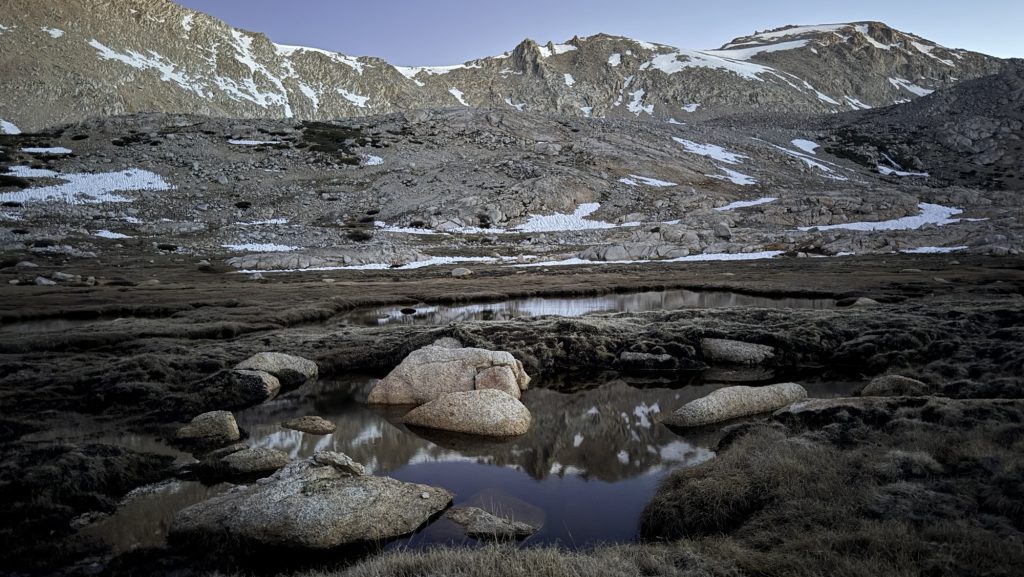
Day 59: Alpine lakes and Whitney Creek (Miles 749.5 to 767.5) (18 miles)
I woke up at 9, still very tired, did not sleep well. Beautiful sunrise. Hiked at 10000 feet most of the day. Reached first alpine lake – Chicken Spring Lake – stopped many times.
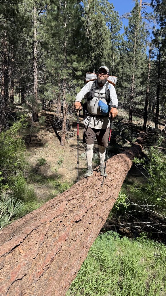
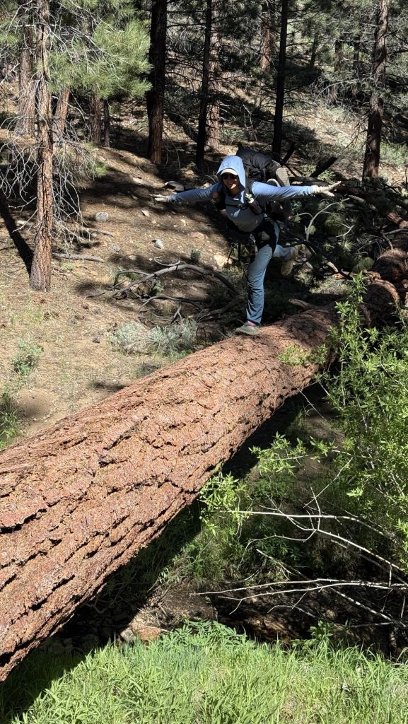
Got scared today: river crossings are frequent in the Sierra and today we crossed the first one. I lost balance with the heavy bear can and almost fell in, that would have been the end of my thru hike as there were rocks below. My knees shook for minutes afterwards. Not doing that again. Rather get my feet wet! The climb at the end of the day destroyed me – I bunked. We had to stop and rest at 5.45pm 1.5 miles from camp.
Originally we were going to climb Mt Whitney for sunrise but that wood have meant getting up at 11.30 pm to start hiking at midnight. We discarded that plan: now we hike out during the day – and might catch sunset. Much better. It’s 9.25pm now.
Stats:
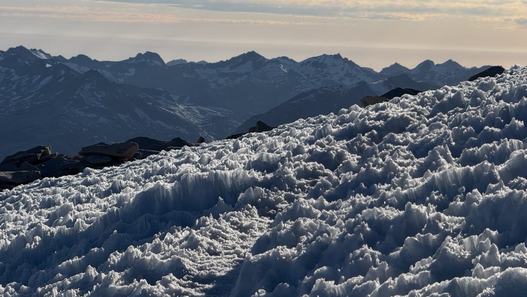
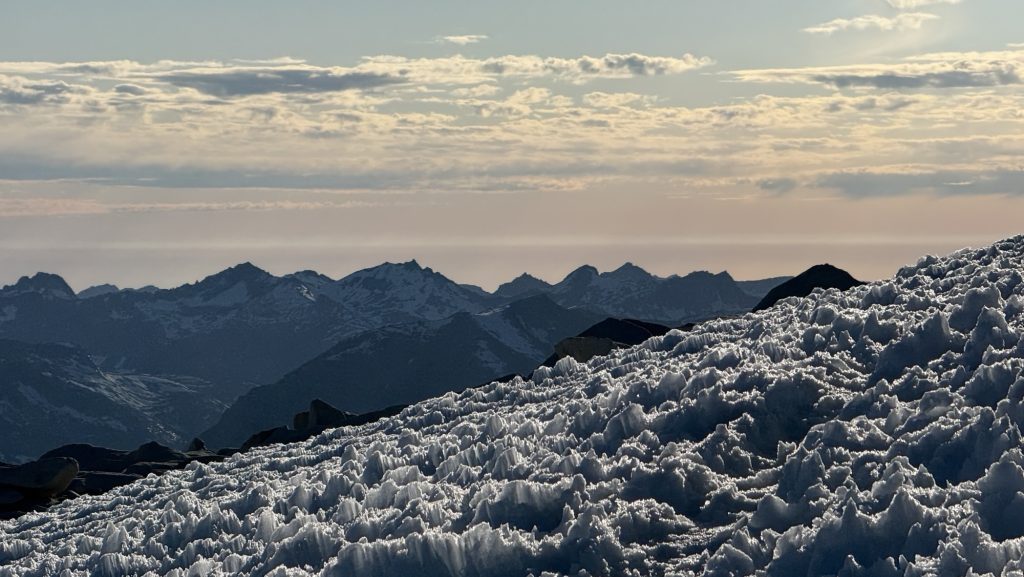
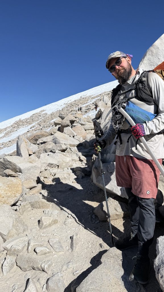
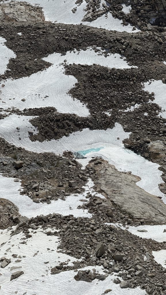
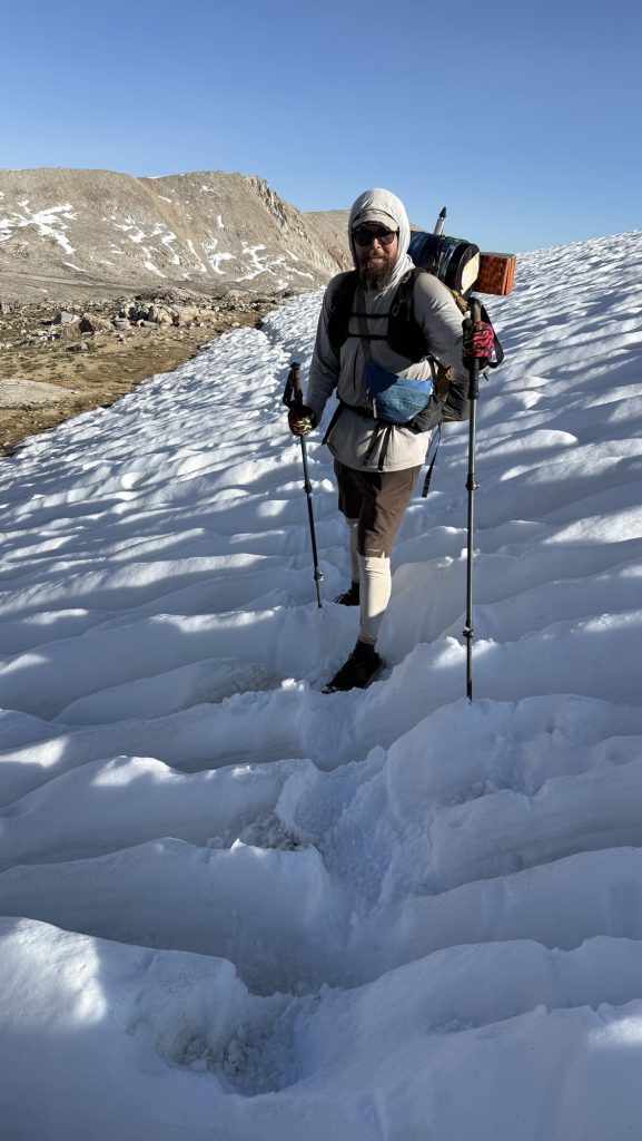
Later in the afternoon we had to cross several snow patches and did so without spikes, because you wouldn’t fall far. One had really deep holes, chest deep, so we had to climb on to of the holes, which was anger obstacle run and really fun.
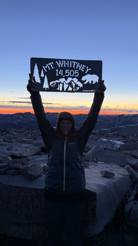
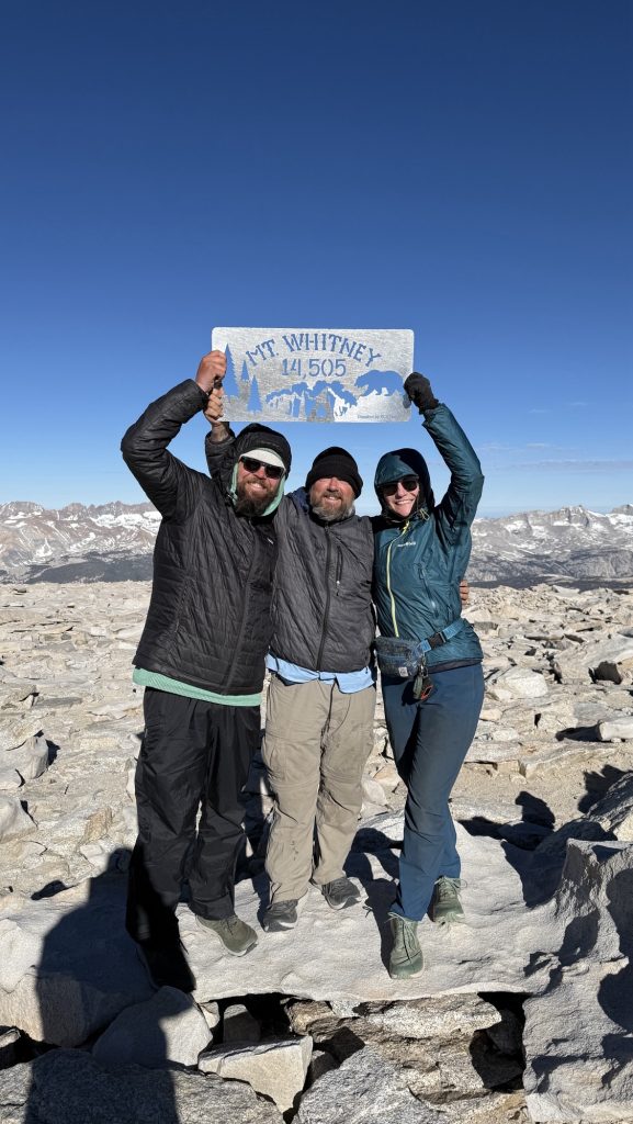
Day 60: Climbing Mt Whitney, 2nd highest peak in the Us
Been feeling like I am getting a cold all day. Today, hiking up Mt Whitney, still feel cold Symptoms, mostly congested nose, nose hurts, been bloody for a few days, just had diarrhea (13.52pm at 10873 feet. Making sure this isn’t altitude sickness. On the upside: We met up with Kitty this morning – yay!
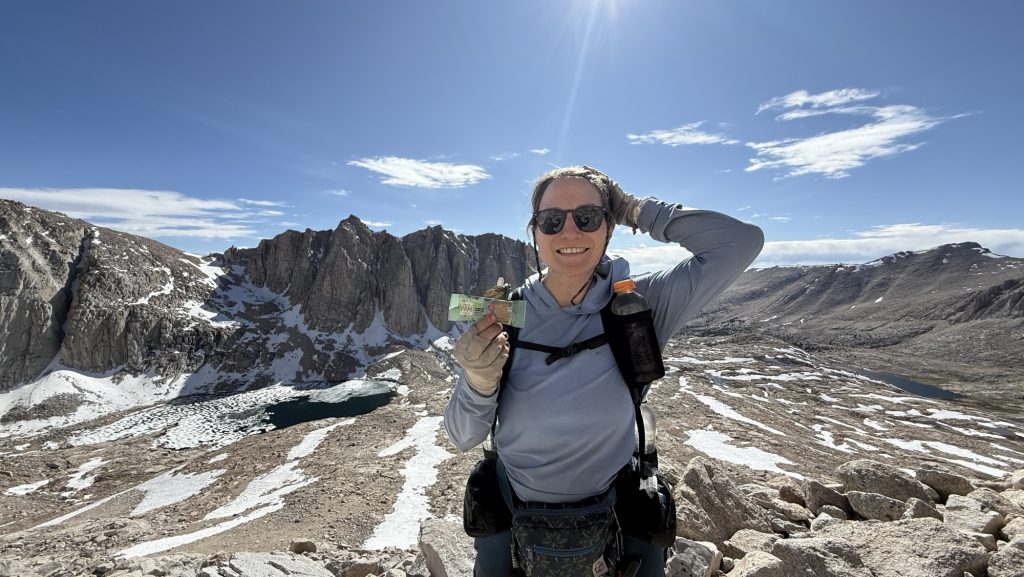
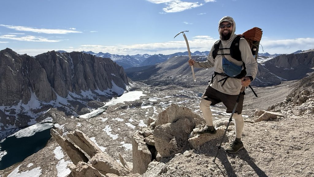
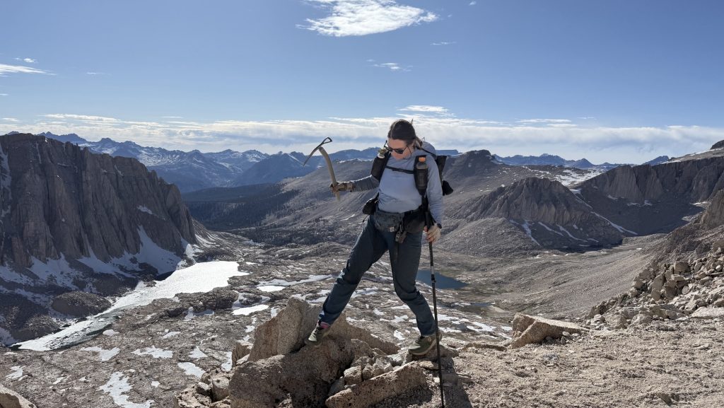
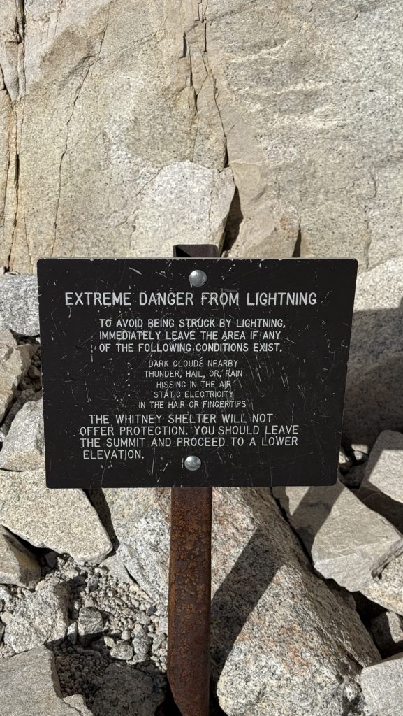
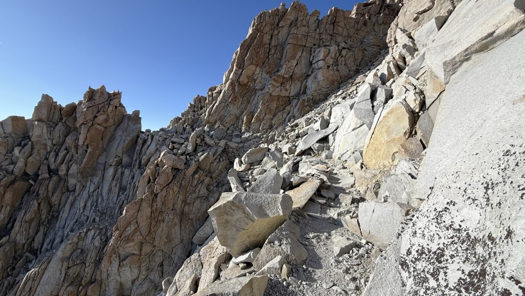
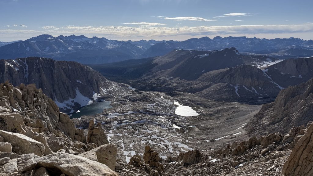
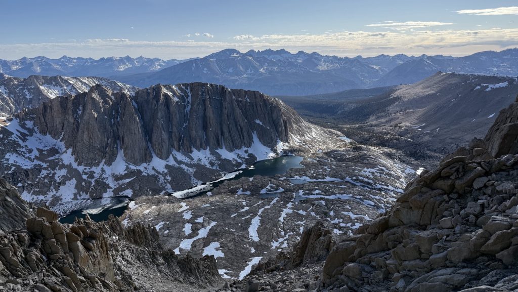
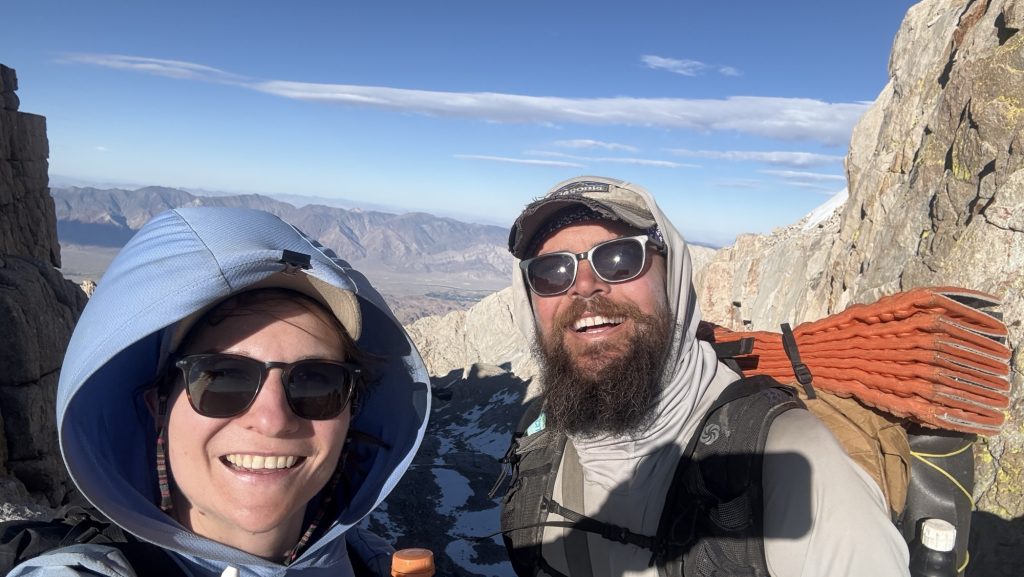
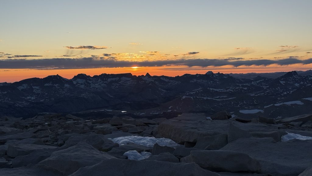
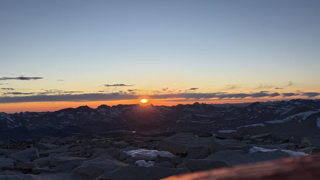
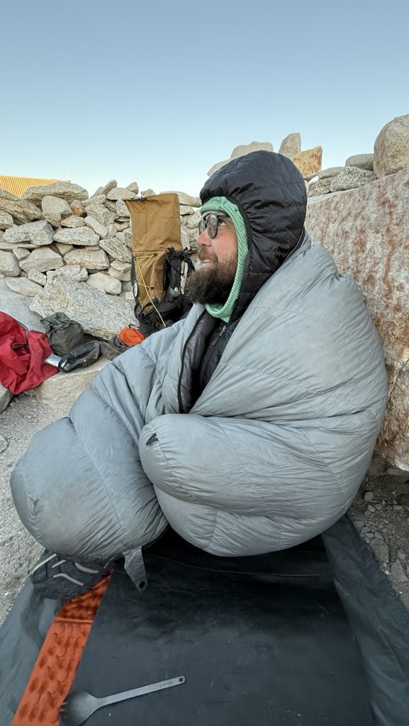
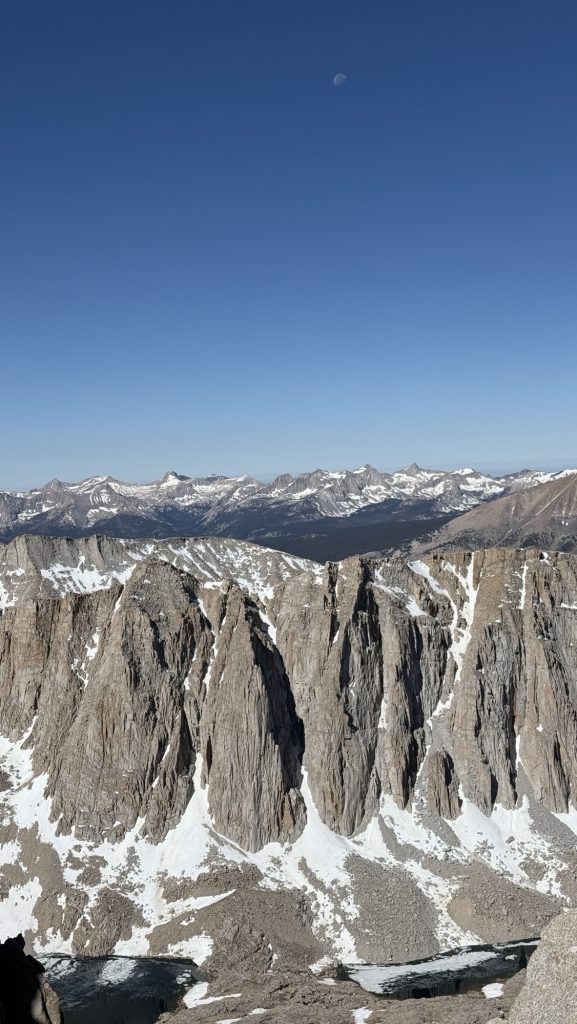
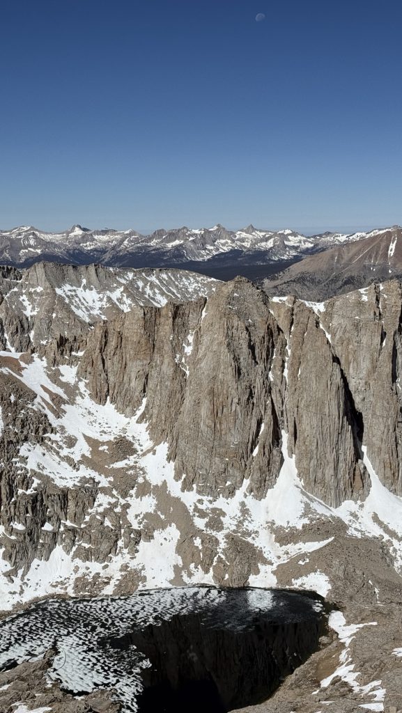
We left at 13.10pm and got to the top around 6.30/7pm. Wow! What a climb. Iceman postholed in the snow, meaning he broke through ice to his hips. He didn’t get hurt though. A few times, we had to cross snow, but we did it without micro spikes or ice axe. Wow!! It’s beautiful up there at 14500 feet. We’re staying the night, which not a lot of PCT hikers are doing because it’s cold and exposed and the emergency shelter is full of snow. We made camp behind some rocks and it was quite wind protected. Other hikers who got in at 5.30am the next day named us the “overnight crew”. I like that name.
We stopped alot and took many pictures because the hike up Mt Whitney from the Ranger station, about 7.8 miles is just so incredibly beautiful with streams, lakes, incl. guitar lake, meadows and mountains.

the sun the summit
Once in a lifetime experience sleeping on a 14er!!
Stats:
Distance: 9.37miles
Steps: 20.334
Ascent. 1336meters
Day 61: Waking up on Mt Whitney (or “sleepless on Whitney”)
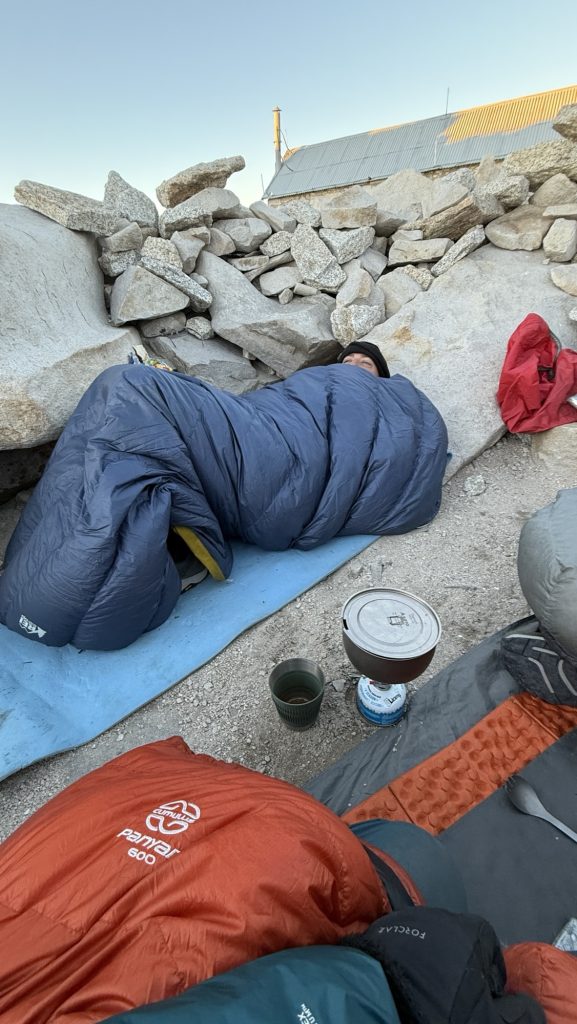
We didn’t sleep at all haha and it was incredibly cold. My pulsox was at 72% and they say below 80% you should get down in elevation immediately. I did not and it was fine. Whitney is at 14.494 feet (4.418m). But since I didn’t have any other altitude sickness symptoms, I stayed up there because hiking down in the dark is too dangerous.
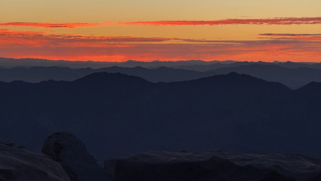
Sunrise was not as pretty as sunset because it was over the desert and 20 hikers showed up at 5.30am and it was crowded and loud. It was freezing and everyone was hanging out in their sleeping bags. We were very happy we had seen the sunset the night before.

Stats:
Distance: 7.79 miles
Descent: 1242meters
Steps: 19.920
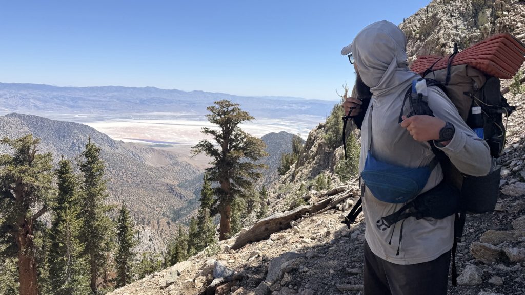
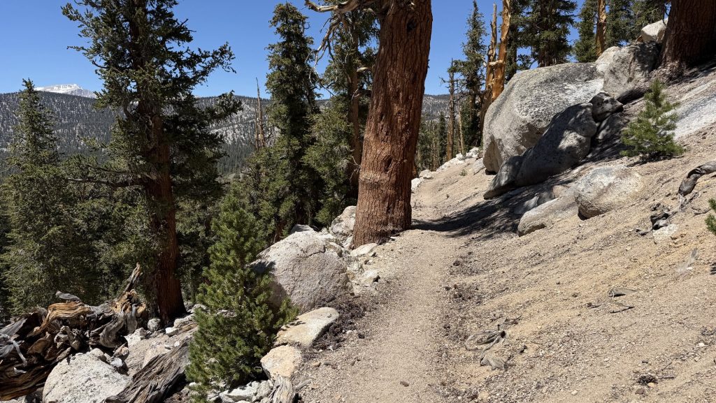
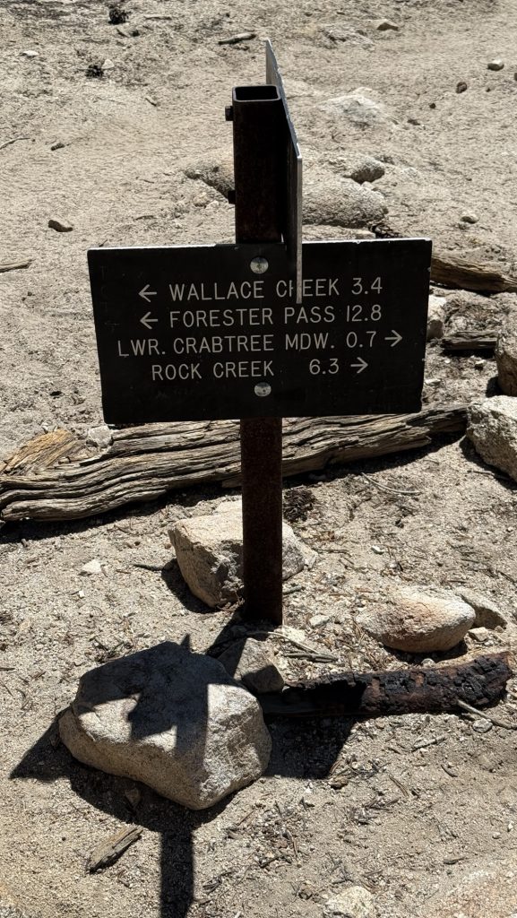
Day 62: 768.2 ranger station to 778.2; 2 Miles south of Forester Pass (13 Miles)
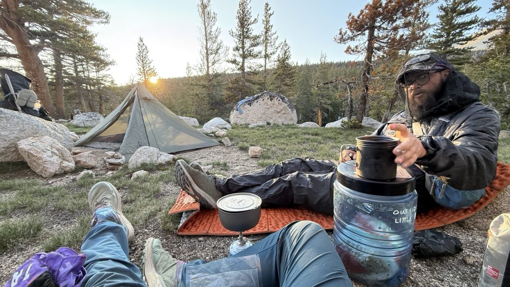
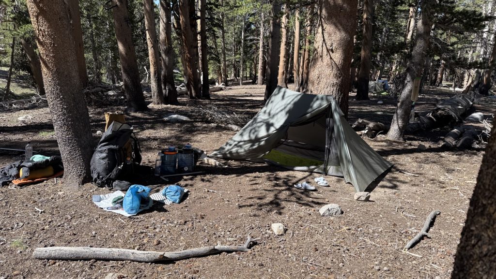
Today was another incredibly beautiful day in the Sierra: we were only planning to hike 9 miles to the bottom of forester pass, so we took it slow; slept in to recover from climbing and sleeping on mt Whitney the night before. I woke up at 6.30am and cleaned up and sorted my pack back to its original set up, as we “slack packed” Mt Whitney, meaning we brought only what we needed to climb and sleep on Whitney and left the rest in our tents down at the ranger station the night before so we would have light packs making the climb. I felt like a cold was coming the day before climbing Whitney and I felt quite sick when we got down because I hardly slept, so I needed to rest.
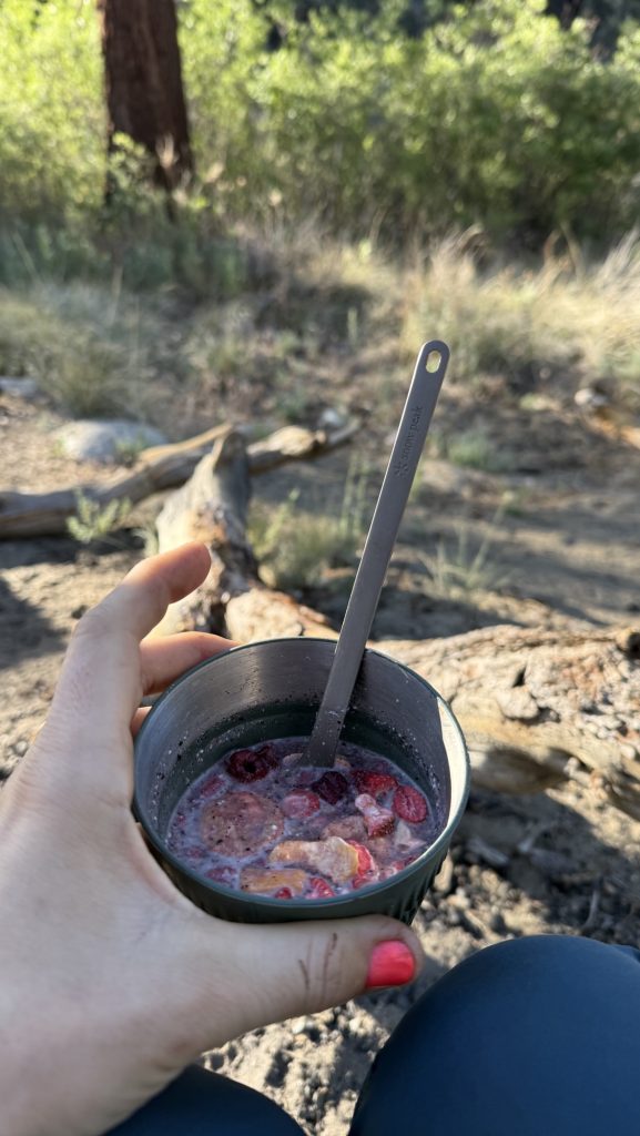
We had a chill morning, enjoyed the beautiful campsite, made coffee and oatmeal and left at 10.30.
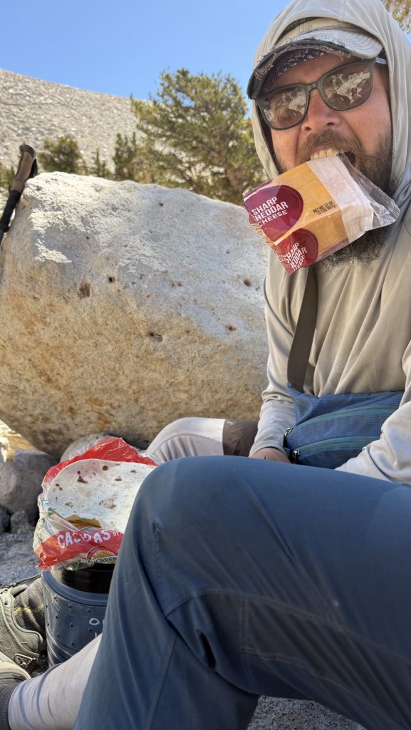
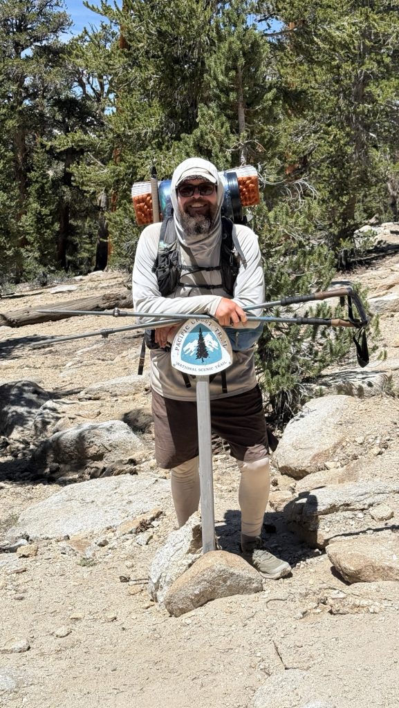
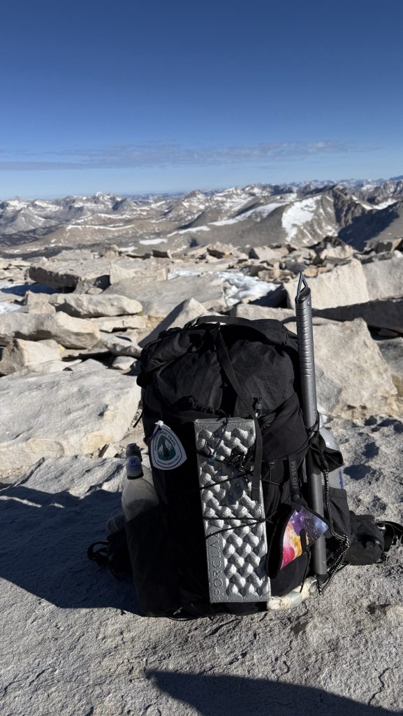
The PCT overlaps with the famous John Muir trail the next 270 miles or so through the Sierra Nevada and so we saw many section hikers limping on trail today, as they had also climbed Whitney the day before but don’t have trail legs and 780 miles under their belt, like us. They also don’t carry the PCT sign visible on their backpack like the pct thru hikers get when they start in campo, Mexico. by the PCTA. Even without this obvious marker, we can spot them: they are clean, smell like sope or laundry detergent, their clothes aren’t ripped, and they carry huge and heavy looking backpacks with all kinds of unnecessary things hanging on them that thru hikers don’t bring. My pack has gotten smaller over the last two months because you realize each week which items you never use and then you drop it in a hiker box or send it home if its a more expensive item. Hiker boxes are big boxes in town where hikers can drop and take gear for free. Usually you find good things in there, because someone needed for example batteries or ziplock bags and bought a pack and left 80% cause we are ultralight 😆
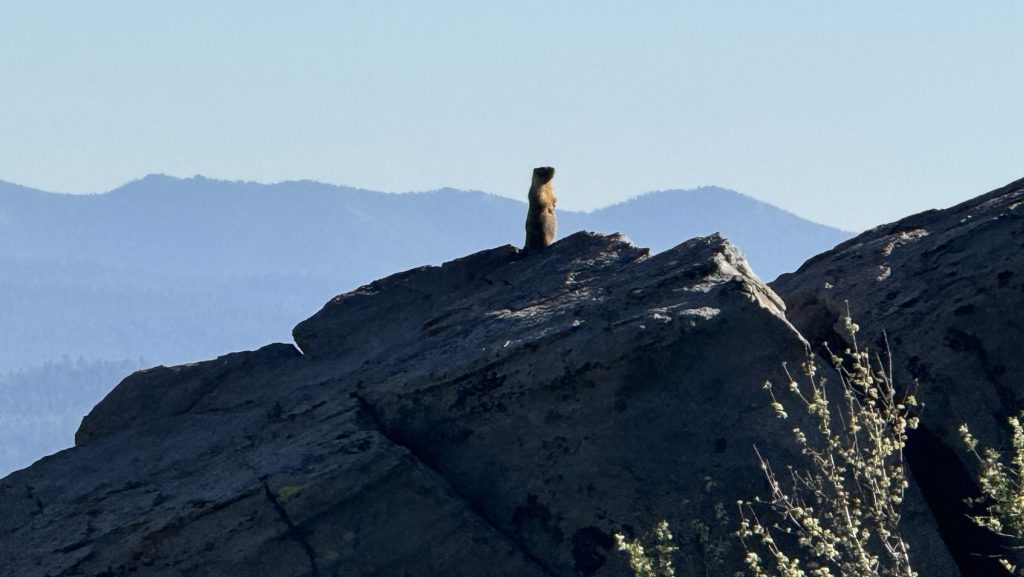
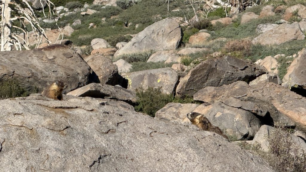
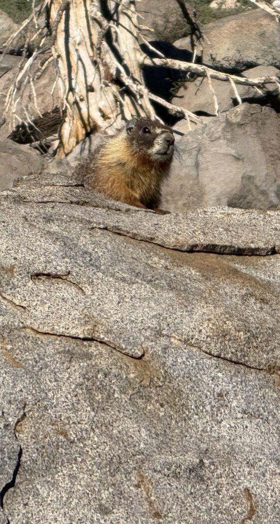
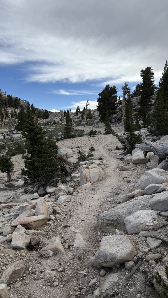
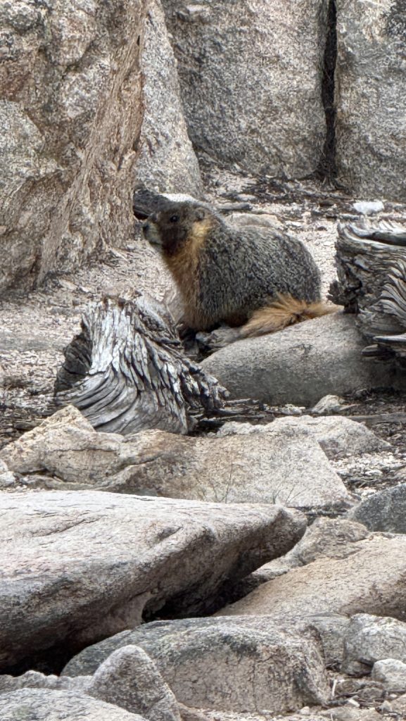
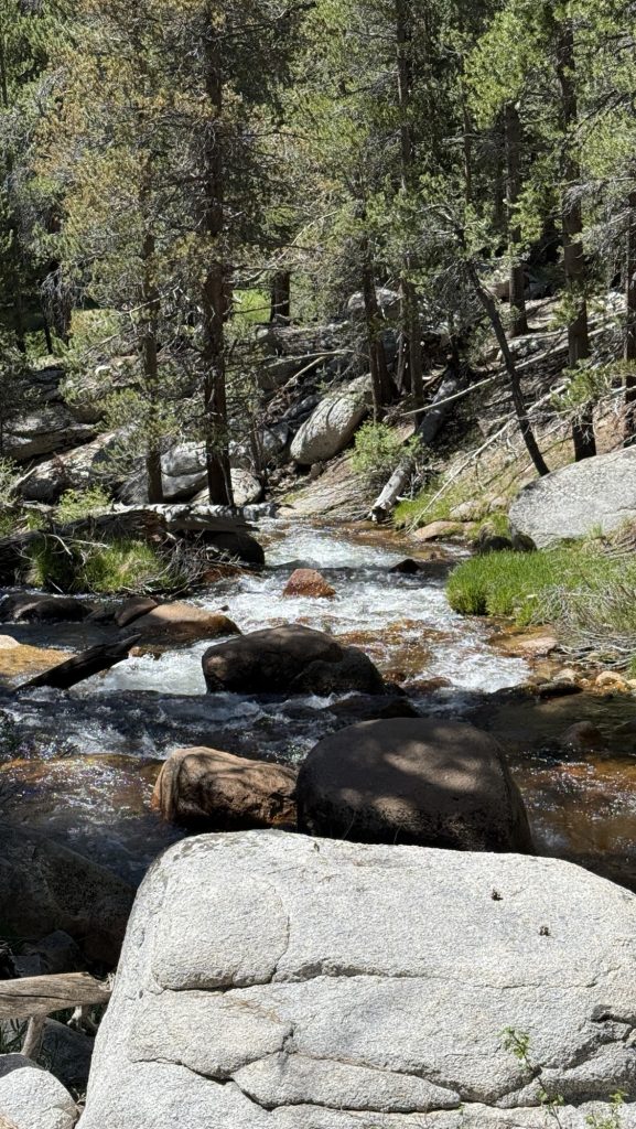
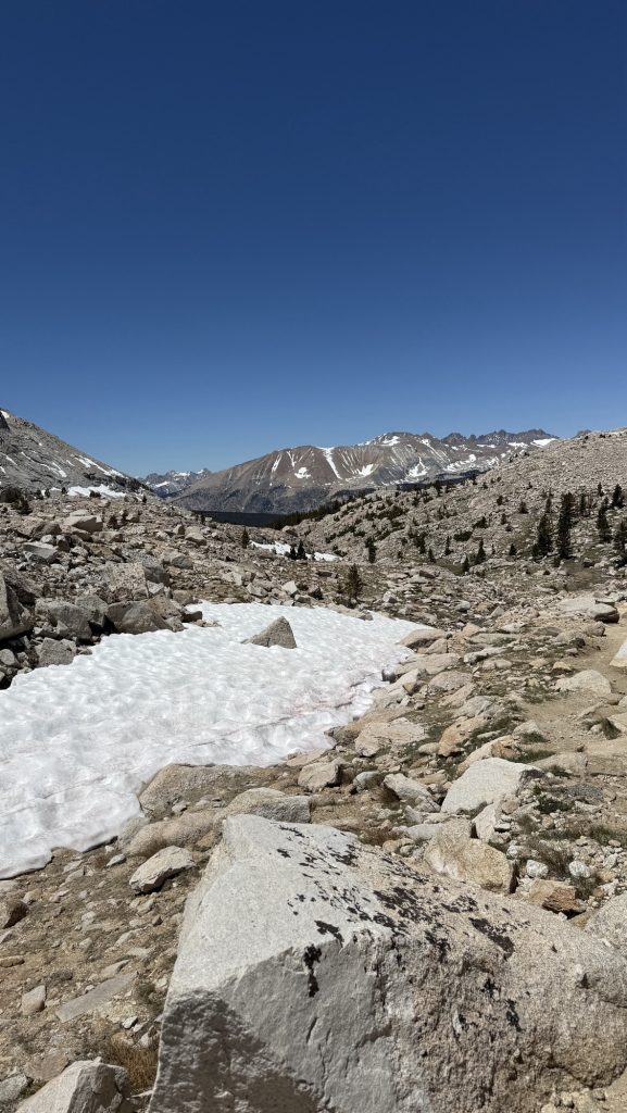
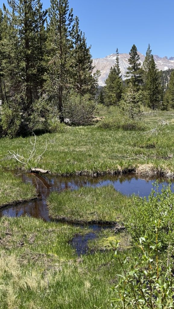
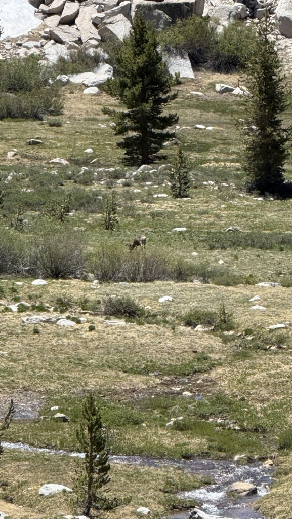
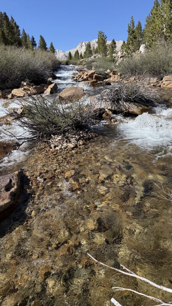
The trail was so pretty: pine forests, streams every few minutes, sometimes even raging waterfalls, not too hot but blue skies. At 10-12k feet all day. We stopped many times because I was feeling a bit sick and always had the most incredible views: snow covered mountain ranges, alpine lakes, pine forests only interrupted by snow and little creeks. And in the prettiest spots, we always saw a few marmots wiggling their fat buts. We also saw a deer.
We had wet feet from crossing several raging rivers, but after my experience almost falling in on day 59, we are more careful now and go the saver way. Today we hiked up the river for 5 min to get to a shallower spot. On another crossing today, my mind messed with me and I got scared half way crossing a river on a big log and I had to turn back and collect myself. I then saw there were big boulders in the river I could use to set my poles on and then I could cross. Still scary.
We made it to 2 miles down forrester pass and are camping in the middle of Rocky Mountains next to a river. We are here with a Belgian couple that iceman met two months ago and a couple from Denmark and France. We will leave at 6am to climb forester pass before 8am when the snow gets slushy. I’m excited, it’s one of the iconic passes on the PCT.
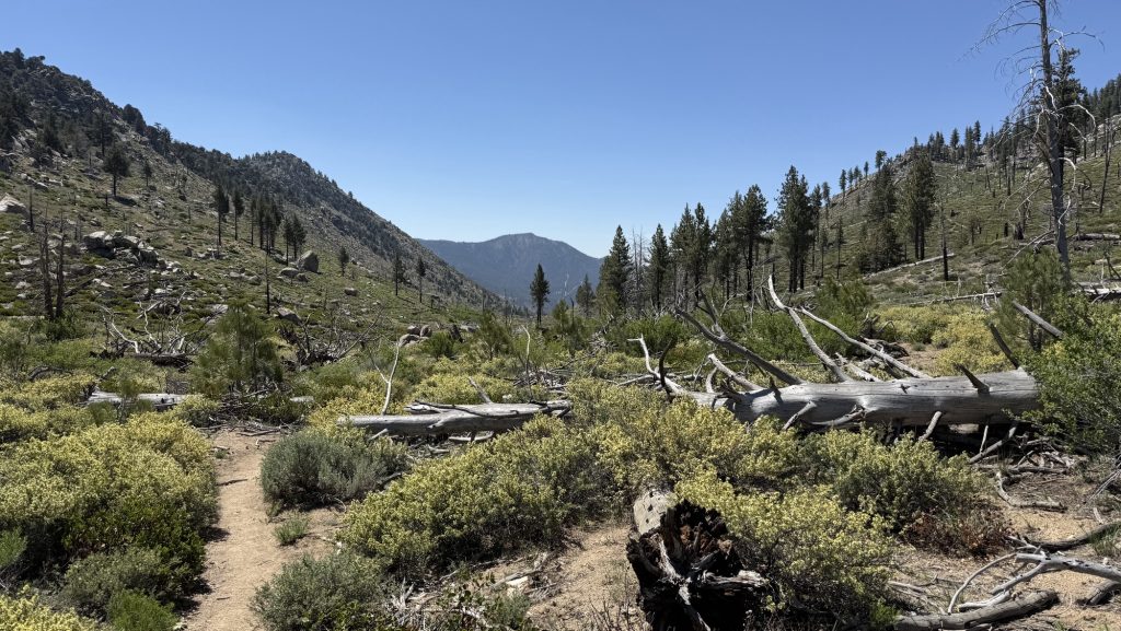
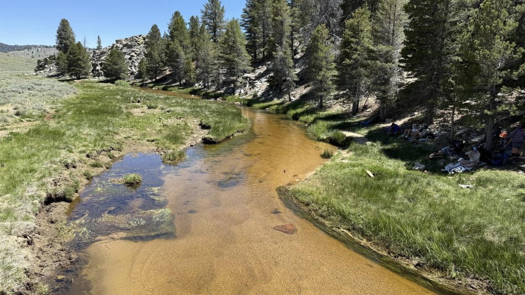
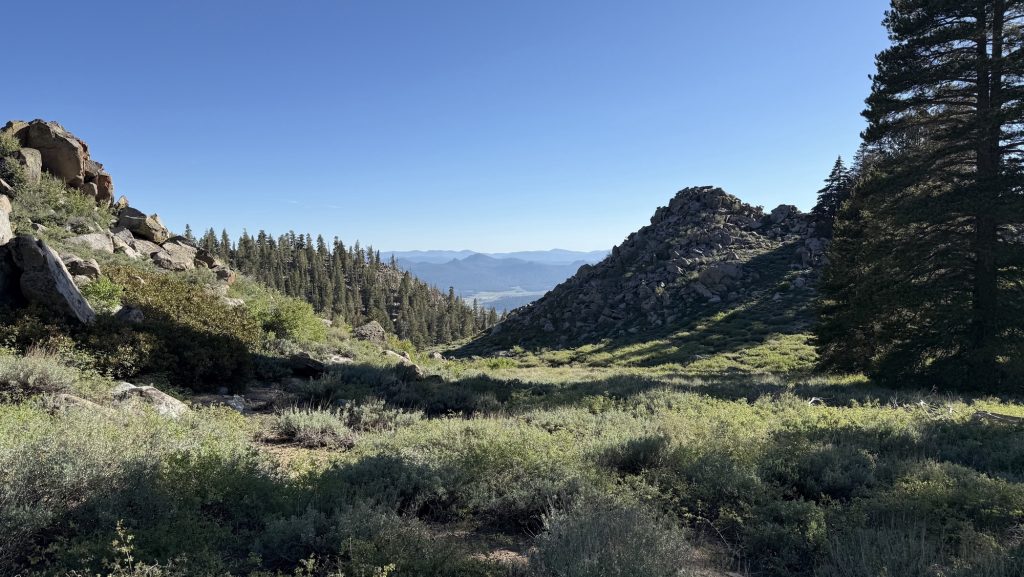
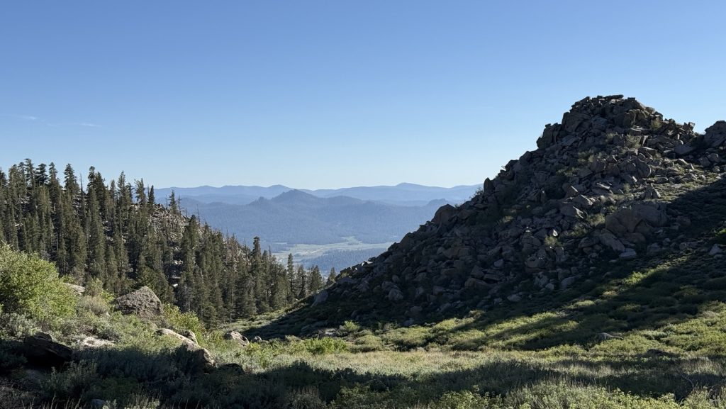
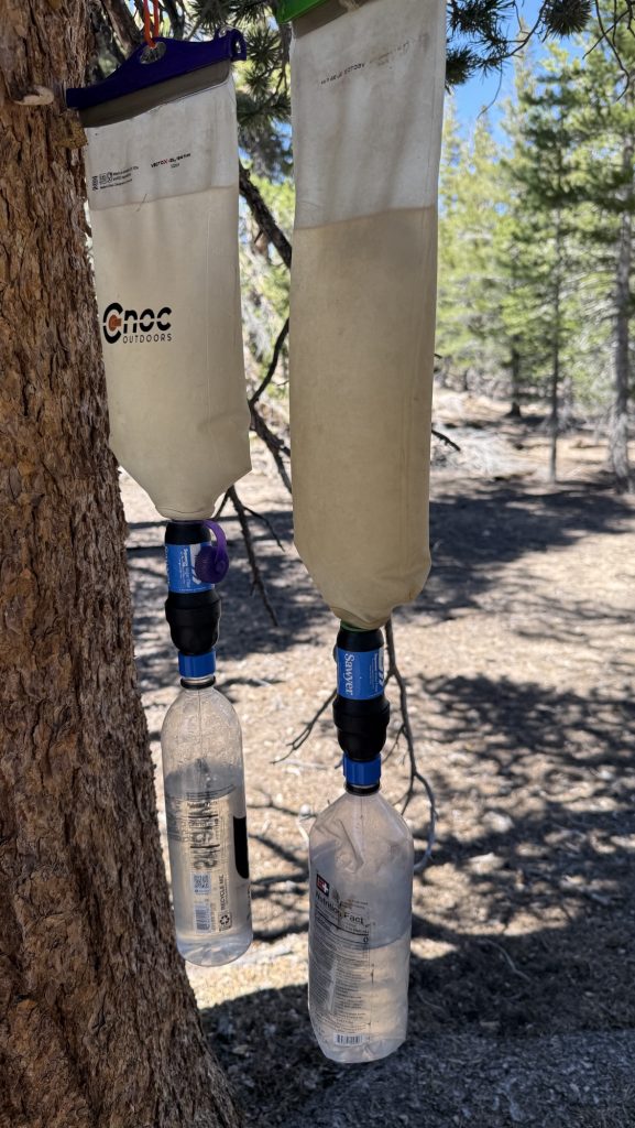
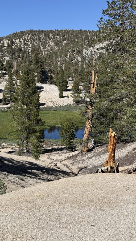
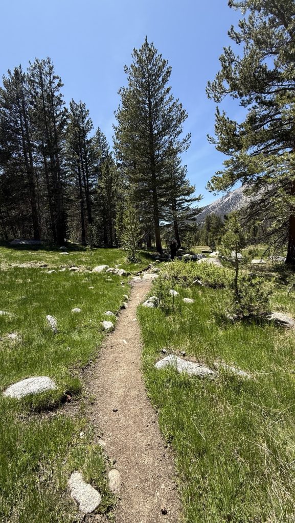
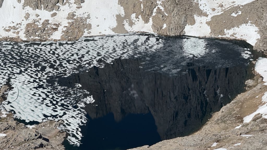
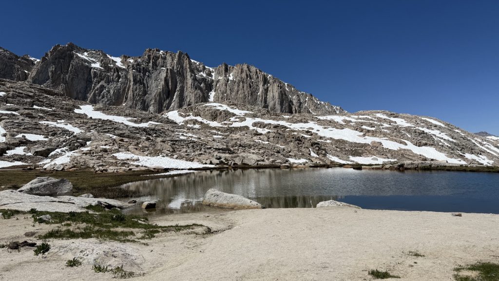
I’m so happy I’m in the Sierra now. The scenery is so spectacular; around every corner is another breath taking view. There is no scarcity of water: there is a stream or alpine lake every few minutes, snow, which we could melt, filter and drink. The temperatures are much lower; the last days in the desert, out of Tehachapi to Kennedy Meadow South were super tough: I was always dehydrated, sometimes there was no water for 20 miles and alot of climbs. And the elevation just provides so many great views, it’s mind boggling glorious. Bighorn Plateau is a small area with a round little lake majestically resting beneath a snow covered mountain range. We took our lunch break here overlooking the scenery and watched marmots play.
I was out of battery because the freezing night on Whitney killed my power bank and phone battery so I hardly took pictures; iceman did though. We ran into his friends, a couple he named “Beer & Waffles” from Belgium, luckily they were letting me use their power bank, thank God. This way I can write my Diary now and take pictures tomorrow.
Thanks for reading! 🫶

Day 17: Hardest and most beautiful day yet. (162.6 – 177.3)
Read Article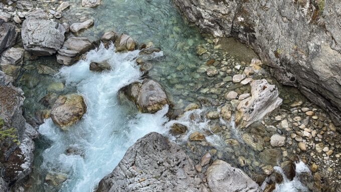
Days 135 – 137: PCT Miles 2500.73 – 2575.1
Read Article